Rubha nan Sgarbh
Coastal Feature, Headland, Point in Argyllshire
Scotland
Rubha nan Sgarbh
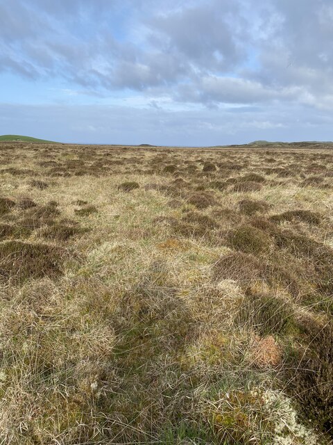
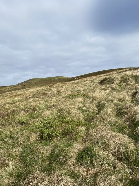
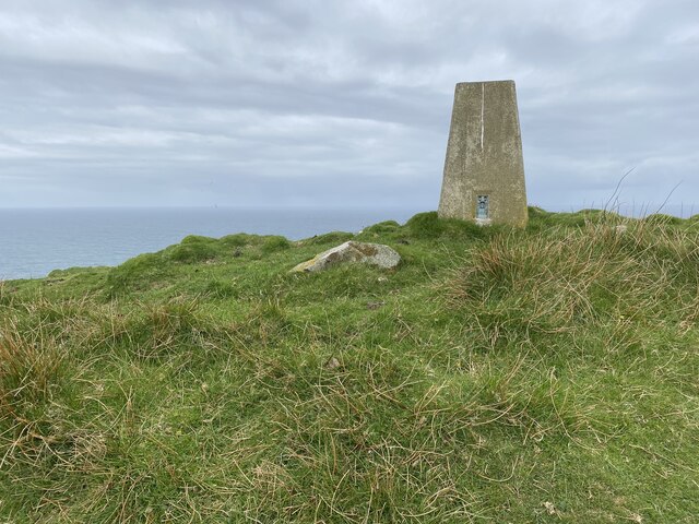
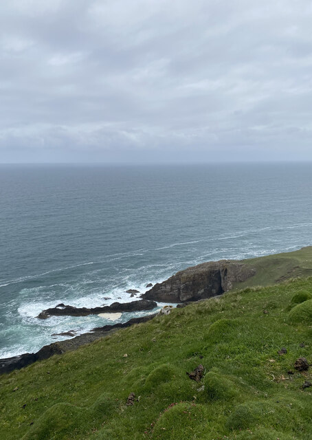
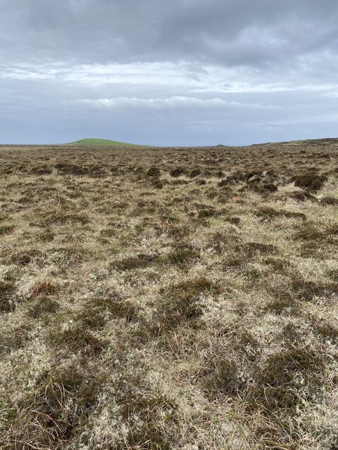
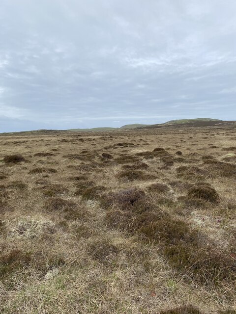
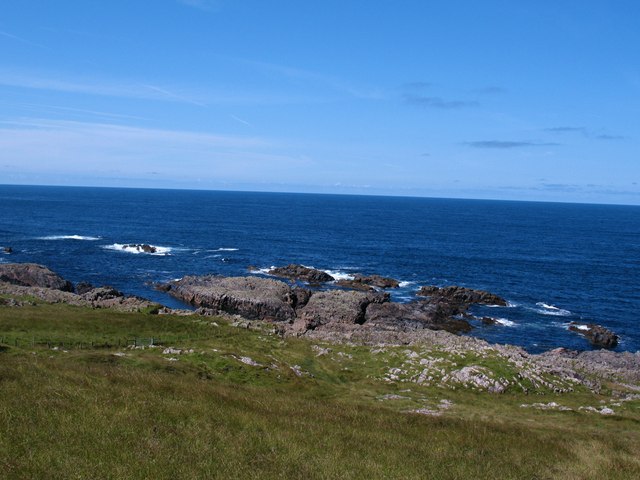
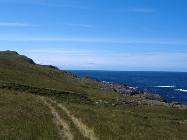
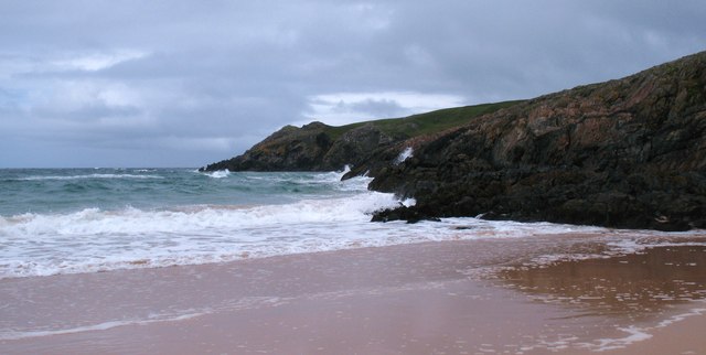
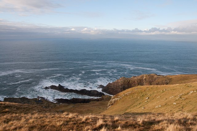
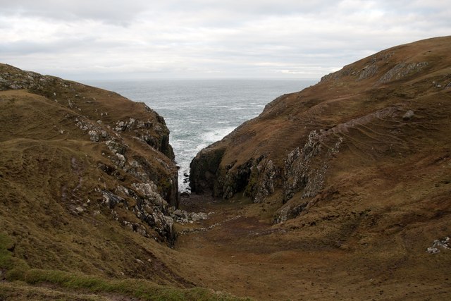
Rubha nan Sgarbh is a prominent headland located in Argyllshire, situated on the western coast of Scotland. This coastal feature is known for its stunning natural beauty and rugged landscape. The headland extends into the Atlantic Ocean, providing breathtaking views of the surrounding area.
The name "Rubha nan Sgarbh" translates to "Point of the Cormorants" in English, and it is a fitting name as the headland is home to a large colony of these seabirds. Visitors can often spot these black-feathered creatures perched on the rocks or gliding across the water.
The headland is characterized by its steep cliffs, which rise dramatically from the sea, reaching heights of over 100 feet in some areas. These cliffs offer a nesting site for various seabird species, including guillemots, puffins, and razorbills. The sight and sound of these birds create an incredible wildlife spectacle for anyone who visits.
In addition to its ornithological significance, Rubha nan Sgarbh also boasts a rich geological history. The headland is composed of ancient metamorphic rocks, showcasing the area's geological evolution over millions of years.
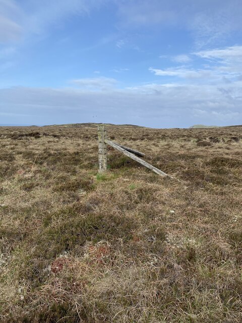
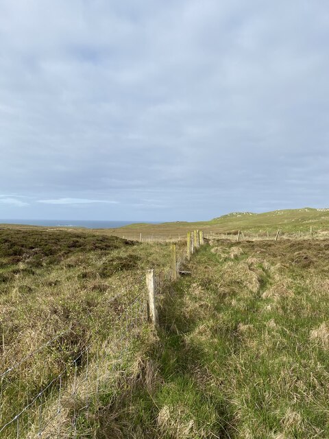
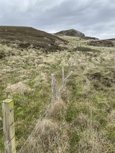
Access to Rubha nan Sgarbh is relatively easy, with a coastal path leading visitors to the headland. The path offers stunning panoramic views of the surrounding coastline and the nearby islands of Islay and Jura.
Overall, Rubha nan Sgarbh is a must-visit destination for nature enthusiasts, birdwatchers, and those seeking a peaceful retreat amidst Scotland's rugged coastal beauty.
If you have any feedback on the listing, please let us know in the comments section below.
Rubha nan Sgarbh Images
Images are sourced within 2km of 55.733745/-6.49786 or Grid Reference NR1758. Thanks to Geograph Open Source API. All images are credited.


Rubha nan Sgarbh is located at Grid Ref: NR1758 (Lat: 55.733745, Lng: -6.49786)
Unitary Authority: Argyll and Bute
Police Authority: Argyll and West Dunbartonshire
What 3 Words
///used.nation.beauty. Near Portnahaven, Argyll & Bute
Nearby Locations
Related Wikis

Rinns of Islay
The Rinns of Islay (Scottish Gaelic: Na Roinn Ìleach; alternative English spelling Rhinns of Islay) is an area on the west of the island of Islay in the...

RAF Kilchiaran
RAF Kilchiaran was a Royal Air Force radar station situated on the Isle of Islay in Scotland. It was originally active from 1940-1945. In 1954 the base...

Islay LIMPET
Islay LIMPET was the world's first commercial wave power device and was connected to the United Kingdom's National Grid. == History == Islay LIMPET (Land...

Easter Ellister
Easter Ellister (Aolastradh) is a settlement on the Rinns of Islay on Islay in the Inner Hebrides of Scotland. It lies just off the A847 road between Portnahaven...

Nerabus
Nerabus (otherwise Nereabolls) is a hamlet in the west of the isle of Islay in Scotland. The vicinity is noted for its scenic qualities and diverse birdlife...

Portnahaven
Portnahaven (Scottish Gaelic: Port na h-Abhainne, meaning river port) is a village on Islay in the Inner Hebrides, Scotland. The village is within the...

Eilean Mhic Coinnich
Eilean Mhic Coinnich, also known as Mackenzie Island (although recorded on the Land Register as McKenseys Island), is an uninhabited island of 17.3 hectares...

Kilchoman
Kilchoman ( kil-(K)HOM-ən; Scottish Gaelic: Cill Chomain [kʲʰiːʎ ˈxɔmɛɲ]) is a small settlement and large parish on the Scottish island of Islay, within...
Have you been to Rubha nan Sgarbh?
Leave your review of Rubha nan Sgarbh below (or comments, questions and feedback).