A' Mheallairt

Coastal Feature, Headland, Point in Inverness-shire

Scotland

A' Mheallairt

Eilean na Hoe
Eilean na Hoe Credit: Toby Speight

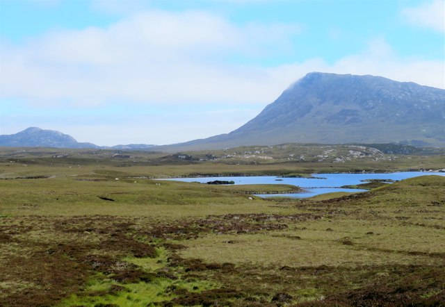
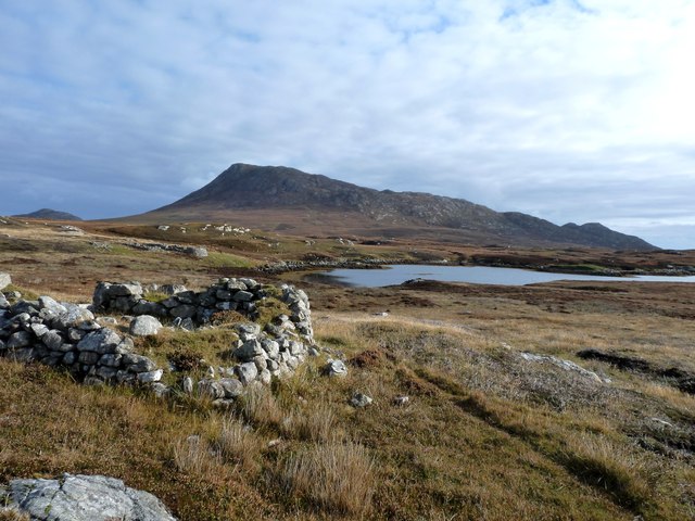
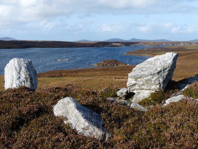
A' Mheallairt is a prominent headland located in Inverness-shire, Scotland. Situated along the rugged coastline, it is a well-known coastal feature that has captivated visitors for centuries. The headland juts out into the North Sea, offering breathtaking views of the surrounding landscape.

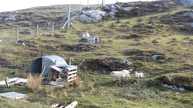
Characterized by its sheer cliffs and rocky terrain, A' Mheallairt is a popular destination for hikers and nature enthusiasts. The headland is covered in lush vegetation, including heather, grasses, and wildflowers, creating a vibrant and picturesque scene.

At the tip of A' Mheallairt, a dramatic sea stack known as The Needle stands tall, adding to the awe-inspiring beauty of the headland. This striking rock formation has been shaped by the relentless power of the waves over thousands of years.

The headland is also home to a diverse array of wildlife, making it a haven for birdwatchers and nature photographers. Visitors can spot various seabirds soaring above the cliffs, including gannets, puffins, and guillemots. Seals and dolphins can also be occasionally seen swimming in the surrounding waters.

Due to its exposed location, A' Mheallairt can experience strong winds and rough seas, adding an element of adventure and excitement for those who brave the elements to visit. However, caution is advised, as the cliffs can be dangerous and slippery.

Overall, A' Mheallairt is a captivating coastal feature in Inverness-shire, offering stunning views, diverse wildlife, and an exhilarating experience for nature lovers and outdoor enthusiasts alike.

If you have any feedback on the listing, please let us know in the comments section below.

A' Mheallairt Images

Images are sourced within 2km of 57.509842/-7.2289821 or Grid Reference NF8658. Thanks to Geograph Open Source API. All images are credited.
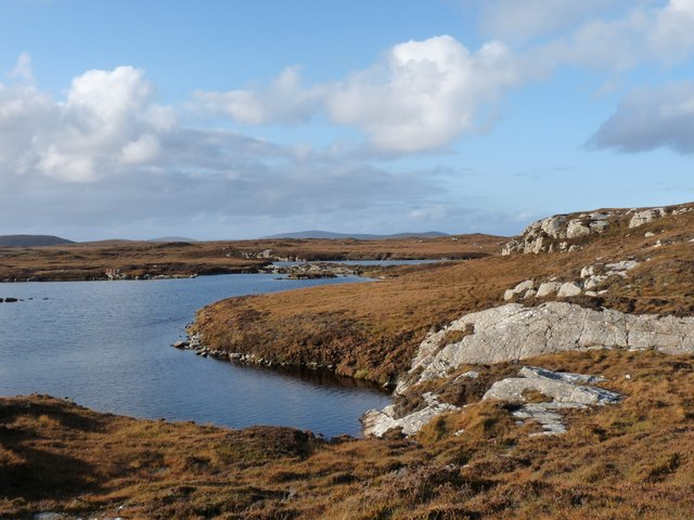
Eilean na Hoe
Eilean na Hoe
Eilean Buidhe
Eilean Buidhe
Gearraidh Dubh Looking over the shore near Gearraidh Dubh towards Eabhal.
Gearraidh Dubh
Looking over the shore near Gearraidh Dubh towards Eabhal.
Loch na Faoileag Shoreline A view along the shoreline to north west finger on Loch na Faoileag (Isle of Grimsay) .Taken on the opposite bank from the roadside.
Loch na Faoileag Shoreline
A view along the shoreline to north west finger on Loch na Faoileag (Isle of Grimsay) .Taken on the opposite bank from the roadside.
Near Gearraidh Dubh
Near Gearraidh Dubh
Barp Hacklett Cairn One cannot be absolutely sure if this is the cairn as the OS map doesn't give a detailed site, but as it is the only pile of stones on a green protuberance on an otherwise rather squelchy moor, then one would suggest that this is it.
Barp Hacklett Cairn
One cannot be absolutely sure if this is the cairn as the OS map doesn't give a detailed site, but as it is the only pile of stones on a green protuberance on an otherwise rather squelchy moor, then one would suggest that this is it.
View towards Loch nan Garbh Chlachan Peat and heather moorland stretch away towards the shores of Loch nan Garbh Chlachan where a line of stepping stones are visible, beyond which in an adjoining square is Dun Ban on an islet. Magnifying the image brings up what looks like some remains of walls at the dun. In the distance is the familiar outline of Eabhal.
View towards Loch nan Garbh Chlachan
Peat and heather moorland stretch away towards the shores of Loch nan Garbh Chlachan where a line of stepping stones are visible, beyond which in an adjoining square is Dun Ban on an islet. Magnifying the image brings up what looks like some remains of walls at the dun. In the distance is the familiar outline of Eabhal.
Thatch at Cladach Chairinis
Isle of Ronay View towards North Uist
Isle of Ronay
View towards North Uist
Sandy inlet on the coast of Grimsay One of a maze of inlets and channels around Grimsay. This view is interesting as there are remains of old field walls [possibly iron age/centre picture] visible in the sand, indicating a lower sea level at some time. Cloud capped Eabhal rises in the distance.
Sandy inlet on the coast of Grimsay
One of a maze of inlets and channels around Grimsay. This view is interesting as there are remains of old field walls [possibly iron age/centre picture] visible in the sand, indicating a lower sea level at some time. Cloud capped Eabhal rises in the distance.
Gearadu: postbox № HS6 34 One of four postboxes on the island of Grimsay. Apart from the one on the main road close to the post office, they are emptied at 11:45am on weekdays and at 9:30am on Saturdays.
Gearadu: postbox № HS6 34
One of four postboxes on the island of Grimsay. Apart from the one on the main road close to the post office, they are emptied at 11:45am on weekdays and at 9:30am on Saturdays.
Airigh an Obain Sheilings with a view
Airigh an Obain
Sheilings with a view
South end of Loch Obasaraigh
Loch nan Gealag
Loch nan Gealag
Very rough grazing at Cladach Chairinis
Grimsay: Bàgh Tràight A bay on the north side of Grimsay, with a complicated shape with many inlets and promontories.
Grimsay: Bàgh Tràight
A bay on the north side of Grimsay, with a complicated shape with many inlets and promontories.
Bàgh Tràight A drying inlet on Grimsay's northern side.
Bàgh Tràight
A drying inlet on Grimsay's northern side.
Ewe and lamb, Gearraidh Dubh Grimsay farmland.
Ewe and lamb, Gearraidh Dubh
Grimsay farmland.
Show me another place!

A' Mheallairt is located at Grid Ref: NF8658 (Lat: 57.509842, Lng: -7.2289821)

Unitary Authority: Na h-Eileanan an Iar

Police Authority: Highlands and Islands

What 3 Words

///visa.cookie.flopped. Near Balivanich, Na h-Eileanan Siar

Related Wikis

Fraoch-Eilean

Fraoch-eilean is a small island with an uncertain population north of Benbecula in the Outer Hebrides of Scotland. It is about 55 hectares (140 acres...

Grimsay

Grimsay (Scottish Gaelic: Griomasaigh) is a tidal island in the Outer Hebrides of Scotland. == Geography == Grimsay is the largest of the low-lying stepping...

Baile Glas

Baile Glas or Ballaglasa (Scottish Gaelic: Am Baile Glas) is a settlement on Grimsay in the Outer Hebrides, Scotland. Ballaglasa is within the parish of...

Flodaigh

Flodaigh is a tidal island lying to the north of Benbecula and south of Grimsay in the Outer Hebrides, Scotland. It is connected to Benbecula by a causeway...

Have you been to A' Mheallairt?

Leave your review of A' Mheallairt below (or comments, questions and feedback).