Cailternis

Coastal Feature, Headland, Point in Inverness-shire

Scotland

Cailternis

Eilean na Hoe
Eilean na Hoe Credit: Toby Speight

Cailternis is a prominent coastal feature located in the county of Inverness-shire in Scotland. It is a headland and point that juts out into the North Sea, offering stunning views of the surrounding coastline.

The headland is characterized by rugged cliffs that rise sharply from the sea, reaching heights of up to 100 meters in some places. These cliffs are composed mainly of sedimentary rock, with layers of sandstone and limestone visible along the exposed faces.

Cailternis is known for its diverse wildlife, with several species of seabirds nesting in the cliffs, including guillemots, kittiwakes, and puffins. It is also a popular spot for birdwatching, as migratory birds often pass through the area during their journeys.

The headland is accessible via a coastal path that winds its way along the cliff edge, offering breathtaking views of the sea and surrounding countryside. There are also several small caves and rock formations that can be explored at low tide, adding to the adventurous nature of the area.

Cailternis is a popular destination for outdoor enthusiasts, with opportunities for hiking, photography, and wildlife spotting. The headland is surrounded by beautiful sandy beaches, providing a picturesque setting for picnics and relaxation.

Overall, Cailternis is a stunning coastal feature that offers visitors a chance to immerse themselves in the natural beauty of Inverness-shire's coastline. Its dramatic cliffs, diverse wildlife, and breathtaking views make it a must-visit destination for nature lovers and outdoor enthusiasts alike.

If you have any feedback on the listing, please let us know in the comments section below.

Cailternis Images

Images are sourced within 2km of 57.51118/-7.238136 or Grid Reference NF8658. Thanks to Geograph Open Source API. All images are credited.
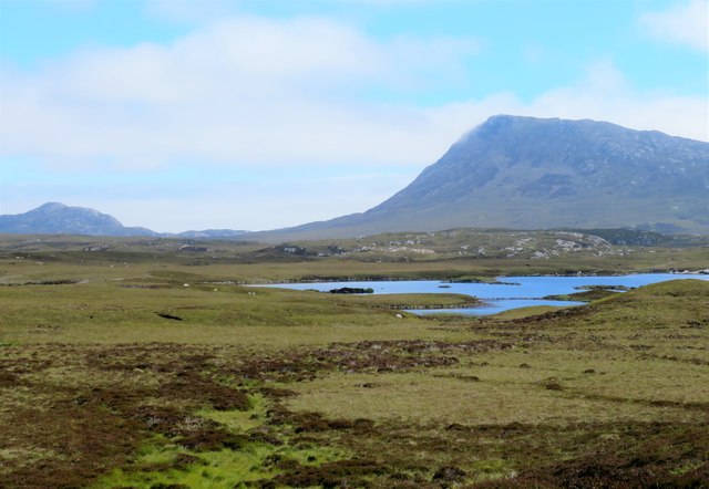
Eilean na Hoe
Eilean na Hoe
Eilean Buidhe
Eilean Buidhe
Ocean on the west side of the causeway to North Uist
Gearraidh Dubh Looking over the shore near Gearraidh Dubh towards Eabhal.
Gearraidh Dubh
Looking over the shore near Gearraidh Dubh towards Eabhal.
Near Gearraidh Dubh
Near Gearraidh Dubh
Gairbh-eilean
Gairbh-eilean
Barp Hacklett Cairn One cannot be absolutely sure if this is the cairn as the OS map doesn't give a detailed site, but as it is the only pile of stones on a green protuberance on an otherwise rather squelchy moor, then one would suggest that this is it.
Barp Hacklett Cairn
One cannot be absolutely sure if this is the cairn as the OS map doesn't give a detailed site, but as it is the only pile of stones on a green protuberance on an otherwise rather squelchy moor, then one would suggest that this is it.
Eilean an t-Seagail Seating located at a parking spot just off the A865 near Baile Glas on Benbecula.
Eilean an t-Seagail
Seating located at a parking spot just off the A865 near Baile Glas on Benbecula.
View towards Loch nan Garbh Chlachan Peat and heather moorland stretch away towards the shores of Loch nan Garbh Chlachan where a line of stepping stones are visible, beyond which in an adjoining square is Dun Ban on an islet. Magnifying the image brings up what looks like some remains of walls at the dun. In the distance is the familiar outline of Eabhal.
View towards Loch nan Garbh Chlachan
Peat and heather moorland stretch away towards the shores of Loch nan Garbh Chlachan where a line of stepping stones are visible, beyond which in an adjoining square is Dun Ban on an islet. Magnifying the image brings up what looks like some remains of walls at the dun. In the distance is the familiar outline of Eabhal.
Thatch at Cladach Chairinis
The summit region of Grimsay Grimsay is a low island between North Uist and Benbecula. It is difficult to be certain of its highest point, but this eminence, 25m or so above Mean Sea Level, is a good contender.
The summit region of Grimsay
Grimsay is a low island between North Uist and Benbecula. It is difficult to be certain of its highest point, but this eminence, 25m or so above Mean Sea Level, is a good contender.
Baile Glas, Grimsay Hamlet on the causewayed road between Benbecula and North Uist.
<span class="nowrap"><a title="http://www.isle-of-benbecula.co.uk/" rel="nofollow ugc noopener" href="http://www.isle-of-benbecula.co.uk/">Link</a><img style="margin-left:2px;" alt="External link" title="External link - shift click to open in new window" src="https://s1.geograph.org.uk/img/external.png" width="10" height="10"/></span>
Baile Glas, Grimsay
Hamlet on the causewayed road between Benbecula and North Uist. LinkExternal link
Sand Flats at Grimsay Tidal flats between Grimsay (foreground) and North Uist (background). Eaval / Eabhal is the distinctive mountain.
Sand Flats at Grimsay
Tidal flats between Grimsay (foreground) and North Uist (background). Eaval / Eabhal is the distinctive mountain.
Sandy inlet on the coast of Grimsay One of a maze of inlets and channels around Grimsay. This view is interesting as there are remains of old field walls [possibly iron age/centre picture] visible in the sand, indicating a lower sea level at some time. Cloud capped Eabhal rises in the distance.
Sandy inlet on the coast of Grimsay
One of a maze of inlets and channels around Grimsay. This view is interesting as there are remains of old field walls [possibly iron age/centre picture] visible in the sand, indicating a lower sea level at some time. Cloud capped Eabhal rises in the distance.
Gearadu: postbox № HS6 34 One of four postboxes on the island of Grimsay. Apart from the one on the main road close to the post office, they are emptied at 11:45am on weekdays and at 9:30am on Saturdays.
Gearadu: postbox № HS6 34
One of four postboxes on the island of Grimsay. Apart from the one on the main road close to the post office, they are emptied at 11:45am on weekdays and at 9:30am on Saturdays.
Airigh an Obain Sheilings with a view
Airigh an Obain
Sheilings with a view
Loch nan Gealag
Loch nan Gealag
Very rough grazing at Cladach Chairinis
Show me another place!

Cailternis is located at Grid Ref: NF8658 (Lat: 57.51118, Lng: -7.238136)

Unitary Authority: Na h-Eileanan an Iar

Police Authority: Highlands and Islands

What 3 Words

///strategy.streak.speakers. Near Balivanich, Na h-Eileanan Siar

Related Wikis

Fraoch-Eilean

Fraoch-eilean is a small island with an uncertain population north of Benbecula in the Outer Hebrides of Scotland. It is about 55 hectares (140 acres...

Baile Glas

Baile Glas or Ballaglasa (Scottish Gaelic: Am Baile Glas) is a settlement on Grimsay in the Outer Hebrides, Scotland. Ballaglasa is within the parish of...

Grimsay

Grimsay (Scottish Gaelic: Griomasaigh) is a tidal island in the Outer Hebrides of Scotland. == Geography == Grimsay is the largest of the low-lying stepping...

Flodaigh

Flodaigh is a tidal island lying to the north of Benbecula and south of Grimsay in the Outer Hebrides, Scotland. It is connected to Benbecula by a causeway...

Nearby Amenities

Located within 500m of 57.51118,-7.238136
The data included in this document is from www.openstreetmap.org. The data is made available under ODbL.

Have you been to Cailternis?

Leave your review of Cailternis below (or comments, questions and feedback).