Meanais
Coastal Feature, Headland, Point in Inverness-shire
Scotland
Meanais
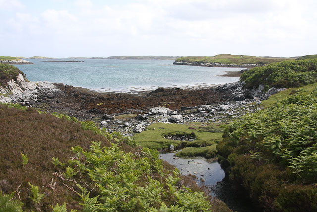
Meanais is a prominent coastal feature located in Inverness-shire, Scotland. Situated on the western coast of the Scottish Highlands, Meanais is a headland that juts out into the vast Atlantic Ocean. It is also commonly referred to as Meanais Point due to its distinctive shape and geographical significance.
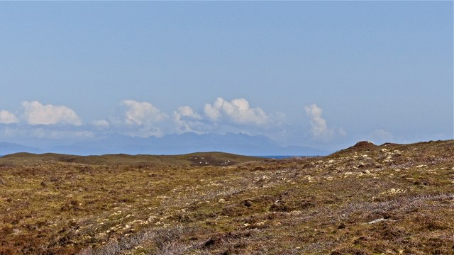
The headland offers breathtaking panoramic views of the surrounding landscape, characterized by rugged cliffs, dramatic sea stacks, and sparkling turquoise waters. The area is a haven for wildlife enthusiasts, as it is home to a diverse range of seabirds, including puffins, razorbills, and guillemots. Visitors can often spot seals basking on the rocky shores, adding to the natural beauty of the place.
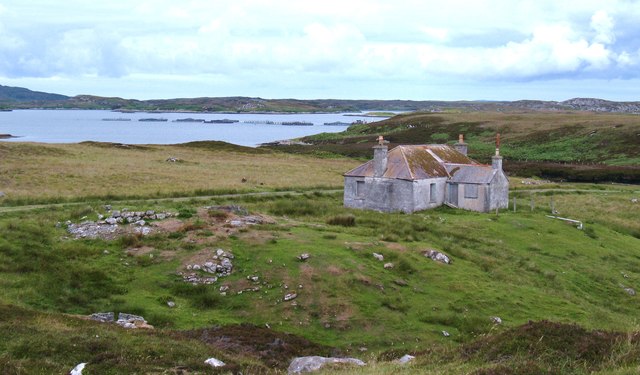
Meanais boasts a rich history, with evidence of human activity dating back thousands of years. The headland is dotted with ancient remains such as standing stones and burial cairns, providing insights into the lives of early inhabitants. These archaeological sites contribute to the area's cultural significance and make it an intriguing destination for history enthusiasts.
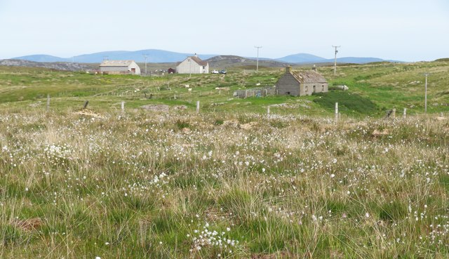
Outdoor enthusiasts will find plenty of opportunities for exploration and adventure at Meanais. The headland is a popular destination for hikers, who can traverse the coastal trails and experience the stunning coastal scenery up close. The area is also well-suited for birdwatching, fishing, and photography, offering a peaceful retreat from the hustle and bustle of everyday life.
Meanais is a captivating coastal feature that combines natural beauty, cultural heritage, and outdoor recreation. Whether visitors are interested in wildlife, history, or simply seeking a tranquil escape, Meanais provides a truly memorable experience on the rugged western coast of Scotland.
If you have any feedback on the listing, please let us know in the comments section below.
Meanais Images
Images are sourced within 2km of 57.446667/-7.2278339 or Grid Reference NF8651. Thanks to Geograph Open Source API. All images are credited.
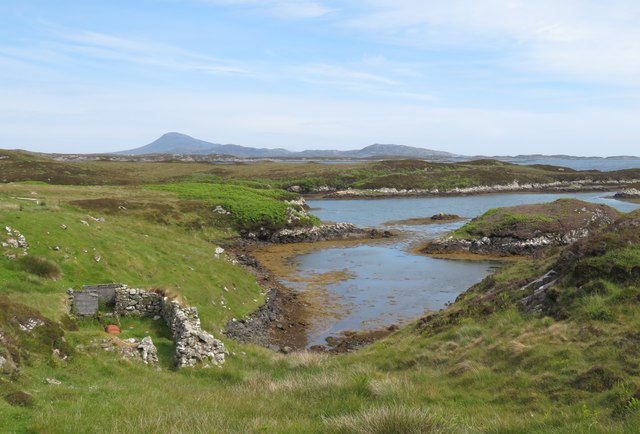
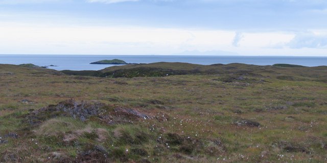
![On the shores of Loch Uiseabhagh Little visited [except by sheep] stretch of coastline in a remote corner of Benbecula.](https://s1.geograph.org.uk/geophotos/03/06/16/3061625_01f513f0.jpg)
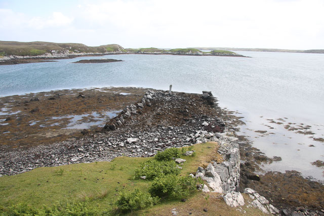
![Offshore skerry near Uiseabhagh The view offshore from a remote stretch of the Benbecula coastline. The skerry is unnamed on the map, whilst the coastline of Skye is visible in the distance [right].](https://s1.geograph.org.uk/geophotos/03/06/16/3061637_f08c3474.jpg)


Meanais is located at Grid Ref: NF8651 (Lat: 57.446667, Lng: -7.2278339)
Unitary Authority: Na h-Eileanan an Iar
Police Authority: Highlands and Islands
What 3 Words
///dwell.essays.freezing. Near Balivanich, Na h-Eileanan Siar
Nearby Locations
Related Wikis

Eileanan Chearabhaigh
Eileanan Chearabhaigh is a collection of small uninhabited tidal islands off the south east coast of Benbecula in the Outer Hebrides of Scotland. The English...

Flodaigh
Flodaigh is a tidal island lying to the north of Benbecula and south of Grimsay in the Outer Hebrides, Scotland. It is connected to Benbecula by a causeway...

Ronay
Ronay (Scottish Gaelic: Rònaigh) is an island in the Outer Hebrides of Scotland, which lies a short distance off the east coast of Grimsay. == Geography... ==

Grimsay
Grimsay (Scottish Gaelic: Griomasaigh) is a tidal island in the Outer Hebrides of Scotland. == Geography == Grimsay is the largest of the low-lying stepping...
Nearby Amenities
Located within 500m of 57.446667,-7.2278339Have you been to Meanais?
Leave your review of Meanais below (or comments, questions and feedback).