Seana Bhaile

Settlement in Inverness-shire

Scotland

Seana Bhaile
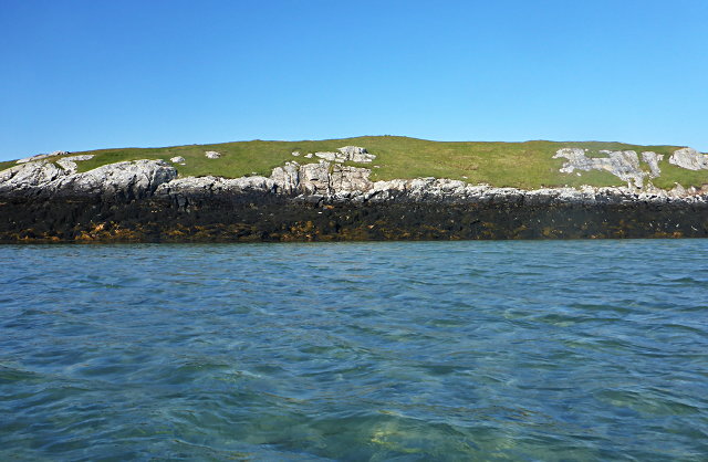
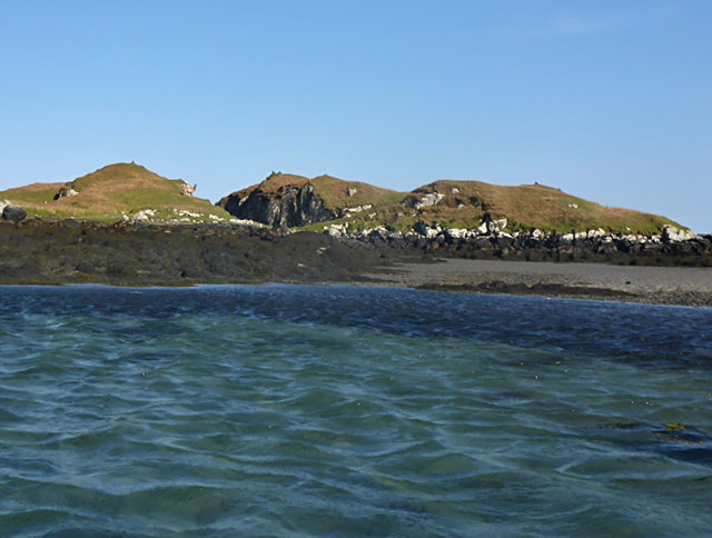
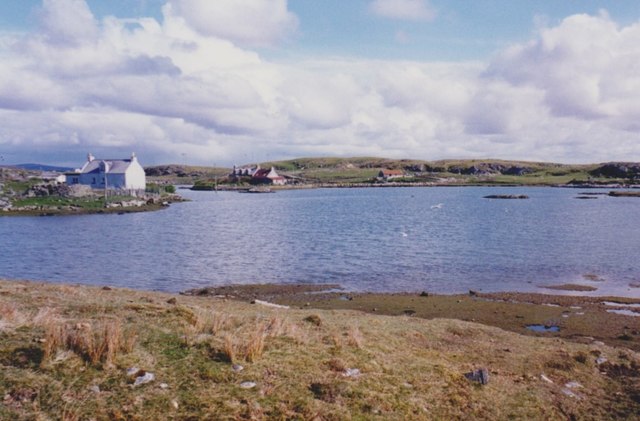
Eilean na Hoe
Eilean na Hoe Credit: Toby Speight

Seana Bhaile is a small rural village located in the Inverness-shire region of Scotland. Situated approximately 10 miles west of the city of Inverness, it lies on the northern banks of the River Ness. The village is surrounded by stunning natural landscapes, with rolling hills and picturesque views of the Scottish Highlands.

Seana Bhaile is known for its tranquility and peaceful atmosphere, making it a popular destination for those seeking a retreat from city life. The village is characterized by its charming traditional Scottish architecture, with stone cottages and thatched roofs adding to its rustic charm.

Despite its small size, Seana Bhaile offers a range of amenities for its residents and visitors. There is a local grocery store, a post office, and a few small businesses that cater to the needs of the community. Additionally, there are several walking trails and outdoor recreational areas nearby, making it an ideal location for nature enthusiasts.

The village is also known for its strong sense of community, with regular social events and gatherings taking place throughout the year. The locals take pride in preserving their traditions and heritage, and there are often traditional Scottish music and dance performances held in the village hall.

Overall, Seana Bhaile is a charming rural village that offers a peaceful escape into the beauty of the Scottish countryside. With its stunning natural landscapes and strong sense of community, it is a delightful place to visit or call home.

If you have any feedback on the listing, please let us know in the comments section below.

Seana Bhaile Images

Images are sourced within 2km of 57.503369/-7.2396551 or Grid Reference NF8658. Thanks to Geograph Open Source API. All images are credited.
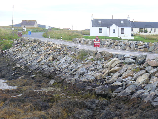
Eilean na Hoe
Eilean na Hoe
Eilean Buidhe
Eilean Buidhe
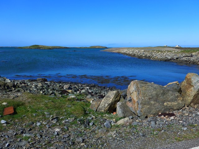
Ocean on the west side of the causeway to North Uist
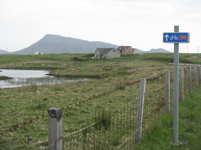
NCN780 on Grimsay Looking east, Loch an Fhaing on the left and Eaval, North Uist, in the distance.
NCN780 on Grimsay
Looking east, Loch an Fhaing on the left and Eaval, North Uist, in the distance.
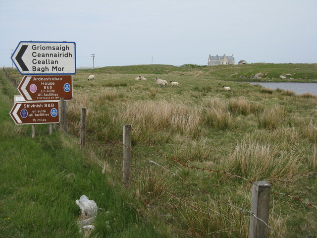
Signpost on Grimsay The house beyond the end of Loch an Fhaing is marked as a Post Office on the map, but the may not be up to date information.
Signpost on Grimsay
The house beyond the end of Loch an Fhaing is marked as a Post Office on the map, but the may not be up to date information.
Bus stop and post box on Grimsay At the road-end of a loop that leaves the main road [A865].
Bus stop and post box on Grimsay
At the road-end of a loop that leaves the main road [A865].
Gearraidh Dubh Looking over the shore near Gearraidh Dubh towards Eabhal.
Gearraidh Dubh
Looking over the shore near Gearraidh Dubh towards Eabhal.
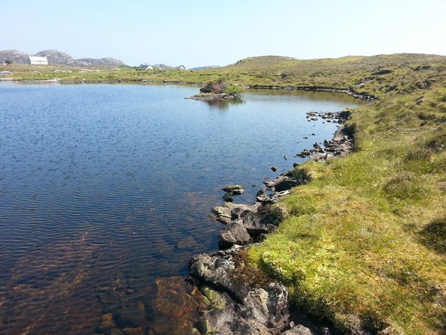
Loch na Faoileag on Grimsay One of many small islets on Loch na Faoileag on the Isle of Grimsay
Loch na Faoileag on Grimsay
One of many small islets on Loch na Faoileag on the Isle of Grimsay
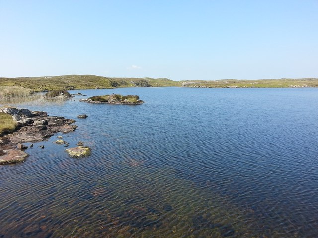
Loch na Faoileag Shoreline A view along the shoreline to north west finger on Loch na Faoileag (Isle of Grimsay) .Taken on the opposite bank from the roadside.
Loch na Faoileag Shoreline
A view along the shoreline to north west finger on Loch na Faoileag (Isle of Grimsay) .Taken on the opposite bank from the roadside.
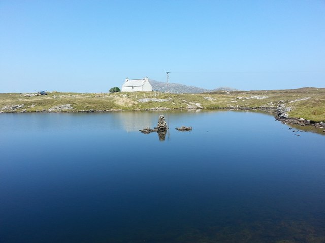
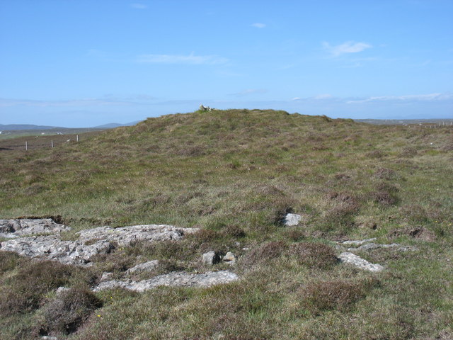
Loch na Faoileag Cairn A small cairn situated at the south-eastern end of Loch na Faoileag.
Loch na Faoileag Cairn
A small cairn situated at the south-eastern end of Loch na Faoileag.
Near Gearraidh Dubh
Near Gearraidh Dubh
Gairbh-eilean
Gairbh-eilean
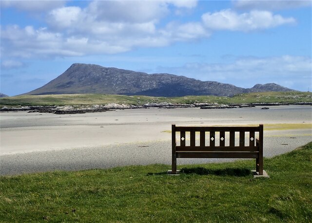
Eilean an t-Seagail Seating located at a parking spot just off the A865 near Baile Glas on Benbecula.
Eilean an t-Seagail
Seating located at a parking spot just off the A865 near Baile Glas on Benbecula.
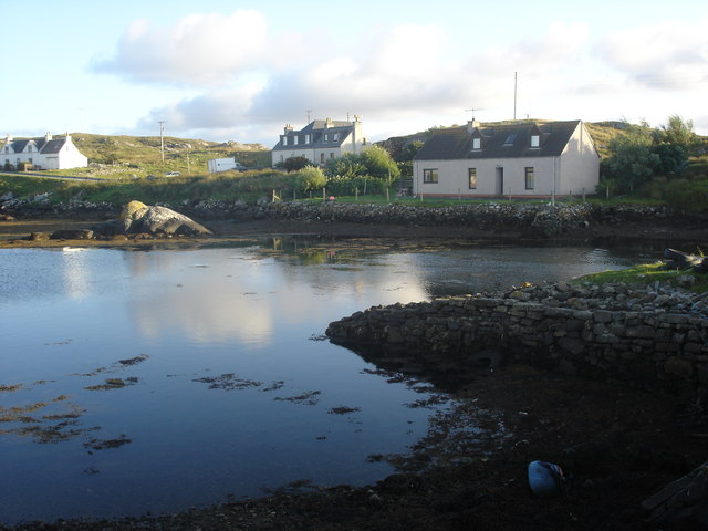
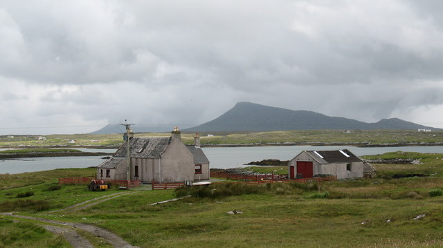
Old harbour, Grimsay A crofthouse sitting on a reclaimed piece of land at Baymore (Bagh mor) which was the main harbour on the island before the Kallin (Ceallan) development.  The harbour is littered with lots of old creels and other flotsam and there are many old stone piers.
Old harbour, Grimsay
A crofthouse sitting on a reclaimed piece of land at Baymore (Bagh mor) which was the main harbour on the island before the Kallin (Ceallan) development. The harbour is littered with lots of old creels and other flotsam and there are many old stone piers.
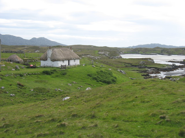
Thatch at Cladach Chairinis
The summit region of Grimsay Grimsay is a low island between North Uist and Benbecula. It is difficult to be certain of its highest point, but this eminence, 25m or so above Mean Sea Level, is a good contender.
The summit region of Grimsay
Grimsay is a low island between North Uist and Benbecula. It is difficult to be certain of its highest point, but this eminence, 25m or so above Mean Sea Level, is a good contender.
Baile Glas, Grimsay Hamlet on the causewayed road between Benbecula and North Uist.
<span class="nowrap"><a title="http://www.isle-of-benbecula.co.uk/" rel="nofollow ugc noopener" href="http://www.isle-of-benbecula.co.uk/">Link</a><img style="margin-left:2px;" alt="External link" title="External link - shift click to open in new window" src="https://s1.geograph.org.uk/img/external.png" width="10" height="10"/></span>
Baile Glas, Grimsay
Hamlet on the causewayed road between Benbecula and North Uist. LinkExternal link
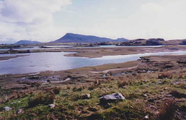
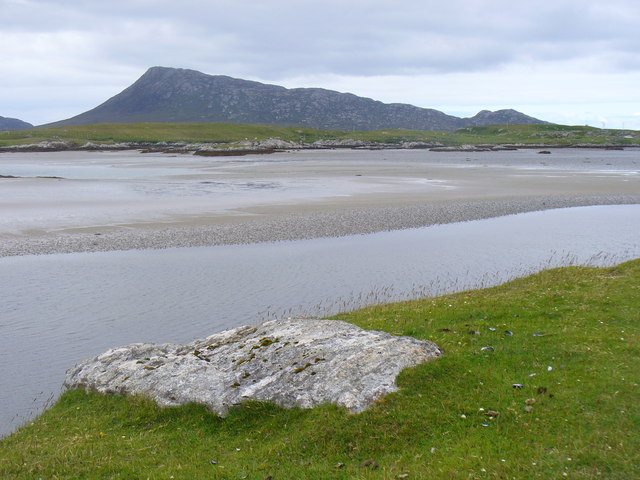
Sand Flats at Grimsay Tidal flats between Grimsay (foreground) and North Uist (background). Eaval / Eabhal is the distinctive mountain.
Sand Flats at Grimsay
Tidal flats between Grimsay (foreground) and North Uist (background). Eaval / Eabhal is the distinctive mountain.
Show me another place!

Seana Bhaile is located at Grid Ref: NF8658 (Lat: 57.503369, Lng: -7.2396551)

Unitary Authority: Na h-Eileanan an Iar

Police Authority: Highlands and Islands

What 3 Words

///proposals.smiles.emotional. Near Balivanich, Na h-Eileanan Siar

Related Wikis

Fraoch-Eilean

Fraoch-eilean is a small island with an uncertain population north of Benbecula in the Outer Hebrides of Scotland. It is about 55 hectares (140 acres...

Grimsay

Grimsay (Scottish Gaelic: Griomasaigh) is a tidal island in the Outer Hebrides of Scotland. == Geography == Grimsay is the largest of the low-lying stepping...

Baile Glas

Baile Glas or Ballaglasa (Scottish Gaelic: Am Baile Glas) is a settlement on Grimsay in the Outer Hebrides, Scotland. Ballaglasa is within the parish of...

Flodaigh

Flodaigh is a tidal island lying to the north of Benbecula and south of Grimsay in the Outer Hebrides, Scotland. It is connected to Benbecula by a causeway...

Nearby Amenities

Located within 500m of 57.503369,-7.2396551
Seana Bhaile
Name En: Seanabaily
Name Gd: Seana Bhaile
Place: hamlet
Population: 10
Lat/Long: 57.5045439/-7.242031
Barrier: cattle_grid
Lat/Long: 57.5023282/-7.2454972
Passing Place
Lat/Long: 57.5013509/-7.2440048
Bagh Traight
Natural: bay
Lat/Long: 57.4990917/-7.240516
Power: pole
Lat/Long: 57.5058228/-7.2465
Power: pole
Lat/Long: 57.5053207/-7.2463229
Power: pole
Lat/Long: 57.5048876/-7.246162
Power: pole
Lat/Long: 57.5049755/-7.2464315
Power: pole
Lat/Long: 57.5040591/-7.2460561
Power: pole
Lat/Long: 57.5036887/-7.2462773
Power: pole
Lat/Long: 57.5029026/-7.2467065
Power: pole
Lat/Long: 57.5040158/-7.2458401
Power: pole
Lat/Long: 57.5035367/-7.2461311
Power: pole
Lat/Long: 57.50276/-7.2465871
Power: pole
Lat/Long: 57.5023688/-7.2468486
Power: pole
Lat/Long: 57.5020762/-7.247542
Power: pole
Lat/Long: 57.503462/-7.24033
Power: pole
Lat/Long: 57.5033503/-7.2416799
Power: pole
Lat/Long: 57.5032169/-7.2430764
Power: pole
Lat/Long: 57.503041/-7.2451252
Barrier: cattle_grid
Lat/Long: 57.5028524/-7.2367816
Height: 6
Man Made: tower
Tower Construction: mast
Tower Type: communication
Lat/Long: 57.5032255/-7.2446317
Power: pole
Lat/Long: 57.5005106/-7.245268
Power: pole
Lat/Long: 57.5006937/-7.2451527
Power: pole
Lat/Long: 57.5009545/-7.2449415
The data included in this document is from www.openstreetmap.org. The data is made available under ODbL.

Have you been to Seana Bhaile?

Leave your review of Seana Bhaile below (or comments, questions and feedback).