Ruadh-bhruthach

Coastal Feature, Headland, Point in Inverness-shire

Scotland

Ruadh-bhruthach

Flodda causeway
Flodda causeway Credit: Catherine Morgan

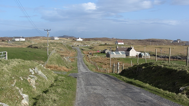
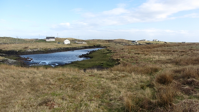
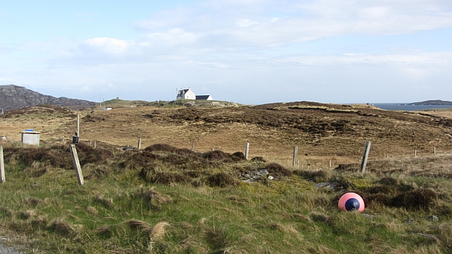
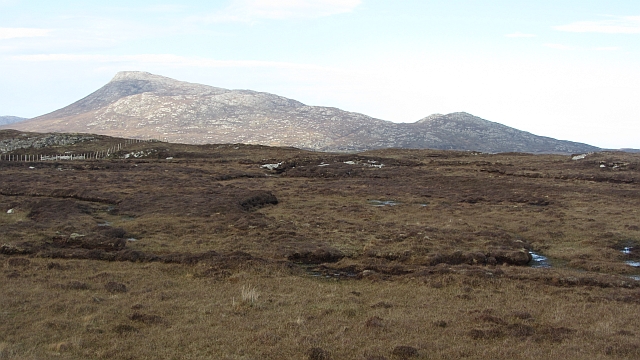
Ruadh-bhruthach is a striking coastal feature located in Inverness-shire, Scotland. This headland, also referred to as a point, is a prominent geological formation that juts out into the North Atlantic Ocean. With its awe-inspiring cliffs and breathtaking panoramic views, Ruadh-bhruthach is a popular destination for nature enthusiasts and photographers alike.

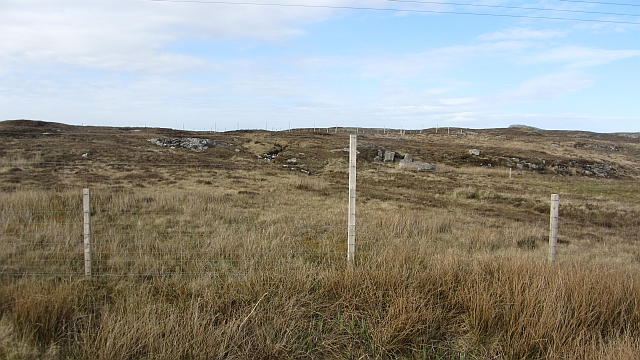
This coastal feature is characterized by its rugged and dramatic landscape. The headland rises steeply from the sea, reaching impressive heights that provide a vantage point to observe the surrounding coastal scenery. The cliffs are composed of ancient rock formations, displaying layers of sedimentary rocks that have been shaped by thousands of years of erosion from wind and waves. These geological formations are not only visually stunning but also serve as a habitat for various seabird species, including gannets, kittiwakes, and razorbills.

Ruadh-bhruthach is accessible to visitors via a well-maintained footpath that leads to the headland. The path offers an opportunity to explore the diverse flora and fauna of the area, including heather, wildflowers, and various grasses. Along the way, visitors may encounter grazing sheep, adding to the picturesque charm of the landscape.

The coastal feature is a popular spot for coastal walks, birdwatching, and photography. Its strategic location provides sweeping views of the ocean, nearby islands, and the surrounding coastline. Sunset and sunrise vistas from Ruadh-bhruthach are particularly breathtaking, attracting photographers seeking to capture the natural beauty of the area.

Overall, Ruadh-bhruthach in Inverness-shire is a captivating coastal feature that offers a unique blend of geological wonders and scenic beauty. Its rugged cliffs, diverse wildlife, and stunning views make it a must-visit destination for anyone exploring the Scottish coastline.

If you have any feedback on the listing, please let us know in the comments section below.

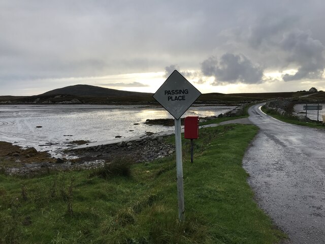
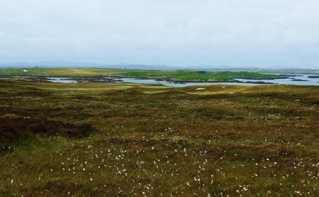
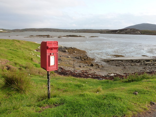
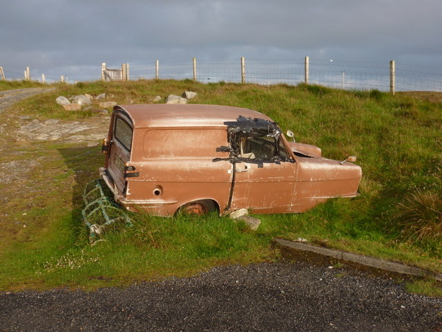
Ruadh-bhruthach Images

Images are sourced within 2km of 57.479538/-7.2434001 or Grid Reference NF8555. Thanks to Geograph Open Source API. All images are credited.

Flodda causeway
Flodda causeway
Loch na Faoileag on Grimsay One of many small islets on Loch na Faoileag on the Isle of Grimsay
Loch na Faoileag on Grimsay
One of many small islets on Loch na Faoileag on the Isle of Grimsay
Loch na Faoileag Shoreline A view along the shoreline to north west finger on Loch na Faoileag (Isle of Grimsay) .Taken on the opposite bank from the roadside.
Loch na Faoileag Shoreline
A view along the shoreline to north west finger on Loch na Faoileag (Isle of Grimsay) .Taken on the opposite bank from the roadside.
Loch na Faoileag Cairn A small cairn situated at the south-eastern end of Loch na Faoileag.
Loch na Faoileag Cairn
A small cairn situated at the south-eastern end of Loch na Faoileag.
Bog cotton and moorland to sea loch Oban Uaine Houses on Grimsay may just be seen in the distance.
Bog cotton and moorland to sea loch Oban Uaine
Houses on Grimsay may just be seen in the distance.
Bagh Sgotbheinn Not all Hebridean buildings fall into disrepair. I note that Dave Fergusson's 2007 photograph includes this small building, but now, twelve years later it has a new roof and is looking well cared for.
Bagh Sgotbheinn
Not all Hebridean buildings fall into disrepair. I note that Dave Fergusson's 2007 photograph includes this small building, but now, twelve years later it has a new roof and is looking well cared for.
Old harbour, Grimsay A crofthouse sitting on a reclaimed piece of land at Baymore (Bagh mor) which was the main harbour on the island before the Kallin (Ceallan) development.  The harbour is littered with lots of old creels and other flotsam and there are many old stone piers.
Old harbour, Grimsay
A crofthouse sitting on a reclaimed piece of land at Baymore (Bagh mor) which was the main harbour on the island before the Kallin (Ceallan) development. The harbour is littered with lots of old creels and other flotsam and there are many old stone piers.
The summit region of Grimsay Grimsay is a low island between North Uist and Benbecula. It is difficult to be certain of its highest point, but this eminence, 25m or so above Mean Sea Level, is a good contender.
The summit region of Grimsay
Grimsay is a low island between North Uist and Benbecula. It is difficult to be certain of its highest point, but this eminence, 25m or so above Mean Sea Level, is a good contender.
Baymore: postbox № HS6 15 One of four postboxes on the island of Grimsay. Apart from the one on the main road close to the post office, they are emptied at 11:45am on weekdays and at 9:30am on Saturdays.
Baymore: postbox № HS6 15
One of four postboxes on the island of Grimsay. Apart from the one on the main road close to the post office, they are emptied at 11:45am on weekdays and at 9:30am on Saturdays.
Kallin: postbox № HS6 25 One of four postboxes on the island of Grimsay. Apart from the one on the main road close to the post office, they are emptied at 11:45am on weekdays and at 9:30am on Saturdays.
Kallin: postbox № HS6 25
One of four postboxes on the island of Grimsay. Apart from the one on the main road close to the post office, they are emptied at 11:45am on weekdays and at 9:30am on Saturdays.
Island Flodda: postbox № HS7 79 A small postbox serving this small island, just off the coast of Benbecula - we look across the Flodda Sound (Caolas Fhlodaigh) between the two. The box is emptied at 11am on weekdays and at 8:30am on Saturdays.
Island Flodda: postbox № HS7 79
A small postbox serving this small island, just off the coast of Benbecula - we look across the Flodda Sound (Caolas Fhlodaigh) between the two. The box is emptied at 11am on weekdays and at 8:30am on Saturdays.
Island Flodda: a not-so-reliant An old three-wheeler has reached the end of the road - literally and figuratively.
Island Flodda: a not-so-reliant
An old three-wheeler has reached the end of the road - literally and figuratively.
Road on Grimsay A single track road links Kallin Harbour with the main Uists spine road.
Road on Grimsay
A single track road links Kallin Harbour with the main Uists spine road.
Loch, Rubha Dubh The road comes between this loch and the sea.
Loch, Rubha Dubh
The road comes between this loch and the sea.
Field, Ceannaraigh The highest ground on Grimsay is out there somewhere.
Field, Ceannaraigh
The highest ground on Grimsay is out there somewhere.
Inlet, Ceannaraigh An inlet of Bàgh Sgotbheinn, Grimsay.
Inlet, Ceannaraigh
An inlet of Bàgh Sgotbheinn, Grimsay.
Near Kallin Bog on Grimsay.
Near Kallin
Bog on Grimsay.
Bog, Grimsay Old peat workings.
Bog, Grimsay
Old peat workings.
Show me another place!

Ruadh-bhruthach is located at Grid Ref: NF8555 (Lat: 57.479538, Lng: -7.2434001)

Unitary Authority: Na h-Eileanan an Iar

Police Authority: Highlands and Islands

What 3 Words

///abundance.pounding.speared. Near Balivanich, Na h-Eileanan Siar

Related Wikis

Flodaigh

Flodaigh is a tidal island lying to the north of Benbecula and south of Grimsay in the Outer Hebrides, Scotland. It is connected to Benbecula by a causeway...

Grimsay

Grimsay (Scottish Gaelic: Griomasaigh) is a tidal island in the Outer Hebrides of Scotland. == Geography == Grimsay is the largest of the low-lying stepping...

Baile Glas

Baile Glas or Ballaglasa (Scottish Gaelic: Am Baile Glas) is a settlement on Grimsay in the Outer Hebrides, Scotland. Ballaglasa is within the parish of...

Fraoch-Eilean

Fraoch-eilean is a small island with an uncertain population north of Benbecula in the Outer Hebrides of Scotland. It is about 55 hectares (140 acres...

Nearby Amenities

Located within 500m of 57.479538,-7.2434001
Ruadh-bhruthach
Natural: cape
Lat/Long: 57.4794514/-7.2435991
Power: pole
Lat/Long: 57.4821918/-7.2455555
Power: pole
Lat/Long: 57.4822366/-7.2446262
Power: pole
Lat/Long: 57.4823911/-7.2428427
Power: pole
Lat/Long: 57.4822784/-7.2438419
Power: pole
Lat/Long: 57.4825167/-7.2418355
Power: pole
Lat/Long: 57.4820329/-7.2495358
Power: pole
Lat/Long: 57.4820499/-7.2489487
Power: pole
Lat/Long: 57.4821056/-7.2477746
Power: pole
Lat/Long: 57.4821725/-7.2467568
The data included in this document is from www.openstreetmap.org. The data is made available under ODbL.

Have you been to Ruadh-bhruthach?

Leave your review of Ruadh-bhruthach below (or comments, questions and feedback).