Rubha Caolas Liursaigh
Coastal Feature, Headland, Point in Inverness-shire
Scotland
Rubha Caolas Liursaigh
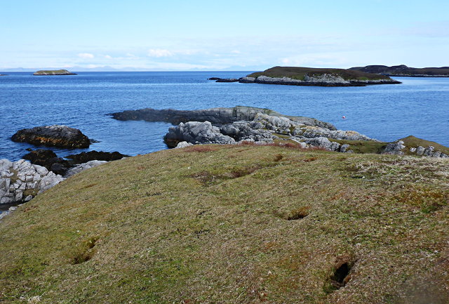
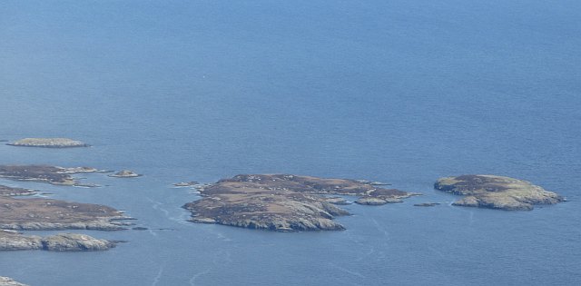
Rubha Caolas Liursaigh is a prominent coastal feature located in Inverness-shire, Scotland. It is a picturesque headland that extends into the North Atlantic Ocean, forming a distinctive point along the rugged coastline. The name Rubha Caolas Liursaigh is derived from Gaelic, with "rubha" meaning headland, "caolas" referring to a narrow strait, and "Liursaigh" being a personal name.
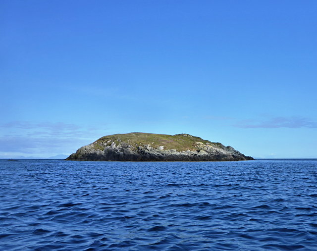
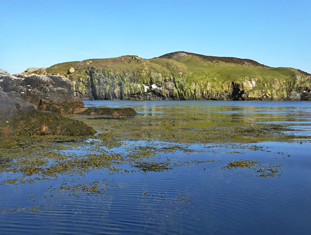
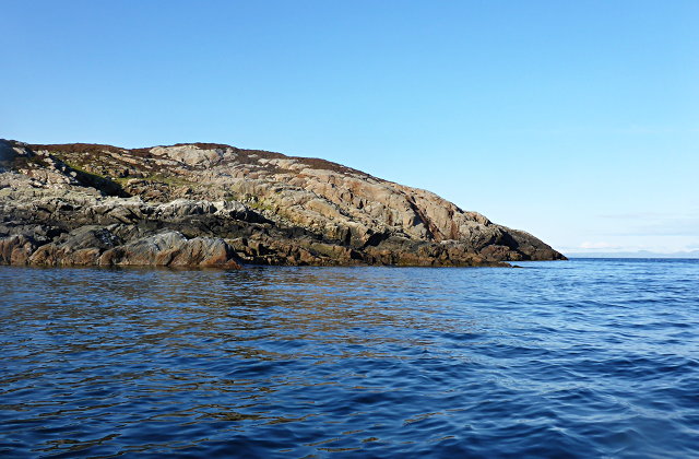
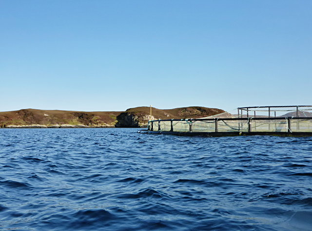
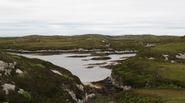
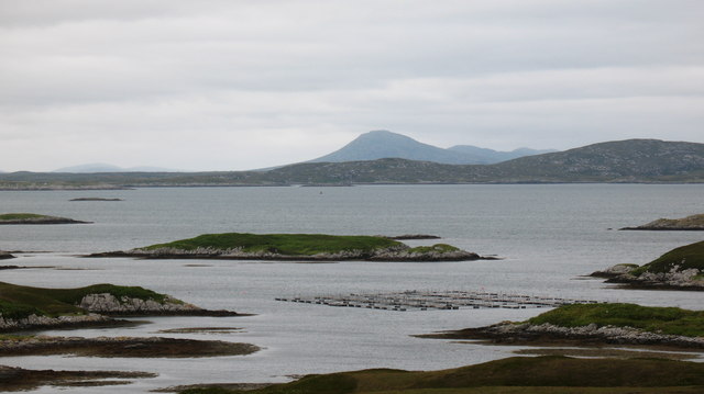
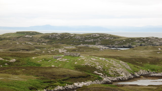
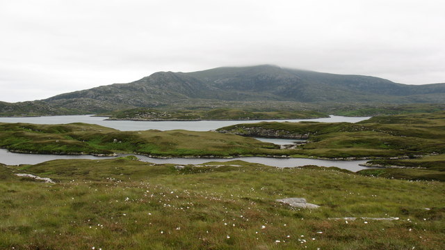
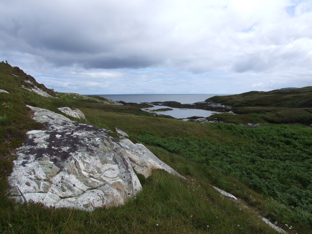
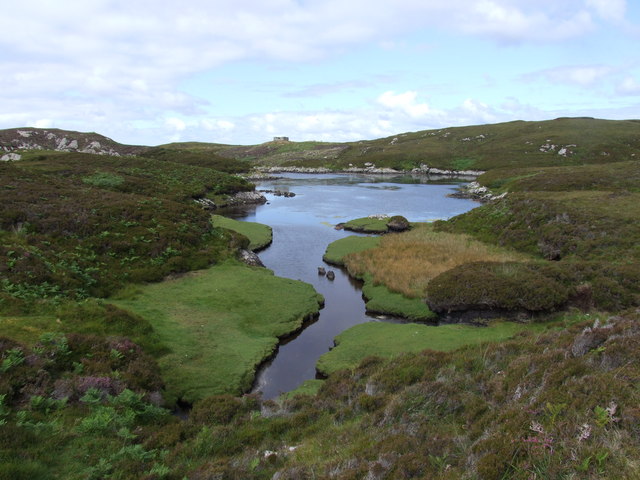
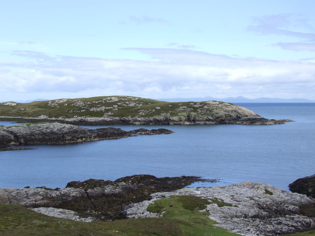
This headland is known for its breathtaking natural beauty, with dramatic cliffs rising from the sea and offering stunning panoramic views of the surrounding landscape. The rugged terrain of Rubha Caolas Liursaigh is characterized by rocky outcrops and lush vegetation, providing a diverse habitat for various plant and animal species.
The headland also holds historical significance, with evidence of human occupation dating back several centuries. Archaeological sites and ruins can be found in the vicinity, providing insight into the lives of past inhabitants. These artifacts and structures are a testament to the enduring human connection to this coastal area.
Rubha Caolas Liursaigh is a popular destination for outdoor enthusiasts, offering opportunities for hiking, birdwatching, and photography. The headland's proximity to the ocean makes it an ideal spot for observing marine wildlife, including seals and seabirds.
Overall, Rubha Caolas Liursaigh is a captivating coastal feature that showcases the natural beauty and rich history of Inverness-shire. Its striking landscape and diverse ecosystem make it a must-visit location for those seeking to immerse themselves in Scotland's coastal splendor.
If you have any feedback on the listing, please let us know in the comments section below.
Rubha Caolas Liursaigh Images
Images are sourced within 2km of 57.345905/-7.2273487 or Grid Reference NF8540. Thanks to Geograph Open Source API. All images are credited.
Rubha Caolas Liursaigh is located at Grid Ref: NF8540 (Lat: 57.345905, Lng: -7.2273487)
Unitary Authority: Na h-Eileanan an Iar
Police Authority: Highlands and Islands
What 3 Words
///waistcoat.partners.engulfing. Near Balivanich, Na h-Eileanan Siar
Nearby Locations
Related Wikis

Eilean na Cille
Eilean na Cille, south east of Benbecula is an island of the Outer Hebrides connected to Grimsay (South) by a causeway which carries the B891. The road...

Ushenish Lighthouse
The Ushenish Lighthouse is an active lighthouse located in South Uist, Outer Hebrides, Scotland. == History == Ushenish Lighthouse was designed by engineers...

Wiay, Outer Hebrides
Wiay (Scottish Gaelic: Bhuia or Fuidheigh) is an uninhabited island in the Outer Hebrides. It lies south-east of Benbecula and measures approximately...

Hecla (South Uist)
Hecla or Thacla is a mountain on the island of South Uist in the Outer Hebrides of Scotland. With a height of 606 metres (1,988 ft), it is the second-highest...
Have you been to Rubha Caolas Liursaigh?
Leave your review of Rubha Caolas Liursaigh below (or comments, questions and feedback).