Rubha na h-Oitireach
Coastal Feature, Headland, Point in Inverness-shire
Scotland
Rubha na h-Oitireach
The requested URL returned error: 429 Too Many Requests
If you have any feedback on the listing, please let us know in the comments section below.
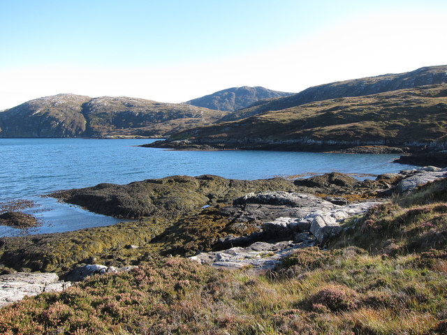
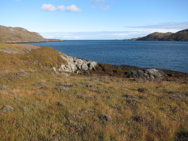
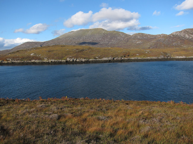
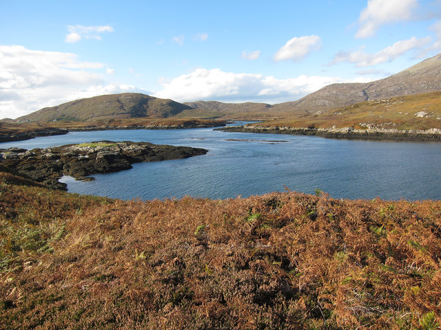
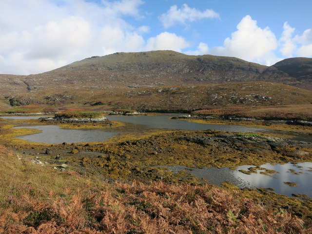
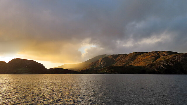
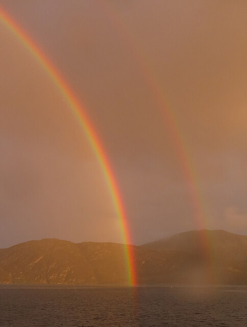
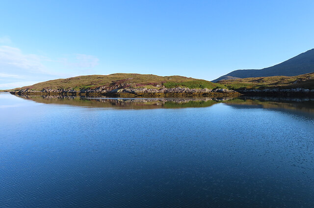
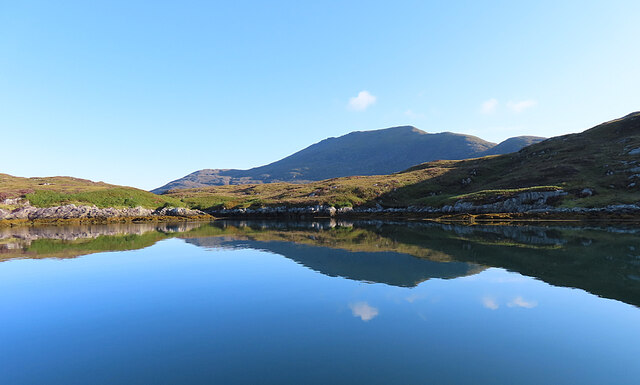
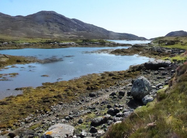
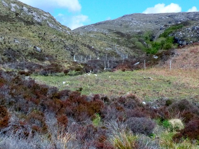
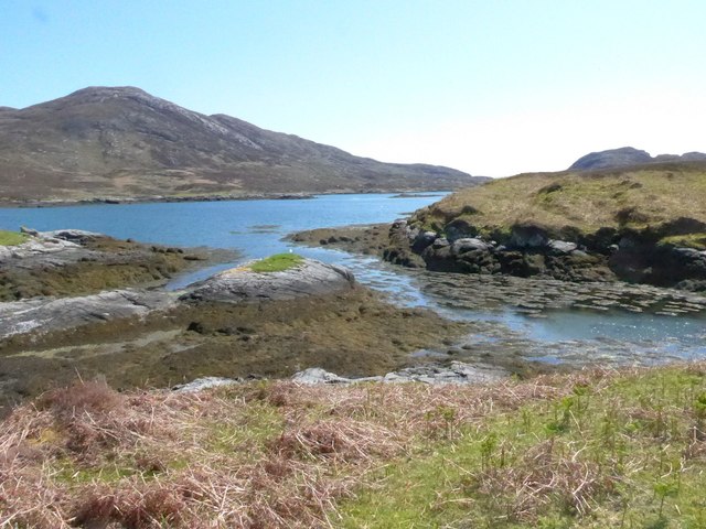
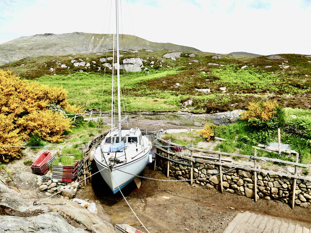
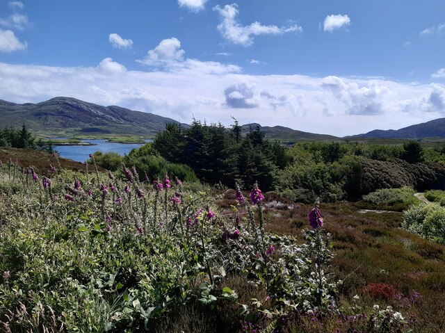
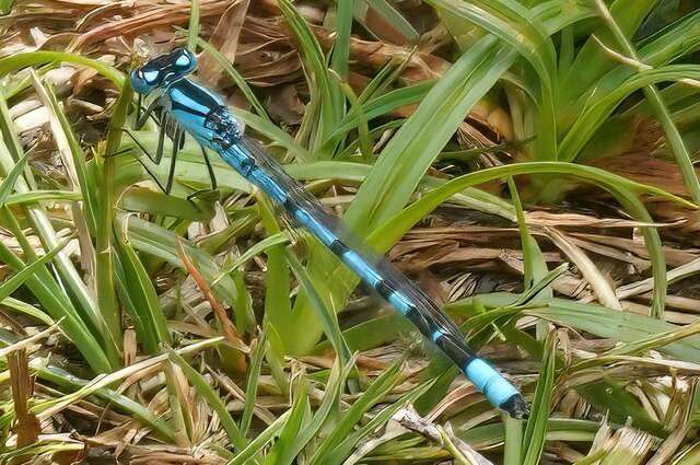
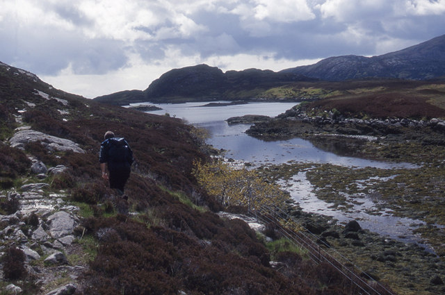
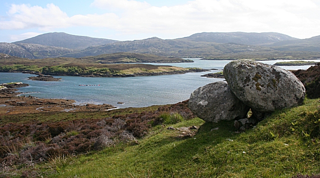
Rubha na h-Oitireach Images
Images are sourced within 2km of 57.232418/-7.3220002 or Grid Reference NF7828. Thanks to Geograph Open Source API. All images are credited.

Rubha na h-Oitireach is located at Grid Ref: NF7828 (Lat: 57.232418, Lng: -7.3220002)
Unitary Authority: Na h-Eileanan an Iar
Police Authority: Highlands and Islands
What 3 Words
///splice.smiles.opts. Near Lochboisdale, Na h-Eileanan Siar
Nearby Locations
Related Wikis

Beinn Mhòr (South Uist)
Beinn Mhòr is a mountain on the island of South Uist in the Outer Hebrides of Scotland. With a height of 620 metres (2,034 ft), it is the highest point...

South Uist
South Uist (Scottish Gaelic: Uibhist a Deas, [ˈɯ.ɪʃtʲ ə ˈtʲes̪] ; Scots: Sooth Uist) is the second-largest island of the Outer Hebrides in Scotland. At...

Milton (South Uist)
Milton (Scottish Gaelic: Geàrraidh Bhailteas) is the name of a tack or tenant farm on the island of South Uist in the Outer Hebrides, Scotland. It was...

Bornish
Bornish (Scottish Gaelic: Bòrnais) is a village and community council area on South Uist in the Outer Hebrides, Scotland. Bornish is also within the civil...
Nearby Amenities
Located within 500m of 57.232418,-7.3220002Have you been to Rubha na h-Oitireach?
Leave your review of Rubha na h-Oitireach below (or comments, questions and feedback).