Durinish
Coastal Feature, Headland, Point in Inverness-shire
Scotland
Durinish
The requested URL returned error: 429 Too Many Requests
If you have any feedback on the listing, please let us know in the comments section below.
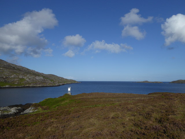
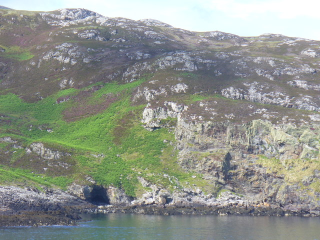
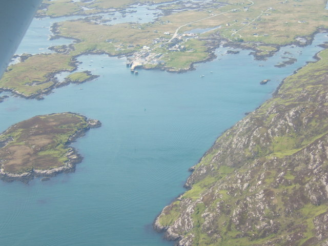
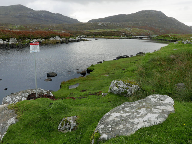
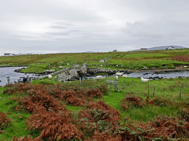
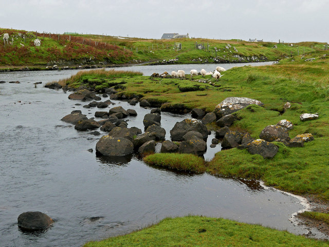
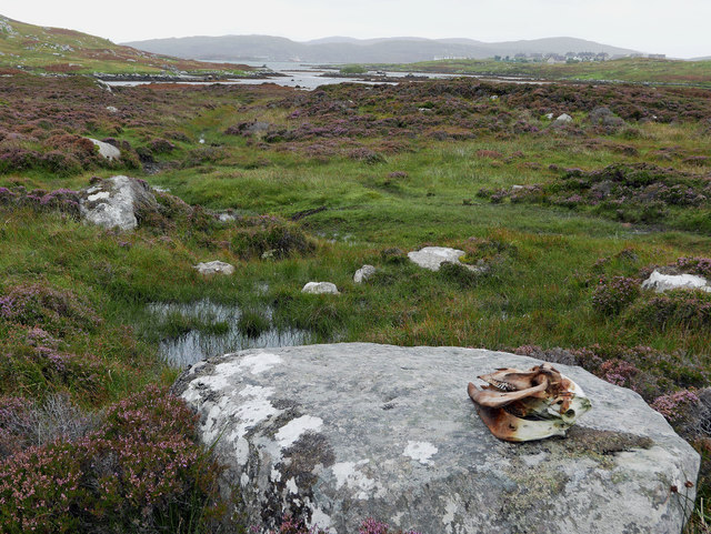
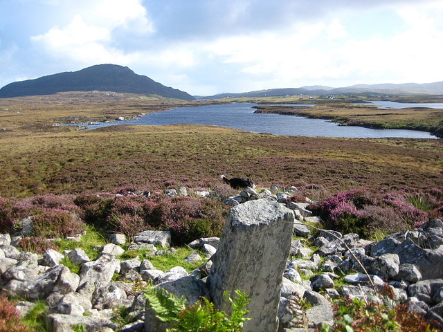
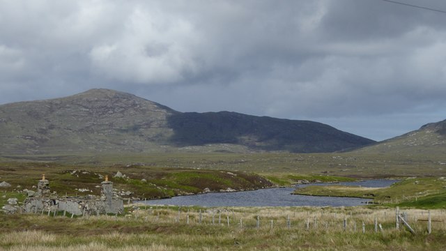
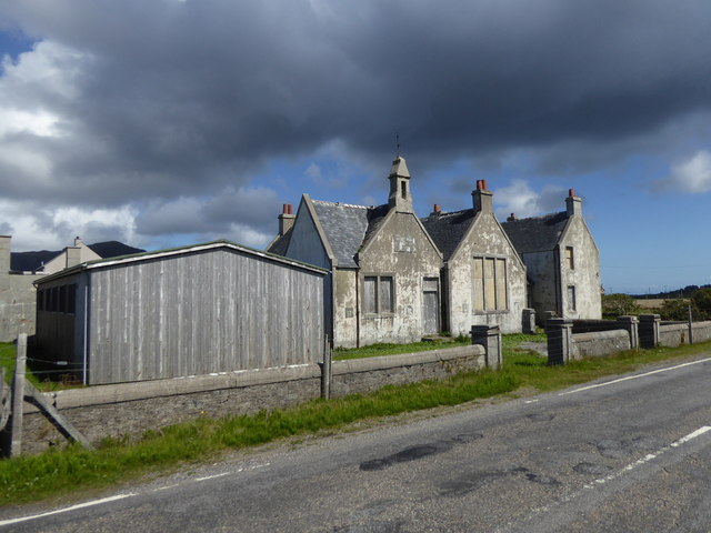
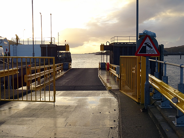
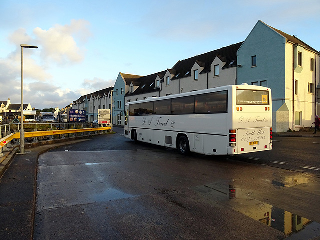
Durinish Images
Images are sourced within 2km of 57.152225/-7.3195206 or Grid Reference NF7819. Thanks to Geograph Open Source API. All images are credited.
![Steaming out of Loch Baghasdail Not sure if 'steaming' is quite the right expression to describe the movement of a diesel powered car ferry. Taken from the deck of MV 'Lord of the Isles' having just passed the small island of Gasaigh [centre left]. Lochboisdale port can be seen in the distance.](https://s2.geograph.org.uk/geophotos/03/06/57/3065774_21c62608.jpg)

Durinish is located at Grid Ref: NF7819 (Lat: 57.152225, Lng: -7.3195206)
Unitary Authority: Na h-Eileanan an Iar
Police Authority: Highlands and Islands
What 3 Words
///cyclones.solo.doormat. Near Lochboisdale, Na h-Eileanan Siar
Nearby Locations
Related Wikis

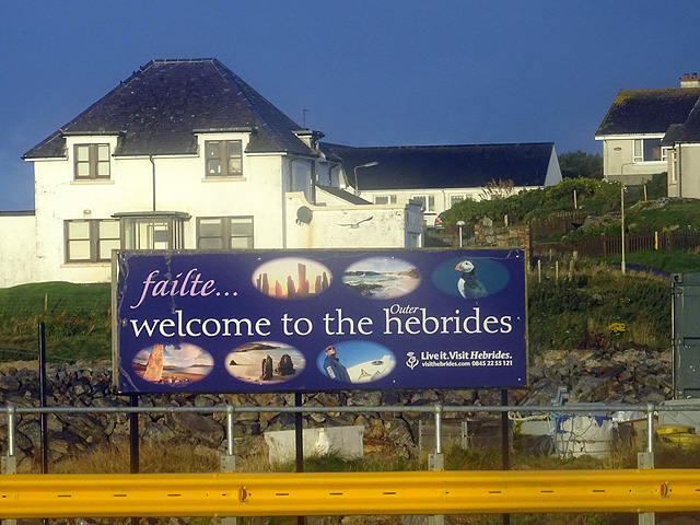
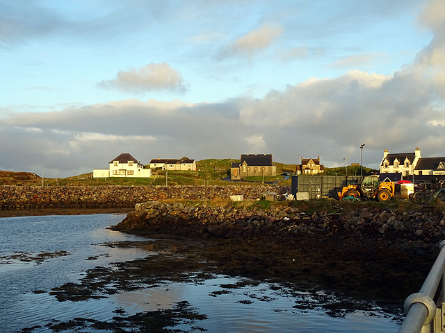
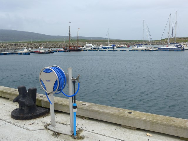
Lochboisdale
Lochboisdale (Scottish Gaelic: Loch Baghasdail [ɫ̪ɔx ˈbɤːs̪t̪ɪl]) is the main village and port on the island of South Uist, Outer Hebrides, Scotland. Lochboisdale...

Papar
The Papar (Icelandic pronunciation: [ˈpʰaːpar̥]; from Latin papa, via Old Irish, meaning "father" or "pope") were, according to early Icelandic sagas,...
Eileanan Iasgaich
Na h-Eileanan Iasgaich comprise a small uninhabited archipelago in Loch Boisdale, in the south east of the island of South Uist, in the Outer Hebrides...

Auratote
Auratote (Scottish Gaelic: Oratobht) is a location on South Uist in the Outer Hebrides, Scotland. Auratote is within the parish of South Uist. == References... ==
Nearby Amenities
Located within 500m of 57.152225,-7.3195206Have you been to Durinish?
Leave your review of Durinish below (or comments, questions and feedback).