Tortumbeg

Coastal Feature, Headland, Point in Inverness-shire

Scotland

Tortumbeg
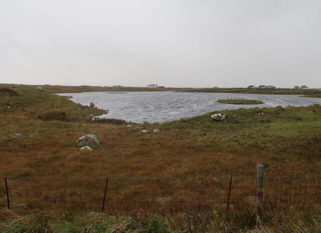
Unnamed loch on Benbecula
Unnamed loch on Benbecula Credit: Hugh Venables

Tortumbeg is a picturesque headland located in Inverness-shire, Scotland. Situated along the coast, Tortumbeg offers stunning views of the surrounding landscape and the nearby sea. The headland is characterized by rugged cliffs that jut out into the water, providing a dramatic backdrop for visitors to admire.

Tortumbeg is a popular destination for tourists and locals alike, who come to enjoy the natural beauty of the area. The headland is also home to a variety of wildlife, including seabirds and marine life, making it a great spot for birdwatching and wildlife enthusiasts.

Visitors to Tortumbeg can take in the breathtaking views from the cliff tops, explore the rocky shoreline, or simply relax and soak in the peaceful atmosphere. The headland is also a great place for outdoor activities such as hiking, fishing, and photography.

Overall, Tortumbeg is a must-visit destination for anyone looking to experience the rugged beauty of the Scottish coast. Its stunning views, diverse wildlife, and tranquil atmosphere make it a truly special place to visit.

If you have any feedback on the listing, please let us know in the comments section below.

Tortumbeg Images

Images are sourced within 2km of 57.420747/-7.3591149 or Grid Reference NF7849. Thanks to Geograph Open Source API. All images are credited.

Unnamed loch on Benbecula
Caisteal Bhuirgh
Caisteal Bhuirgh
Road to Oban Strom Sgrianaig
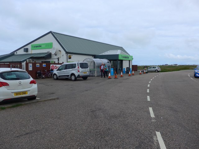
The Co-operative store, Creagorry (Benbecula) A good sized shop.  Just don't ask when the newspapers come in;  it's usually mid-afternoon!
The Co-operative store, Creagorry (Benbecula)
A good sized shop. Just don't ask when the newspapers come in; it's usually mid-afternoon!
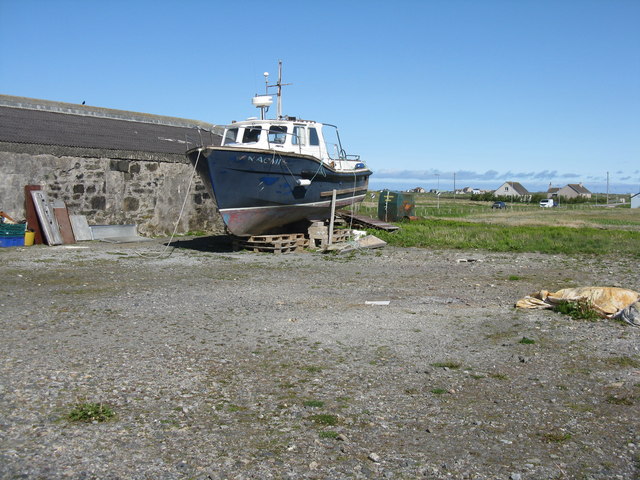
Boat in an hotel yard In the car park of the Isle of Benbecula Hotel at Creagorry/Creag Ghoraidh.
Boat in an hotel yard
In the car park of the Isle of Benbecula Hotel at Creagorry/Creag Ghoraidh.
Salt marsh at Creagorry/Creag Ghoraidh Directly across the road [A865] from the Creagorry Hotel.
Salt marsh at Creagorry/Creag Ghoraidh
Directly across the road [A865] from the Creagorry Hotel.
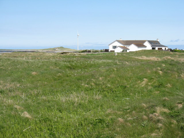
Houses at Creagorry/Creag Ghoraidh Overlooking sea and salt marsh.
Houses at Creagorry/Creag Ghoraidh
Overlooking sea and salt marsh.
Abandoned farming implement, Lionacleit
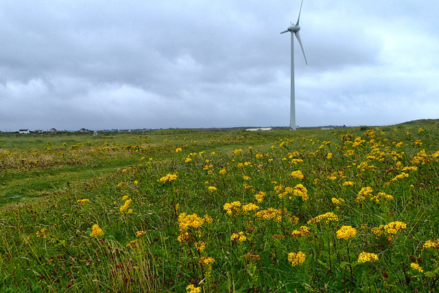
Wind turbine, Lionacleit
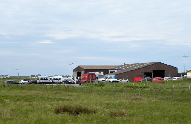
Garage by the A865 Filling station and workshops by the A865 on Benbecula. Fuel might be expensive on the Outer Hebrides, but it's still cheaper than motorway prices.
Garage by the A865
Filling station and workshops by the A865 on Benbecula. Fuel might be expensive on the Outer Hebrides, but it's still cheaper than motorway prices.
Borve machair Farmland in south-east Benbecula.
Borve machair
Farmland in south-east Benbecula.
Track through the machair At Borve, Benbecula.
Track through the machair
At Borve, Benbecula.
Machair, Borgh A road across the extensive machair.
Machair, Borgh
A road across the extensive machair.
Croft beyond the loch Looking across Loch na Craoibhe Bige [which might mean 'loch of the small tree'] towards some grassland on a Benbecula croft.
Croft beyond the loch
Looking across Loch na Craoibhe Bige [which might mean 'loch of the small tree'] towards some grassland on a Benbecula croft.
Borve Castle WWII Chain Home beam radar station
Borve Castle
WWII Chain Home beam radar station
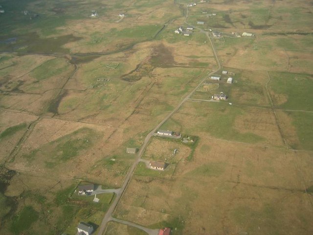
Torlum, Benbecula Viewed from the Loganair (British Airways) Twin Otter en route from Barra on approach to Benbecula Airport
Torlum, Benbecula
Viewed from the Loganair (British Airways) Twin Otter en route from Barra on approach to Benbecula Airport
Benbecula Auto Spares Situated at Torlum.
Benbecula Auto Spares
Situated at Torlum.
Croft at Torlum Isle of Benbecula.
Croft at Torlum
Isle of Benbecula.
Show me another place!

Tortumbeg is located at Grid Ref: NF7849 (Lat: 57.420747, Lng: -7.3591149)

Unitary Authority: Na h-Eileanan an Iar

Police Authority: Highlands and Islands

What 3 Words

///yield.digress.collect. Near Balivanich, Na h-Eileanan Siar

Related Wikis

Borve Castle, Benbecula

Borve Castle, also known as Castle Wearie, and Caisteal Bhuirgh in Scottish Gaelic, is a ruined 14th-century tower house, located at the south-west of...

Balgarva

Balgarva (Scottish Gaelic: Baile Gharbhaidh) is a crofting settlement on South Uist in the Outer Hebrides, Scotland. Balgarva is within the parish of South...

Iochdar

Iochdar (Scottish Gaelic: An t-Ìochdair), also spelled Eochar, is a hamlet and community on the west coast of the island of South Uist, in the Outer Hebrides...

Uist

Uist is a group of six islands that are part of the Outer Hebridean Archipelago, which is part of the Outer Hebrides of Scotland. North Uist and South...

Nearby Amenities

Located within 500m of 57.420747,-7.3591149
Pub
Public Bar - Dark Island Hotel
Breakfast: Mon-Su 07:00-09:30
Lunch: yes
Lunch Menu: Mo-Su 12:00-15:00
Outdoor Seating: yes
Payment Cash: yes
Phone: +44 1870 603030
Toilets: yes
Lat/Long: 57.4240011/-7.3622647
Generator Method: wind_turbine
Generator Source: wind
Generator Type: horizontal_axis
Power: generator
Lat/Long: 57.4217451/-7.3617251
Entrance: yes
Lat/Long: 57.4240054/-7.3623003
Entrance: main
Lat/Long: 57.4241902/-7.3622403
Barrier: cattle_grid
Lat/Long: 57.421457/-7.3619513
Barrier: cattle_grid
Lat/Long: 57.4238964/-7.3628019
Note: ampitheatre? around 20 wooden benches facing a wooden stage
Lat/Long: 57.4235945/-7.3635801
Waste Basket
Lat/Long: 57.4237752/-7.362979
Waste Basket
Lat/Long: 57.4236438/-7.3637025
Power: pole
Lat/Long: 57.4236158/-7.3527844
Power: pole
Lat/Long: 57.4232056/-7.3521709
Power: pole
Lat/Long: 57.4235161/-7.3536139
Barrier: cattle_grid
Lat/Long: 57.4236338/-7.3543557
The data included in this document is from www.openstreetmap.org. The data is made available under ODbL.

Have you been to Tortumbeg?

Leave your review of Tortumbeg below (or comments, questions and feedback).