An Corran
Coastal Feature, Headland, Point in Inverness-shire
Scotland
An Corran
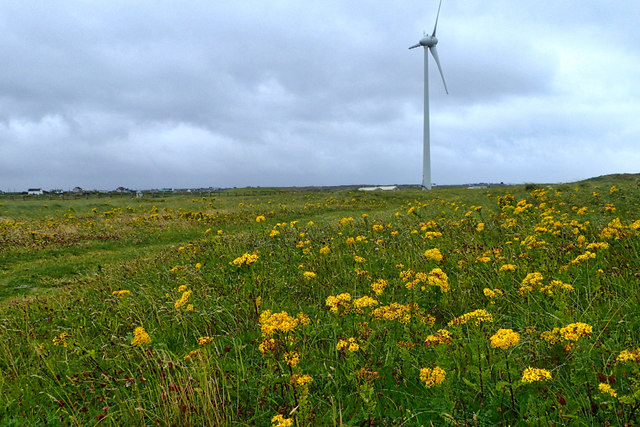
An Corran is a coastal headland located in Inverness-shire, Scotland. It is known for its stunning views of the surrounding landscape and the Moray Firth. The headland is characterized by rugged cliffs, rocky outcrops, and a small pebble beach.
An Corran is a popular spot for bird-watching, as it is home to a variety of seabirds such as gulls, terns, and cormorants. The headland also provides a habitat for a number of marine species, including seals and dolphins, which can often be spotted off the coast.
Visitors to An Corran can enjoy hiking along the coastal paths, exploring the rock pools, and taking in the panoramic views of the sea and surrounding countryside. The headland is also a great spot for picnicking and enjoying the peaceful atmosphere of the Scottish coast.
Overall, An Corran offers a unique and picturesque setting for nature lovers and outdoor enthusiasts looking to explore the natural beauty of Inverness-shire's coastline.
If you have any feedback on the listing, please let us know in the comments section below.
An Corran Images
Images are sourced within 2km of 57.417631/-7.3591753 or Grid Reference NF7849. Thanks to Geograph Open Source API. All images are credited.


![Salt marsh at Creagorry/Creag Ghoraidh Directly across the road [A865] from the Creagorry Hotel.](https://s1.geograph.org.uk/geophotos/05/00/21/5002145_2d59f921.jpg)


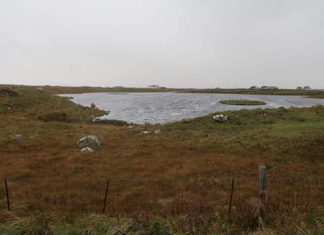
![Croft beyond the loch Looking across Loch na Craoibhe Bige [which might mean 'loch of the small tree'] towards some grassland on a Benbecula croft.](https://s2.geograph.org.uk/geophotos/06/20/90/6209010_e8273a31.jpg)


An Corran is located at Grid Ref: NF7849 (Lat: 57.417631, Lng: -7.3591753)
Unitary Authority: Na h-Eileanan an Iar
Police Authority: Highlands and Islands
What 3 Words
///massive.access.reversed. Near Balivanich, Na h-Eileanan Siar
Nearby Locations
Related Wikis

Borve Castle, Benbecula
Borve Castle, also known as Castle Wearie, and Caisteal Bhuirgh in Scottish Gaelic, is a ruined 14th-century tower house, located at the south-west of...

Iochdar
Iochdar (Scottish Gaelic: An t-Ìochdair), also spelled Eochar, is a hamlet and community on the west coast of the island of South Uist, in the Outer Hebrides...

Balgarva
Balgarva (Scottish Gaelic: Baile Gharbhaidh) is a crofting settlement on South Uist in the Outer Hebrides, Scotland. Balgarva is within the parish of South...

Uist
Uist is a group of six islands that are part of the Outer Hebridean Archipelago, which is part of the Outer Hebrides of Scotland. North Uist and South...
Nearby Amenities
Located within 500m of 57.417631,-7.3591753Have you been to An Corran?
Leave your review of An Corran below (or comments, questions and feedback).