Caisteal Odair
Coastal Feature, Headland, Point in Inverness-shire
Scotland
Caisteal Odair
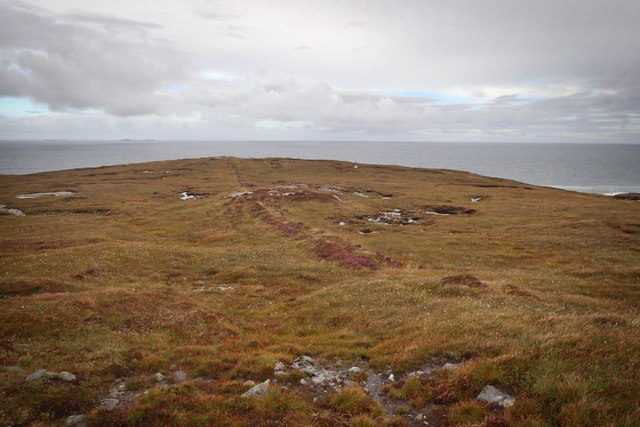
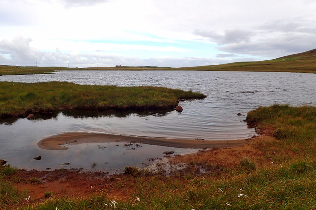
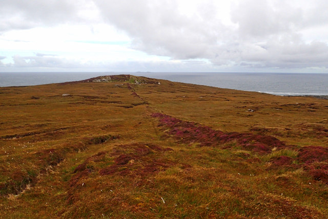
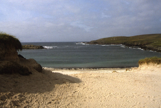
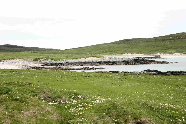
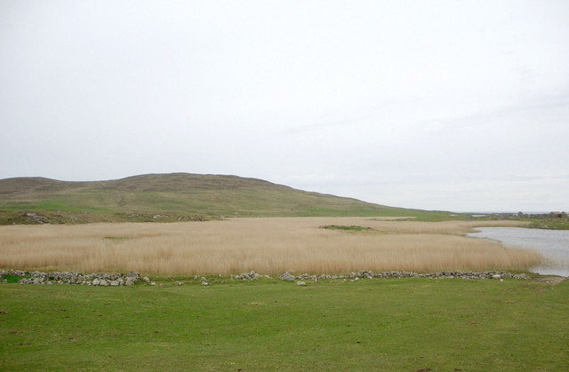
Caisteal Odair is a prominent coastal feature located in Inverness-shire, Scotland. It is a headland or point that extends into the North Sea, offering breathtaking views of the surrounding landscape.
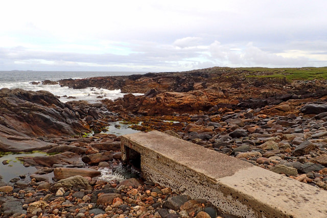
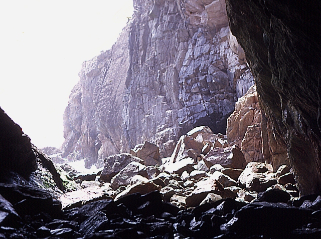
The name "Caisteal Odair" translates to "Red Castle" in Gaelic, alluding to the reddish hue of the rocks found in this area. The headland is formed by layers of sedimentary rocks, primarily sandstone and conglomerate, which have been shaped by erosion processes over millions of years.
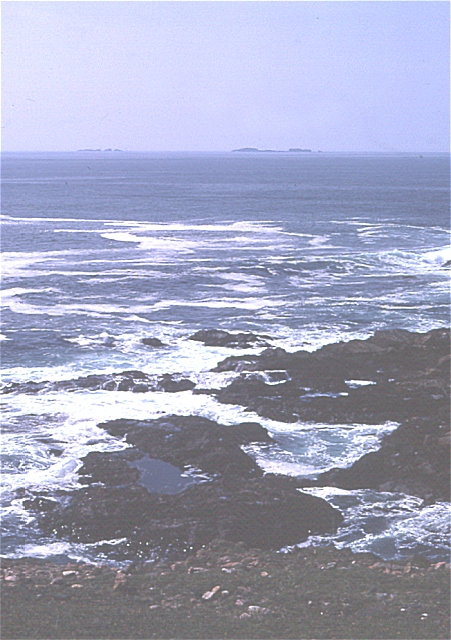
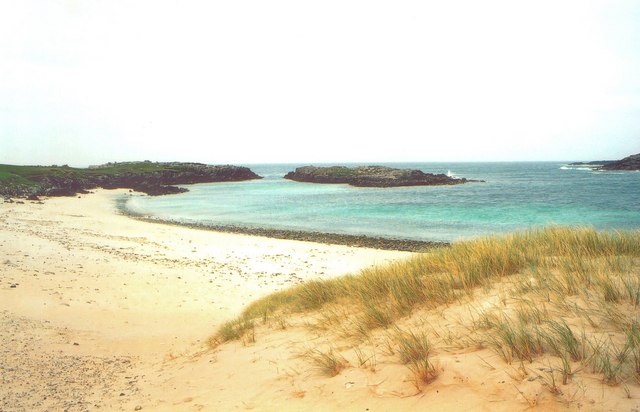
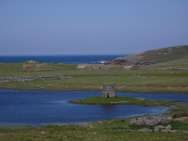
This coastal feature is characterized by its rugged cliffs, which soar high above the crashing waves below. The cliffs are a result of the relentless pounding of the sea against the rock, gradually wearing it away and forming steep drop-offs. This creates a dramatic and awe-inspiring sight for visitors to behold.
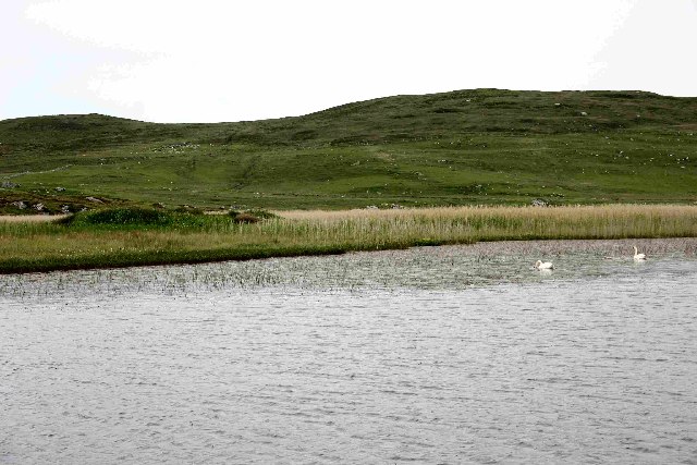
Caisteal Odair is also home to a diverse array of wildlife. Various species of seabirds, such as puffins, gannets, and kittiwakes, nest on the cliffs, making it a popular spot for birdwatching enthusiasts. In addition, the surrounding waters are known for their rich marine life, including seals, dolphins, and even occasional sightings of whales.
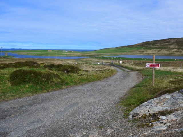
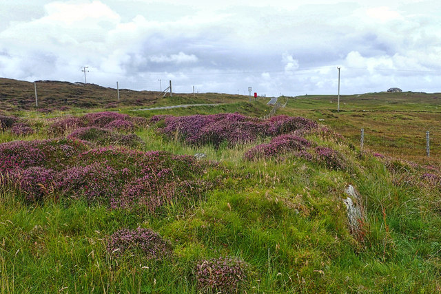
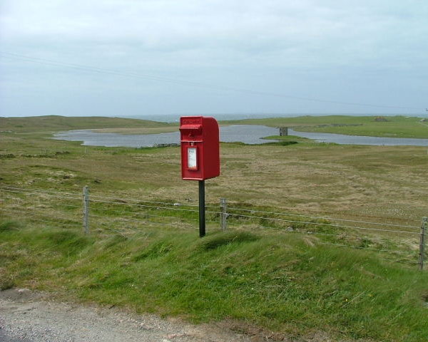
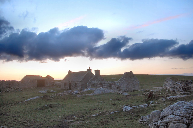
Visitors to Caisteal Odair can explore the headland on foot, following well-marked trails that wind through the coastal landscape. Along the way, they can enjoy panoramic views of the North Sea and surrounding countryside. The headland is also a great spot for photography, especially during sunrise and sunset when the light casts a warm glow on the cliffs.
Overall, Caisteal Odair is a stunning coastal feature that offers a captivating blend of natural beauty, geological wonders, and abundant wildlife.
If you have any feedback on the listing, please let us know in the comments section below.
Caisteal Odair Images
Images are sourced within 2km of 57.661921/-7.4823573 or Grid Reference NF7376. Thanks to Geograph Open Source API. All images are credited.
Caisteal Odair is located at Grid Ref: NF7376 (Lat: 57.661921, Lng: -7.4823573)
Unitary Authority: Na h-Eileanan an Iar
Police Authority: Highlands and Islands
What 3 Words
///seat.dummy.proven. Near Lochmaddy, Na h-Eileanan Siar
Nearby Locations
Related Wikis

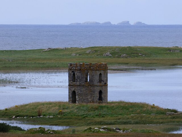
Scolpaig
Scolpaig (Scottish Gaelic: Sgolpaig) is a district on the north-west coast of the island of North Uist in the Outer Hebrides of Scotland. In 2018 it was...

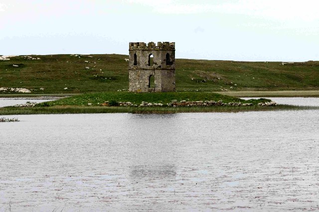
Scolpaig Tower
Scolpaig Tower (also known as Dùn Scolpaig or MacLeod’s Folly) is a Georgian folly located near the village of Scolpaig on the island of North Uist in...

Eilean Dòmhnuill
Ian Armit identifies the islet of Eilean Dòmhnuill (Scottish Gaelic: Eilean Dòmhnaill, Scottish Gaelic pronunciation: [elan ˈt̪õː.ɪʎ], "The Isle of Donald...

Vallay
Vallay (Scottish Gaelic: Bhàlaigh) is an uninhabited tidal island in the Scottish Outer Hebrides. It can be reached from North Uist by a long beach at...
Nearby Amenities
Located within 500m of 57.661921,-7.4823573Have you been to Caisteal Odair?
Leave your review of Caisteal Odair below (or comments, questions and feedback).