Rubh' Aird-mhicheil
Coastal Feature, Headland, Point in Inverness-shire
Scotland
Rubh' Aird-mhicheil
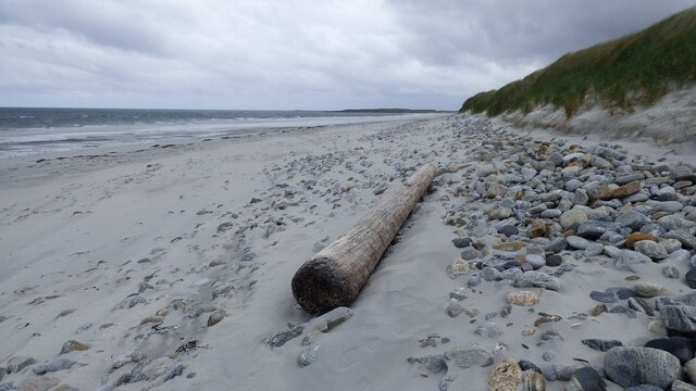
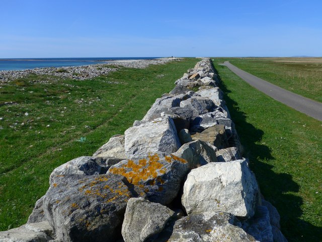
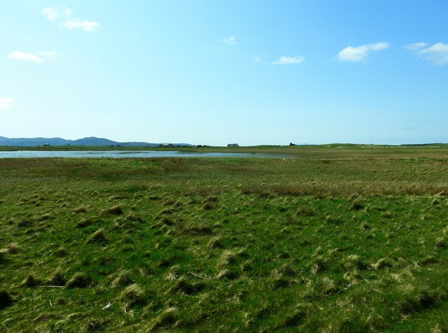
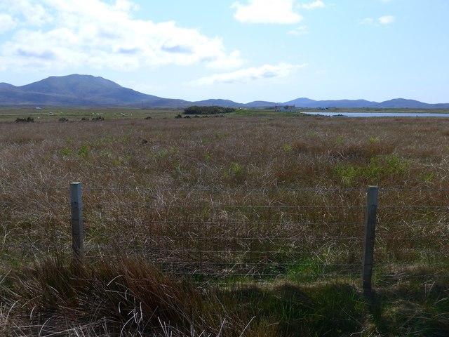
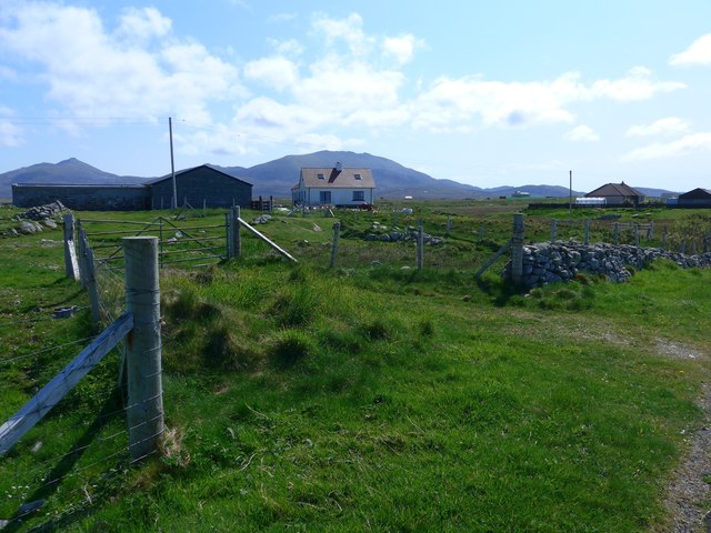
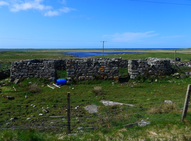
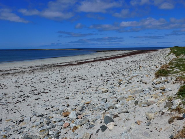
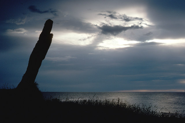
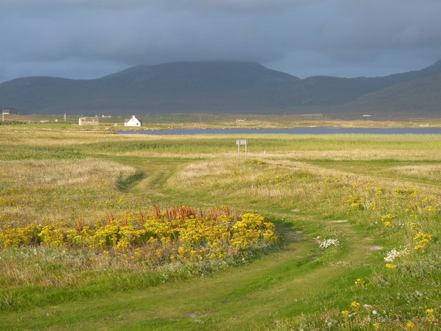
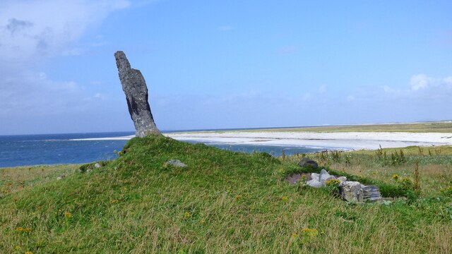
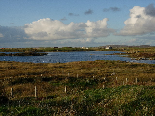
Rubh' Aird-mhicheil is a prominent headland located in Inverness-shire, Scotland. Situated along the rugged coastline, this coastal feature offers stunning views of the surrounding landscape and the North Sea. The headland is characterized by its steep cliffs, rocky outcrops, and grassy slopes, making it a popular destination for hikers and nature enthusiasts.
At the tip of Rubh' Aird-mhicheil, there is a small lighthouse that has been guiding ships along the coast for many years. The lighthouse adds to the picturesque scenery of the headland and serves as a reminder of the area's maritime history.
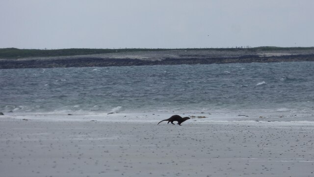
Visitors to Rubh' Aird-mhicheil can enjoy walking along the coastal paths, taking in the fresh sea air, and spotting a variety of seabirds that nest in the cliffs. The headland is also a great spot for whale and dolphin watching, as these marine mammals can often be seen swimming in the waters off the coast.
Overall, Rubh' Aird-mhicheil is a beautiful and peaceful coastal feature that offers a glimpse into the natural beauty of the Scottish coastline. It is a must-visit destination for anyone exploring the Inverness-shire region.
If you have any feedback on the listing, please let us know in the comments section below.
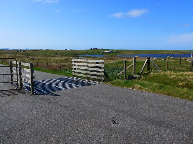
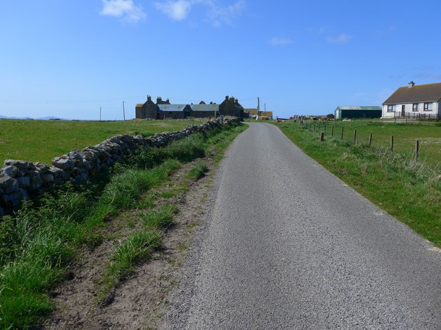
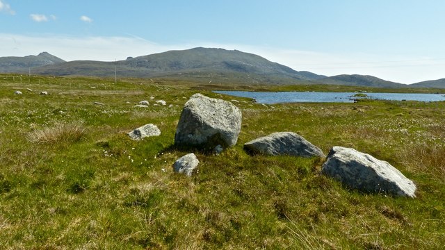
Rubh' Aird-mhicheil Images
Images are sourced within 2km of 57.273542/-7.4265821 or Grid Reference NF7333. Thanks to Geograph Open Source API. All images are credited.
Rubh' Aird-mhicheil is located at Grid Ref: NF7333 (Lat: 57.273542, Lng: -7.4265821)
Unitary Authority: Na h-Eileanan an Iar
Police Authority: Highlands and Islands
What 3 Words
///ooze.estuaries.booster. Near Lochboisdale, Na h-Eileanan Siar
Nearby Locations
Related Wikis

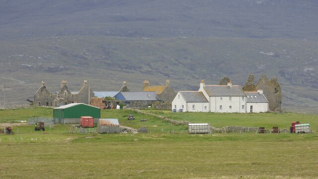
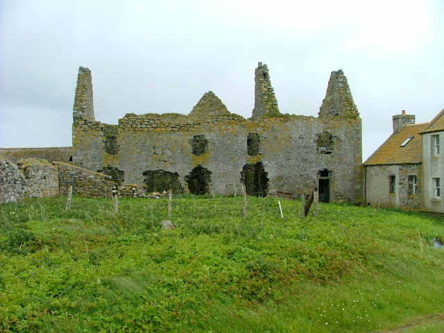
Ormacleit Castle
Ormacleit Castle (Scottish Gaelic: Caisteal Ormacleit) is a ruined mansion house of the early 18th century. It is located on South Uist in the Western...
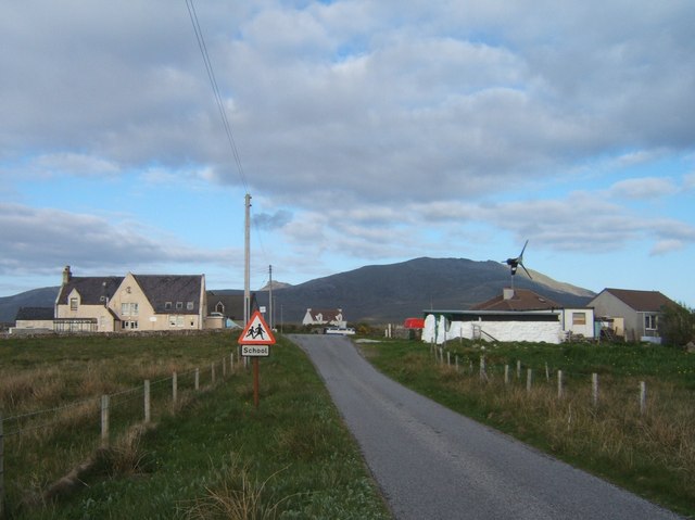
Stoneybridge
Stoneybridge (Scottish Gaelic: Staoinebrig) is a village on the island of South Uist in Scotland. The Crois Chnoca Breaca standing stone is situated to...

Bornish
Bornish (Scottish Gaelic: Bòrnais) is a village and community council area on South Uist in the Outer Hebrides, Scotland. Bornish is also within the civil...

Dun Vulan
Dun Vulan Broch (Scottish Gaelic: 'Dùn Mhùlan' or 'Dùn Mhaoilinn') is an Iron Age broch in South Uist, Scotland. == Location == Dun Vulan is located in...
Nearby Amenities
Located within 500m of 57.273542,-7.4265821Have you been to Rubh' Aird-mhicheil?
Leave your review of Rubh' Aird-mhicheil below (or comments, questions and feedback).