Sròn na Faing
Coastal Feature, Headland, Point in Ross-shire
Scotland
Sròn na Faing
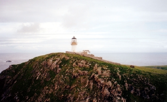
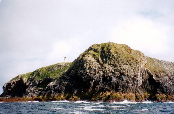
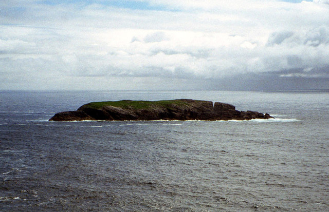
Sròn na Faing is a prominent coastal feature located in Ross-shire, Scotland. It is a headland that juts out into the North Atlantic Ocean, forming a distinctive point along the rugged coastline. The name Sròn na Faing translates to "nose of the white peat moss" in Scottish Gaelic, which aptly describes the unique landscape of the area.
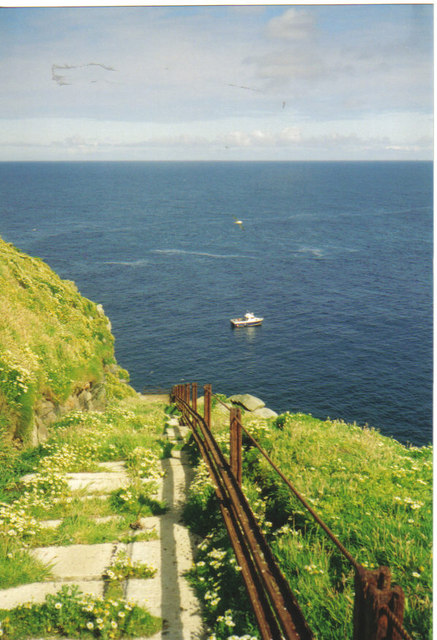
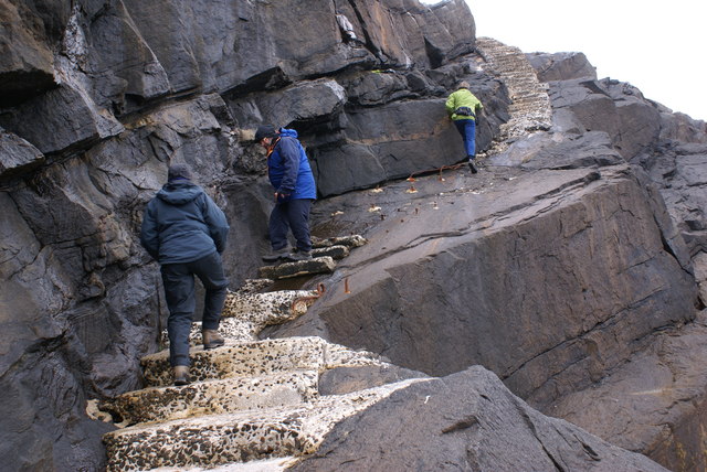
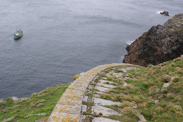
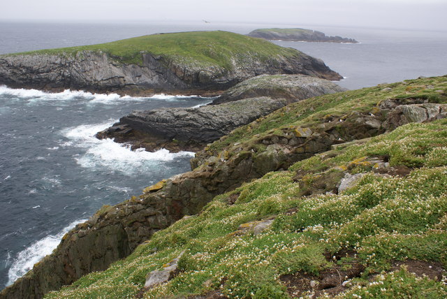
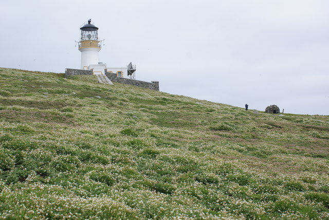
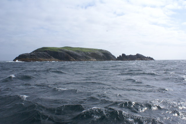
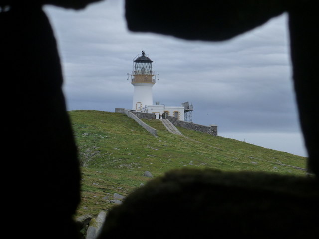
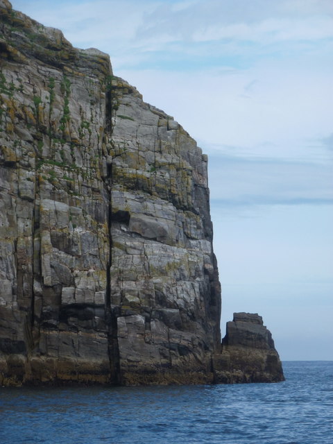
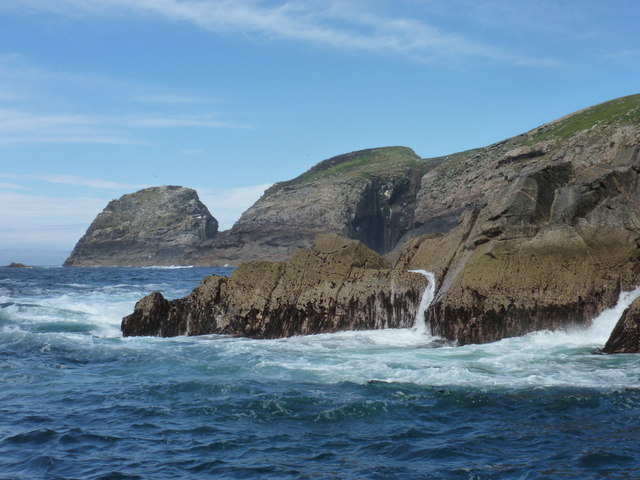
The headland is characterized by its steep cliffs, which rise dramatically from the sea, providing breathtaking panoramic views of the surrounding coastline. Its exposed position makes it susceptible to strong winds and crashing waves, adding to its wild and untamed beauty. The cliffs are composed of ancient rock formations, displaying layers of sedimentary rocks that have been shaped by millions of years of erosion.
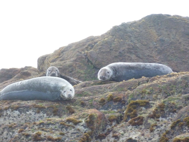
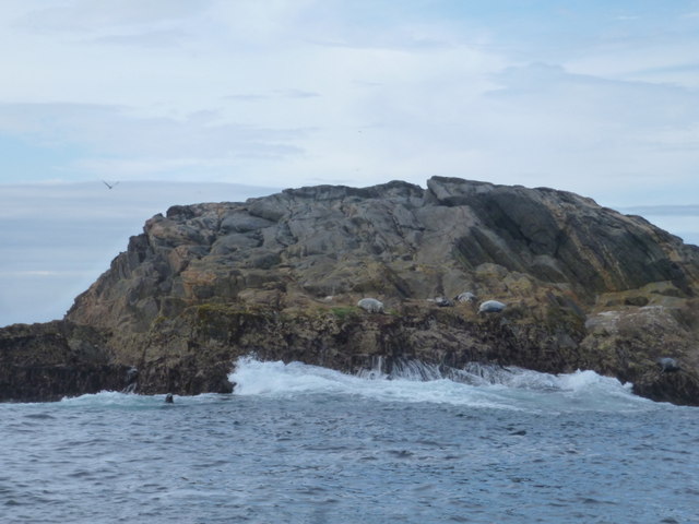
Sròn na Faing is also home to a diverse range of flora and fauna. The coastal grasslands and heathlands support a variety of plant species, including wildflowers and mosses. The area is a haven for birdwatchers, as it provides nesting sites for seabirds such as puffins, guillemots, and fulmars. Grey seals can also be spotted basking on the rocks below.
This coastal feature attracts visitors and outdoor enthusiasts who are drawn to its natural beauty and the opportunity to explore its rugged terrain. Hiking trails along the headland offer stunning views and a chance to immerse oneself in the unspoiled wilderness. For those seeking tranquility and a connection with nature, Sròn na Faing is a must-visit destination along the Ross-shire coastline.
If you have any feedback on the listing, please let us know in the comments section below.
Sròn na Faing Images
Images are sourced within 2km of 58.28861/-7.5860877 or Grid Reference NA7246. Thanks to Geograph Open Source API. All images are credited.
Sròn na Faing is located at Grid Ref: NA7246 (Lat: 58.28861, Lng: -7.5860877)
Unitary Authority: Na h-Eileanan an Iar
Police Authority: Highlands and Islands
What 3 Words
///homelands.composts.carbon. Near Carloway, Na h-Eileanan Siar
Related Wikis

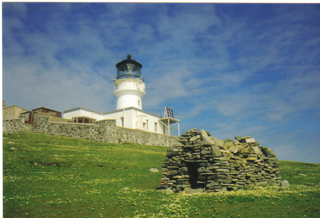
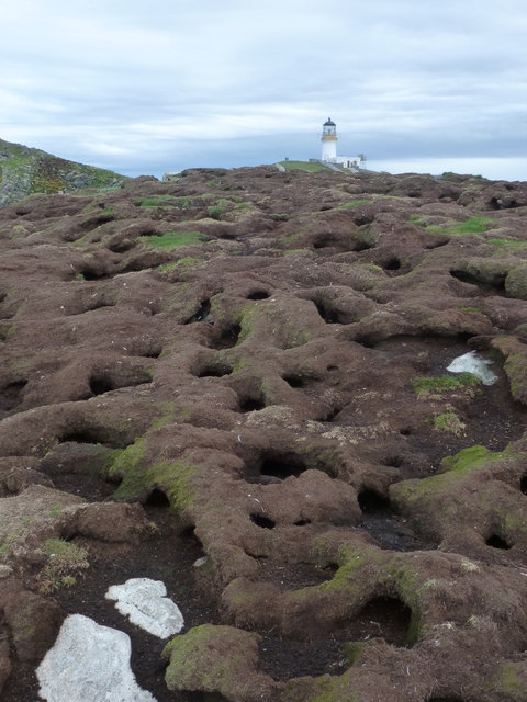
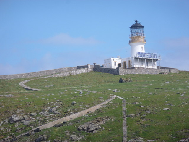
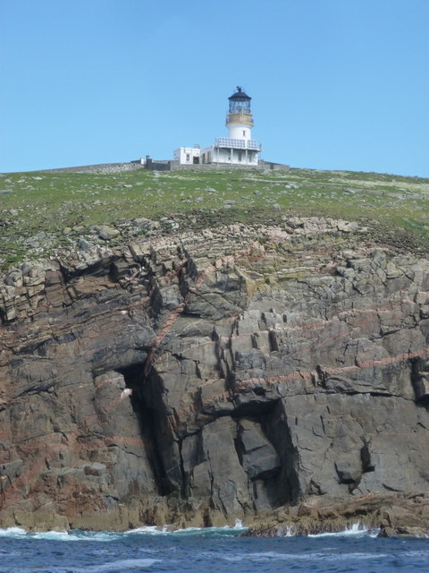
Flannan Isles Lighthouse
Flannan Isles Lighthouse is a lighthouse near the highest point on Eilean Mòr, one of the Flannan Isles in the Outer Hebrides off the west coast of Scotland...

Flannan Isles
The Flannan Isles (Scottish Gaelic: Na h-Eileanan Flannach) or the Seven Hunters are a small island group in the Outer Hebrides of Scotland, approximately...
Nearby Amenities
Located within 500m of 58.28861,-7.5860877Have you been to Sròn na Faing?
Leave your review of Sròn na Faing below (or comments, questions and feedback).