Dearc na Sgeir
Island in Ross-shire
Scotland
Dearc na Sgeir
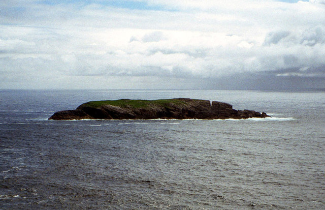
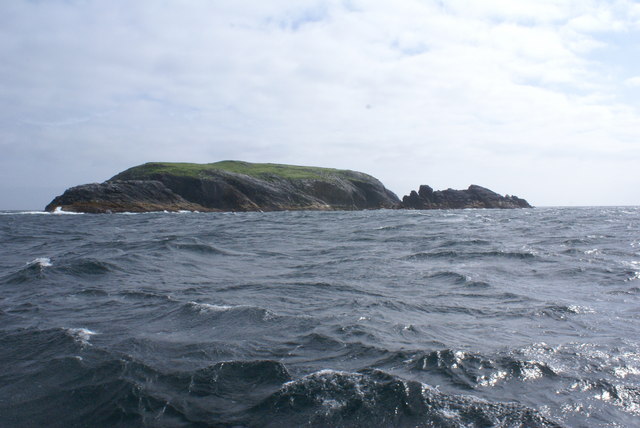
Dearc na Sgeir, also known as the Isle of Dearc, is a small island located off the coast of Ross-shire in Scotland. Spanning an area of approximately 0.2 square kilometers, it is situated in the North Atlantic Ocean and is a part of the Outer Hebrides archipelago.
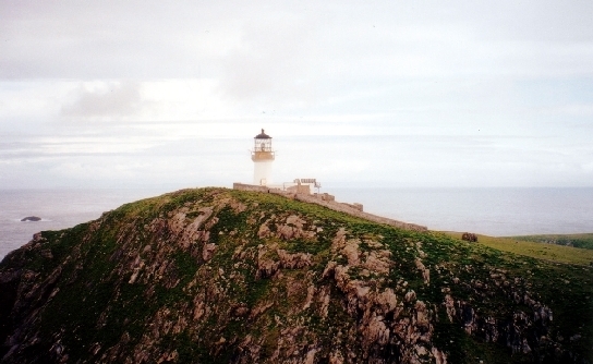
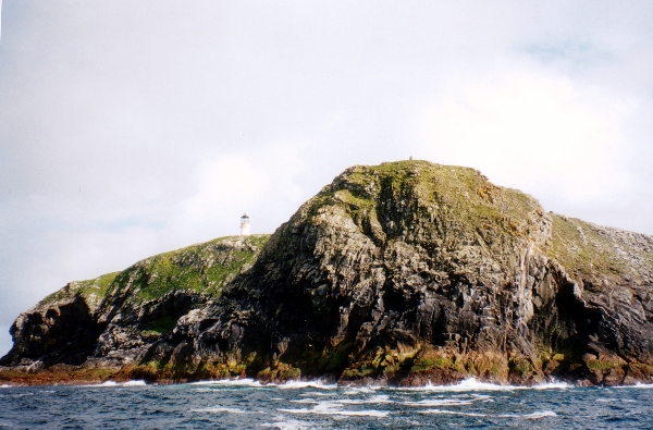
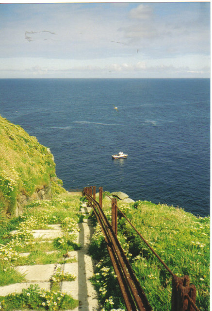
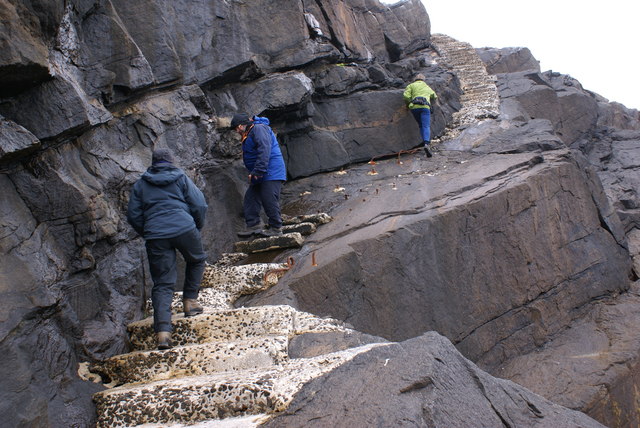
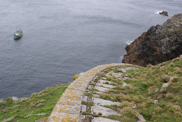
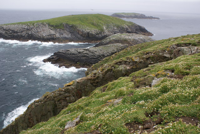
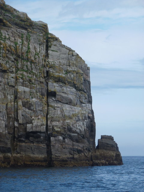
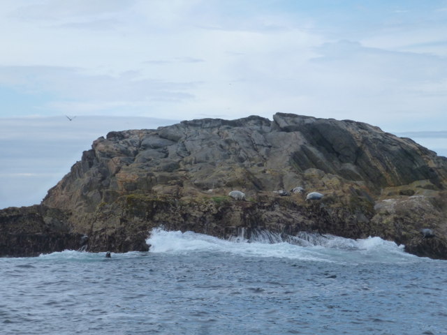
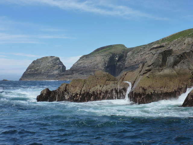
Dearc na Sgeir is a rocky and uninhabited island, characterized by its rugged terrain and steep cliffs that rise dramatically from the sea. The island is formed primarily of Lewisian gneiss, an ancient rock type that gives it a distinct and picturesque appearance. Its isolation and untouched beauty make it a popular destination for wildlife enthusiasts and nature lovers.
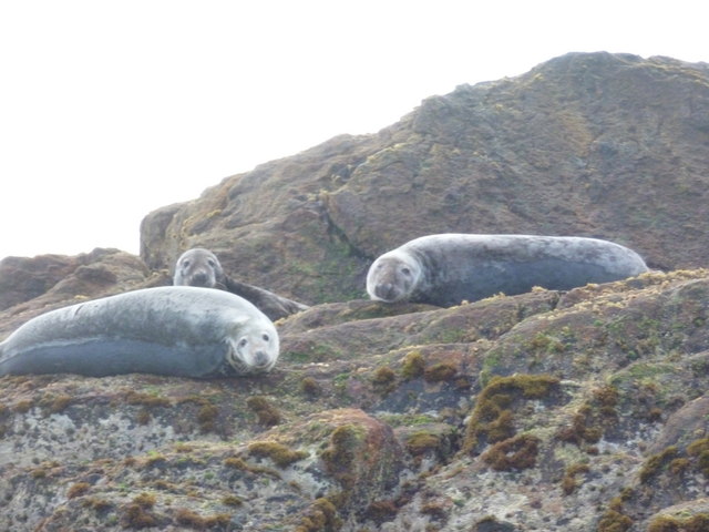
One of the key features of Dearc na Sgeir is its abundant birdlife. The island is home to a variety of seabirds, including puffins, razorbills, and guillemots, which nest on its cliffs during the breeding season. Additionally, seals can often be seen basking on the rocky shores, while dolphins and whales occasionally visit the surrounding waters.
Access to Dearc na Sgeir is challenging due to its remote location and lack of facilities. However, boat trips and guided tours are available for visitors who wish to explore this natural wonder. It is important to note that as an uninhabited island, there are no amenities or accommodation options on Dearc na Sgeir.
Overall, Dearc na Sgeir offers a unique opportunity to experience the unspoiled beauty of the Scottish coastline and observe a diverse range of wildlife in its natural habitat. With its rugged cliffs, diverse birdlife, and stunning landscapes, the island is a must-visit for those seeking a true wilderness experience.
If you have any feedback on the listing, please let us know in the comments section below.
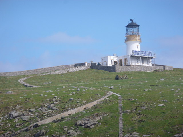
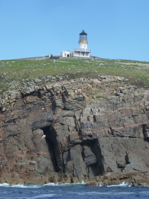
Dearc na Sgeir Images
Images are sourced within 2km of 58.289115/-7.5829714 or Grid Reference NA7246. Thanks to Geograph Open Source API. All images are credited.
Dearc na Sgeir is located at Grid Ref: NA7246 (Lat: 58.289115, Lng: -7.5829714)
Unitary Authority: Na h-Eileanan an Iar
Police Authority: Highlands and Islands
What 3 Words
///obey.botanists.escaping. Near Carloway, Na h-Eileanan Siar
Related Wikis

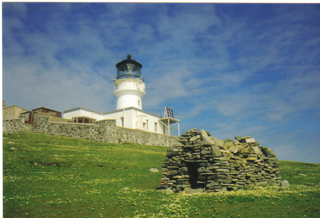
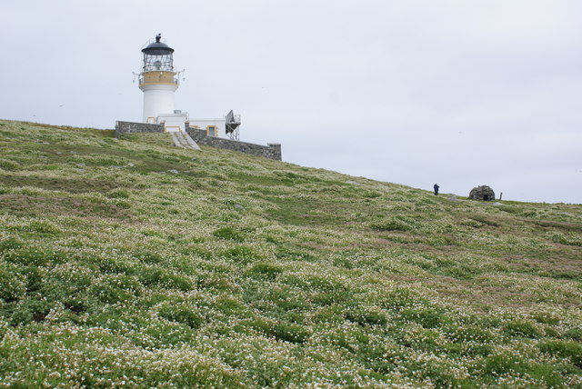
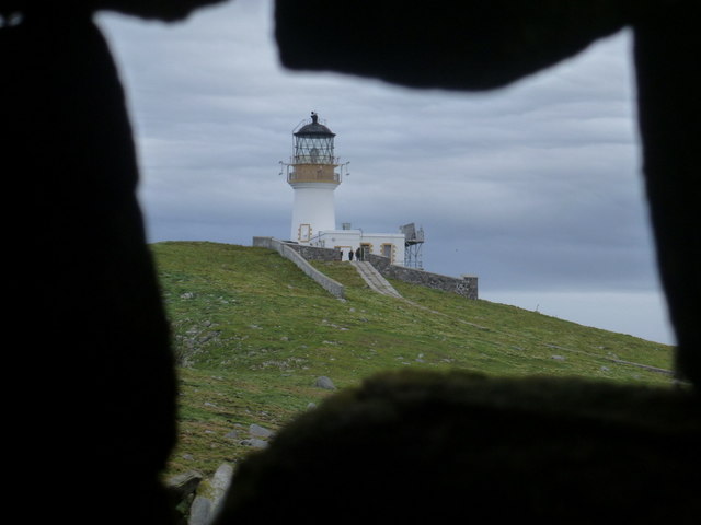
Flannan Isles Lighthouse
Flannan Isles Lighthouse is a lighthouse near the highest point on Eilean Mòr, one of the Flannan Isles in the Outer Hebrides off the west coast of Scotland...

Flannan Isles
The Flannan Isles (Scottish Gaelic: Na h-Eileanan Flannach) or the Seven Hunters are a small island group in the Outer Hebrides of Scotland, approximately...
Nearby Amenities
Located within 500m of 58.289115,-7.5829714Have you been to Dearc na Sgeir?
Leave your review of Dearc na Sgeir below (or comments, questions and feedback).