Lamalum
Island in Inverness-shire
Scotland
Lamalum

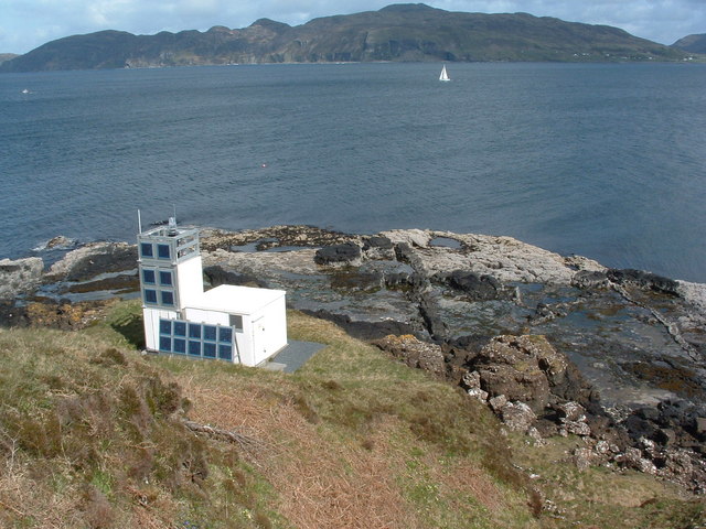
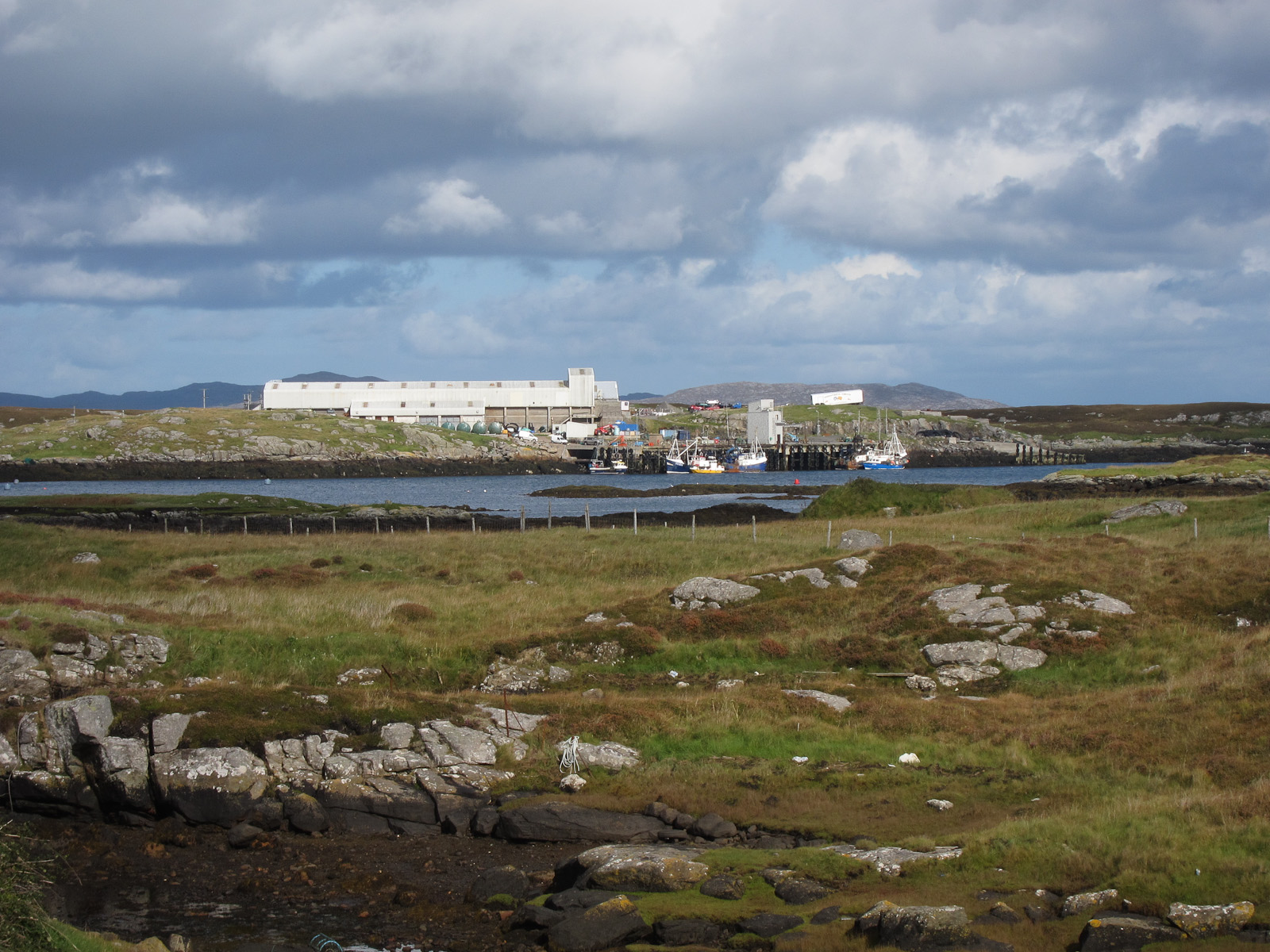
Lamalum is a small and picturesque island located in Inverness-shire, Scotland. Situated off the western coast of Scotland, Lamalum is part of the Inner Hebrides archipelago. The island is surrounded by the Atlantic Ocean, providing breathtaking views of the rugged coastal landscapes and pristine beaches.
With a total area of approximately 10 square miles, Lamalum is sparsely populated, making it an ideal destination for those seeking tranquility and a break from the hustle and bustle of city life. The island is known for its untouched natural beauty, featuring rolling green hills, rocky cliffs, and abundant wildlife.
Lamalum offers a variety of outdoor activities for nature enthusiasts. Hiking and walking trails crisscross the island, providing opportunities to explore its diverse flora and fauna. The island is home to a range of bird species, making it a popular spot for birdwatching. Sea kayaking and sailing are also popular activities, allowing visitors to experience the surrounding waters and perhaps catch a glimpse of seals or dolphins.
Despite its small size, Lamalum has a rich history. Ruins of ancient castles and stone circles can be found scattered across the island, offering a glimpse into its past. The island's main settlement, Lamalum Village, is a charming community where visitors can find accommodations, local shops, and traditional Scottish pubs serving hearty meals and local brews.
Accessible by ferry from the mainland, Lamalum is a hidden gem for those seeking a remote and tranquil escape in the stunning Scottish countryside.
If you have any feedback on the listing, please let us know in the comments section below.
Lamalum Images
Images are sourced within 2km of 57.00472/-7.3906826 or Grid Reference NF7203. Thanks to Geograph Open Source API. All images are credited.


Lamalum is located at Grid Ref: NF7203 (Lat: 57.00472, Lng: -7.3906826)
Unitary Authority: Na h-Eileanan an Iar
Police Authority: Highlands and Islands
What 3 Words
///mysteries.commuted.foil. Near CastleBay, Na h-Eileanan Siar
Nearby Locations
Related Wikis
Ardmore, Barra
Ardmhor (Scottish Gaelic: Aird Mhòr) is a small village in the north east of the Isle of Barra in the Outer Hebrides, Scotland. In 2002 a small ferry port...

Fuiay
Fuiay (Scottish Gaelic: Fùidheigh) is an island in Scotland. It is one of ten islands in the Sound of Barra, a Site of Community Importance for conservation...
Ardveenish
Ardveenish (Scottish Gaelic: Àird Mhèanais) is a village on Barra in the Western Isles, Scotland. Ardveenish is also within the parish of Barra. ��2�...

Bogach
Bogach (Scottish Gaelic: A' Bhogach) is a village on the island of Barra in the Outer Hebrides, Scotland. Bogach is also within the parish of Barra, and...
Have you been to Lamalum?
Leave your review of Lamalum below (or comments, questions and feedback).