Eilean nan Gillean

Island in Inverness-shire

Scotland

Eilean nan Gillean

Track to Loch Scolpaig Loch Scolpaig has an island tower, just visible extreme left.  According to Wikipedia "It was built in about 1830 by Dr Alexander MacLeod, who was the factor of the North Uist estate. It was erected to provide employment for the purpose of famine relief."
Track to Loch Scolpaig Credit: Gordon Brown

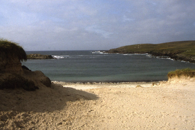
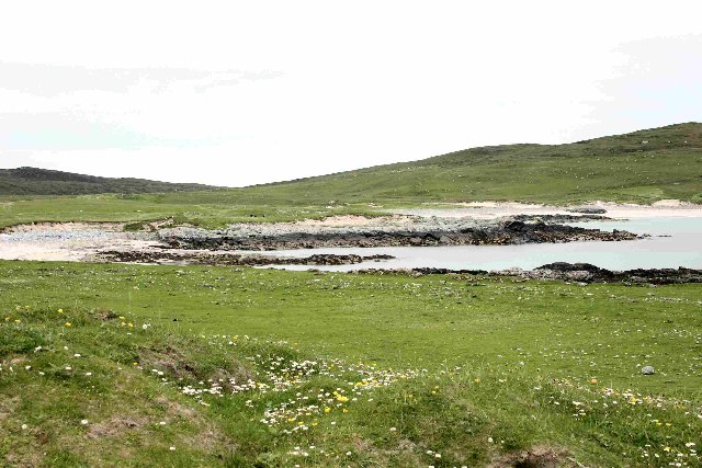
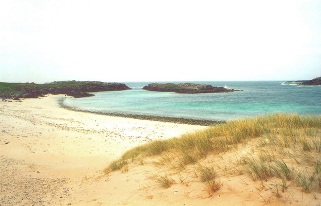
Eilean nan Gillean is a small uninhabited island located in the Inner Hebrides of Scotland, specifically in the county of Inverness-shire. The island is situated in the Sound of Sleat, between the Sleat Peninsula on the Isle of Skye and the mainland of Scotland.

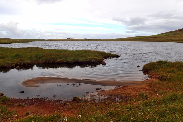
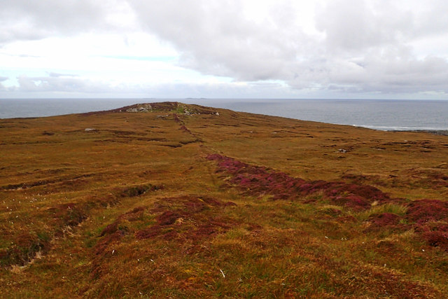
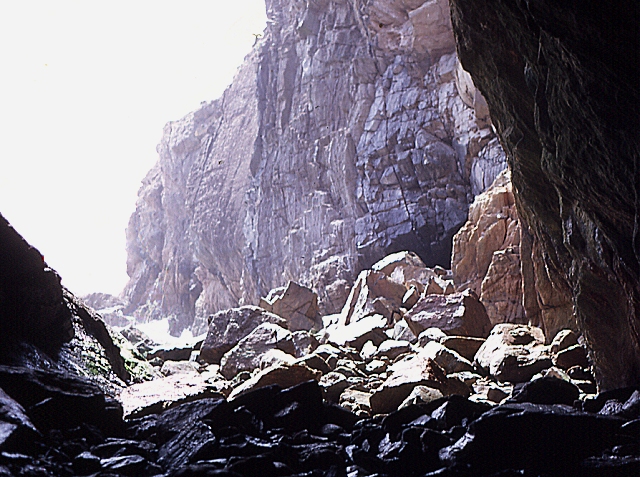
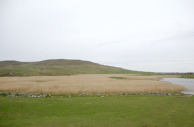
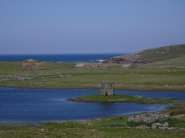
Covering an area of approximately 0.11 square kilometers, Eilean nan Gillean is characterized by its rugged and rocky terrain. The island rises to a maximum height of 34 meters above sea level, offering panoramic views of the surrounding waters and landscapes.

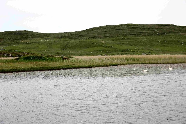
The island is known for its natural beauty and is a popular spot for birdwatching enthusiasts. It is home to a variety of seabirds, including guillemots, razorbills, and puffins, which nest on the rocky cliffs. The waters surrounding the island also attract seals, dolphins, and porpoises, making it a haven for wildlife enthusiasts.

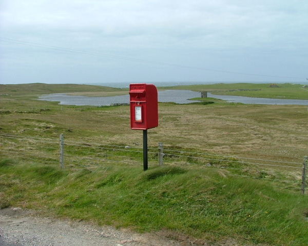
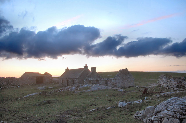
Access to Eilean nan Gillean is mainly by private boat or chartered ferry services, as there are no scheduled public transportation options available. Visitors can explore the island's coastline, take in the breathtaking views, and enjoy picnicking or wildlife observation. However, it is important to note that due to its uninhabited status, there are no amenities or facilities on the island, so visitors should come prepared with food, water, and appropriate outdoor gear.

Overall, Eilean nan Gillean offers a tranquil escape for nature lovers and those seeking to immerse themselves in the stunning landscapes and diverse wildlife of the Scottish Highlands.

If you have any feedback on the listing, please let us know in the comments section below.

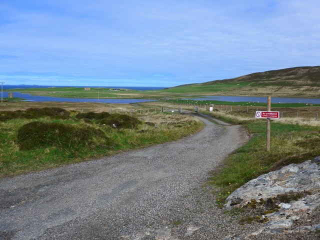
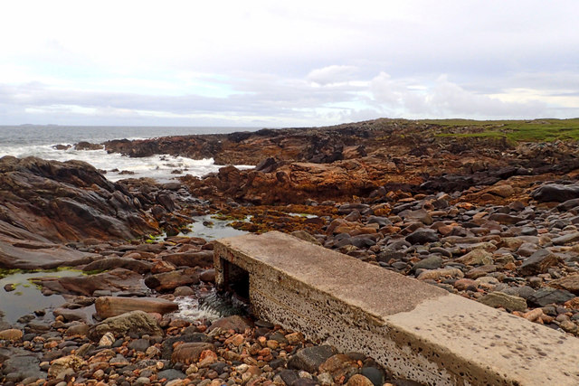
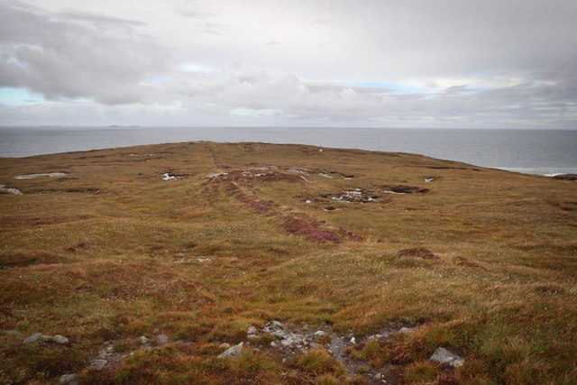
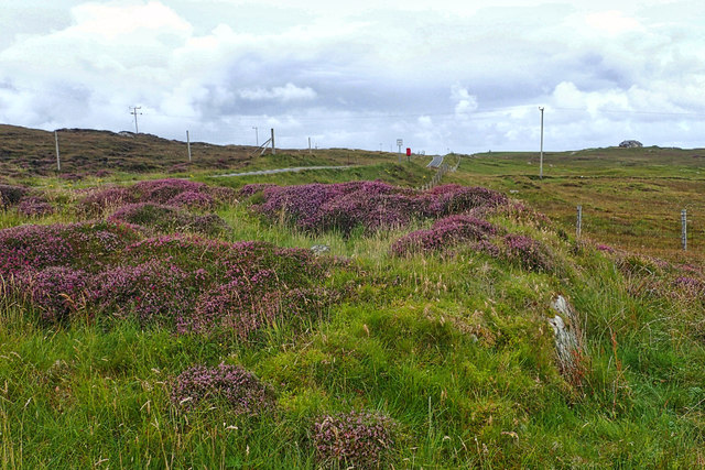
Eilean nan Gillean Images

Images are sourced within 2km of 57.662738/-7.481171 or Grid Reference NF7376. Thanks to Geograph Open Source API. All images are credited.

Track to Loch Scolpaig Loch Scolpaig has an island tower, just visible extreme left.  According to Wikipedia "It was built in about 1830 by Dr Alexander MacLeod, who was the factor of the North Uist estate. It was erected to provide employment for the purpose of famine relief."
Track to Loch Scolpaig
Loch Scolpaig has an island tower, just visible extreme left. According to Wikipedia "It was built in about 1830 by Dr Alexander MacLeod, who was the factor of the North Uist estate. It was erected to provide employment for the purpose of famine relief."
Outflow from Loch Scolpaig
Remains of boundary, leading to Sloc Rubha
Heather at entrance to Scolpaig
Loch Scolpaig
Loch Scolpaig
Old boundary, Ben Scolpaig
Bagh Sgolpaig
Bagh Sgolpaig
Dun Scolpaig An early 19th century tower built on the site of an earlier broch. <span class="nowrap"><a title="https://canmore.org.uk/site/10072/north-uist-loch-scolpaig-dun-scolpaig" rel="nofollow ugc noopener" href="https://canmore.org.uk/site/10072/north-uist-loch-scolpaig-dun-scolpaig">Link</a><img style="margin-left:2px;" alt="External link" title="External link - shift click to open in new window" src="https://s1.geograph.org.uk/img/external.png" width="10" height="10"/></span>
Dun Scolpaig
An early 19th century tower built on the site of an earlier broch. LinkExternal link
Loch Scolpaig The tower is a 19th Century folly built on the remains of a broch.
Loch Scolpaig
The tower is a 19th Century folly built on the remains of a broch.
View from Calarnais View from Calarnais over bay to the West
View from Calarnais
View from Calarnais over bay to the West
Dun in Loch an Eilean Picture taken from East side of the Loch
Dun in Loch an Eilean
Picture taken from East side of the Loch
Griminish Point The Hasgeir Isles can be seen faint on the horizon.
Griminish Point
The Hasgeir Isles can be seen faint on the horizon.
Natural Arch, Griminish Point Looking ouf from under the arch.
Natural Arch, Griminish Point
Looking ouf from under the arch.
Postbox With Loch Scolpaig behind
Postbox
With Loch Scolpaig behind
Bagh Scolpaig, North Uist Looking westwards across beach in the far north-west of North Uist towards the headland Rubha nan Caorach and the islet Eilean Baile Bharcais.
Bagh Scolpaig, North Uist
Looking westwards across beach in the far north-west of North Uist towards the headland Rubha nan Caorach and the islet Eilean Baile Bharcais.
Settlement ruins, Griminish Evening view of ruined buildings in a former settlement at Griminish.
Settlement ruins, Griminish
Evening view of ruined buildings in a former settlement at Griminish.
Reedbed, Loch an Eilean Looking westwards across a reedbed occupying a large part of Loch an Eilean. The hill in the background is Beinn Scolpaig.
Reedbed, Loch an Eilean
Looking westwards across a reedbed occupying a large part of Loch an Eilean. The hill in the background is Beinn Scolpaig.
Scolpaig Farm and Tower A beautiful location at the NW coast of North Uist.  The tower was built as a folly.
Scolpaig Farm and Tower
A beautiful location at the NW coast of North Uist. The tower was built as a folly.
Show me another place!

Eilean nan Gillean is located at Grid Ref: NF7376 (Lat: 57.662738, Lng: -7.481171)

Unitary Authority: Na h-Eileanan an Iar

Police Authority: Highlands and Islands

What 3 Words

///mull.gangway.functions. Near Lochmaddy, Na h-Eileanan Siar

Related Wikis

Scolpaig

Scolpaig (Scottish Gaelic: Sgolpaig) is a district on the north-west coast of the island of North Uist in the Outer Hebrides of Scotland. In 2018 it was...
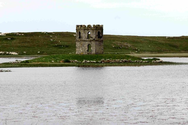
Scolpaig Tower

Scolpaig Tower (also known as Dùn Scolpaig or MacLeod’s Folly) is a Georgian folly located near the village of Scolpaig on the island of North Uist in...

Eilean Dòmhnuill

Ian Armit identifies the islet of Eilean Dòmhnuill (Scottish Gaelic: Eilean Dòmhnaill, Scottish Gaelic pronunciation: [elan ˈt̪õː.ɪʎ], "The Isle of Donald...

Vallay

Vallay (Scottish Gaelic: Bhàlaigh) is an uninhabited tidal island in the Scottish Outer Hebrides. It can be reached from North Uist by a long beach at...

Nearby Amenities

Located within 500m of 57.662738,-7.481171
Created By: dmgroom_coastlines
Source: PGS
Lat/Long: 57.65936/-7.48648
Created By: dmgroom_coastlines
Source: PGS
Lat/Long: 57.65987/-7.48646
Created By: dmgroom_coastlines
Source: PGS
Lat/Long: 57.65974/-7.48599
Created By: dmgroom_coastlines
Source: PGS
Lat/Long: 57.65961/-7.48552
Created By: dmgroom_coastlines
Source: PGS
Lat/Long: 57.66012/-7.4855
Created By: dmgroom_coastlines
Source: PGS
Lat/Long: 57.66023/-7.48454
Source: PGS
Lat/Long: 57.6606535/-7.485173
Source: PGS
Lat/Long: 57.6611735/-7.485383
Source: PGS
Lat/Long: 57.6610535/-7.486353
Source: PGS
Lat/Long: 57.6609335/-7.487303
Source: PGS
Lat/Long: 57.6611935/-7.487053
Source: PGS
Lat/Long: 57.6622135/-7.486773
Source: PGS
Lat/Long: 57.6623335/-7.485813
Source: PGS
Lat/Long: 57.6625735/-7.484853
Source: PGS
Lat/Long: 57.6628135/-7.483883
Source: PGS
Lat/Long: 57.6629235/-7.482443
Source: PGS
Lat/Long: 57.6634335/-7.482423
Source: PGS
Lat/Long: 57.6632935/-7.481473
Source: PGS
Lat/Long: 57.6631635/-7.480533
Source: PGS
Lat/Long: 57.6629135/-7.480773
Source: PGS
Lat/Long: 57.6626535/-7.481023
Source: PGS
Lat/Long: 57.6625035/-7.479123
Source: PGS
Lat/Long: 57.6624935/-7.478643
Source: PGS
Lat/Long: 57.6627435/-7.477673
Source: PGS
Lat/Long: 57.6628535/-7.476713
Source: PGS
Lat/Long: 57.6632835/-7.476863
Source: PGS
Lat/Long: 57.6633735/-7.477183
Source: PGS
Lat/Long: 57.6636435/-7.477163
Source: PGS
Lat/Long: 57.6636235/-7.476683
Source: PGS
Lat/Long: 57.6634535/-7.476523
Source: PGS
Lat/Long: 57.6632335/-7.476223
Source: PGS
Lat/Long: 57.6630935/-7.474793
Source: PGS
Lat/Long: 57.6625735/-7.474813
Source: PGS
Lat/Long: 57.6626935/-7.473853
Source: PGS
Lat/Long: 57.6628135/-7.472893
Source: PGS
Lat/Long: 57.6623035/-7.473153
Source: PGS
Lat/Long: 57.6620535/-7.473403
Eilean nan Gillean
Natural: cape
Lat/Long: 57.6627157/-7.4836352
The data included in this document is from www.openstreetmap.org. The data is made available under ODbL.

Have you been to Eilean nan Gillean?

Leave your review of Eilean nan Gillean below (or comments, questions and feedback).