Rubha Mhìcheil
Coastal Feature, Headland, Point in Inverness-shire
Scotland
Rubha Mhìcheil
The requested URL returned error: 429 Too Many Requests
If you have any feedback on the listing, please let us know in the comments section below.
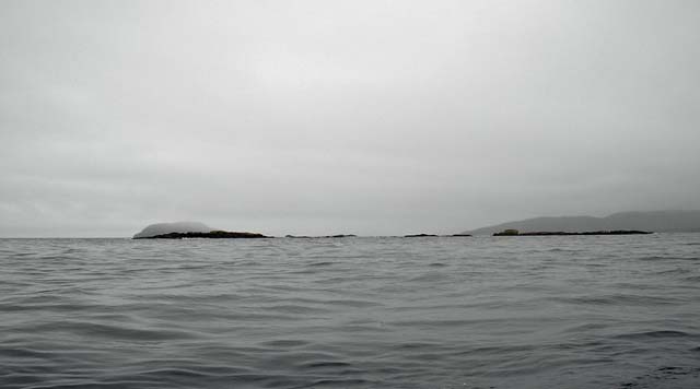
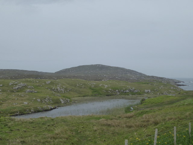
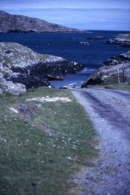
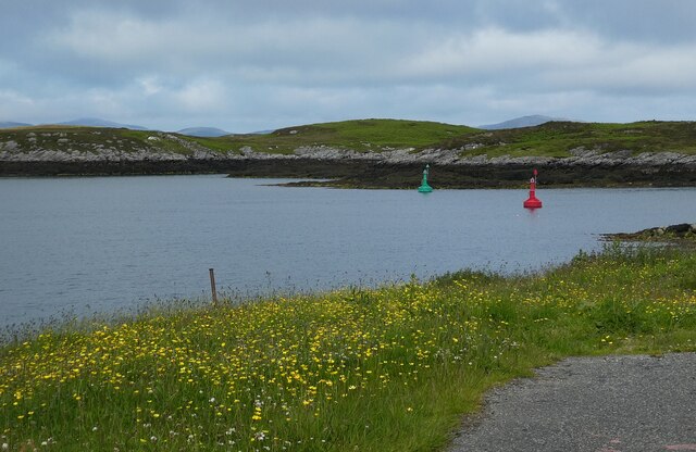
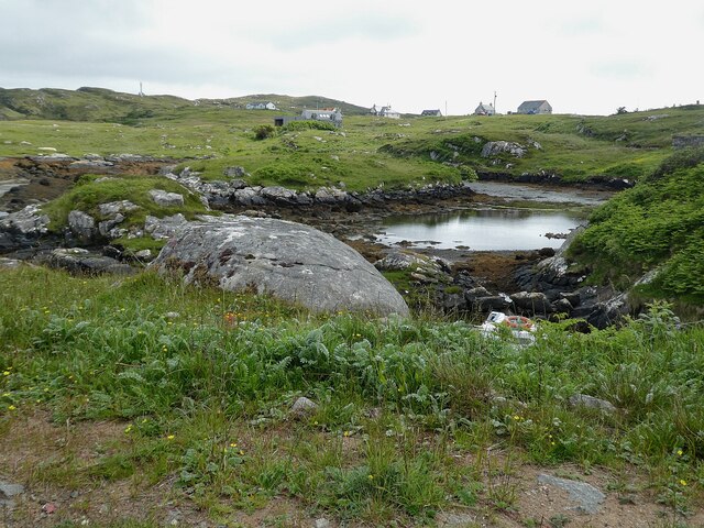
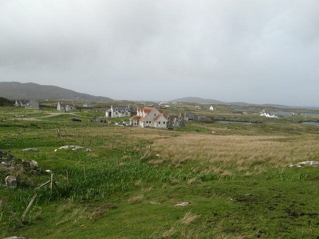
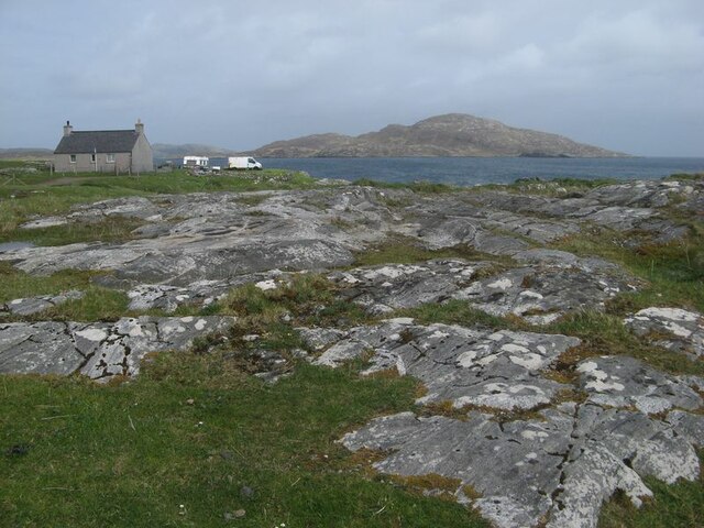
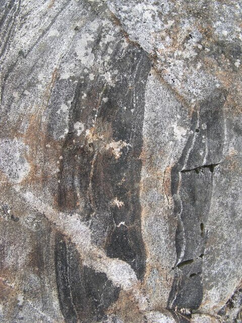
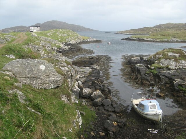
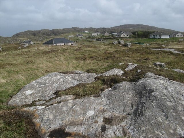
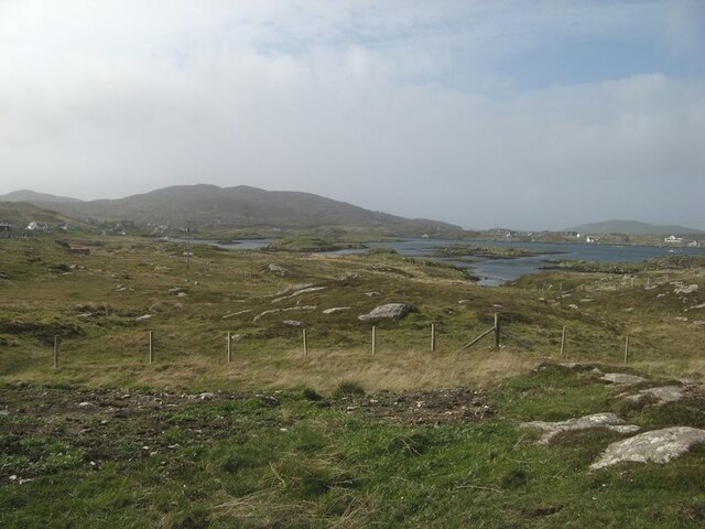
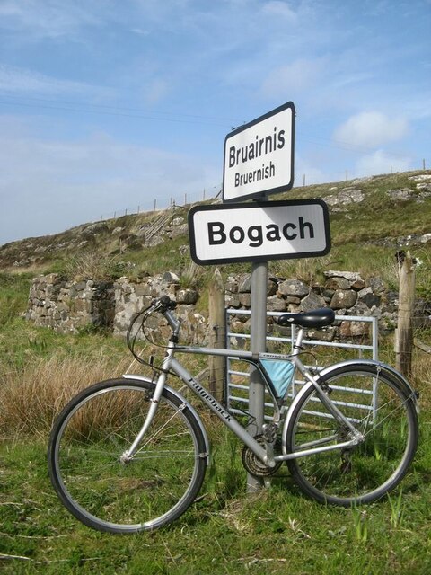
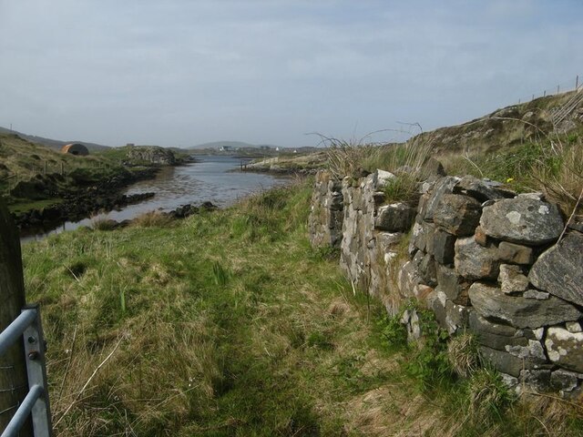
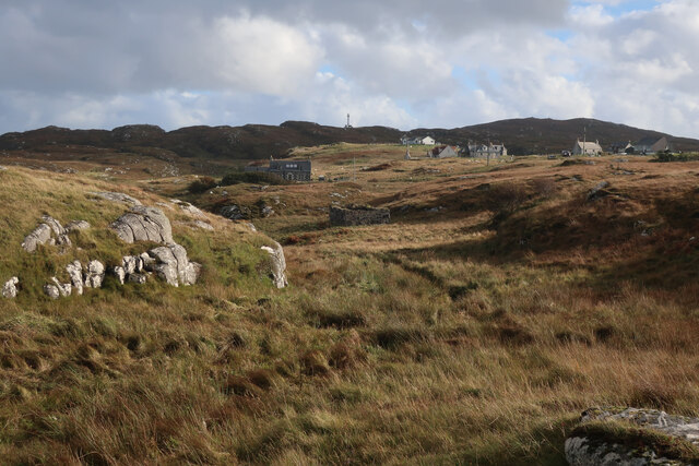
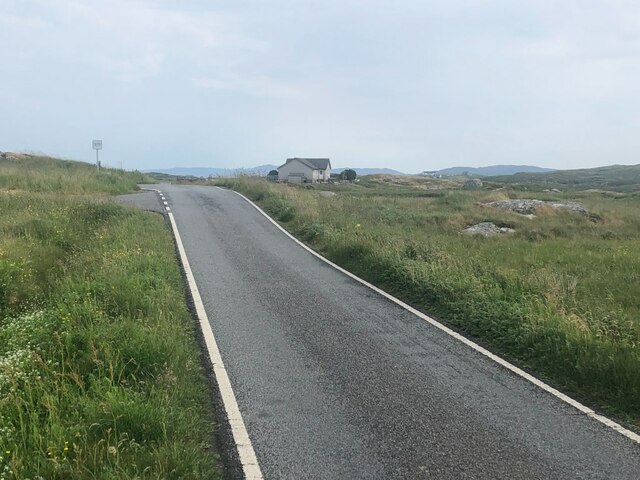
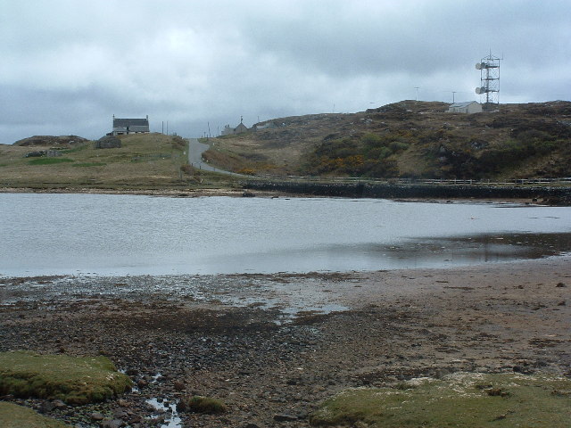
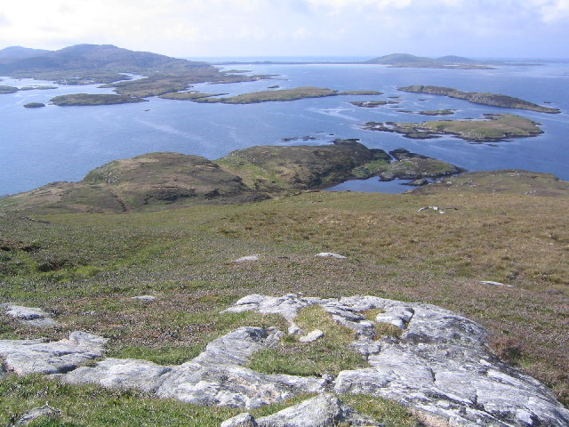
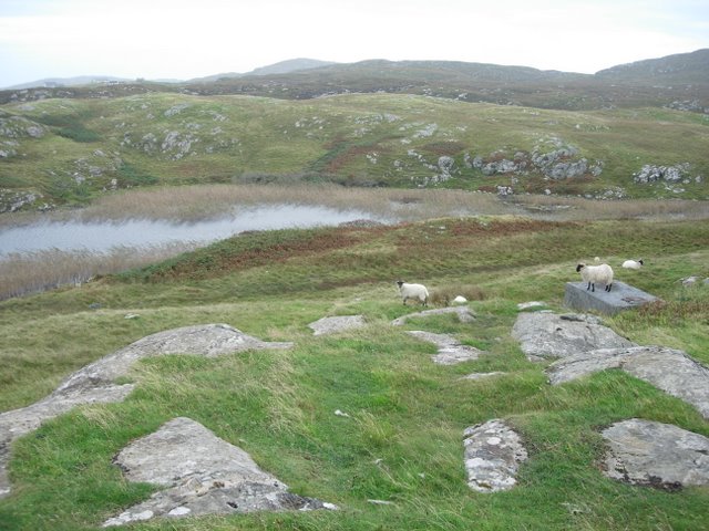
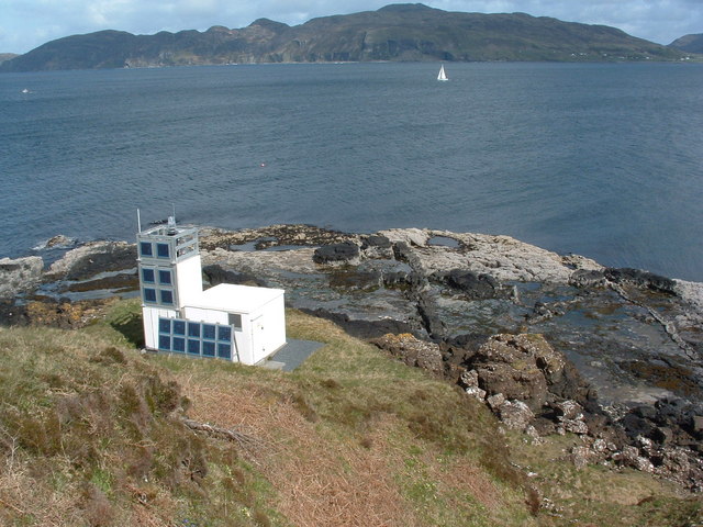
Rubha Mhìcheil Images
Images are sourced within 2km of 56.989587/-7.3822568 or Grid Reference NF7301. Thanks to Geograph Open Source API. All images are credited.
Rubha Mhìcheil is located at Grid Ref: NF7301 (Lat: 56.989587, Lng: -7.3822568)
Unitary Authority: Na h-Eileanan an Iar
Police Authority: Highlands and Islands
What 3 Words
///tent.frozen.firelight. Near CastleBay, Na h-Eileanan Siar
Nearby Locations
Related Wikis

Fuiay
Fuiay (Scottish Gaelic: Fùidheigh) is an island in Scotland. It is one of ten islands in the Sound of Barra, a Site of Community Importance for conservation...

Flodday (Sound of Barra)
Flodday or Flodaigh (Scottish Gaelic), is a currently uninhabited island that lies to the north east of Barra and is one of ten islands in the Sound of...

Bogach
Bogach (Scottish Gaelic: A' Bhogach) is a village on the island of Barra in the Outer Hebrides, Scotland. Bogach is also within the parish of Barra, and...
Ardmore, Barra
Ardmhor (Scottish Gaelic: Aird Mhòr) is a small village in the north east of the Isle of Barra in the Outer Hebrides, Scotland. In 2002 a small ferry port...
Have you been to Rubha Mhìcheil?
Leave your review of Rubha Mhìcheil below (or comments, questions and feedback).