Alexander Wood

Wood, Forest in Suffolk East Suffolk

England

Alexander Wood

Thorpeness: The Meare
Thorpeness: The Meare Credit: Andy Stephenson

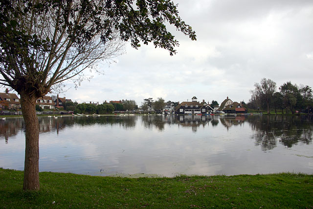
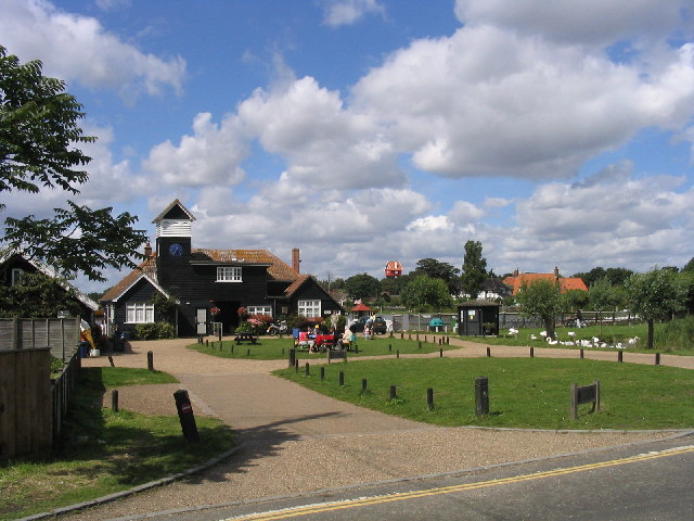
Alexander Wood, Suffolk is a small village located in the county of Suffolk, England. Nestled within the enchanting Suffolk countryside, this village is known for its picturesque landscapes and peaceful atmosphere. It falls under the administrative jurisdiction of the Babergh district.

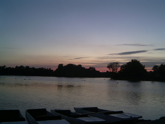
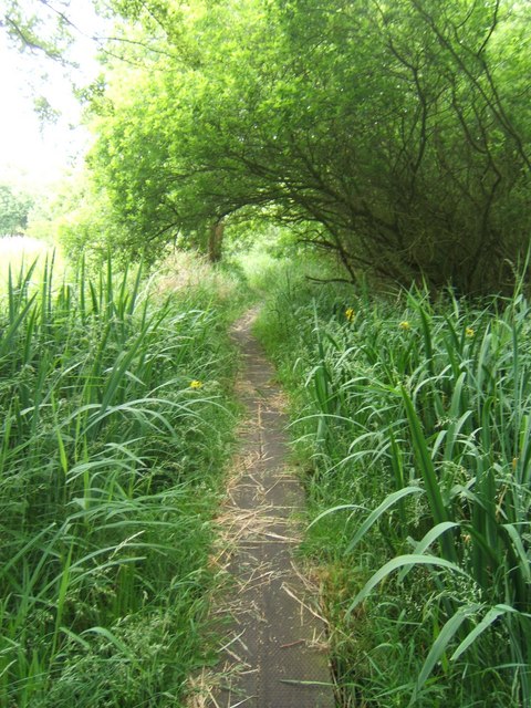
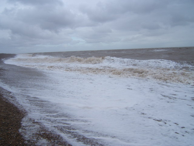
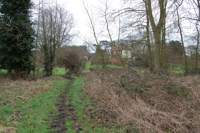
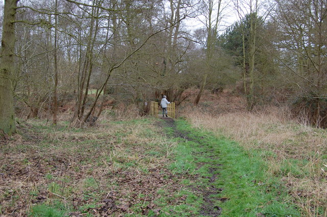
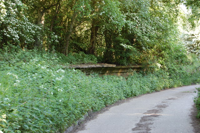
The village takes its name from the prominent Wood family, who were once notable landowners in the area. Surrounded by lush forests and woodlands, Alexander Wood offers residents and visitors an idyllic setting for outdoor activities such as hiking, cycling, and nature walks. The village is also home to a variety of wildlife, including deer, rabbits, and a diverse range of bird species.

The architecture in Alexander Wood showcases a mix of traditional and modern buildings. Historic cottages and farmhouses can be seen alongside more contemporary houses, blending seamlessly to create a charming village aesthetic. The community spirit is strong in this close-knit village, with residents actively participating in local events and initiatives.

Despite its tranquil ambiance, Alexander Wood is conveniently close to several amenities. The nearby market town of Sudbury provides access to a range of shops, restaurants, and leisure facilities. Additionally, the village benefits from excellent transport links, with major roads and rail connections easily accessible.

In summary, Alexander Wood, Suffolk is a charming village that offers its residents and visitors a tranquil escape from the hustle and bustle of city life. With its beautiful landscapes, diverse wildlife, and strong community spirit, it is a place where nature and modern living seamlessly coexist.

If you have any feedback on the listing, please let us know in the comments section below.

Alexander Wood Images

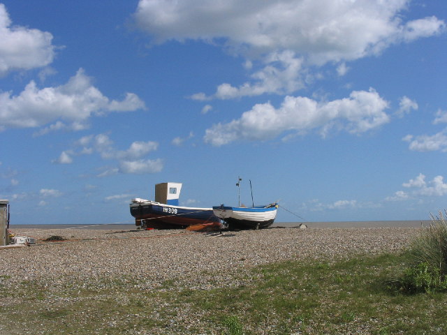
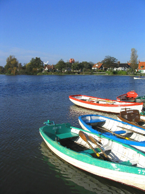
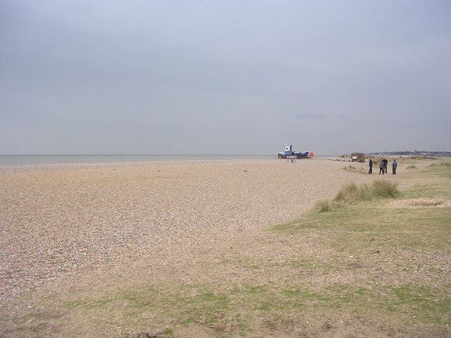
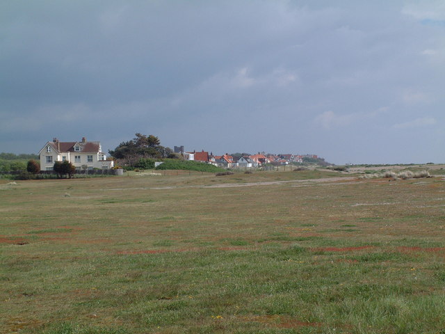
Images are sourced within 2km of 52.18795/1.6038983 or Grid Reference TM4660. Thanks to Geograph Open Source API. All images are credited.

Thorpeness: The Meare
Windmill, Thorpeness, Suffolk
The House in the Clouds, near Thorpeness The House in the Clouds was built in 1923 as the Thorpeness water tower, disguised as a house to avoid it being an eyesore.  Originally it was a five storey house underneath the water tank, which itself was hidden by enclosing it in a house-like structure complete with pitched roof. Later, when Thorpeness was linked to a mains water supply, the tank inside was dismantled and the space turned into additional living accommodation making the house you see today.
The House in the Clouds, near Thorpeness
The House in the Clouds was built in 1923 as the Thorpeness water tower, disguised as a house to avoid it being an eyesore. Originally it was a five storey house underneath the water tank, which itself was hidden by enclosing it in a house-like structure complete with pitched roof. Later, when Thorpeness was linked to a mains water supply, the tank inside was dismantled and the space turned into additional living accommodation making the house you see today.
The Boathouse, Thorpeness, Suffolk Most of Thorpeness was built in 1920s as a holiday village. The boathouse serves The Meare (a boating lake) just visible in the background.
The Boathouse, Thorpeness, Suffolk
Most of Thorpeness was built in 1920s as a holiday village. The boathouse serves The Meare (a boating lake) just visible in the background.
Fishing boats, Thorpeness Beach, Suffolk
Moth Sculpture One of a series of sculptures along the Sandlings Walk.
Moth Sculpture
One of a series of sculptures along the Sandlings Walk.
The Meare, Thorpeness, Suffolk Looking west with the windmill and the 'house in the clouds' on the skyline.
The Meare, Thorpeness, Suffolk
Looking west with the windmill and the 'house in the clouds' on the skyline.
Beach at Thorpeness, Suffolk
The Haven What little of this grid square is not at sea lies to the east (right) of Haven House seen at the left of this photograph. Thorpeness is in the distance. Kite flying is banned on The Haven between 1 May and 1 August in order not to frighten away the ground nesting birds such as the ringed plover and skylark which frequent the short rough ground cover shown in the foreground.
The Haven
What little of this grid square is not at sea lies to the east (right) of Haven House seen at the left of this photograph. Thorpeness is in the distance. Kite flying is banned on The Haven between 1 May and 1 August in order not to frighten away the ground nesting birds such as the ringed plover and skylark which frequent the short rough ground cover shown in the foreground.
Sunset At Thorpeness Meare An unusual feature about this mere is that punts, seen in the foreground, are hired out as well as rowing boats.
Sunset At Thorpeness Meare
An unusual feature about this mere is that punts, seen in the foreground, are hired out as well as rowing boats.
Footpath crossing Looking along the line of a footpath crossing the Sandlings Walk, which runs from left to right. See <a href="https://www.geograph.org.uk/photo/66499">TM4559 : Moth Sculpture</a>
Footpath crossing
Looking along the line of a footpath crossing the Sandlings Walk, which runs from left to right. See TM4559 : Moth Sculpture
Footbridge over stream
Footpath The footpath across this marshy area is made of old railway sleepers laid end to end.
Footpath
The footpath across this marshy area is made of old railway sleepers laid end to end.
Footpath junction near Thorpeness The path running left to right follows the course of a dismantled railway. The remains of a level crossing gate are still embedded in the hedge straight ahead.
Footpath junction near Thorpeness
The path running left to right follows the course of a dismantled railway. The remains of a level crossing gate are still embedded in the hedge straight ahead.
North Warren RSPB Conservation area near B1122
The sea in winter at Thorpeness
Footpath leading to Bird's Farm, Aldringham
Footbridge over Hundred River , Aldringham
Show me another place!

Alexander Wood is located at Grid Ref: TM4660 (Lat: 52.18795, Lng: 1.6038983)

Administrative County: Suffolk

District: East Suffolk

Police Authority: Suffolk

What 3 Words

///lived.kitchens.defensive. Near Leiston, Suffolk

Related Wikis

Thorpeness railway station

Thorpeness railway station served the seaside resort of Thorpeness in Suffolk, England. It was opened in 1914 by the Great Eastern Railway on its 8.5-mile...
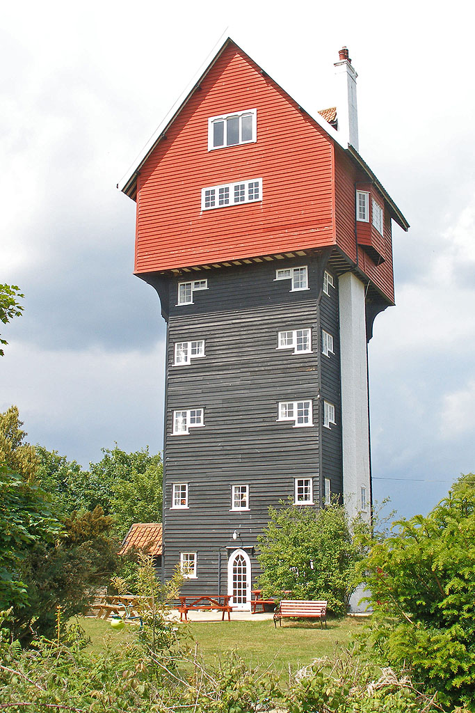
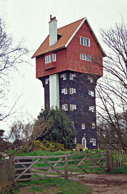
House in the Clouds

The House in the Clouds is a water tower built to incorporate a residential home, in Thorpeness, Suffolk, England. The structure was built in 1923 to receive...
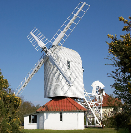
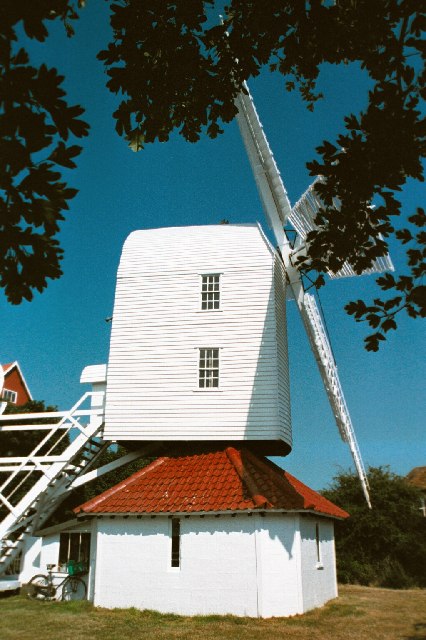
Thorpeness Windmill

Thorpeness Windmill is a Grade II listed post mill at Thorpeness, Suffolk, England which was built in 1803 at Aldringham and moved to Thorpeness in 1923...
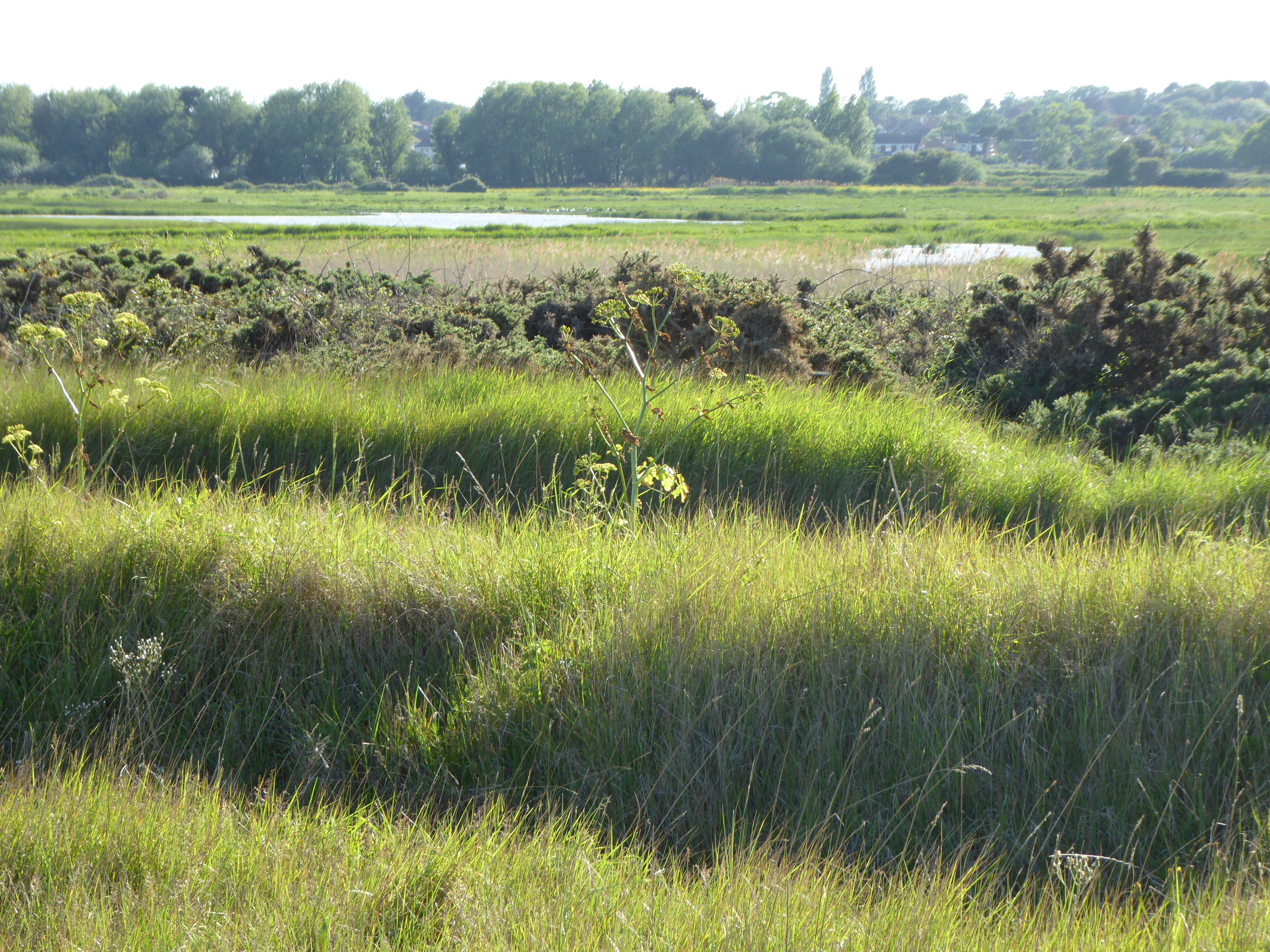
Leiston - Aldeburgh

Leiston - Aldeburgh is a 534.8-hectare (1,322-acre) biological Site of Special Scientific Interest which stretches from Aldeburgh to Leiston in Suffolk...

Nearby Amenities

Located within 500m of 52.18795,1.6038983
Thorpeness Halt
Abandoned Railway: station
Railway: site
Wikidata: Q7796727
Wikipedia: en:Thorpeness railway station
Lat/Long: 52.1873407/1.600309
Railway: crossing
Lat/Long: 52.1870615/1.6000661
The data included in this document is from www.openstreetmap.org. The data is made available under ODbL.

Have you been to Alexander Wood?

Leave your review of Alexander Wood below (or comments, questions and feedback).