Margaret Wood

Wood, Forest in Suffolk East Suffolk

England

Margaret Wood

Thorpeness: The Meare
Thorpeness: The Meare Credit: Andy Stephenson

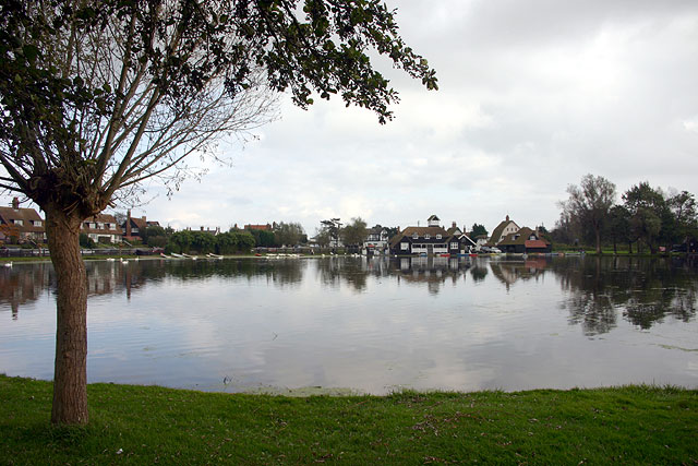
Margaret Wood, Suffolk, also known as Wood or Forest, is a picturesque rural area located in the county of Suffolk, England. Situated in the eastern part of the country, it is known for its abundant woodlands and natural beauty.

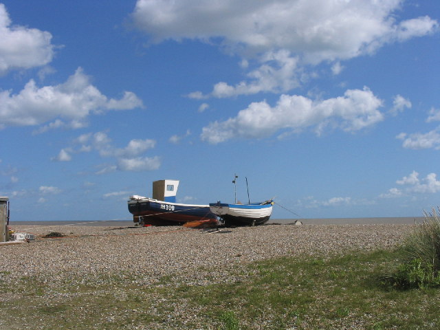
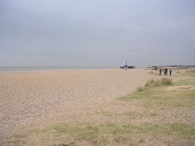
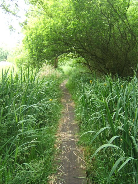
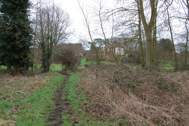
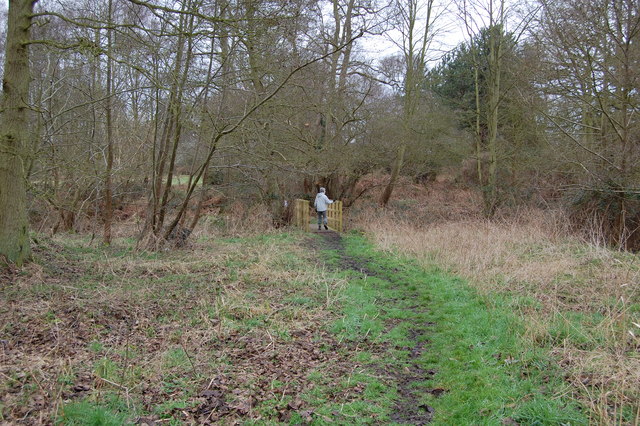
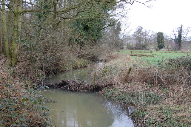
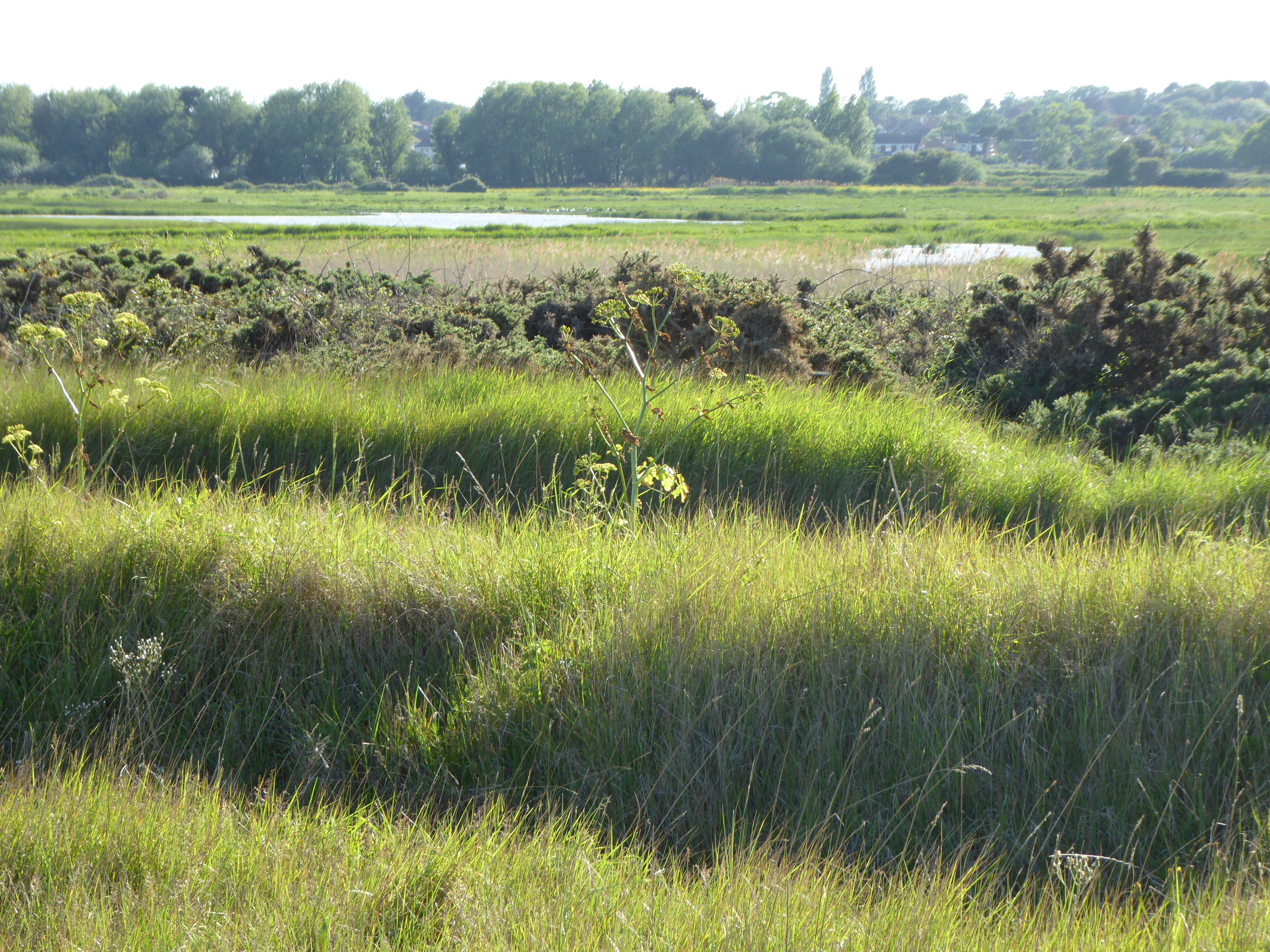
Covering an area of roughly 100 square miles, Margaret Wood is home to a diverse range of flora and fauna. The woodlands, characterized by a mix of deciduous and coniferous trees, provide a habitat for various wildlife species including deer, foxes, and numerous bird species. The area is a haven for nature enthusiasts and offers ample opportunities for hiking, birdwatching, and exploring the outdoors.

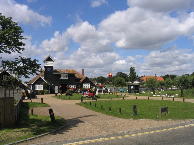
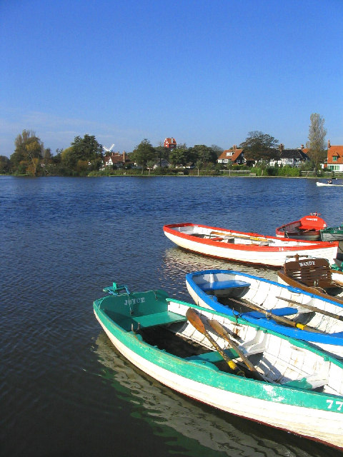
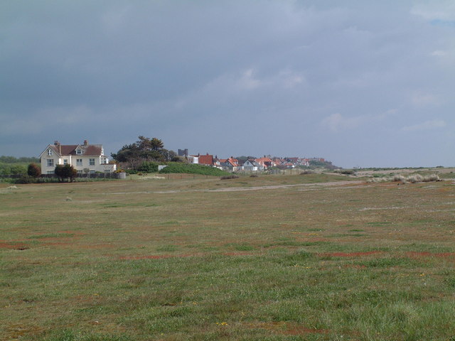
The region is dotted with charming villages and small hamlets, each with its own unique character. These settlements are often surrounded by rolling hills and meandering rivers, adding to the overall scenic beauty of the area. The local communities in Margaret Wood are known for their friendly and welcoming nature, and visitors can often find traditional pubs and quaint tea rooms to enjoy a taste of the local culture.

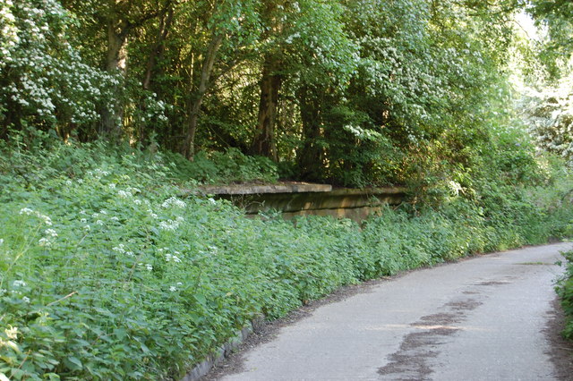
Although predominantly rural, Margaret Wood is conveniently located near larger towns and cities, providing residents with easy access to amenities and services. The area has a rich history, with evidence of human habitation dating back thousands of years. Visitors can explore historic sites such as ancient burial mounds, medieval churches, and remnants of old fortifications.

Margaret Wood, Suffolk, with its idyllic countryside, rich wildlife, and historical charm, offers a peaceful retreat for those seeking a break from the hustle and bustle of modern life.

If you have any feedback on the listing, please let us know in the comments section below.

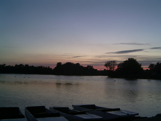
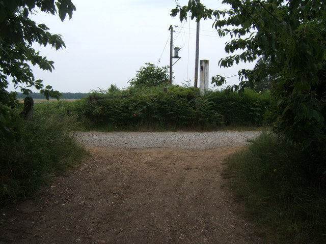
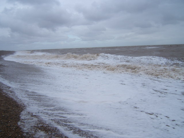
Margaret Wood Images

Images are sourced within 2km of 52.189783/1.6080714 or Grid Reference TM4660. Thanks to Geograph Open Source API. All images are credited.

Thorpeness: The Meare
Windmill, Thorpeness, Suffolk
The House in the Clouds, near Thorpeness The House in the Clouds was built in 1923 as the Thorpeness water tower, disguised as a house to avoid it being an eyesore.  Originally it was a five storey house underneath the water tank, which itself was hidden by enclosing it in a house-like structure complete with pitched roof. Later, when Thorpeness was linked to a mains water supply, the tank inside was dismantled and the space turned into additional living accommodation making the house you see today.
The House in the Clouds, near Thorpeness
The House in the Clouds was built in 1923 as the Thorpeness water tower, disguised as a house to avoid it being an eyesore. Originally it was a five storey house underneath the water tank, which itself was hidden by enclosing it in a house-like structure complete with pitched roof. Later, when Thorpeness was linked to a mains water supply, the tank inside was dismantled and the space turned into additional living accommodation making the house you see today.
The Boathouse, Thorpeness, Suffolk Most of Thorpeness was built in 1920s as a holiday village. The boathouse serves The Meare (a boating lake) just visible in the background.
The Boathouse, Thorpeness, Suffolk
Most of Thorpeness was built in 1920s as a holiday village. The boathouse serves The Meare (a boating lake) just visible in the background.
Fishing boats, Thorpeness Beach, Suffolk
Moth Sculpture One of a series of sculptures along the Sandlings Walk.
Moth Sculpture
One of a series of sculptures along the Sandlings Walk.
The Meare, Thorpeness, Suffolk Looking west with the windmill and the 'house in the clouds' on the skyline.
The Meare, Thorpeness, Suffolk
Looking west with the windmill and the 'house in the clouds' on the skyline.
Beach at Thorpeness, Suffolk
The Haven What little of this grid square is not at sea lies to the east (right) of Haven House seen at the left of this photograph. Thorpeness is in the distance. Kite flying is banned on The Haven between 1 May and 1 August in order not to frighten away the ground nesting birds such as the ringed plover and skylark which frequent the short rough ground cover shown in the foreground.
The Haven
What little of this grid square is not at sea lies to the east (right) of Haven House seen at the left of this photograph. Thorpeness is in the distance. Kite flying is banned on The Haven between 1 May and 1 August in order not to frighten away the ground nesting birds such as the ringed plover and skylark which frequent the short rough ground cover shown in the foreground.
Sunset At Thorpeness Meare An unusual feature about this mere is that punts, seen in the foreground, are hired out as well as rowing boats.
Sunset At Thorpeness Meare
An unusual feature about this mere is that punts, seen in the foreground, are hired out as well as rowing boats.
Footpath crossing Looking along the line of a footpath crossing the Sandlings Walk, which runs from left to right. See <a href="https://www.geograph.org.uk/photo/66499">TM4559 : Moth Sculpture</a>
Footpath crossing
Looking along the line of a footpath crossing the Sandlings Walk, which runs from left to right. See TM4559 : Moth Sculpture
Footbridge over stream
Footpath The footpath across this marshy area is made of old railway sleepers laid end to end.
Footpath
The footpath across this marshy area is made of old railway sleepers laid end to end.
Footpath junction near Thorpeness The path running left to right follows the course of a dismantled railway. The remains of a level crossing gate are still embedded in the hedge straight ahead.
Footpath junction near Thorpeness
The path running left to right follows the course of a dismantled railway. The remains of a level crossing gate are still embedded in the hedge straight ahead.
The sea in winter at Thorpeness
Footpath leading to Bird's Farm, Aldringham
Footbridge over Hundred River , Aldringham
Hundred River, Aldringham
Show me another place!

Margaret Wood is located at Grid Ref: TM4660 (Lat: 52.189783, Lng: 1.6080714)

Administrative County: Suffolk

District: East Suffolk

Police Authority: Suffolk

What 3 Words

///teardrop.goggle.headline. Near Leiston, Suffolk

Related Wikis

Thorpeness railway station

Thorpeness railway station served the seaside resort of Thorpeness in Suffolk, England. It was opened in 1914 by the Great Eastern Railway on its 8.5-mile...
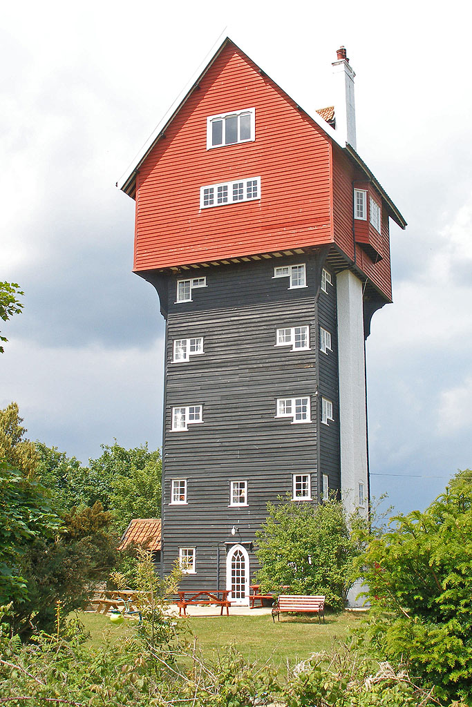
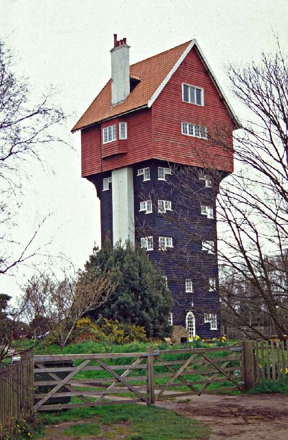
House in the Clouds

The House in the Clouds is a water tower built to incorporate a residential home, in Thorpeness, Suffolk, England. The structure was built in 1923 to receive...
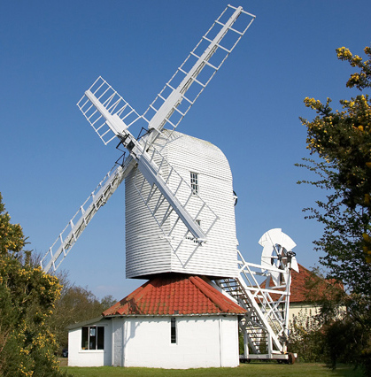
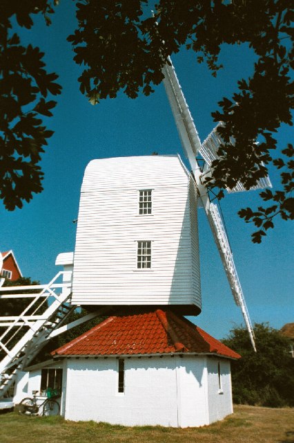
Thorpeness Windmill

Thorpeness Windmill is a Grade II listed post mill at Thorpeness, Suffolk, England which was built in 1803 at Aldringham and moved to Thorpeness in 1923...

Leiston - Aldeburgh

Leiston - Aldeburgh is a 534.8-hectare (1,322-acre) biological Site of Special Scientific Interest which stretches from Aldeburgh to Leiston in Suffolk...

Have you been to Margaret Wood?

Leave your review of Margaret Wood below (or comments, questions and feedback).