Scarlsgrove Belt
Wood, Forest in Suffolk East Suffolk
England
Scarlsgrove Belt

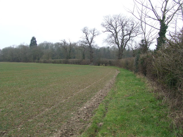
Scarlsgrove Belt is a picturesque woodland area located in Suffolk, England. Covering an area of approximately 500 acres, it is widely regarded as one of the most beautiful forests in the region. The belt is part of the larger Scarlsgrove Estate, which has been in existence since the 17th century.
The woodland consists primarily of native tree species such as oak, beech, and ash, creating a rich and diverse ecosystem. The dense canopy provides shelter for a wide variety of bird species, including woodpeckers, owls, and thrushes, making it a popular spot for birdwatchers.
Visitors to Scarlsgrove Belt can enjoy a network of well-maintained footpaths and trails that crisscross the forest, allowing for leisurely walks and hikes. The peaceful ambiance and natural beauty of the area make it an ideal destination for nature enthusiasts and those seeking tranquility.
Throughout the year, the forest displays a stunning array of colors. In spring, bluebells carpet the forest floor, creating a vibrant and enchanting spectacle. In autumn, the leaves of the trees turn brilliant shades of red, orange, and gold, providing a breathtaking display.
Scarlsgrove Belt is also home to a variety of wildlife, including deer, foxes, and squirrels. Nature lovers can spot these animals in their natural habitat, adding to the allure of the woodland.
Overall, Scarlsgrove Belt in Suffolk is a captivating and idyllic forest that offers visitors a chance to immerse themselves in the beauty of nature and escape the hustle and bustle of everyday life.
If you have any feedback on the listing, please let us know in the comments section below.
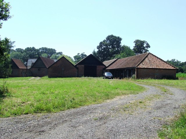
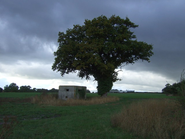
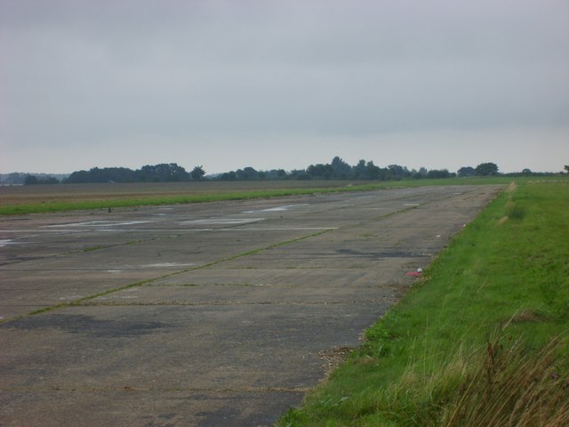
Scarlsgrove Belt Images
Images are sourced within 2km of 52.414492/1.622389 or Grid Reference TM4685. Thanks to Geograph Open Source API. All images are credited.


Scarlsgrove Belt is located at Grid Ref: TM4685 (Lat: 52.414492, Lng: 1.622389)
Administrative County: Suffolk
District: East Suffolk
Police Authority: Suffolk
What 3 Words
///dandelions.contact.rezoning. Near Kessingland, Suffolk
Nearby Locations
Related Wikis
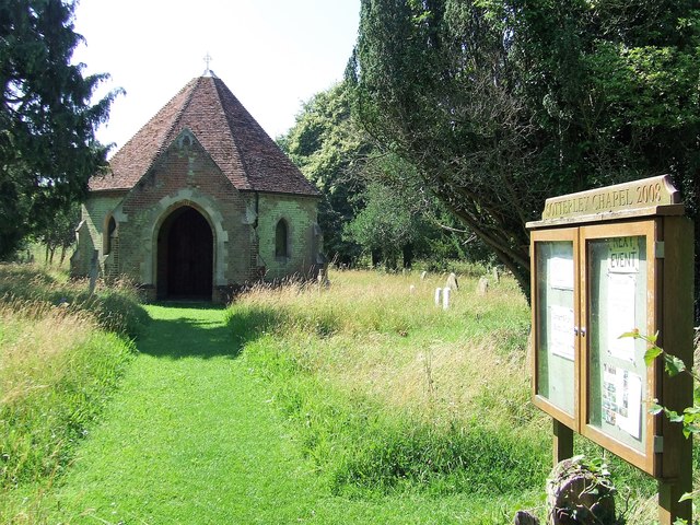
Sotterley Park
Sotterley Park is a 123.2-hectare (304-acre) biological Site of Special Scientific Interest in Sotterley in Suffolk. It is a Nature Conservation Review...

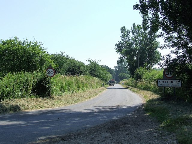
Sotterley
Sotterley, originally Southern-lea from its situation south of the river, is a village and civil parish in the East Suffolk district, in the English county...

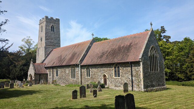
Willingham St Mary
Willingham St Mary, also known simply as Willingham, is a village and civil parish in the English county of Suffolk located about 3.5 miles (6 km) south...

Ellough
Ellough is a civil parish in the East Suffolk district of the English county of Suffolk, located approximately 3 miles (5 km) south-east of Beccles. The...
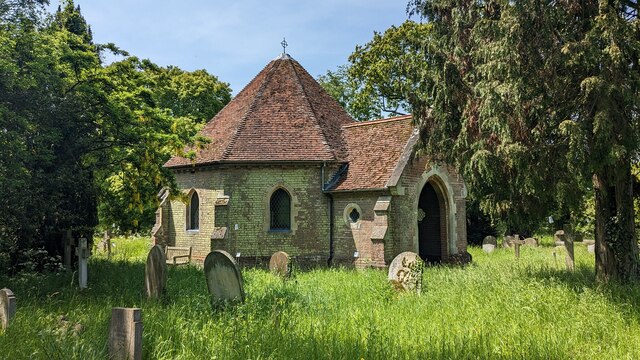
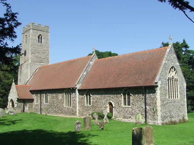
All Saints Church, Ellough
All Saints Church is a redundant Anglican church in the parish of Ellough, Suffolk, England. The church is medieval in origin and is recorded in the National...
Beccles Airfield
Beccles Airfield, also known as Beccles Airport or Beccles Aerodrome (ICAO: EGSM), is located in Ellough, 2 NM (3.7 km; 2.3 mi) southeast of Beccles in...

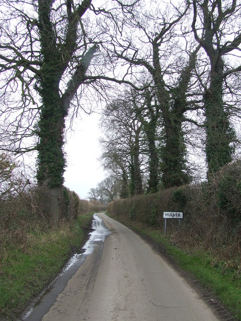
Henstead with Hulver Street
Henstead with Hulver Street is a civil parish in the East Suffolk district of the English county of Suffolk. It is around 5 miles (8.0 km) south-west of...

Ellough Park Raceway
Ellough Park Raceway is a kart racing track in Ellough in the English county of Suffolk. It is located around 2 miles (3 km) south-east of the market town...
Nearby Amenities
Located within 500m of 52.414492,1.622389Have you been to Scarlsgrove Belt?
Leave your review of Scarlsgrove Belt below (or comments, questions and feedback).