Alexandra Wood
Wood, Forest in Suffolk East Suffolk
England
Alexandra Wood
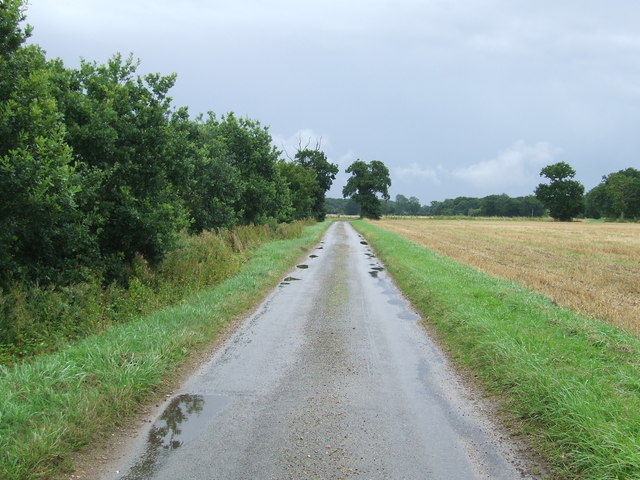
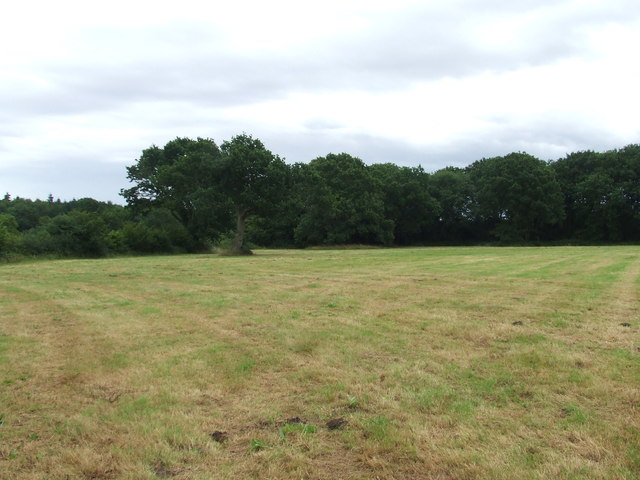
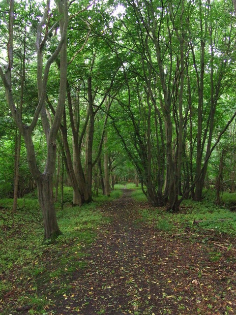
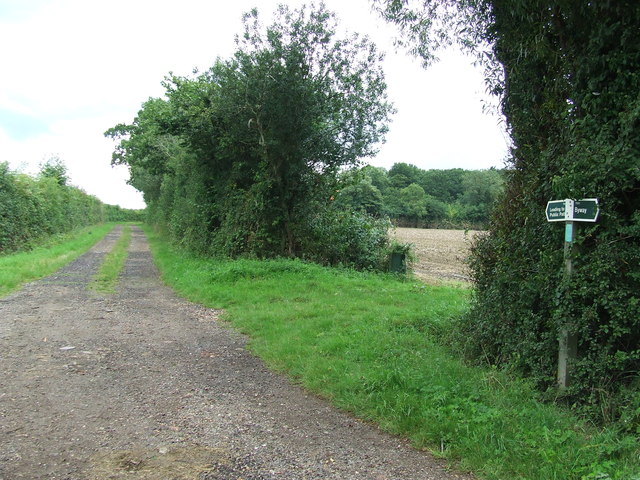
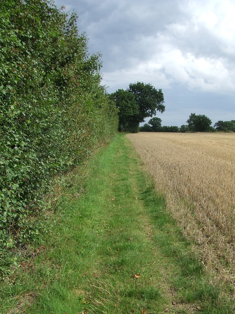
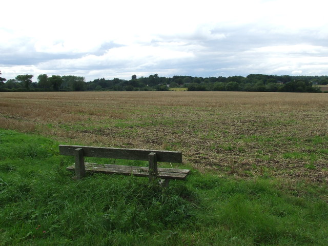
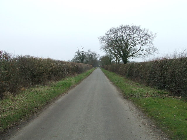
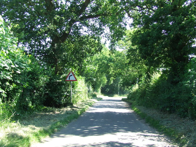
Alexandra Wood, also known as Suffolk Wood or simply Wood, is a beautiful forest located in Suffolk, England. Spanning an area of approximately 1,200 hectares, it is one of the largest and most diverse woodlands in the region. The forest is situated near the village of Alexandra and is easily accessible by road.
The woodland is characterized by a mix of deciduous and coniferous trees, creating a rich and varied ecosystem. It is home to a wide range of wildlife, including deer, foxes, badgers, and numerous bird species. Walking through the forest, visitors can spot ancient oak trees, towering pines, and vibrant wildflowers, creating a picturesque and serene environment.
Alexandra Wood offers a multitude of recreational activities for nature enthusiasts and outdoor lovers. There are several well-marked trails that wind through the forest, providing opportunities for hiking, jogging, and cycling. The forest also has designated picnic areas, making it a popular spot for families and groups to enjoy a day out in nature.
For those interested in wildlife observation, Alexandra Wood offers excellent birdwatching opportunities. The forest attracts a variety of bird species, including woodpeckers, owls, and various songbirds. Additionally, the forest is home to several rare plant species, making it a haven for botany enthusiasts.
Overall, Alexandra Wood in Suffolk is a stunning and diverse forest, offering a tranquil escape from the bustling city life. With its breathtaking scenery, abundant wildlife, and recreational activities, it is a popular destination for both locals and tourists seeking a connection with nature.
If you have any feedback on the listing, please let us know in the comments section below.
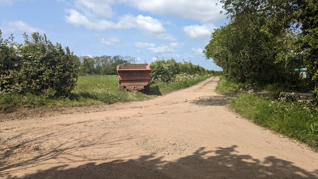
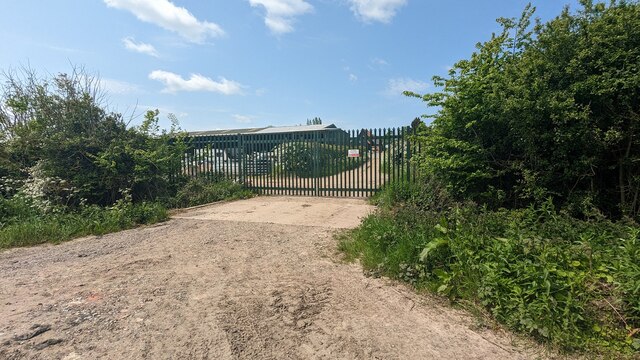
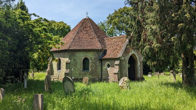
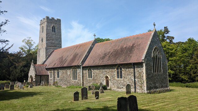
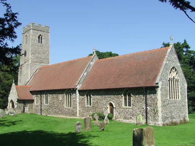
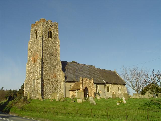
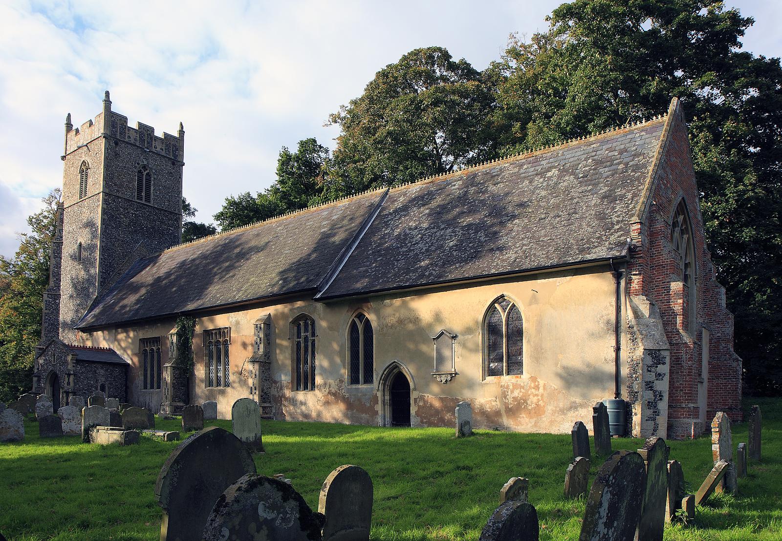
Alexandra Wood Images
Images are sourced within 2km of 52.394877/1.6070479 or Grid Reference TM4583. Thanks to Geograph Open Source API. All images are credited.

Alexandra Wood is located at Grid Ref: TM4583 (Lat: 52.394877, Lng: 1.6070479)
Administrative County: Suffolk
District: East Suffolk
Police Authority: Suffolk
What 3 Words
///snowy.rivals.coasted. Near Kessingland, Suffolk
Nearby Locations
Related Wikis

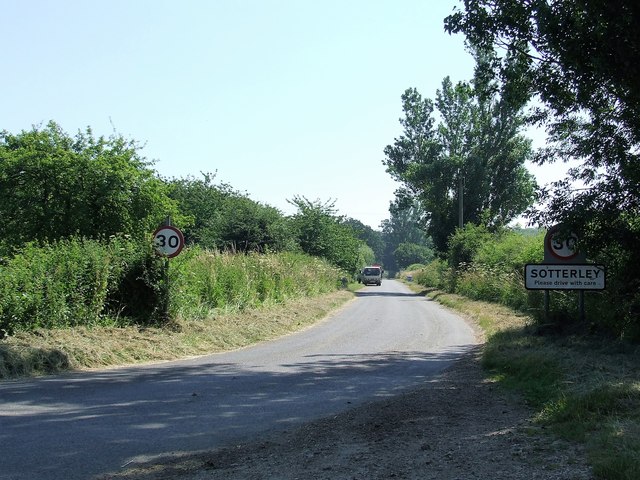
Sotterley
Sotterley, originally Southern-lea from its situation south of the river, is a village and civil parish in the East Suffolk district, in the English county...
Sotterley Park
Sotterley Park is a 123.2-hectare (304-acre) biological Site of Special Scientific Interest in Sotterley in Suffolk. It is a Nature Conservation Review...
Shadingfield
Shadingfield is a village and civil parish in the East Suffolk district of the English county of Suffolk. It is located around 4 miles (6.4 km) south of...

Stoven
Stoven is a village and former civil parish now in the parish of Brampton with Stoven, in the East Suffolk district of the English county of Suffolk. It...

A145 road
The A145 is an A road in the English county of Suffolk. It runs from east of the town of Beccles, close to the border with Norfolk, to the village of Blythburgh...

Willingham St Mary
Willingham St Mary, also known simply as Willingham, is a village and civil parish in the English county of Suffolk located about 3.5 miles (6 km) south...
Brampton, Suffolk
Brampton is a village and former civil parish, now in the parish of Brampton with Stoven, in the East Suffolk district, in the county of Suffolk, England...

Brampton with Stoven
Brampton with Stoven is a civil parish in the East Suffolk district of the English county of Suffolk. It is located 6 miles (9.7 km) south of the town...
Nearby Amenities
Located within 500m of 52.394877,1.6070479Have you been to Alexandra Wood?
Leave your review of Alexandra Wood below (or comments, questions and feedback).