Lodge Covert
Wood, Forest in Suffolk East Suffolk
England
Lodge Covert
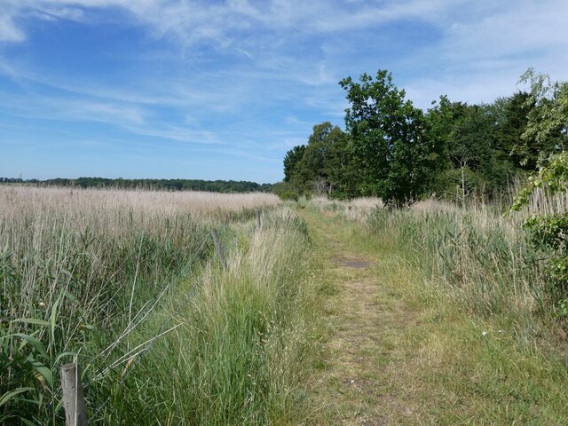
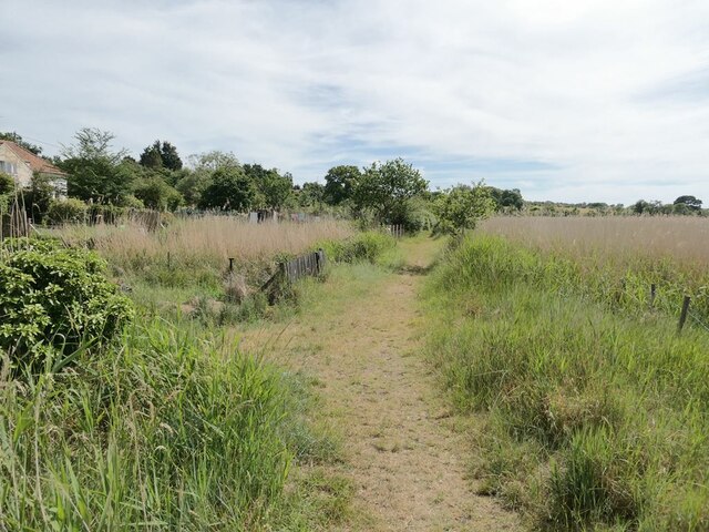
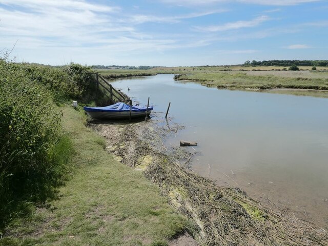
Lodge Covert is a serene woodland area located in Suffolk, England. Situated in the heart of the county, it is known for its picturesque beauty and tranquil atmosphere. The woodland covers a vast area, providing a haven for nature enthusiasts and those seeking solace in the great outdoors.
The forest is rich in biodiversity, with a diverse range of plant and animal species. Towering trees, including oak, beech, and ash, dominate the landscape, creating a dense canopy that filters sunlight and creates a cool, shaded environment. The forest floor is covered in a thick carpet of moss, ferns, and wildflowers, providing a habitat for various small mammals and insects.
Lodge Covert offers a myriad of recreational activities for visitors to enjoy. There are numerous walking trails that wind their way through the woodland, allowing visitors to explore the natural beauty at their own pace. The trails are well-marked and maintained, making them accessible to people of all ages and abilities.
Birdwatchers will also find Lodge Covert to be a haven for avian species. The forest provides a habitat for a diverse range of birds, including woodpeckers, owls, and various songbirds. Binoculars in hand, bird enthusiasts can spend hours spotting and identifying different species in their natural habitat.
For those seeking a peaceful retreat, Lodge Covert offers a few designated picnic areas. Visitors can unwind and enjoy a packed lunch amidst the soothing sounds of chirping birds and rustling leaves.
Lodge Covert is a hidden gem in Suffolk, offering a serene escape from the hustle and bustle of everyday life. It is a place where one can immerse themselves in the beauty of nature and find solace in the peaceful surroundings.
If you have any feedback on the listing, please let us know in the comments section below.
Lodge Covert Images
Images are sourced within 2km of 52.332008/1.6019254 or Grid Reference TM4576. Thanks to Geograph Open Source API. All images are credited.
Lodge Covert is located at Grid Ref: TM4576 (Lat: 52.332008, Lng: 1.6019254)
Administrative County: Suffolk
District: East Suffolk
Police Authority: Suffolk
What 3 Words
///cassettes.attend.acted. Near Southwold, Suffolk
Nearby Locations
Related Wikis

Latitude Festival
Latitude Festival is an annual music and arts festival set within the grounds of Henham Park, near Southwold, Suffolk, England.The first edition of the...
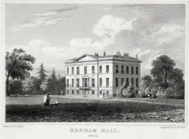
Henham Park
Henham Park is an historic 4,200 acres (1,700 ha) estate in the parish of Wangford with Henham, situated north of the village of Blythburgh in the English...

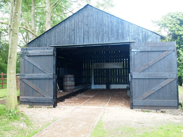
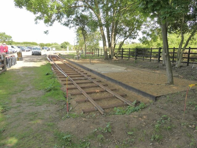
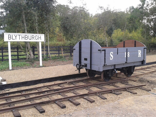
Blythburgh railway station
Blythburgh railway station was located in Blythburgh, Suffolk. The station had two goods sheds. The one shown below is the only remaining building of the...
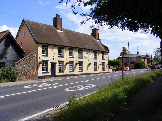
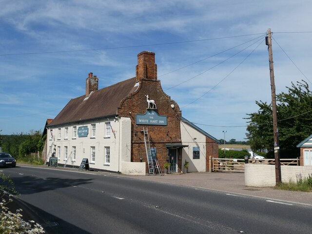
White Hart Inn, Blythburgh
The White Hart Inn is a grade II* listed public house in Blythburgh, Suffolk, England. It is a timber-framed former coaching inn and courthouse that dates...

Southwold Railway
The Southwold Railway was a narrow gauge railway line between Halesworth and Southwold in the English county of Suffolk. 8 miles 63+1⁄2 chains (14.15 km...
Blythburgh Priory
Blythburgh Priory was a medieval monastic house of Augustinian canons, dedicated to the Blessed Virgin Mary, located in the village of Blythburgh in Suffolk...

Blythburgh
Blythburgh is a village and civil parish in the East Suffolk district of the English county of Suffolk. It is 4 miles (6.4 km) west of Southwold and 5...
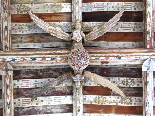
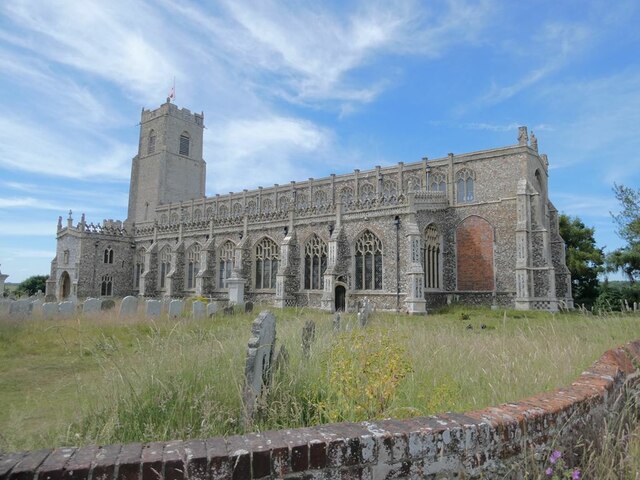
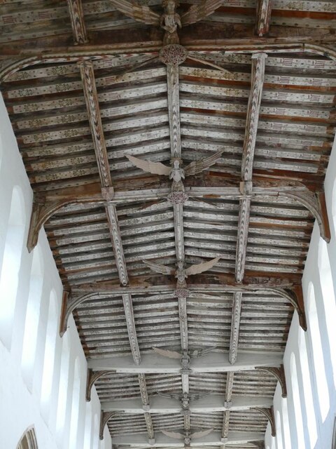
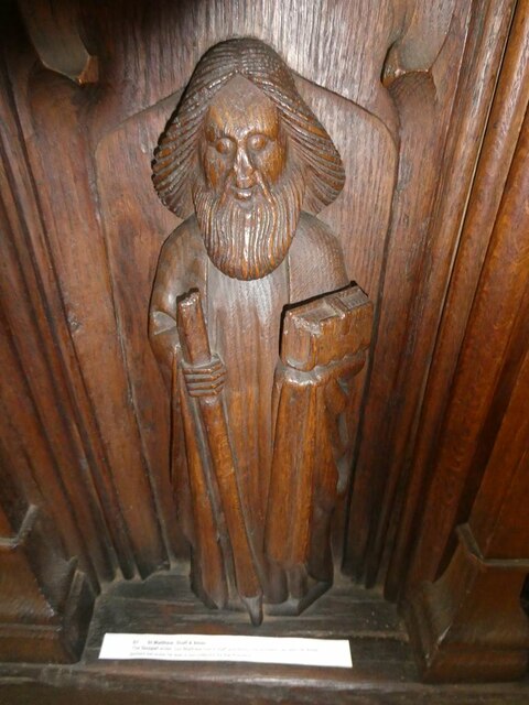
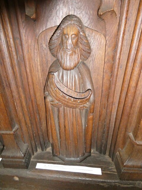
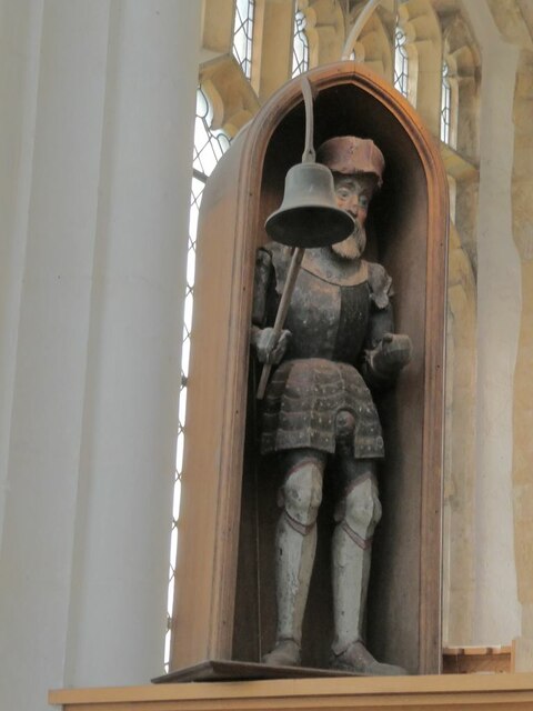
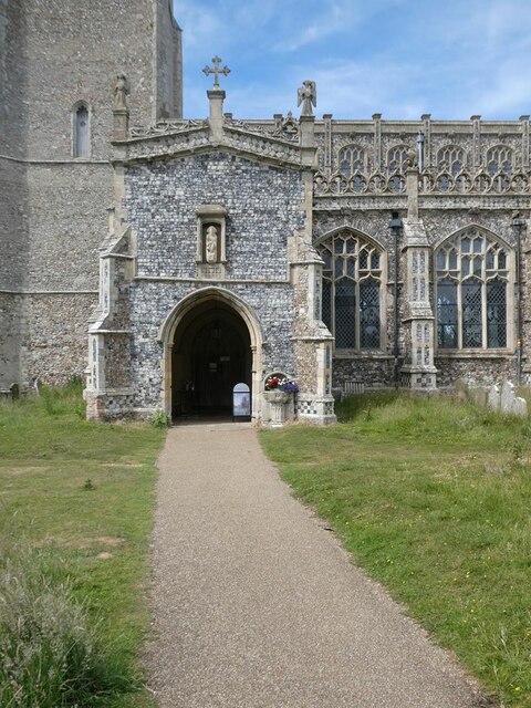
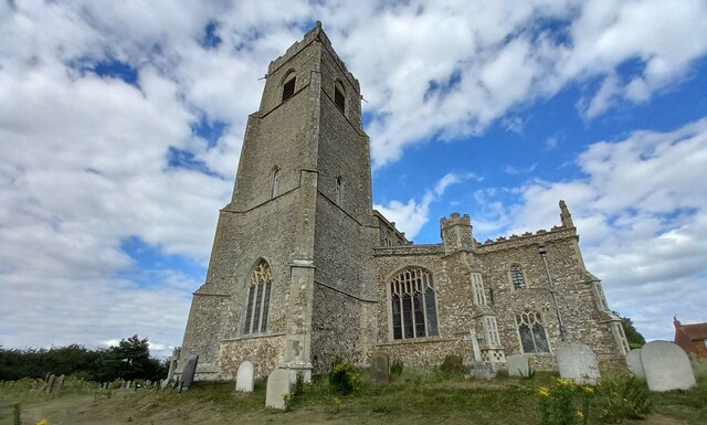
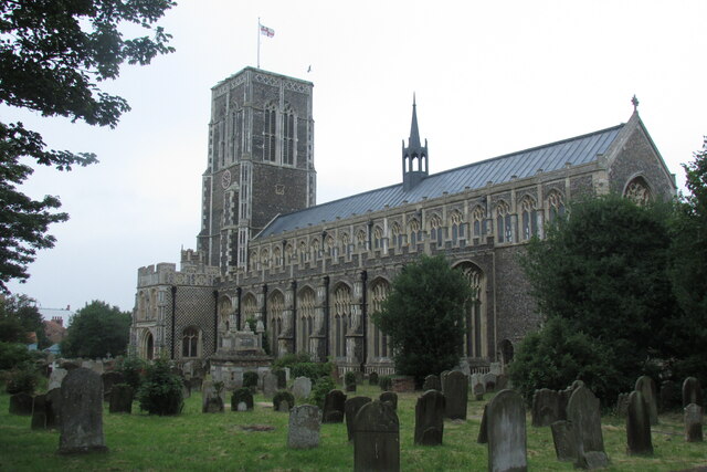
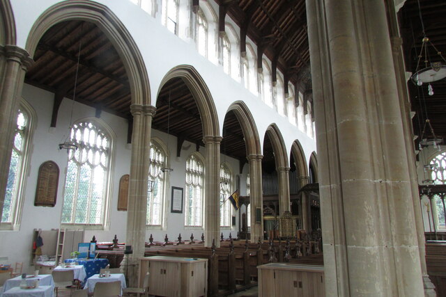
Holy Trinity Church, Blythburgh
The Holy Trinity Church is the parish church of the village of Blythburgh in the East Suffolk district, in the county of Suffolk, England. It is part of...
Nearby Amenities
Located within 500m of 52.332008,1.6019254Have you been to Lodge Covert?
Leave your review of Lodge Covert below (or comments, questions and feedback).