Sandpit Covert
Wood, Forest in Suffolk East Suffolk
England
Sandpit Covert
Sandpit Covert is a picturesque woodland located in Suffolk, England. Covering an area of approximately 20 acres, this enchanting forest is known for its diverse range of trees, wildlife, and tranquil ambiance.
As the name suggests, Sandpit Covert is characterized by its sandy soil, which supports the growth of various tree species such as oak, birch, and pine. The towering trees provide a dense canopy that filters sunlight, creating a cool and shaded environment within the woodland. The forest floor is covered in a thick carpet of moss, ferns, and wildflowers, adding to the area's natural beauty.
The covert is home to a rich array of wildlife, making it a popular spot for nature enthusiasts and birdwatchers. Visitors may spot a variety of bird species, including woodpeckers, nightjars, and owls. Small mammals such as rabbits, squirrels, and voles can also be found scurrying among the undergrowth.
A network of well-maintained footpaths and trails winds through Sandpit Covert, allowing visitors to explore the forest at their leisure. The peaceful atmosphere and abundant natural beauty make it an ideal location for leisurely walks, picnics, and photography.
Sandpit Covert is managed by the Suffolk Wildlife Trust, which aims to preserve the natural habitat and protect the biodiversity of the area. Regular conservation efforts are carried out to maintain the health of the woodland and ensure its continued ecological importance.
Overall, Sandpit Covert is a hidden gem in Suffolk, offering visitors a chance to immerse themselves in the tranquility of nature and discover the wonders of a truly enchanting woodland.
If you have any feedback on the listing, please let us know in the comments section below.
Sandpit Covert Images
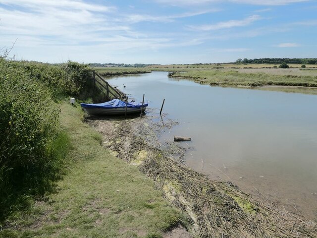
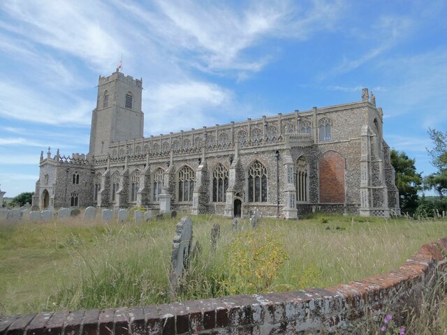
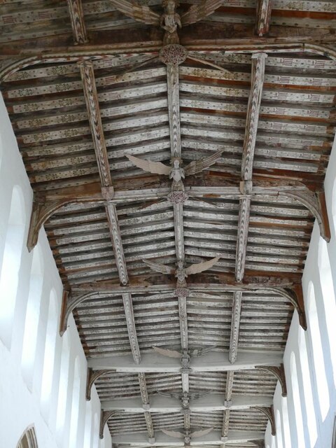
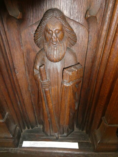
Images are sourced within 2km of 52.330379/1.6016461 or Grid Reference TM4576. Thanks to Geograph Open Source API. All images are credited.
Sandpit Covert is located at Grid Ref: TM4576 (Lat: 52.330379, Lng: 1.6016461)
Administrative County: Suffolk
District: East Suffolk
Police Authority: Suffolk
What 3 Words
///calculate.buck.mural. Near Southwold, Suffolk
Nearby Locations
Related Wikis

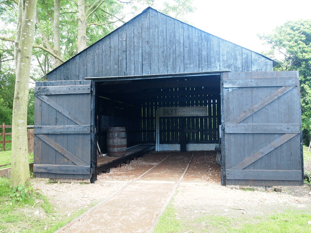
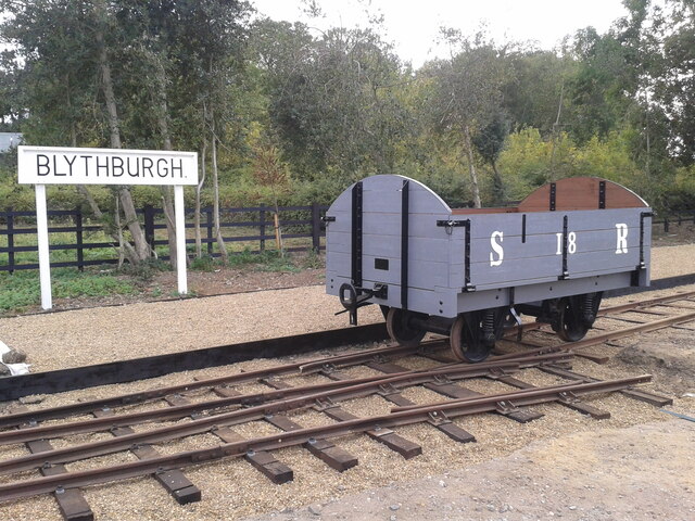
Blythburgh railway station
Blythburgh railway station was located in Blythburgh, Suffolk. The station had two goods sheds. The one shown below is the only remaining building of the...

Latitude Festival
Latitude Festival is an annual music and arts festival set within the grounds of Henham Park, near Southwold, Suffolk, England.The first edition of the...
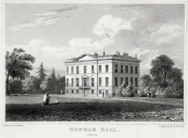
Henham Park
Henham Park is an historic 4,200 acres (1,700 ha) estate in the parish of Wangford with Henham, situated north of the village of Blythburgh in the English...
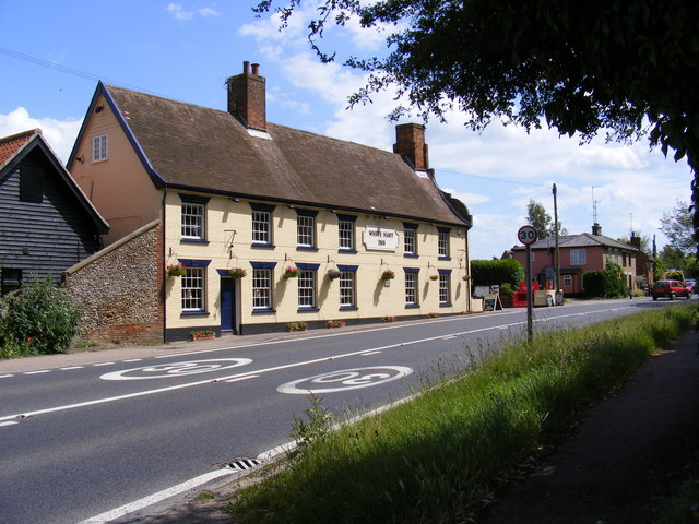
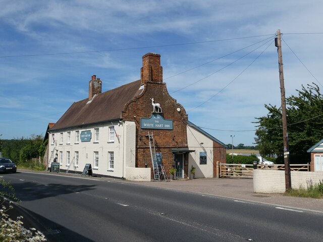
White Hart Inn, Blythburgh
The White Hart Inn is a grade II* listed public house in Blythburgh, Suffolk, England. It is a timber-framed former coaching inn and courthouse that dates...

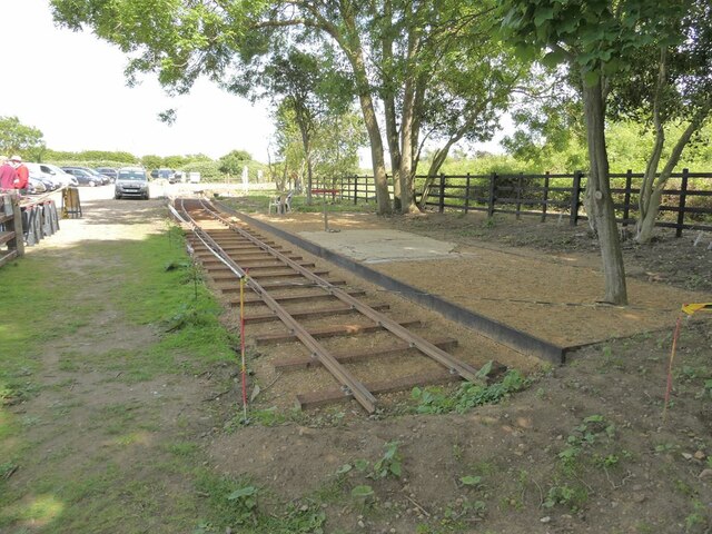
Southwold Railway
The Southwold Railway was a narrow gauge railway line between Halesworth and Southwold in the English county of Suffolk. 8 miles 63+1⁄2 chains (14.15 km...
Blythburgh Priory
Blythburgh Priory was a medieval monastic house of Augustinian canons, dedicated to the Blessed Virgin Mary, located in the village of Blythburgh in Suffolk...

Blythburgh
Blythburgh is a village and civil parish in the East Suffolk district of the English county of Suffolk. It is 4 miles (6.4 km) west of Southwold and 5...
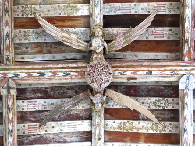
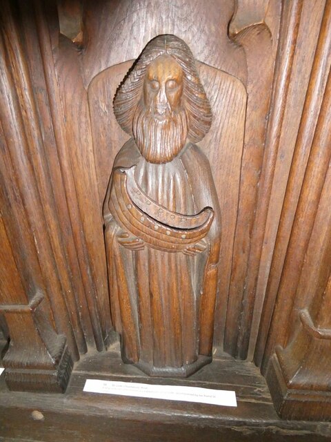
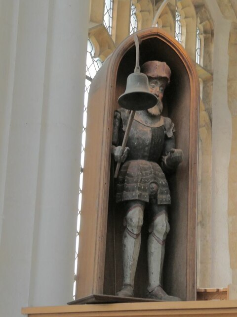
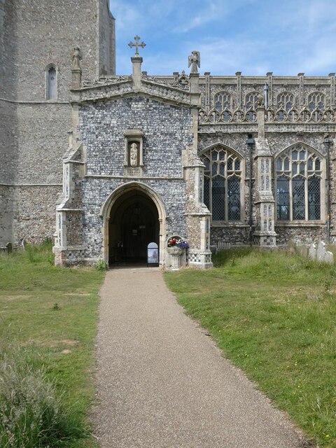
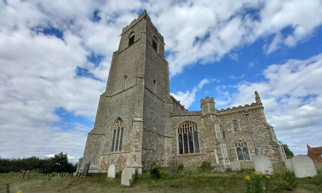
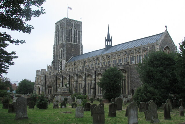
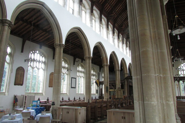
Holy Trinity Church, Blythburgh
The Holy Trinity Church is the parish church of the village of Blythburgh in the East Suffolk district, in the county of Suffolk, England. It is part of...
Nearby Amenities
Located within 500m of 52.330379,1.6016461Have you been to Sandpit Covert?
Leave your review of Sandpit Covert below (or comments, questions and feedback).