Southwell Lane Wood
Wood, Forest in Suffolk East Suffolk
England
Southwell Lane Wood
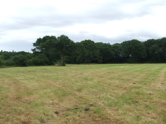
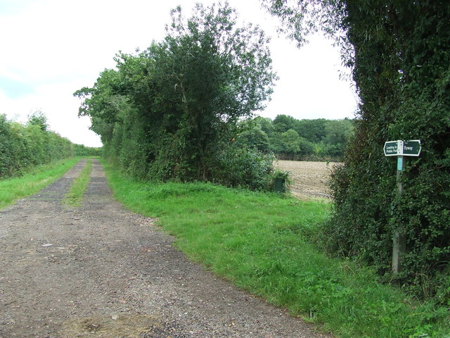
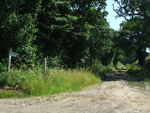
Southwell Lane Wood is a picturesque woodland located in Suffolk, England. Covering an area of approximately 40 hectares, this enchanting forest offers visitors a tranquil and captivating experience.
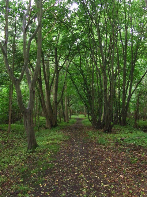
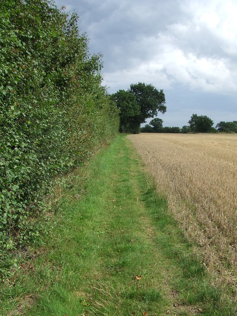
The wood is primarily composed of deciduous trees, creating a vibrant and ever-changing landscape throughout the year. Ancient oak and beech trees dominate the area, providing a dense canopy that filters the sunlight and creates a cool and shaded environment below.
The forest floor is covered in a lush carpet of wildflowers and ferns, adding to the natural beauty of the wood. Bluebells, primroses, and wood anemones bloom in abundance during the spring months, creating a breathtaking display of colors.
Southwell Lane Wood is also home to a diverse range of wildlife. Birdwatchers will delight in the numerous species that inhabit the area, including woodpeckers, nuthatches, and tawny owls. Squirrels scurry through the treetops, while foxes and badgers can occasionally be spotted foraging on the forest floor.
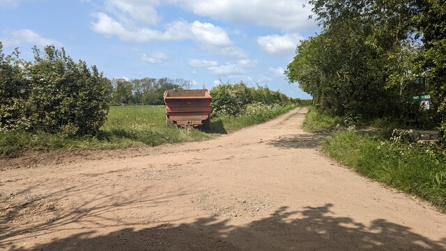
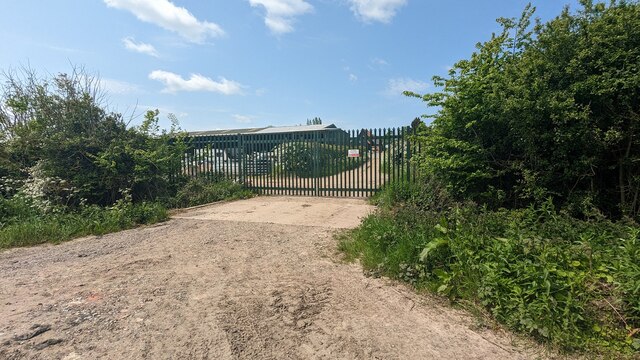
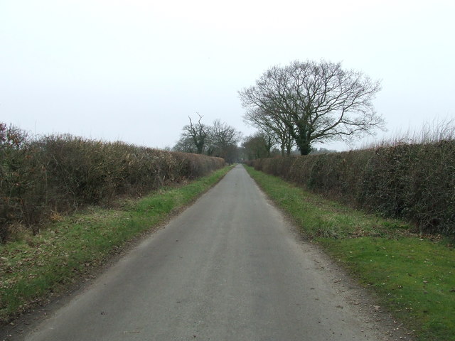
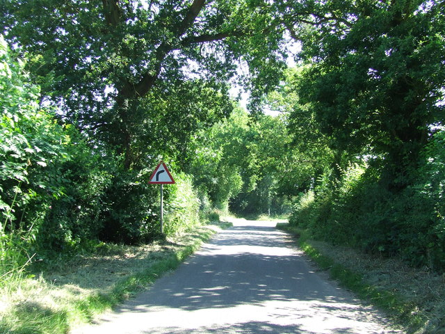
The wood offers several well-maintained paths and trails, allowing visitors to explore its natural wonders at their own pace. There are also picnic areas and benches scattered throughout the wood, providing a perfect spot to rest and immerse oneself in the peaceful atmosphere.
Southwell Lane Wood is a popular destination for nature lovers, hikers, and photographers alike. Its idyllic setting and abundant wildlife make it a haven for those seeking a serene escape from the hustle and bustle of everyday life.
If you have any feedback on the listing, please let us know in the comments section below.
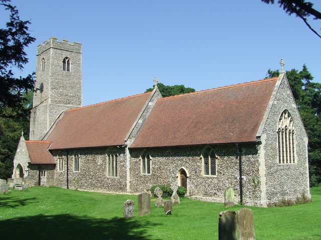
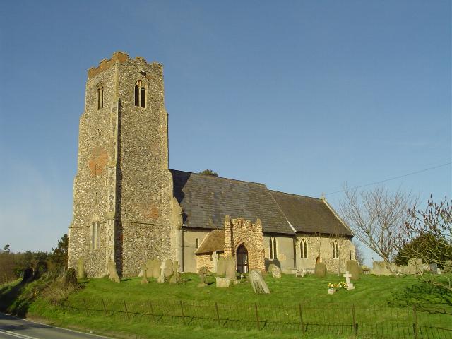
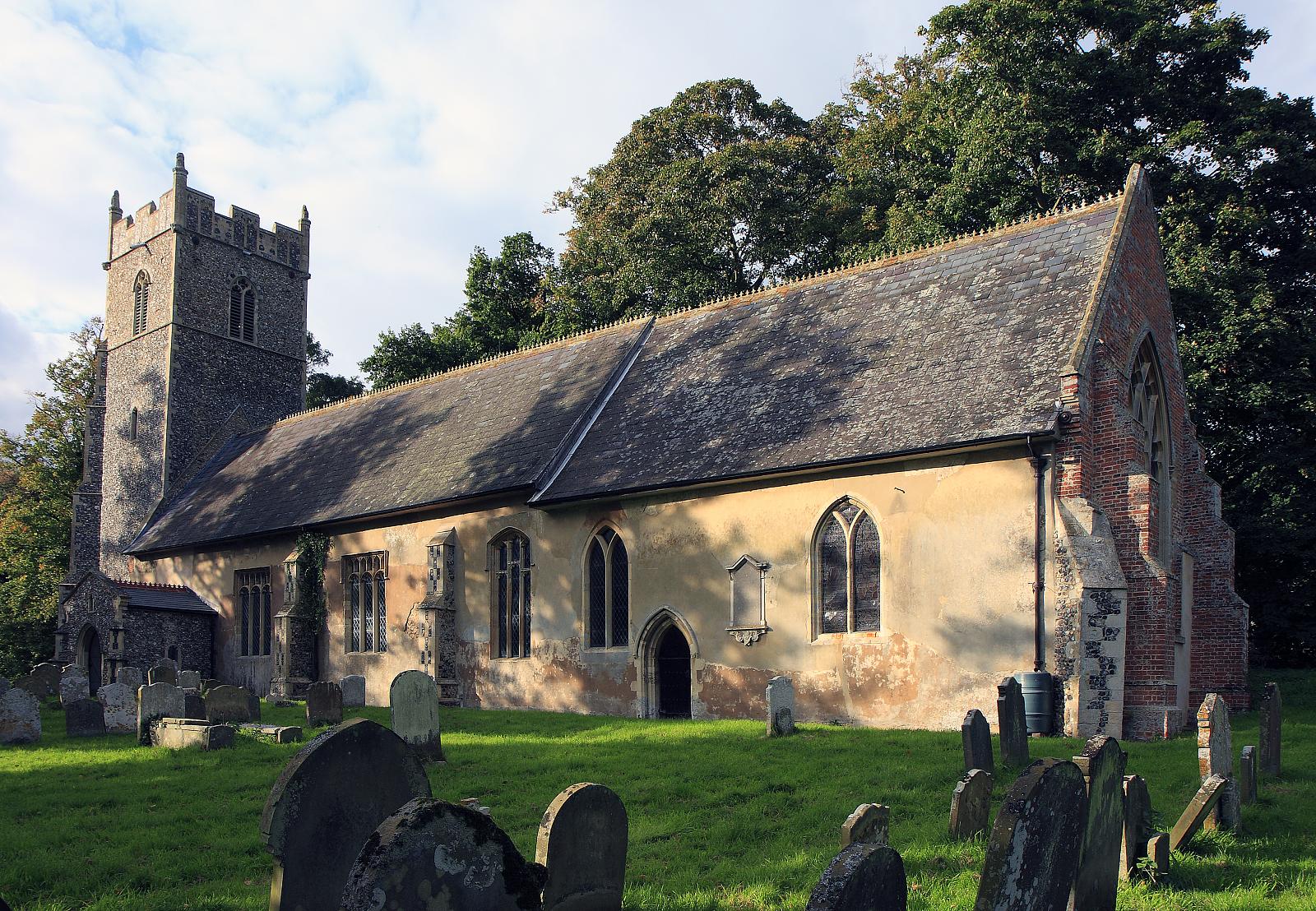
Southwell Lane Wood Images
Images are sourced within 2km of 52.398065/1.6036616 or Grid Reference TM4583. Thanks to Geograph Open Source API. All images are credited.

Southwell Lane Wood is located at Grid Ref: TM4583 (Lat: 52.398065, Lng: 1.6036616)
Administrative County: Suffolk
District: East Suffolk
Police Authority: Suffolk
What 3 Words
///unfair.vaulting.slices. Near Beccles, Suffolk
Nearby Locations
Related Wikis

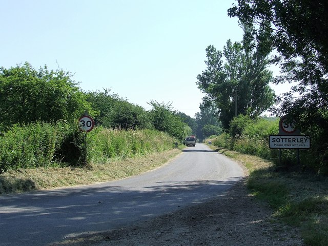
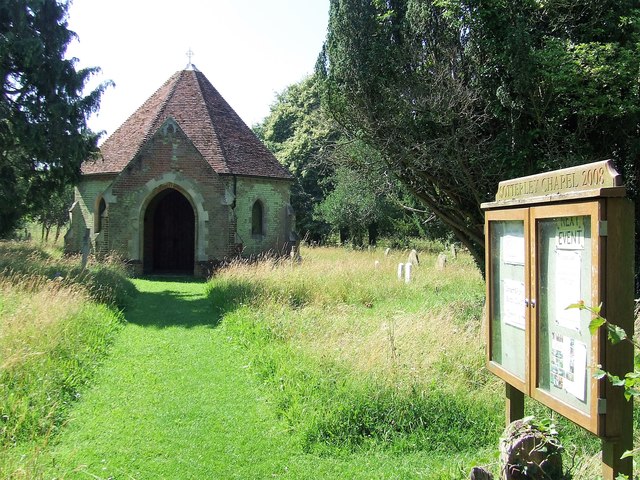
Sotterley
Sotterley, originally Southern-lea from its situation south of the river, is a village and civil parish in the East Suffolk district, in the English county...
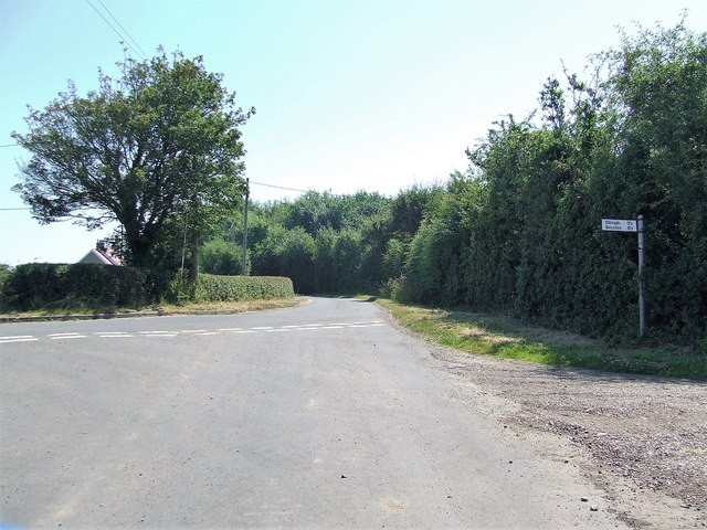
Shadingfield
Shadingfield is a village and civil parish in the East Suffolk district of the English county of Suffolk. It is located around 4 miles (6.4 km) south of...
Sotterley Park
Sotterley Park is a 123.2-hectare (304-acre) biological Site of Special Scientific Interest in Sotterley in Suffolk. It is a Nature Conservation Review...

A145 road
The A145 is an A road in the English county of Suffolk. It runs from east of the town of Beccles, close to the border with Norfolk, to the village of Blythburgh...

Willingham St Mary
Willingham St Mary, also known simply as Willingham, is a village and civil parish in the English county of Suffolk located about 3.5 miles (6 km) south...

Stoven
Stoven is a village and former civil parish now in the parish of Brampton with Stoven, in the East Suffolk district of the English county of Suffolk. It...

Brampton with Stoven
Brampton with Stoven is a civil parish in the East Suffolk district of the English county of Suffolk. It is located 6 miles (9.7 km) south of the town...
Brampton, Suffolk
Brampton is a village and former civil parish, now in the parish of Brampton with Stoven, in the East Suffolk district, in the county of Suffolk, England...
Have you been to Southwell Lane Wood?
Leave your review of Southwell Lane Wood below (or comments, questions and feedback).