Auchterhouse

Settlement in Angus

Scotland

Auchterhouse

Communications mast by Tealing Road On approach to Kirkton of Auchterhouse.
Communications mast by Tealing Road Credit: Stanley Howe

Auchterhouse is a charming village located in the Angus region of Scotland. Situated about 8 miles west of Dundee, it lies on the southern slopes of the Sidlaw Hills, offering picturesque views of the surrounding countryside. With a population of around 1,000 people, Auchterhouse maintains a peaceful and close-knit community.

The village is known for its rich history, dating back to the 12th century when it was a site of a castle. Today, remnants of Auchterhouse Castle can still be seen, adding to the village's historical allure. The area is also known for its farming heritage, with agriculture playing a significant role in the local economy.

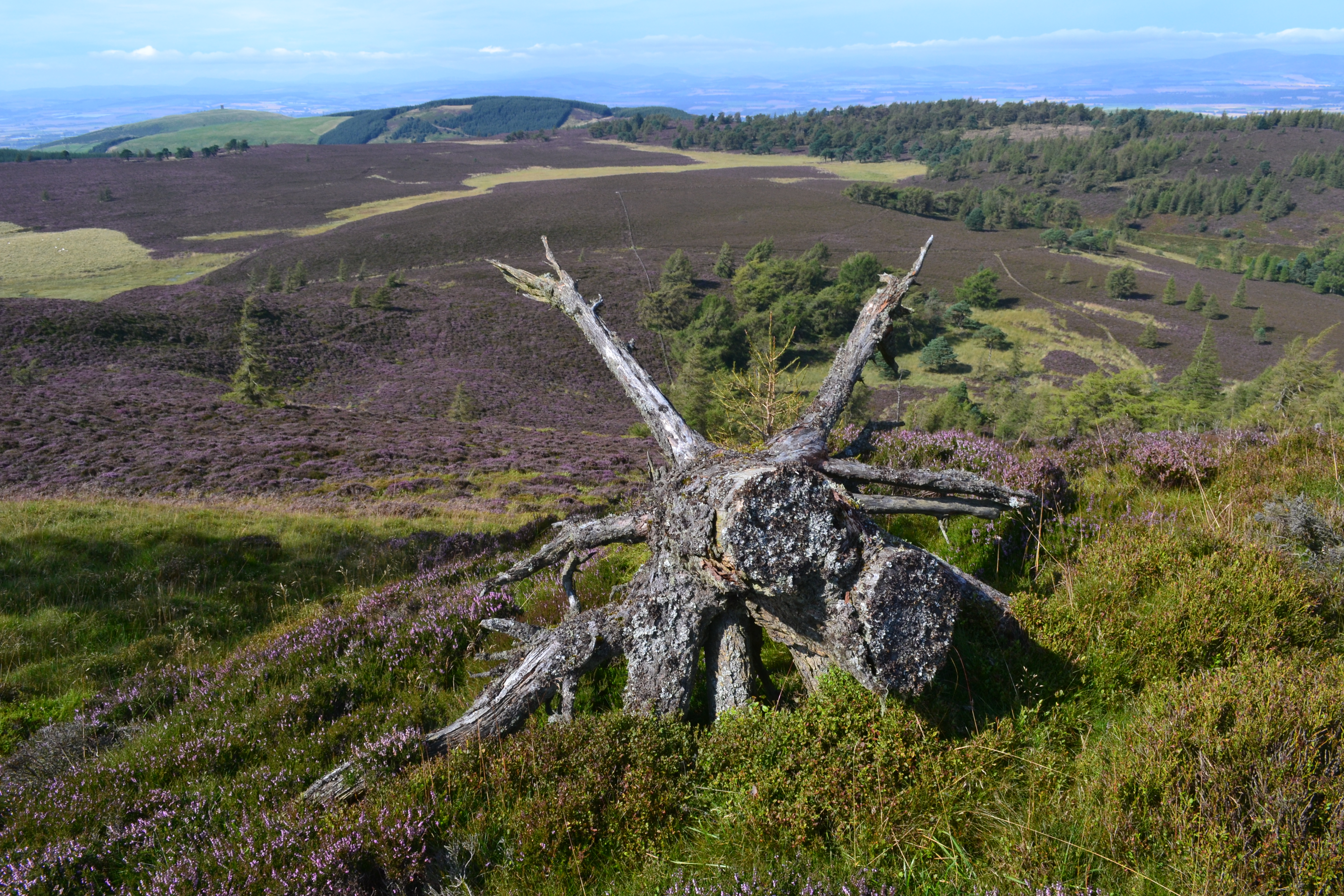
Nature enthusiasts will find Auchterhouse to be a haven for outdoor activities. The nearby Sidlaw Hills offer beautiful walking and hiking trails, allowing visitors to explore the stunning landscapes and enjoy panoramic views of the surrounding area. The village is also home to the Auchterhouse Country Sports, a popular destination for shooting and fishing enthusiasts.

Auchterhouse offers a range of amenities to cater to both residents and visitors. The village has a primary school, a village hall, a church, and a post office. Additionally, there are a few local businesses, including a farm shop and a café, providing essential services and a taste of the local produce.

Overall, Auchterhouse is a tranquil and picturesque village that offers a perfect blend of history, natural beauty, and community spirit. Whether you are looking to explore the great outdoors or experience the charm of a small Scottish village, Auchterhouse is a delightful destination to visit.

If you have any feedback on the listing, please let us know in the comments section below.
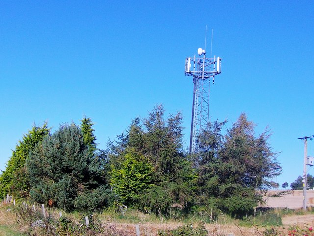
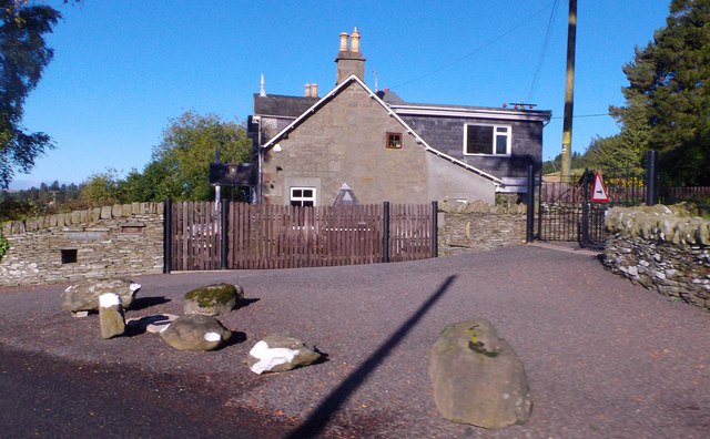
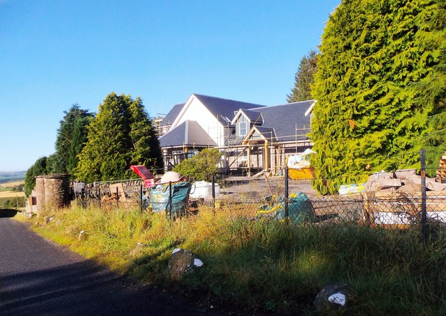
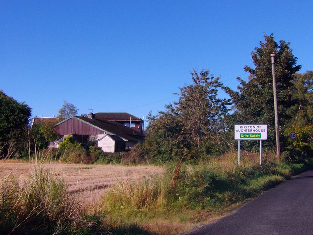
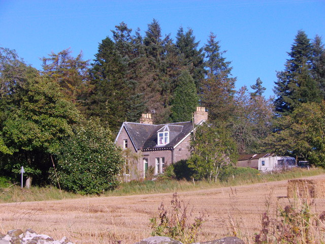
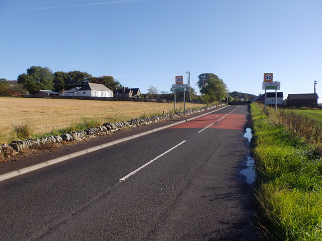
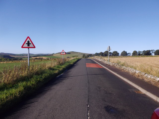
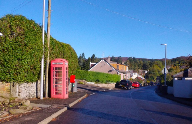
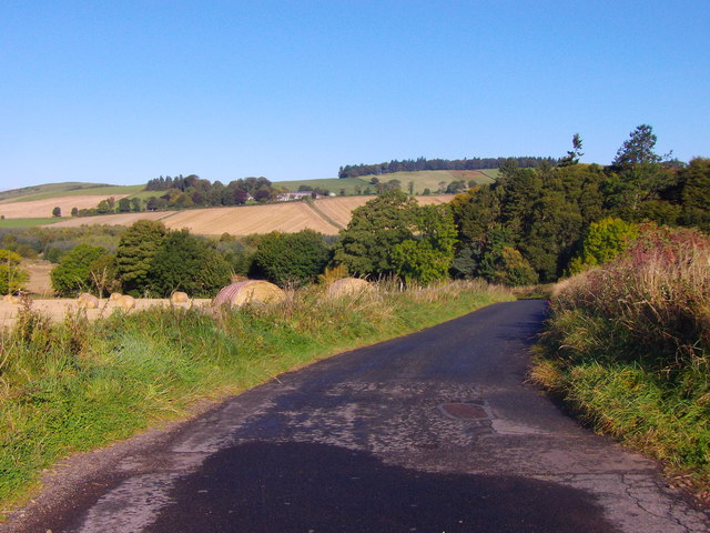
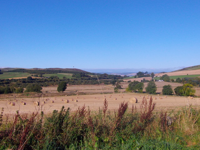
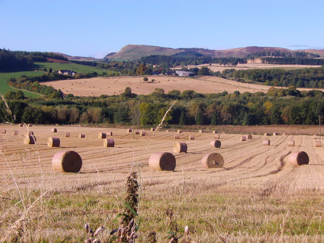
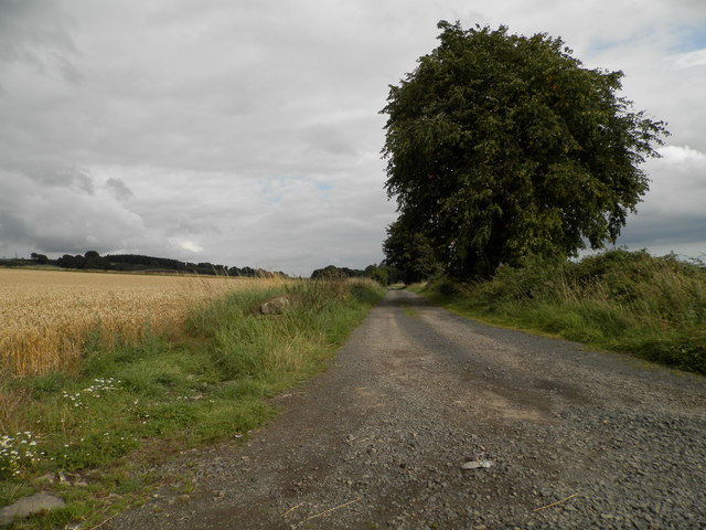
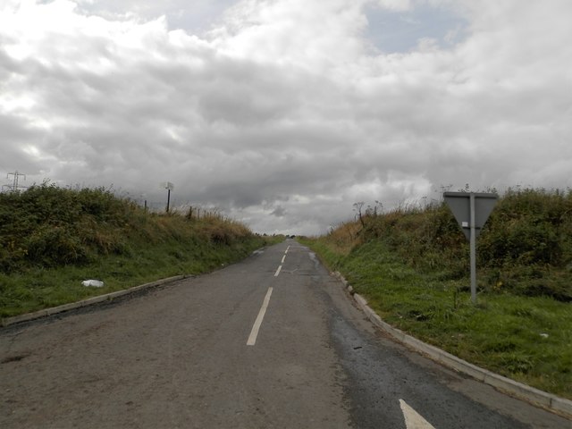
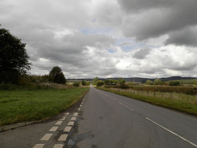
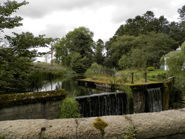
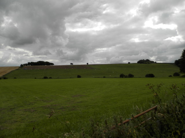
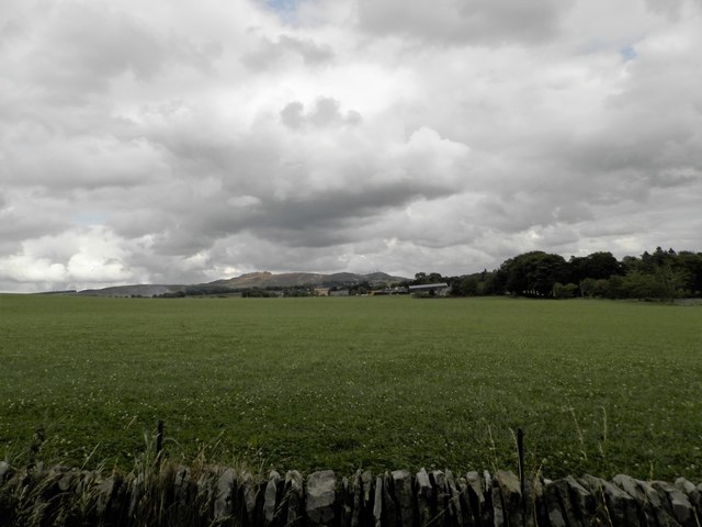
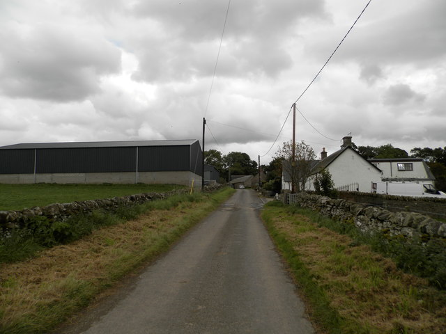
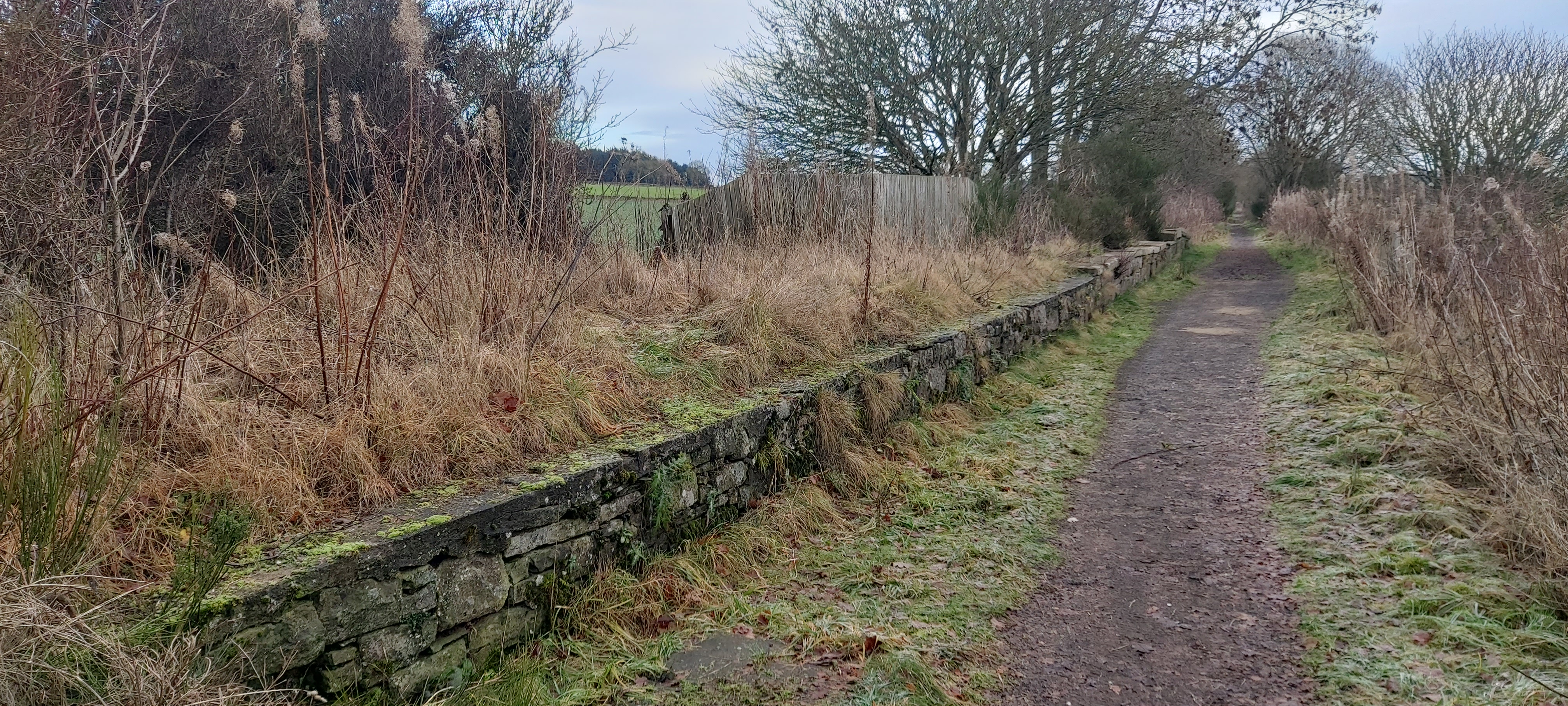
Auchterhouse Images

Images are sourced within 2km of 56.525006/-3.086933 or Grid Reference NO3337. Thanks to Geograph Open Source API. All images are credited.

Communications mast by Tealing Road On approach to Kirkton of Auchterhouse.
Communications mast by Tealing Road
On approach to Kirkton of Auchterhouse.
Quarry House, Tealing Road At a former access from minor road to Parkhill quarries (now disused).
Quarry House, Tealing Road
At a former access from minor road to Parkhill quarries (now disused).
House renovation By Tealing Road approaching Kirkton of Auchterhouse.
House renovation
By Tealing Road approaching Kirkton of Auchterhouse.
Entering Kirkton of Auchterhouse By way of Tealing Road.
Entering Kirkton of Auchterhouse
By way of Tealing Road.
Moredun, Kirkton of Auchterhouse Viewed from the Tealing Road.
Moredun, Kirkton of Auchterhouse
Viewed from the Tealing Road.
Entrance to Kirkton of Auchterhouse On minor road from Auchterhouse; village school on left.
Entrance to Kirkton of Auchterhouse
On minor road from Auchterhouse; village school on left.
Road from Kirkton to Auchterhouse Approaching a crossroads.
Road from Kirkton to Auchterhouse
Approaching a crossroads.
Telephone box and postbox In Kirkton of Auchterhouse.
Telephone box and postbox
In Kirkton of Auchterhouse.
Bonnyton Road Near Westwood.
Bonnyton Road
Near Westwood.
View NW from above the Bridge of Bonnyton Through the Glack of Newtyle; after harvesting.
View NW from above the Bridge of Bonnyton
Through the Glack of Newtyle; after harvesting.
View WSW from road above Bridge of Bonnyton To Lundie Craigs, over harvested corn fields.
View WSW from road above Bridge of Bonnyton
To Lundie Craigs, over harvested corn fields.
Track to Pitpointie Farm
Minor road near Dronley
The B954 at Dronley
The B954 at Dronley
Sluice at Auchterhouse
Field at West Mains, Auchterhouse
Field at East Mains, Auchterhouse
East Mains, Auchterhouse
Show me another place!

Auchterhouse is located at Grid Ref: NO3337 (Lat: 56.525006, Lng: -3.086933)

Unitary Authority: Angus

Police Authority: Tayside

What 3 Words

///soonest.tailing.chimp. Near Muirhead, Angus

Related Wikis

Nearby Amenities

Located within 500m of 56.525006,-3.086933
Road End
Local Ref: AT
Naptan AtcoCode: 6490IM597
Naptan Bearing: SE
Naptan BusStopType: CUS
Naptan CommonName: Road End
Naptan Indicator: at
Naptan Landmark: Mansion House Hotel
Naptan NaptanCode: 26423643
Naptan Street: B954
Naptan Verified: no
Source: naptan_import
Lat/Long: 56.524933/-3.0870234
Bus Stop
Road End
Naptan AtcoCode: 6490IM598
Naptan Bearing: NW
Naptan CommonName: Road End
Naptan Indicator: opp Road End
Naptan Landmark: Auchterhouse Mansion House Hotel
Naptan NaptanCode: 26423642
Naptan Street: B954
Naptan Verified: no
Source: naptan_import
Lat/Long: 56.5247076/-3.0871145
Auchterhouse
Name Gd: Uachdaras
Old Name: Milltown of Auchterhouse
Place: village
Wikidata: Q4819471
Wikipedia: en:Auchterhouse
Lat/Long: 56.5246909/-3.0874656
Auchterhouse Country Sports
Addr City: Dundee
Addr Housename: Burnhead Farm
Addr Postcode: DD3 0QN
Addr Suburb: Auchterhouse
Website: https://www.auchterhousecountrysports.co.uk/
Lat/Long: 56.5248914/-3.0887253
Auchterhouse
Traffic Sign: city_limit
Lat/Long: 56.5261161/-3.0922
Skea Organics Ltd
Shop: agrarian
Lat/Long: 56.5225218/-3.0912961
Auchterhouse
Historic Railway: station
Railway: site
Wikidata: Q4819470
Wikipedia: en:Auchterhouse railway station
Lat/Long: 56.5258495/-3.0857629
Power: pole
Lat/Long: 56.5257913/-3.0791378
Power: pole
Lat/Long: 56.5260865/-3.0798985
Power: pole
Lat/Long: 56.5263112/-3.0804824
Power: pole
Lat/Long: 56.5266036/-3.0812457
Power: pole
Lat/Long: 56.5269101/-3.0820396
Power: pole
Lat/Long: 56.5271912/-3.0827952
Power: pole
Lat/Long: 56.5274624/-3.0835072
Power: pole
Lat/Long: 56.5278099/-3.0844113
Power: pole
Lat/Long: 56.5281264/-3.0852514
Power: pole
Lat/Long: 56.5284484/-3.0860966
Power: pole
Lat/Long: 56.5286999/-3.0867318
Power: pole
Lat/Long: 56.5289471/-3.08739
Power: pole
Lat/Long: 56.5292225/-3.0881276
Power: pole
Lat/Long: 56.528601/-3.0849594
Power: pole
Lat/Long: 56.528755/-3.0838555
Power: pole
Lat/Long: 56.5287013/-3.0915059
Power: pole
Lat/Long: 56.5277944/-3.0914675
Power: pole
Lat/Long: 56.5270316/-3.0917671
Power: pole
Lat/Long: 56.5269596/-3.0918132
Power: pole
Lat/Long: 56.5265852/-3.0919618
Power: pole
Lat/Long: 56.5261868/-3.092118
Power: pole
Lat/Long: 56.5260385/-3.0921718
Power: pole
Lat/Long: 56.5252898/-3.0924868
Power: pole
Lat/Long: 56.5244775/-3.0928198
Power: pole
Lat/Long: 56.5241808/-3.0939672
Power: pole
Lat/Long: 56.5267646/-3.0906223
Power: pole
Lat/Long: 56.5273452/-3.0929811
Power: pole
Lat/Long: 56.5247233/-3.0910449
Power: pole
Lat/Long: 56.5248575/-3.0906274
Power: pole
Lat/Long: 56.525109/-3.0897976
Power: pole
Lat/Long: 56.5252432/-3.089375
Power: pole
Lat/Long: 56.5250115/-3.0917543
Power: pole
Lat/Long: 56.5243179/-3.0900486
Power: pole
Lat/Long: 56.5240056/-3.0892418
Power: pole
Lat/Long: 56.523846/-3.0932834
Power: pole
Lat/Long: 56.5234829/-3.0925406
Power: pole
Lat/Long: 56.5231227/-3.0917953
The data included in this document is from www.openstreetmap.org. The data is made available under ODbL.

Have you been to Auchterhouse?

Leave your review of Auchterhouse below (or comments, questions and feedback).