East Mains
Settlement in Angus
Scotland
East Mains
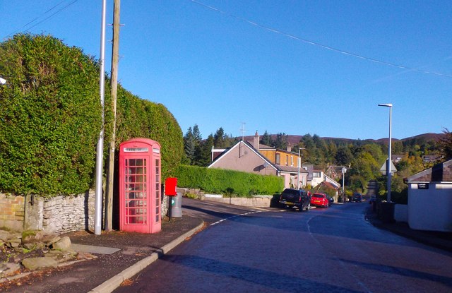
East Mains is a small village located in the Angus region of Scotland. Situated approximately 8 miles west of Forfar, it is nestled in the picturesque countryside of the Angus Glens.
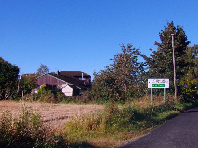
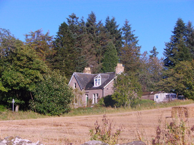
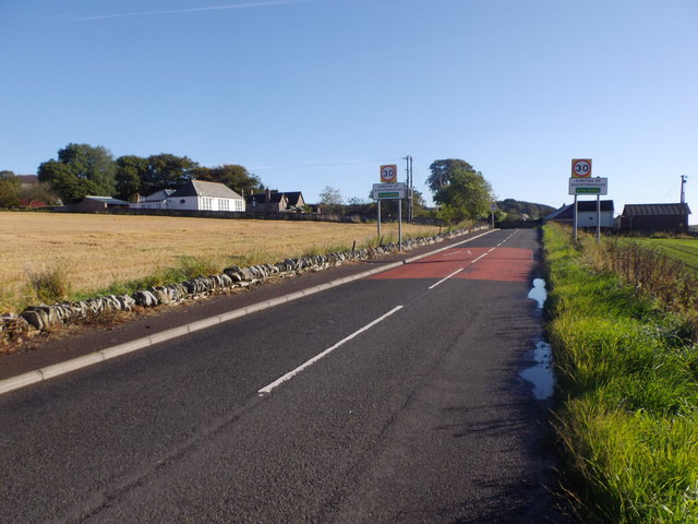
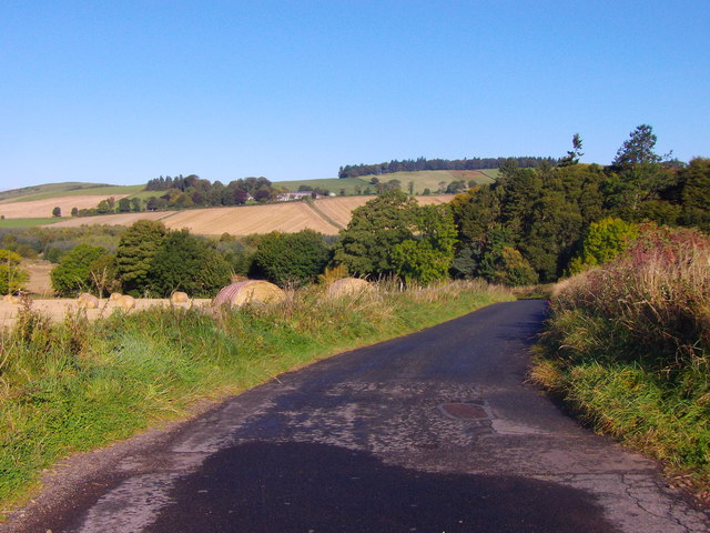
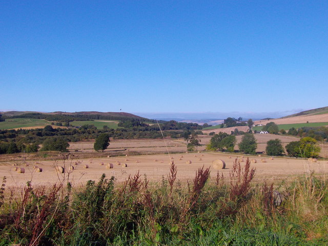
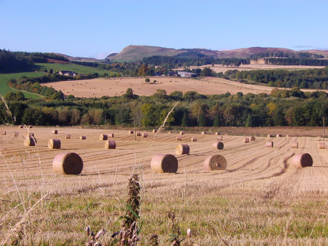
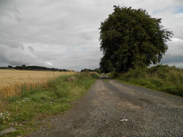
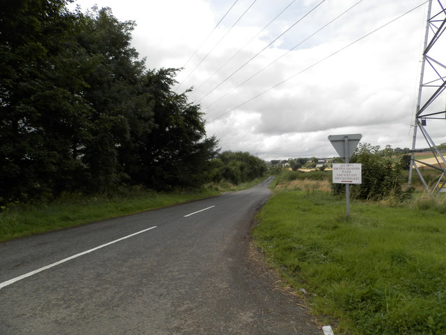
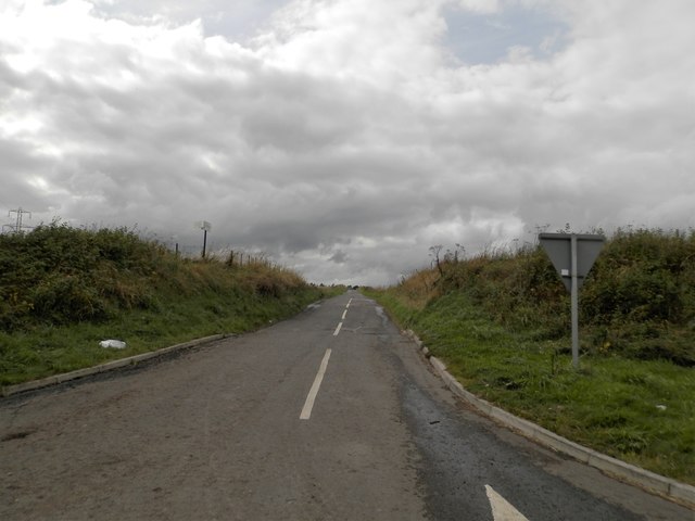
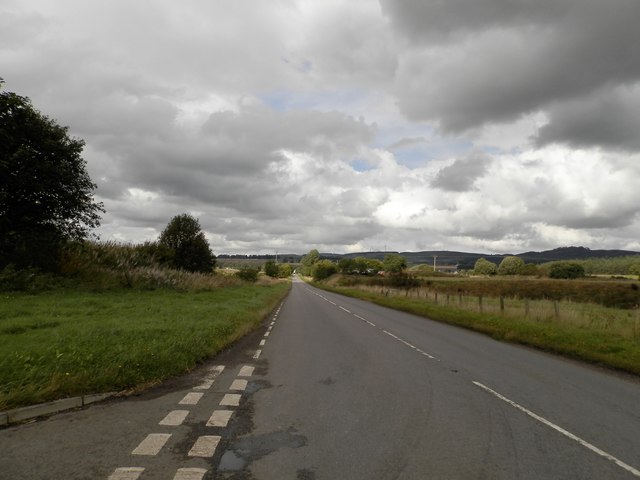
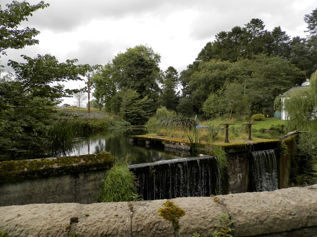
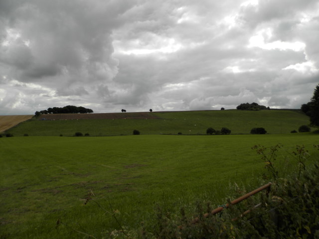
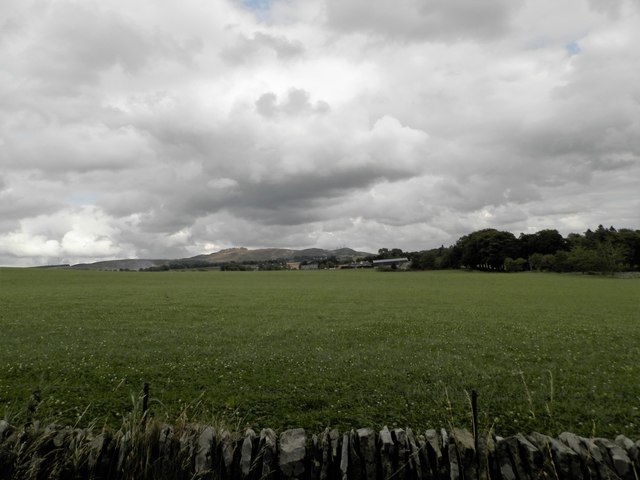
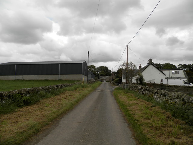
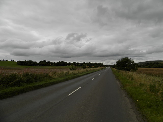
The village is characterized by its charming rural setting, with rolling hills, lush fields, and meandering streams surrounding it. East Mains is primarily an agricultural community, with farming being the main occupation of its residents. The landscape is dotted with traditional farmhouses, barns, and fields of crops, showcasing the area's strong ties to its agricultural heritage.
Despite its small size, East Mains boasts a strong sense of community. The villagers actively participate in community events and gatherings, fostering a friendly and welcoming atmosphere. The village has a close-knit primary school, a local shop, and a pub where residents can socialize and unwind.
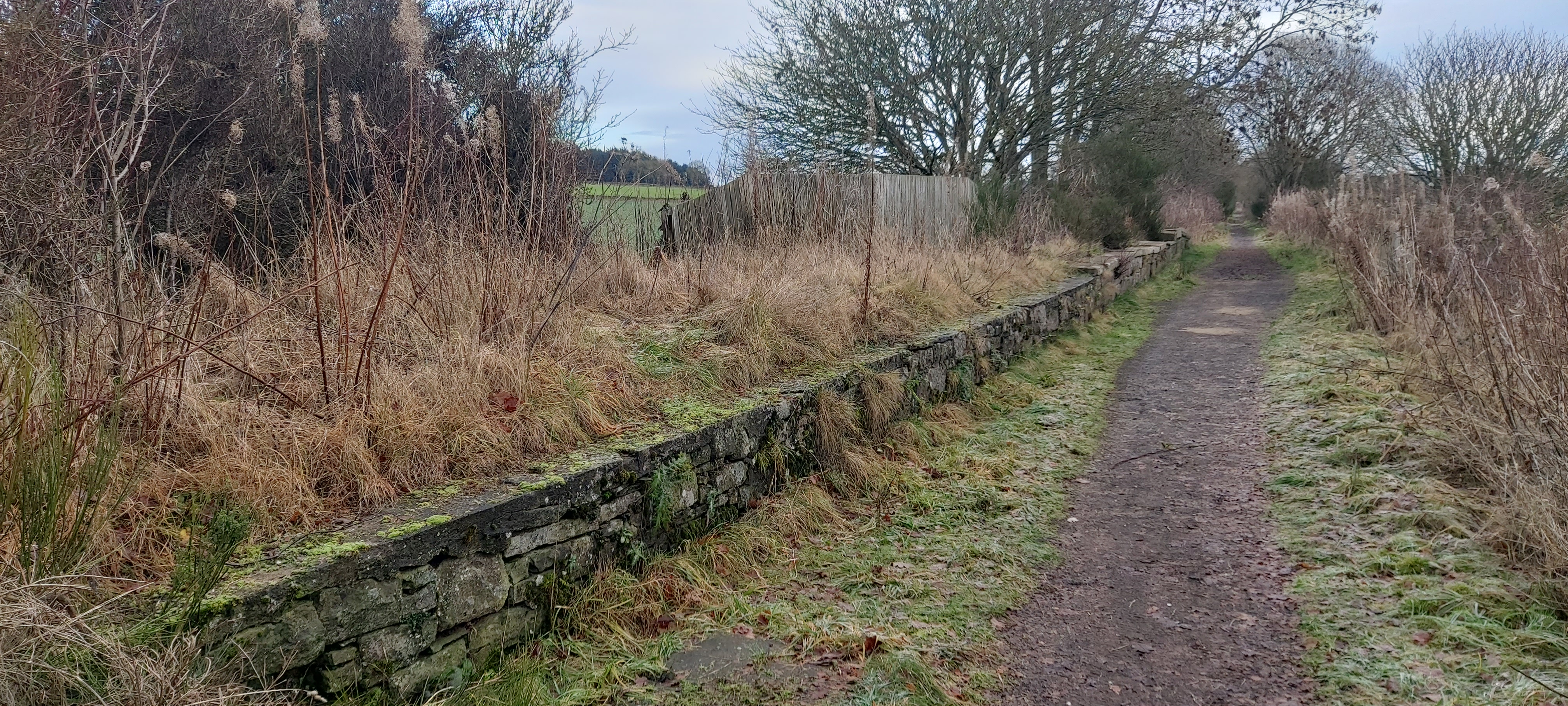
For outdoor enthusiasts, East Mains offers plenty of opportunities to explore the surrounding natural beauty. The nearby Angus Glens provide a stunning backdrop for hiking, cycling, and wildlife spotting, with its diverse flora and fauna.
East Mains also benefits from its proximity to a range of amenities and attractions. The historic town of Forfar is just a short drive away, offering a wider range of shops, restaurants, and leisure facilities. Additionally, the vibrant city of Dundee, with its cultural attractions and excellent shopping opportunities, is within easy reach.
In conclusion, East Mains is a charming rural village in Angus, Scotland, known for its agricultural heritage, close-knit community, and beautiful natural surroundings.
If you have any feedback on the listing, please let us know in the comments section below.
East Mains Images
Images are sourced within 2km of 56.520245/-3.0905429 or Grid Reference NO3337. Thanks to Geograph Open Source API. All images are credited.

East Mains is located at Grid Ref: NO3337 (Lat: 56.520245, Lng: -3.0905429)
Unitary Authority: Angus
Police Authority: Tayside
What 3 Words
///hurricane.tomb.lookout. Near Muirhead, Angus
Nearby Locations
Related Wikis

Auchterhouse
Auchterhouse is a village, community, and civil parish in the Scottish council area of Angus, located 7.3 miles (11.7 km) north west of Dundee, 9.5 miles...

Auchterhouse railway station
Auchterhouse railway station served the village of Auchterhouse in the Scottish county of Angus. Services were provided by the Dundee and Newtyle Railway...
Dronley railway station
Dronley railway station served the village of Dronley, Angus, Scotland from 1860 to 1955 on the Dundee and Newtyle Railway. == History == The station opened...

Dundee West (UK Parliament constituency)
Dundee West is a constituency of the House of Commons of the Parliament of the United Kingdom. It elects one Member of Parliament (MP) by the first-past...
Balbeuchly (Top) railway station
Balbeuchly (Top) railway station served the village of Auchterhouse, Angus, Scotland, from 1831 to 1861 on the Dundee and Newtyle Railway. == History... ==
Backmuir Wood
Backmuir Wood is a 140.58 acres (56.89 ha) woodland in the Scottish county of Angus, about 4 kilometres (2 mi) northwest of Dundee. It is located south...
Balbeuchly (Foot) railway station
Balbeuchly (Foot) railway station served the village of Auchterhouse, Angus, Scotland, from 1831 to 1855 on the Dundee and Newtyle Railway. == History... ==

Pitlyal Loch
Pitlyal Loch also known as Round Loch is a small lochan in Sidlaw Hills in Angus. It is located southeast of Long Loch and is almost directly south of...
Nearby Amenities
Located within 500m of 56.520245,-3.0905429Have you been to East Mains?
Leave your review of East Mains below (or comments, questions and feedback).