Mains, East
Settlement in Angus
Scotland
Mains, East
Mains is a small village located in the eastern part of Angus, Scotland. Situated near the coast, it is approximately 6 miles northeast of the town of Montrose. The village is surrounded by picturesque countryside and offers stunning views of the North Sea.
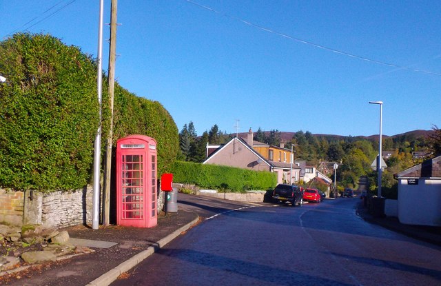
Mains is known for its peaceful atmosphere and close-knit community. The village is primarily residential, with a handful of amenities to cater to the needs of its residents. These include a local pub, a small convenience store, and a post office. However, for a wider range of services, residents can easily access the nearby town of Montrose.
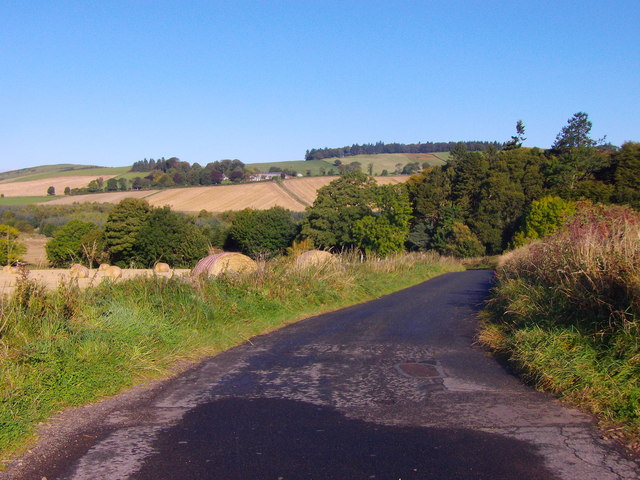
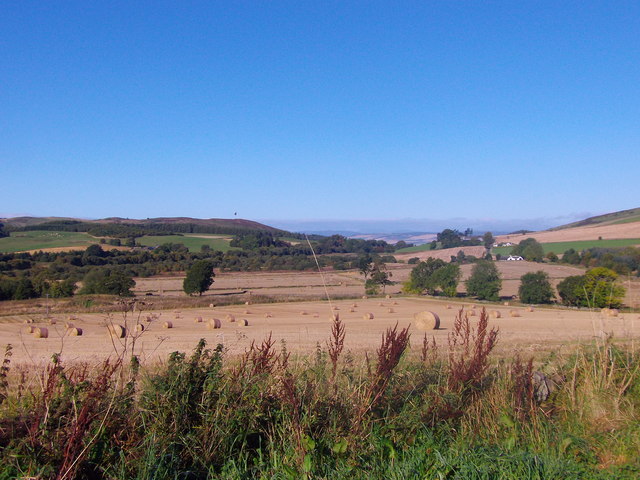
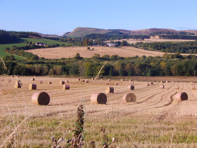
The area surrounding Mains is a haven for outdoor enthusiasts. The village is near the Lunan Bay, a beautiful sandy beach that stretches for miles and is a popular spot for walking, picnicking, and birdwatching. Additionally, the Angus Glens are within driving distance, offering opportunities for hiking, climbing, and exploring the stunning natural landscapes.
Mains has a rich history, with evidence of human habitation dating back thousands of years. The nearby Dunninald Castle, a grand stately home, is a notable historic landmark in the area and attracts visitors interested in the region's past.
Overall, Mains, East Angus, provides a tranquil and scenic setting for residents and visitors alike, with easy access to both the coast and the countryside.
If you have any feedback on the listing, please let us know in the comments section below.
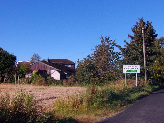
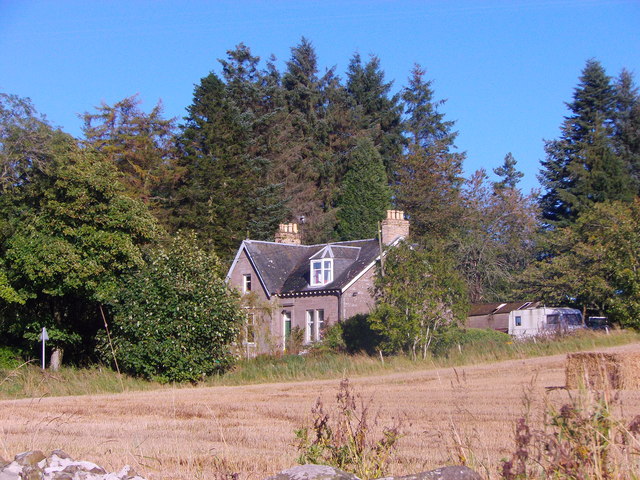
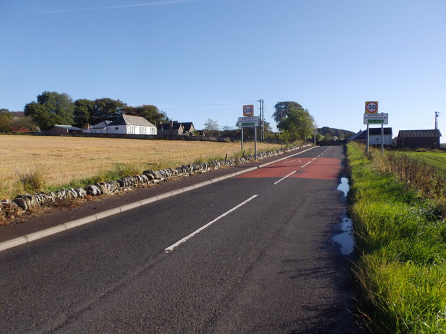
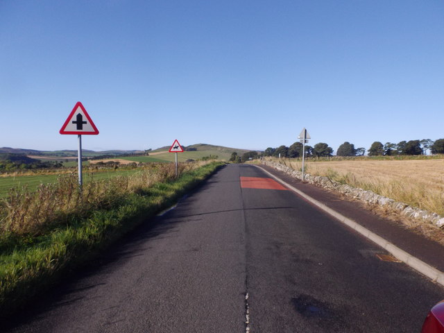
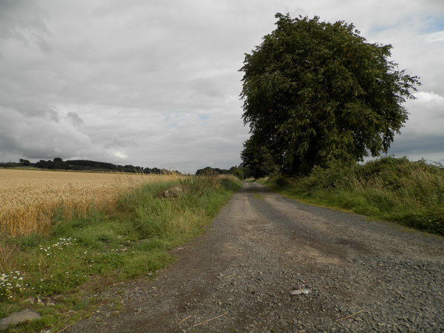
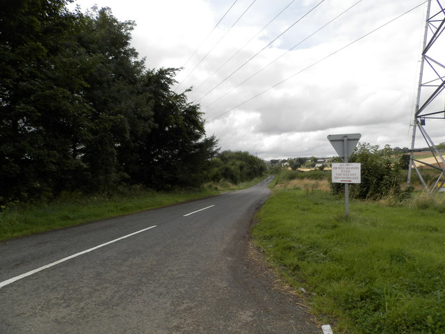
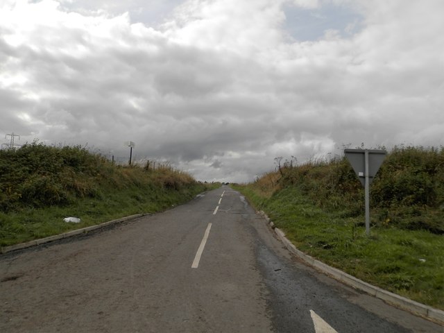
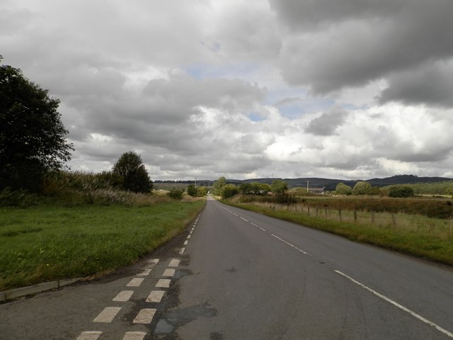
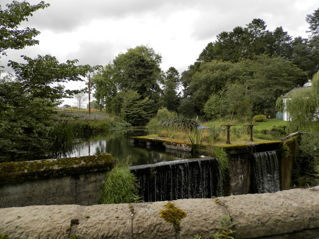
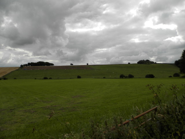
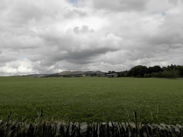
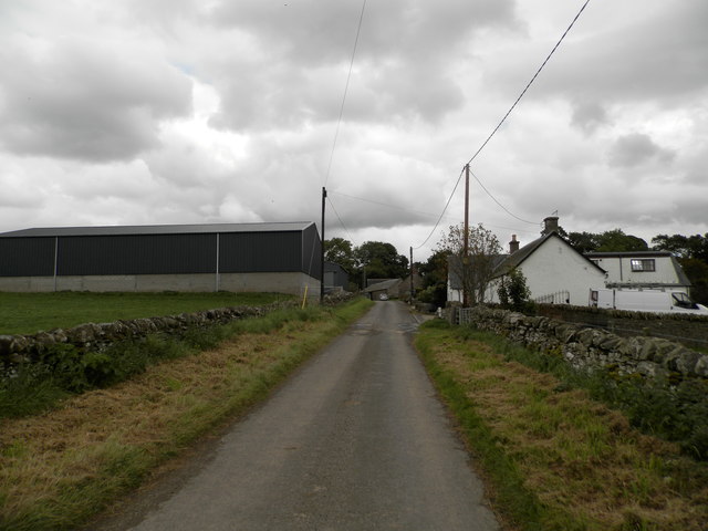
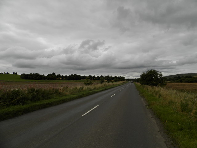
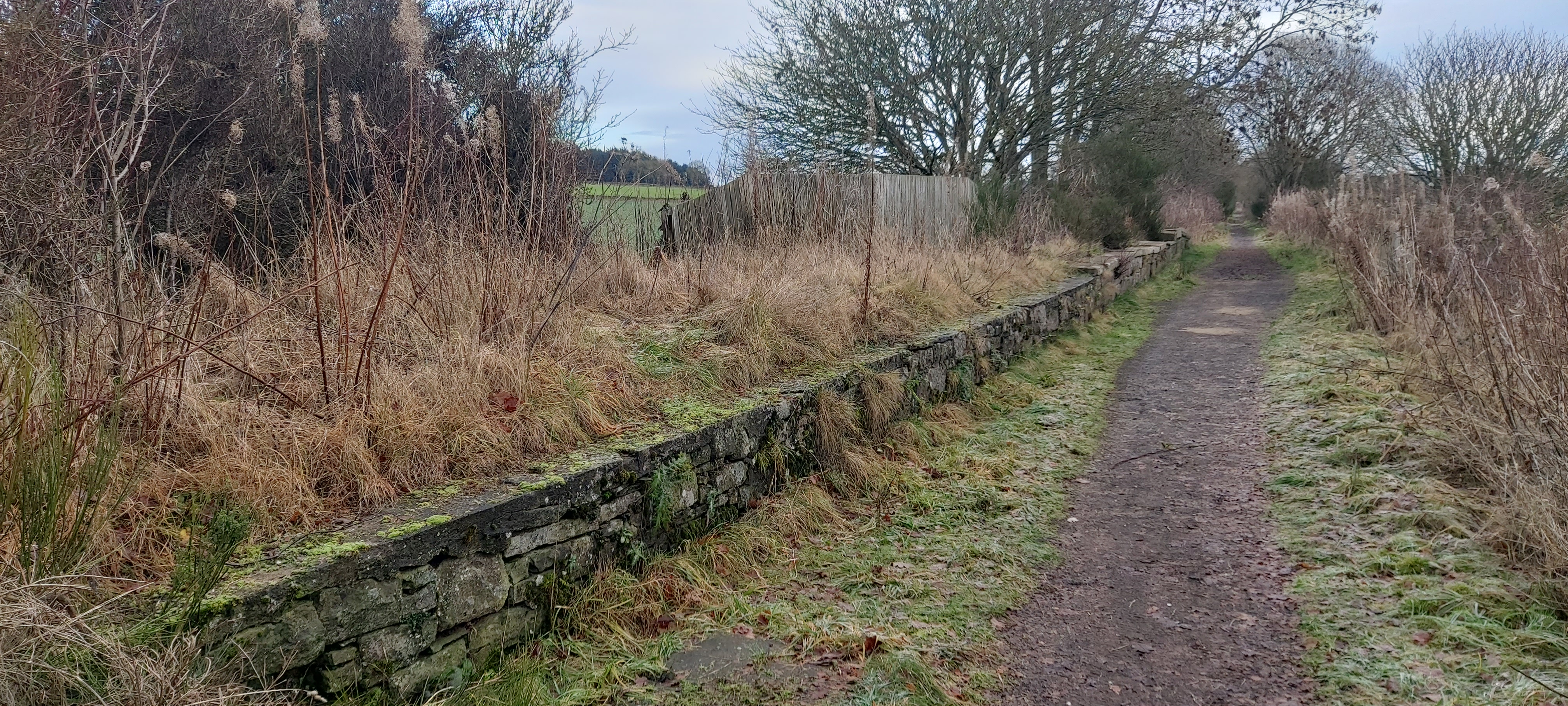
Mains, East Images
Images are sourced within 2km of 56.520245/-3.0905429 or Grid Reference NO3337. Thanks to Geograph Open Source API. All images are credited.

Mains, East is located at Grid Ref: NO3337 (Lat: 56.520245, Lng: -3.0905429)
Unitary Authority: Angus
Police Authority: Tayside
What 3 Words
///hurricane.tomb.lookout. Near Muirhead, Angus
Nearby Locations
Related Wikis

Auchterhouse
Auchterhouse is a village, community, and civil parish in the Scottish council area of Angus, located 7.3 miles (11.7 km) north west of Dundee, 9.5 miles...

Auchterhouse railway station
Auchterhouse railway station served the village of Auchterhouse in the Scottish county of Angus. Services were provided by the Dundee and Newtyle Railway...
Dronley railway station
Dronley railway station served the village of Dronley, Angus, Scotland from 1860 to 1955 on the Dundee and Newtyle Railway. == History == The station opened...

Dundee West (UK Parliament constituency)
Dundee West is a constituency of the House of Commons of the Parliament of the United Kingdom. It elects one Member of Parliament (MP) by the first-past...
Balbeuchly (Top) railway station
Balbeuchly (Top) railway station served the village of Auchterhouse, Angus, Scotland, from 1831 to 1861 on the Dundee and Newtyle Railway. == History... ==
Backmuir Wood
Backmuir Wood is a 140.58 acres (56.89 ha) woodland in the Scottish county of Angus, about 4 kilometres (2 mi) northwest of Dundee. It is located south...
Balbeuchly (Foot) railway station
Balbeuchly (Foot) railway station served the village of Auchterhouse, Angus, Scotland, from 1831 to 1855 on the Dundee and Newtyle Railway. == History... ==

Pitlyal Loch
Pitlyal Loch also known as Round Loch is a small lochan in Sidlaw Hills in Angus. It is located southeast of Long Loch and is almost directly south of...
Nearby Amenities
Located within 500m of 56.520245,-3.0905429Have you been to Mains, East?
Leave your review of Mains, East below (or comments, questions and feedback).