Auchterderran

Settlement in Fife

Scotland

Auchterderran

Kinglassie Road, Cardenden
Kinglassie Road, Cardenden Credit: Douglas Nelson

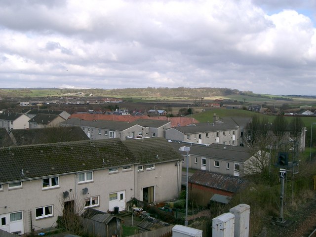
Auchterderran is a small village located in the county of Fife, Scotland. Situated approximately 20 miles north of Edinburgh, it is part of the larger town of Lochgelly. The village is surrounded by picturesque countryside and is known for its rural charm.

Historically, Auchterderran was primarily an agricultural community, with farming being the main occupation of its residents. However, in recent years, the village has seen some industrial development with the establishment of a few small businesses.

In terms of amenities, Auchterderran offers a range of facilities to its residents. There is a local primary school that caters to the educational needs of the village, and nearby secondary schools provide further education options. The village also boasts a community center, which serves as a hub for various social and recreational activities.

For outdoor enthusiasts, Auchterderran provides ample opportunities for exploration and leisure. The surrounding countryside offers beautiful walking trails and scenic spots for picnics and relaxation. Additionally, the village is located close to Loch Ore, a popular destination for water sports such as fishing and boating.

Auchterderran is well-connected to the larger towns and cities in the region, with regular bus services and good road links. This allows residents to easily access employment and leisure opportunities in nearby areas.

In summary, Auchterderran is a tranquil village in Fife, Scotland, offering a peaceful countryside setting, a range of amenities, and convenient access to surrounding areas.

If you have any feedback on the listing, please let us know in the comments section below.

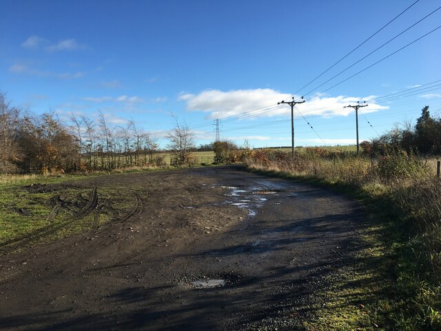
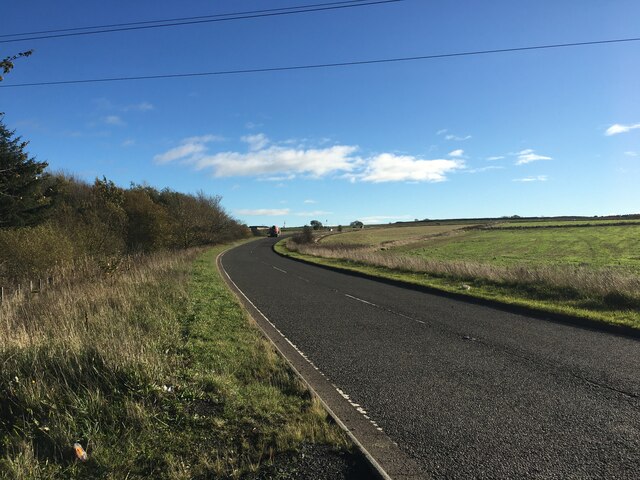
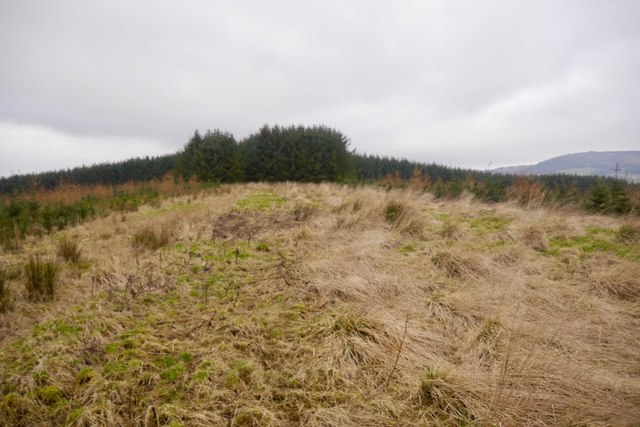
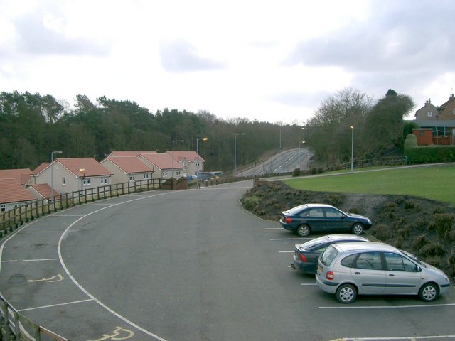
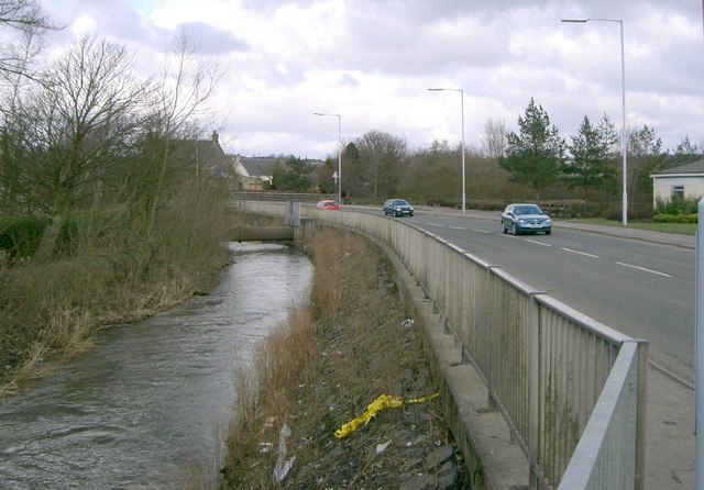
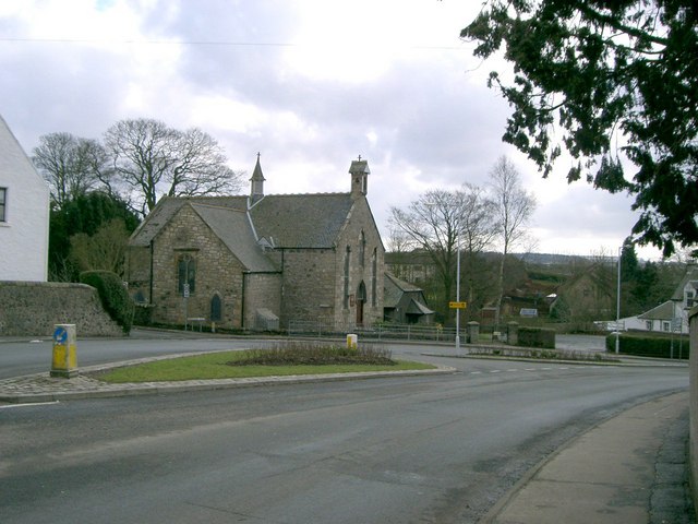
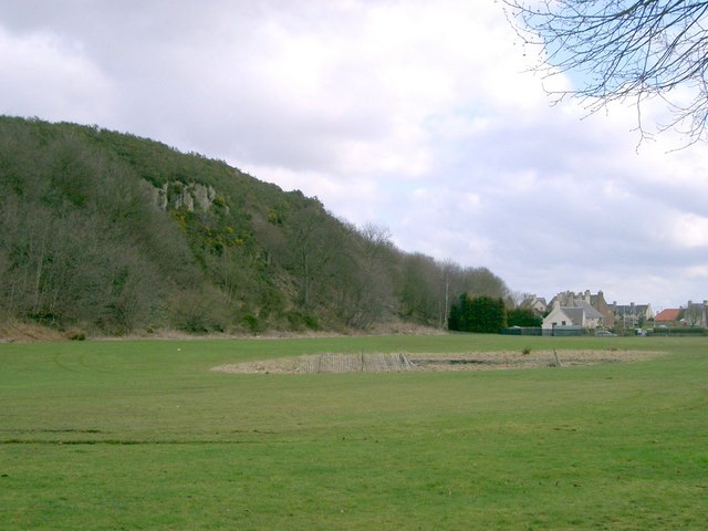
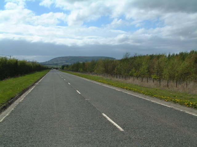
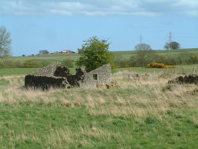
Auchterderran Images

Images are sourced within 2km of 56.15037/-3.266865 or Grid Reference NT2196. Thanks to Geograph Open Source API. All images are credited.
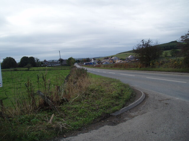
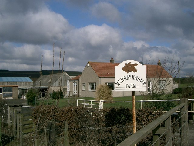
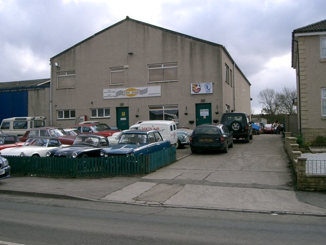
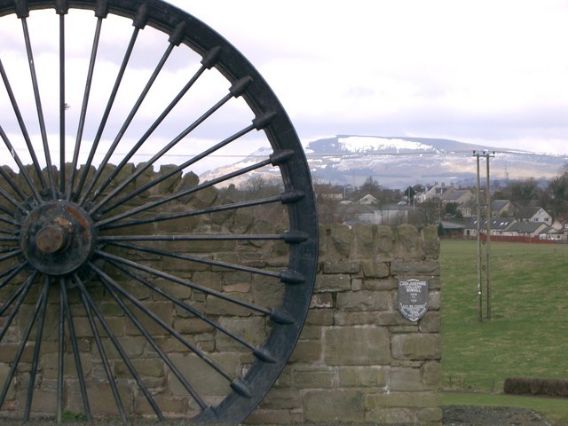
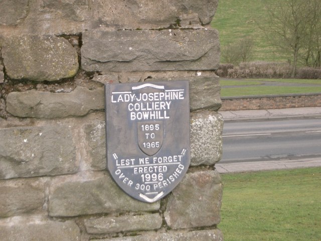
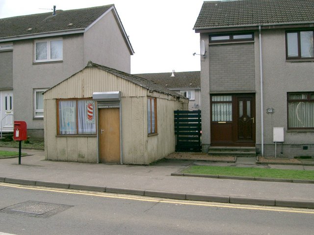
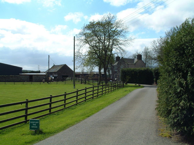
Kinglassie Road, Cardenden
Farm road near Woodend
B9097 towards Glenrothes
The new Hare Law Summit ridge of a massive landscaped bing. To the north there are huge holes at Westfield, the rock from there ended up here.
The new Hare Law
Summit ridge of a massive landscaped bing. To the north there are huge holes at Westfield, the rock from there ended up here.
Brigghills Farm Situated just off the road from Lochgelly to Gardenden [B981]
Brigghills Farm
Situated just off the road from Lochgelly to Gardenden [B981]
Cardenden Cardenden Railway Station car park and new houses.
Cardenden
Cardenden Railway Station car park and new houses.
The River Ore The River Ore where it flows through Bowhill.
The River Ore
The River Ore where it flows through Bowhill.
Auchterderran Parish Church St.Fothads Church of Scotland.
Auchterderran Parish Church
St.Fothads Church of Scotland.
Murrayknowe Farm Situated on the Lochgelly to Cardenden Road (B981)
Murrayknowe Farm
Situated on the Lochgelly to Cardenden Road (B981)
Garage Situated on Jamphlars Road this garage seems to specialize in cars of a certain age.
Garage
Situated on Jamphlars Road this garage seems to specialize in cars of a certain age.
Memorial A view north to Bishop Hill from mining memorial at Jamphlars.
Memorial
A view north to Bishop Hill from mining memorial at Jamphlars.
Plaque Inscription on mining memorial.
Plaque
Inscription on mining memorial.
Barber's Shop Unusual site for a barber's shop on Station Road Cardenden.
Barber's Shop
Unusual site for a barber's shop on Station Road Cardenden.
Cardenden Housing in Cardenden.
Cardenden
Housing in Cardenden.
Craighead Plantation Marked on the 1940'S map as Craighead Plantation this is how it looks today.
Craighead Plantation
Marked on the 1940'S map as Craighead Plantation this is how it looks today.
Screen of trees The plantation to the north (right hand) side of the B9097 here was grown to screen from view the open-cast coal workings on the other side of it.
Screen of trees
The plantation to the north (right hand) side of the B9097 here was grown to screen from view the open-cast coal workings on the other side of it.
Strathruddie Nicely manicured drive into the farm buildings
Strathruddie
Nicely manicured drive into the farm buildings
All that's left of Parknook An old ruin of a farm that has all but disappeared. Modern maps don't even carry its name.
All that's left of Parknook
An old ruin of a farm that has all but disappeared. Modern maps don't even carry its name.
Show me another place!

Auchterderran is located at Grid Ref: NT2196 (Lat: 56.15037, Lng: -3.266865)

Unitary Authority: Fife

Police Authority: Fife

What 3 Words

///boast.stuffy.tuxedos. Near Cardenden, Fife

Nearby Locations

Auchterderran Woodend

Related Wikis

Cardenden railway station

Cardenden railway station is a railway station in Cardenden, Fife, Scotland. The station is managed by ScotRail and is on the Fife Circle Line, 27 miles...

Auchterderran

Auchterderran () is a village in Fife, Scotland. It is sometimes thought as part of the larger village, Cardenden, although Cardenden is part of the parish...

Dundonald Bluebell F.C.

Dundonald Bluebell Football Club are a Scottish football club based in Cardenden, Fife. The team plays in the East of Scotland League Premier Division...

Cardenden

Cardenden ( ) is a Scottish town located on the south bank of the River Ore in the parish of Auchterderran, Fife. It is approximately 4 miles (6.4 km)...

Driftland

Driftland is a purpose-built race track for drifting inspired by the drift tracks of Japan at the Lochgelly Motorsport Complex, Fife, Scotland. The facility...

Kinglassie

Kinglassie (Scottish Gaelic: Cill Ghlaise) is a small village and parish in central Fife, Scotland. It is located two miles southwest of Glenrothes. It...

Fife power station

Fife power station was a 120 megawatt gas-fired combined cycle gas turbine generating station at Cardenden in Fife, Scotland. It was a 1+1 configuration...

Lochgelly railway station

Lochgelly railway station is a railway station in Lochgelly, Scotland. The station is managed by ScotRail and is on the Fife Circle Line, 25 miles (40...

Nearby Amenities

Located within 500m of 56.15037,-3.266865
Auchterderran
Place: village
Source: npe
Wikidata: Q3629442
Wikipedia: en:Auchterderran
Lat/Long: 56.1500722/-3.266636
Direction: both
Surface: asphalt
Traffic Calming: cushion
Lat/Long: 56.1484303/-3.2699227
Mini Roundabout
Lat/Long: 56.1492671/-3.2671304
Crossing
Crossing: traffic_signals
Lat/Long: 56.1469025/-3.2630865
Post Office
Cardenden Post Office
Addr City: Cardenden
Addr Housenumber: 181-185
Addr Postcode: KY5 0BN
Addr Street: Station Road
Brand: Post Office
Brand Wikidata: Q1783168
Check Date: 2023-09-27
Opening Hours: Mo-Su 07:00-22:00
Operator: Co-op Food
Ref Pol Id: 5664
Website: https://www.postoffice.co.uk/branch-finder/1848445/cardenden
Lat/Long: 56.1467122/-3.2630036
Post Box
Collection Times: Mo-Fr 16:45; Sa 10:30
Operator: Royal Mail
Post Box Type: pillar
Ref: KY5 153
Royal Cypher: scottish_crown
Source: survey
Lat/Long: 56.1468734/-3.2635837
Post Box
Brand: Royal Mail
Brand Wikidata: Q638098
Collection Times: Mo-Fr 09:00; Sa 07:00
Operator: Royal Mail
Operator Wikidata: Q638098
Post Box Type: wall
Ref: KY5 32D
Royal Cypher: VR
Royal Cypher Wikidata: Q33102356
Source: survey
Lat/Long: 56.1489748/-3.2664701
Historic: memorial
Memorial: war_memorial
Wikidata: Q77770748
Lat/Long: 56.1493574/-3.2673127
Pub
The Auld Hoose
Lat/Long: 56.1491332/-3.2670099
Power: tower
Lat/Long: 56.1479623/-3.268264
Direction: both
Surface: asphalt
Traffic Calming: table
Lat/Long: 56.1473285/-3.2714387
Direction: both
Surface: asphalt
Traffic Calming: table
Lat/Long: 56.147716/-3.2704984
Turning Circle
Lat/Long: 56.1521903/-3.2662258
Direction: both
Surface: asphalt
Traffic Calming: cushion
Lat/Long: 56.1498583/-3.2618434
Bowhill
Place: village
Lat/Long: 56.1474669/-3.2645665
Bus Stop
Wallsgreen Gardens
Bus: yes
Departures Board: timetable
Naptan AtcoCode: 6500K0866
Naptan Bearing: NW
Naptan CommonName: Wallsgreen Gardens
Naptan Indicator: adj
Naptan Landmark: Wallsgreen Gardens
Naptan NaptanCode: 34327526
Naptan Street: Main Road
Public Transport: platform
Ref: 34327526
Shelter: yes
Lat/Long: 56.1473327/-3.2641452
Bus Stop
Main Street
Bus: yes
Departures Board: timetable
Naptan AtcoCode: 6500K0867
Naptan Bearing: SE
Naptan CommonName: Main Street
Naptan Indicator: adj 10
Naptan Landmark: Kirkburn Dr
Naptan NaptanCode: 34327527
Naptan Street: Main Street
Public Transport: platform
Ref: 34327527
Shelter: yes
Lat/Long: 56.1472838/-3.2637337
Power: pole
Lat/Long: 56.1492921/-3.2701567
Power: pole
Lat/Long: 56.1483963/-3.2685597
Barrier: kissing_gate
Lat/Long: 56.1469463/-3.2641814
Bayne's
Shop: bakery
Lat/Long: 56.1466968/-3.2635089
Pharmacy
Brian Johnston Pharmacy
Addr City: Cardenden
Addr Housenumber: 191
Addr Postcode: KY5 0BN
Addr Street: Station Road
Dispensing: yes
Healthcare: pharmacy
Lat/Long: 56.1467174/-3.2634278
Direction: both
Surface: asphalt
Traffic Calming: cushion
Lat/Long: 56.1480023/-3.2640041
Bus Stop
Bowhill View
Bus: yes
Departures Board: timetable
Naptan AtcoCode: 6500K0863
Naptan Bearing: SW
Naptan CommonName: Bowhill View
Naptan Indicator: adj
Naptan Landmark: Bowhill View
Naptan NaptanCode: 34327538
Naptan Street: Jamphlars Road
Public Transport: platform
Ref: 34327538
Shelter: yes
Lat/Long: 56.1484244/-3.2696369
Bus Stop
Bowhill View
Bus: yes
Departures Board: timetable
Naptan AtcoCode: 6500K0862
Naptan Bearing: NE
Naptan CommonName: Bowhill View
Naptan Indicator: opp
Naptan Landmark: Bowhill View
Naptan NaptanCode: 34327542
Naptan Street: Jamphlars Road
Public Transport: platform
Ref: 34327542
Shelter: yes
Lat/Long: 56.1485672/-3.2695986
Historic: memorial
Lat/Long: 56.1481461/-3.2696625
Co-op Food
Brand: Co-op Food
Brand Wikidata: Q3277439
Brand Wikipedia: en:Co-op Food
Operator: The Co-operative Group
Operator Wikidata: Q117202
Shop: convenience
Website: https://www.coop.co.uk/store-finder/KY5-0BN/179-183-station-road
Lat/Long: 56.1467745/-3.263085
Bus Stop
The Auld Hoose
Bus: yes
Departures Board: timetable
Naptan AtcoCode: 6500K0864
Naptan Bearing: NW
Naptan CommonName: The Auld Hoose
Naptan Indicator: adj
Naptan Landmark: The Auld Hoose
Naptan NaptanCode: 34327545
Naptan Street: Main Street
Public Transport: platform
Ref: 34327545
Shelter: yes
Lat/Long: 56.1489914/-3.2664614
Bus Stop
The Auld Hoose
Bus: yes
Departures Board: timetable
Naptan AtcoCode: 6500K0865
Naptan Bearing: SE
Naptan CommonName: The Auld Hoose
Naptan Indicator: opp
Naptan Landmark: The Auld Hoose
Naptan NaptanCode: 34327547
Naptan Street: Main Street
Public Transport: platform
Ref: 34327547
Shelter: yes
Lat/Long: 56.1492167/-3.266553
Bus Stop
Auchterderran Centre
Bus: yes
Departures Board: timetable
Naptan AtcoCode: 6500K0857
Naptan Bearing: SE
Naptan CommonName: Auchterderran Centre
Naptan Indicator: adj
Naptan Landmark: Auchterderran Centre
Naptan NaptanCode: 34327567
Naptan Street: Woodend Road
Public Transport: platform
Ref: 34327567
Shelter: yes
Lat/Long: 56.1507783/-3.2676568
Bus Stop
Auchterderran Centre
Bus: yes
Departures Board: timetable
Naptan AtcoCode: 6500K0858
Naptan Bearing: NW
Naptan CommonName: Auchterderran Centre
Naptan Indicator: opp
Naptan Landmark: Auchterderran Centre
Naptan NaptanCode: 34327569
Naptan Street: Woodend Road
Public Transport: platform
Ref: 34327569
Shelter: yes
Lat/Long: 56.1508831/-3.2684406
Power: pole
Lat/Long: 56.148524/-3.2740485
Power: pole
Lat/Long: 56.148701/-3.2726784
Power: pole
Lat/Long: 56.1488371/-3.2715424
Power: pole
Lat/Long: 56.1490056/-3.2688151
Power: tower
Lat/Long: 56.1474357/-3.2680884
Power: tower
Lat/Long: 56.1461709/-3.2667789
Power: pole
Lat/Long: 56.1491346/-3.2716318
Power: pole
Lat/Long: 56.1496071/-3.2712189
Power: pole
Lat/Long: 56.1505669/-3.2718908
Power: pole
Lat/Long: 56.1511994/-3.2730534
Power: pole
Lat/Long: 56.1516342/-3.2738982
Power: pole
Lat/Long: 56.1495807/-3.2714721
Power: pole
Lat/Long: 56.1501975/-3.2726197
Power: pole
Lat/Long: 56.150712/-3.2735896
Power: pole
Lat/Long: 56.1513128/-3.2747009
Power: pole
Lat/Long: 56.1544569/-3.2684173
Power: pole
Lat/Long: 56.153881/-3.2677501
Power: pole
Lat/Long: 56.1537736/-3.26659
Power: pole
Lat/Long: 56.1536745/-3.2654409
Power: pole
Lat/Long: 56.1535627/-3.2642496
Power: pole
Lat/Long: 56.1534351/-3.2629019
Power: pole
Lat/Long: 56.1530072/-3.2624744
Post Box
Collection Times: Mo-Fr 09:00; Sa 07:00
Operator: Royal Mail
Post Box Type: lamp
Ref: KY5 156D
Royal Cypher: scottish_crown
Source: survey
Lat/Long: 56.1514709/-3.2642065
Direction: both
Surface: asphalt
Traffic Calming: cushion
Lat/Long: 56.1480738/-3.2712629
Direction: both
Surface: asphalt
Traffic Calming: cushion
Lat/Long: 56.1468046/-3.2710324
Direction: both
Surface: asphalt
Traffic Calming: table
Lat/Long: 56.1482525/-3.2701129
Direction: both
Surface: asphalt
Traffic Calming: cushion
Lat/Long: 56.1479714/-3.2725417
Defibrillator
Emergency: defibrillator
Ref GB The Circuit: 6B6DF8B3-F9B9-429C-B708-ADBC018A60E0
Lat/Long: 56.149896/-3.2664275
Defibrillator
Emergency: defibrillator
Ref GB The Circuit: 484E1EEA-D56E-410F-BD40-ADFA01692E33
Lat/Long: 56.1520148/-3.272917
John Thomson
Cemetery: grave
Historic: memorial
Memorial: grave
Wikidata: Q932330
Wikipedia: en:John Thomson (footballer, born 1909)
Lat/Long: 56.148632/-3.2653229
Generator Method: photovoltaic
Generator Output Electricity: yes
Generator Source: solar
Generator Type: solar_photovoltaic_panel
Power: generator
Lat/Long: 56.1486868/-3.2654427
Generator Method: photovoltaic
Generator Output Electricity: yes
Generator Source: solar
Generator Type: solar_photovoltaic_panel
Power: generator
Lat/Long: 56.148704/-3.2629763
Direction: both
Surface: asphalt
Traffic Calming: cushion
Lat/Long: 56.148931/-3.2627938
Power: pole
Lat/Long: 56.1532645/-3.2614356
Power: pole
Lat/Long: 56.1530069/-3.2621391
Power: pole
Lat/Long: 56.1527154/-3.2627818
Power: pole
Lat/Long: 56.1523224/-3.2635591
Direction: both
Surface: asphalt
Traffic Calming: cushion
Lat/Long: 56.1507732/-3.2636798
Direction: both
Surface: asphalt
Traffic Calming: cushion
Lat/Long: 56.1514108/-3.2639884
Direction: both
Surface: asphalt
Traffic Calming: cushion
Lat/Long: 56.1511142/-3.2648777
Kirk Andrews
Shop: butcher
Lat/Long: 56.1467605/-3.2623094
Fast Food
King Kebab & Pizza House
Lat/Long: 56.1467042/-3.2622529
Atm
Lat/Long: 56.1468074/-3.263651
Scotbet
Shop: bookmaker
Lat/Long: 56.1466732/-3.2635911
Fast Food
Chinese Kitchen
Cuisine: chinese
Lat/Long: 56.1467403/-3.2633466
Pharmacy
Boots
Brand: Boots
Brand Wikidata: Q6123139
Dispensing: yes
Healthcare: pharmacy
Lat/Long: 56.1467597/-3.2632223
Fast Food
Serena
Lat/Long: 56.1467814/-3.2627818
Vip Traditional Turkish Barber
Shop: hairdresser
Lat/Long: 56.1467143/-3.2626944
Dentist
Cardenden Dental Practice
Healthcare: dentist
Phone: +44 1592 721979
Lat/Long: 56.1470073/-3.2630748
YES2
Club: yes
Lat/Long: 56.1470192/-3.2629176
Direction: both
Surface: asphalt
Traffic Calming: cushion
Lat/Long: 56.1471935/-3.2616561
Direction: both
Surface: asphalt
Traffic Calming: cushion
Lat/Long: 56.1490621/-3.2596714
Direction: both
Surface: asphalt
Traffic Calming: cushion
Lat/Long: 56.1499228/-3.2603259
The data included in this document is from www.openstreetmap.org. The data is made available under ODbL.

Have you been to Auchterderran?

Leave your review of Auchterderran below (or comments, questions and feedback).