Woodend

Settlement in Fife

Scotland

Woodend

Kinglassie Road, Cardenden
Kinglassie Road, Cardenden Credit: Douglas Nelson

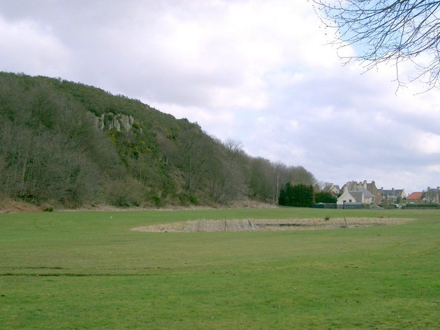
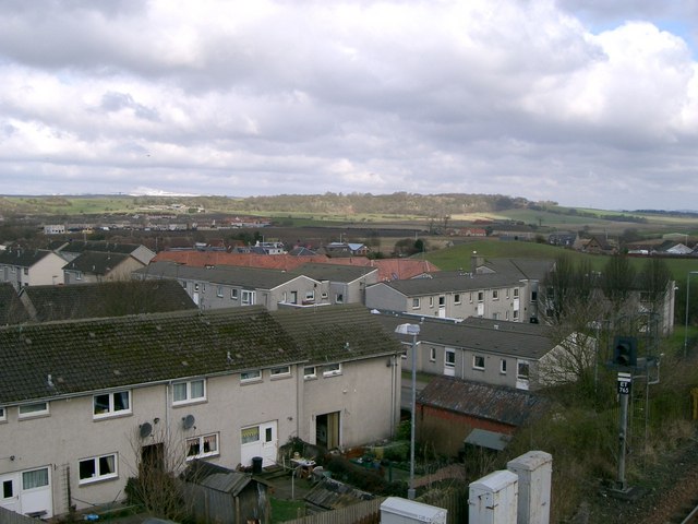
Woodend is a small village located in the region of Fife, Scotland. Situated approximately 6 miles south of the town of Dunfermline, Woodend is nestled amidst the picturesque countryside, offering a tranquil and rural setting. The village is surrounded by rolling hills, fields, and woodlands, providing ample opportunities for outdoor activities and exploration.

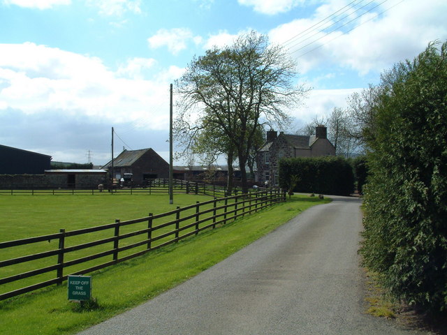
With a population of around 500 residents, Woodend maintains a close-knit community atmosphere. The village primarily consists of residential properties, ranging from traditional stone cottages to modern houses, with a scattering of small businesses and farms. The architectural aesthetics of the village are reflective of its historical roots, showcasing a blend of traditional Scottish design.

Woodend benefits from its close proximity to the larger towns of Dunfermline and Cowdenbeath, which offer a range of amenities including shops, schools, healthcare facilities, and recreational options. The village itself boasts a primary school, making it an appealing location for families with young children.

For nature enthusiasts, Woodend is ideally located near several nature reserves, such as Lochore Meadows Country Park and Blairadam Forest. These areas offer extensive walking and cycling trails, fishing spots, and wildlife watching opportunities.

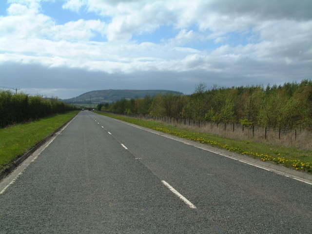
Transport links in Woodend are convenient, with regular bus services connecting the village to surrounding towns and cities. The village is also within easy reach of major road networks, including the M90 motorway, providing easy access to Edinburgh, Glasgow, and other parts of Scotland.

Overall, Woodend presents an idyllic and peaceful setting, with its scenic surroundings, strong community spirit, and convenient location, making it an appealing place to live for those seeking a rural lifestyle.

If you have any feedback on the listing, please let us know in the comments section below.
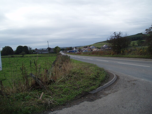
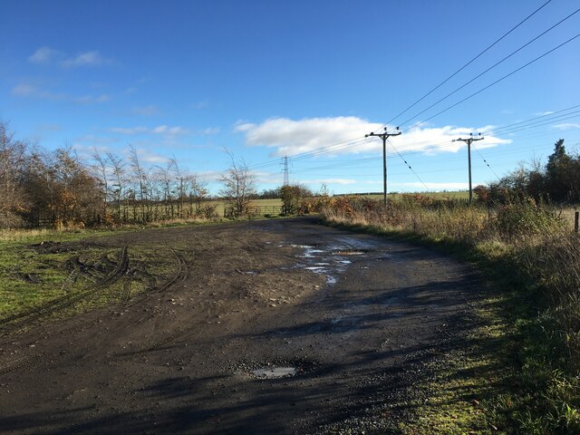
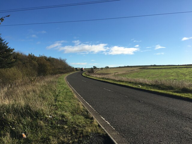
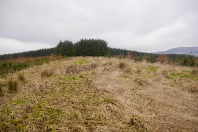
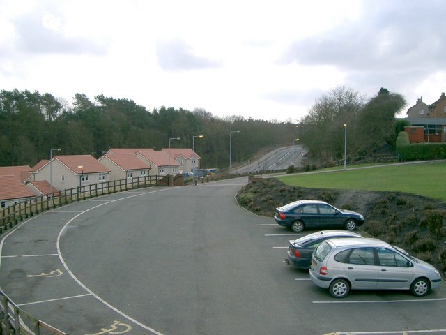
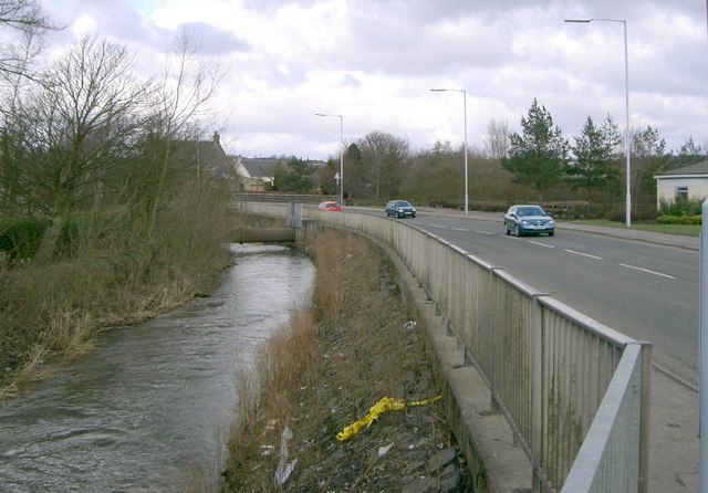
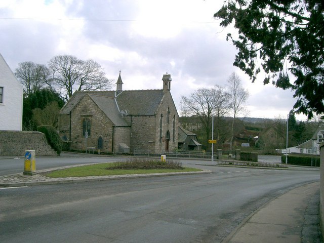
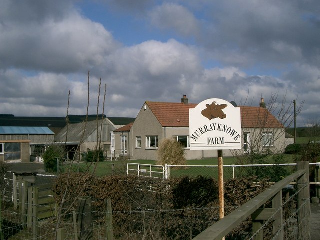
Woodend Images

Images are sourced within 2km of 56.153551/-3.2725413 or Grid Reference NT2196. Thanks to Geograph Open Source API. All images are credited.

Kinglassie Road, Cardenden
Farm road near Woodend
B9097 towards Glenrothes
Ruined buildings at Parknook
The new Hare Law Summit ridge of a massive landscaped bing. To the north there are huge holes at Westfield, the rock from there ended up here.
The new Hare Law
Summit ridge of a massive landscaped bing. To the north there are huge holes at Westfield, the rock from there ended up here.
Cardenden Cardenden Railway Station car park and new houses.
Cardenden
Cardenden Railway Station car park and new houses.
The River Ore The River Ore where it flows through Bowhill.
The River Ore
The River Ore where it flows through Bowhill.
Auchterderran Parish Church St.Fothads Church of Scotland.
Auchterderran Parish Church
St.Fothads Church of Scotland.
Murrayknowe Farm Situated on the Lochgelly to Cardenden Road (B981)
Murrayknowe Farm
Situated on the Lochgelly to Cardenden Road (B981)
Garage Situated on Jamphlars Road this garage seems to specialize in cars of a certain age.
Garage
Situated on Jamphlars Road this garage seems to specialize in cars of a certain age.
Memorial A view north to Bishop Hill from mining memorial at Jamphlars.
Memorial
A view north to Bishop Hill from mining memorial at Jamphlars.
Plaque Inscription on mining memorial.
Plaque
Inscription on mining memorial.
Barber's Shop Unusual site for a barber's shop on Station Road Cardenden.
Barber's Shop
Unusual site for a barber's shop on Station Road Cardenden.
Cardenden Housing in Cardenden.
Cardenden
Housing in Cardenden.
Craighead Plantation Marked on the 1940'S map as Craighead Plantation this is how it looks today.
Craighead Plantation
Marked on the 1940'S map as Craighead Plantation this is how it looks today.
Screen of trees The plantation to the north (right hand) side of the B9097 here was grown to screen from view the open-cast coal workings on the other side of it.
Screen of trees
The plantation to the north (right hand) side of the B9097 here was grown to screen from view the open-cast coal workings on the other side of it.
Strathruddie Nicely manicured drive into the farm buildings
Strathruddie
Nicely manicured drive into the farm buildings
All that's left of Parknook An old ruin of a farm that has all but disappeared. Modern maps don't even carry its name.
All that's left of Parknook
An old ruin of a farm that has all but disappeared. Modern maps don't even carry its name.
Show me another place!

Woodend is located at Grid Ref: NT2196 (Lat: 56.153551, Lng: -3.2725413)

Unitary Authority: Fife

Police Authority: Fife

What 3 Words

///sideburns.supposing.reapply. Near Cardenden, Fife

Nearby Locations

Auchterderran Woodend

Related Wikis

Auchterderran

Auchterderran () is a village in Fife, Scotland. It is sometimes thought as part of the larger village, Cardenden, although Cardenden is part of the parish...

Cardenden railway station

Cardenden railway station is a railway station in Cardenden, Fife, Scotland. The station is managed by ScotRail and is on the Fife Circle Line, 27 miles...

Dundonald Bluebell F.C.

Dundonald Bluebell Football Club are a Scottish football club based in Cardenden, Fife. The team plays in the East of Scotland League Premier Division...

Cardenden

Cardenden ( ) is a Scottish town located on the south bank of the River Ore in the parish of Auchterderran, Fife. It is approximately 4 miles (6.4 km)...

Nearby Amenities

Located within 500m of 56.153551,-3.2725413
Post Box
Collection Times: Mo-Fr 16:30; Sa 10:30
Operator: Royal Mail
Post Box Type: lamp
Ref: KY5 81
Royal Cypher: scottish_crown
Source: survey
Lat/Long: 56.1541751/-3.2734067
Turning Circle
Lat/Long: 56.1521903/-3.2662258
Woodend
Place: neighbourhood
Lat/Long: 56.1537934/-3.274007
Power: pole
Lat/Long: 56.1492921/-3.2701567
Bus Stop
Auchterderran Centre
Bus: yes
Departures Board: timetable
Naptan AtcoCode: 6500K0857
Naptan Bearing: SE
Naptan CommonName: Auchterderran Centre
Naptan Indicator: adj
Naptan Landmark: Auchterderran Centre
Naptan NaptanCode: 34327567
Naptan Street: Woodend Road
Public Transport: platform
Ref: 34327567
Shelter: yes
Lat/Long: 56.1507783/-3.2676568
Bus Stop
Auchterderran Centre
Bus: yes
Departures Board: timetable
Naptan AtcoCode: 6500K0858
Naptan Bearing: NW
Naptan CommonName: Auchterderran Centre
Naptan Indicator: opp
Naptan Landmark: Auchterderran Centre
Naptan NaptanCode: 34327569
Naptan Street: Woodend Road
Public Transport: platform
Ref: 34327569
Shelter: yes
Lat/Long: 56.1508831/-3.2684406
Bus Stop
Muirtonhill Road
Bus: yes
Departures Board: timetable
Naptan AtcoCode: 6500K0855
Naptan Bearing: NW
Naptan CommonName: Muirtonhill Road
Naptan Indicator: adj
Naptan Landmark: Muirtonhill Road
Naptan NaptanCode: 34327582
Naptan Street: Woodend Road
Public Transport: platform
Ref: 34327582
Shelter: yes
Lat/Long: 56.1541216/-3.273383
Bus Stop
Muirtonhill Road
Bus: yes
Departures Board: timetable
Naptan AtcoCode: 6500K0856
Naptan Bearing: SE
Naptan CommonName: Muirtonhill Road
Naptan Indicator: opp
Naptan Landmark: Muirtonhill Road
Naptan NaptanCode: 34327579
Naptan Street: Woodend Road
Public Transport: platform
Ref: 34327579
Lat/Long: 56.1536528/-3.272557
Power: pole
Lat/Long: 56.1491346/-3.2716318
Power: pole
Lat/Long: 56.1496071/-3.2712189
Power: pole
Lat/Long: 56.1505669/-3.2718908
Power: pole
Lat/Long: 56.1511994/-3.2730534
Power: pole
Lat/Long: 56.1516342/-3.2738982
Power: pole
Lat/Long: 56.1521443/-3.2749289
Power: pole
Lat/Long: 56.1526318/-3.2759089
Power: pole
Lat/Long: 56.153061/-3.2767639
Power: pole
Lat/Long: 56.1495807/-3.2714721
Power: pole
Lat/Long: 56.1501975/-3.2726197
Power: pole
Lat/Long: 56.150712/-3.2735896
Power: pole
Lat/Long: 56.1513128/-3.2747009
Power: pole
Lat/Long: 56.1519758/-3.2759507
Power: pole
Lat/Long: 56.1526155/-3.2771288
Power: pole
Lat/Long: 56.1524543/-3.2783013
Power: pole
Lat/Long: 56.1523034/-3.2794544
Power: pole
Lat/Long: 56.1524424/-3.2794752
Power: pole
Lat/Long: 56.1526115/-3.2782656
Power: pole
Lat/Long: 56.1541411/-3.2772279
Power: pole
Lat/Long: 56.1525722/-3.279639
Power: pole
Lat/Long: 56.1527262/-3.2785251
Power: pole
Lat/Long: 56.1528711/-3.2774477
Power: pole
Lat/Long: 56.1544817/-3.2762419
Power: pole
Lat/Long: 56.1548554/-3.2751559
Power: pole
Lat/Long: 56.1552414/-3.2740699
Power: pole
Lat/Long: 56.1556274/-3.2729727
Power: pole
Lat/Long: 56.1560073/-3.2718645
Power: pole
Lat/Long: 56.156416/-3.2707525
Power: pole
Lat/Long: 56.1555721/-3.2697458
Power: pole
Lat/Long: 56.1550081/-3.2690697
Power: pole
Lat/Long: 56.1544569/-3.2684173
Power: pole
Lat/Long: 56.153881/-3.2677501
Power: pole
Lat/Long: 56.1537736/-3.26659
Power: pole
Lat/Long: 56.1536745/-3.2654409
Power: pole
Lat/Long: 56.1527702/-3.2772386
Power: pole
Lat/Long: 56.1534505/-3.2772301
Power: pole
Lat/Long: 56.1517498/-3.279199
Power: pole
Lat/Long: 56.1522077/-3.2780862
Power: pole
Lat/Long: 56.1526356/-3.2768673
Direction: both
Traffic Calming: table
Lat/Long: 56.1549385/-3.2716768
Defibrillator
Emergency: defibrillator
Ref GB The Circuit: 484E1EEA-D56E-410F-BD40-ADFA01692E33
Lat/Long: 56.1520148/-3.272917
Addr Housenumber: 6
Addr Street: Pilgrims Way Avenue
Lat/Long: 56.1553099/-3.2733356
Addr Housenumber: 8
Addr Street: Pilgrims Way Avenue
Lat/Long: 56.1552662/-3.2732645
Addr Housenumber: 10
Addr Street: Pilgrims Way Avenue
Lat/Long: 56.155348/-3.2730413
Addr Housenumber: 12
Addr Street: Pilgrims Way Avenue
Lat/Long: 56.1553971/-3.273074
Addr Housenumber: 4
Addr Street: Kinglassie Road
Lat/Long: 56.1545992/-3.2735016
Addr Housenumber: 6
Addr Street: Kinglassie Road
Lat/Long: 56.1546781/-3.2732751
Addr Housenumber: 8
Addr Street: Kinglassie Road
Lat/Long: 56.1547275/-3.2733057
Addr Housenumber: 2
Addr Street: Kinglassie Road
Lat/Long: 56.1546438/-3.2735709
Addr Housenumber: 12
Addr Street: Kinglassie Road
Lat/Long: 56.1546622/-3.2731032
Addr Housenumber: 14
Addr Street: Kinglassie Road
Lat/Long: 56.15454/-3.2729506
Addr Housenumber: 16
Addr Street: Kinglassie Road
Lat/Long: 56.1545595/-3.2728634
Addr Housenumber: 10
Addr Street: Kinglassie Road
Lat/Long: 56.1547029/-3.2730266
Bicycle Parking
Lat/Long: 56.1551714/-3.2736408
The data included in this document is from www.openstreetmap.org. The data is made available under ODbL.

Have you been to Woodend?

Leave your review of Woodend below (or comments, questions and feedback).