Boyton Wood
Wood, Forest in Suffolk East Suffolk
England
Boyton Wood
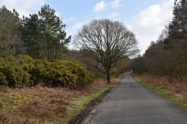
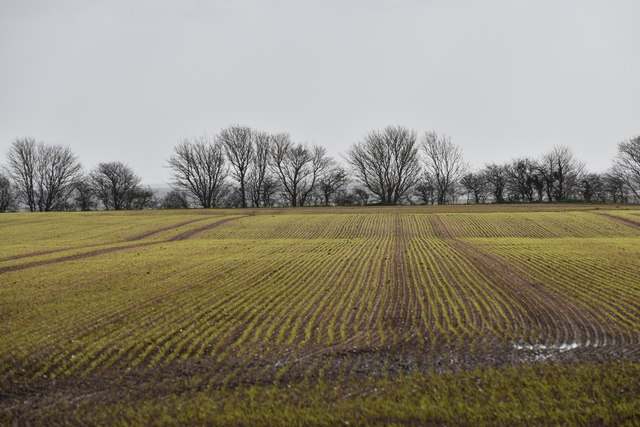
Boyton Wood is a picturesque woodland located in the county of Suffolk, England. Covering an area of approximately 50 acres, it is situated near the village of Boyton, offering a serene and peaceful retreat for nature lovers and outdoor enthusiasts.
This ancient woodland is predominantly comprised of deciduous trees, including oak, ash, beech, and birch, which create a diverse and vibrant ecosystem. The wood boasts a rich variety of flora and fauna, with an array of wildflowers carpeting the forest floor during springtime and a plethora of bird species inhabiting the trees throughout the year.
Walking through Boyton Wood, visitors can enjoy a network of well-maintained footpaths and trails, allowing them to explore the natural beauty at their own pace. The wood is also home to a small stream, which adds to its charm and provides a tranquil backdrop for those seeking a moment of relaxation.
In addition to its natural beauty, Boyton Wood holds historical significance. It is believed to have been in existence for centuries, with evidence of human activity dating back to the Iron Age. Archaeological finds, such as pottery and tools, have been discovered in the area, offering insights into the lives of past inhabitants.
Boyton Wood is a popular destination for nature walks, picnics, and birdwatching. Its accessibility and proximity to the village of Boyton make it a favored spot for local residents and visitors alike, seeking solace in the enchanting beauty of this Suffolk woodland.
If you have any feedback on the listing, please let us know in the comments section below.
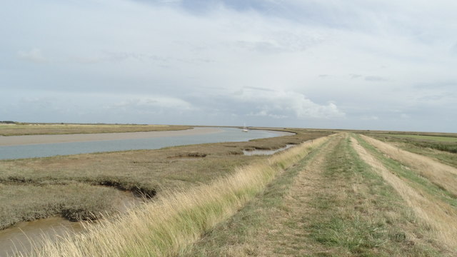
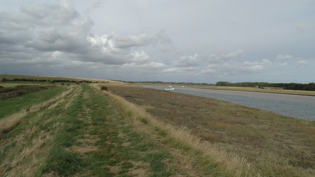
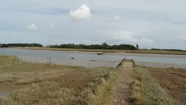
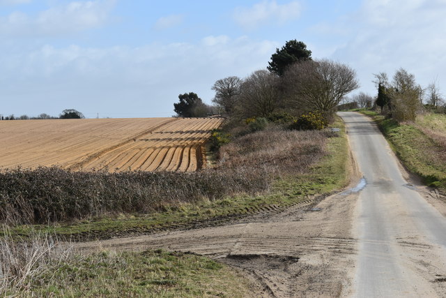
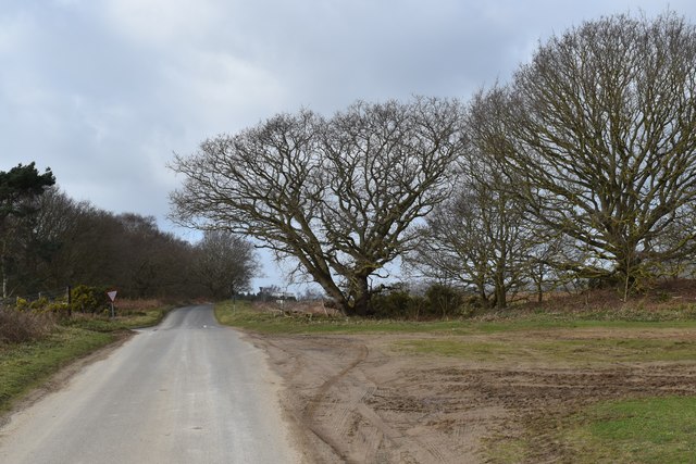
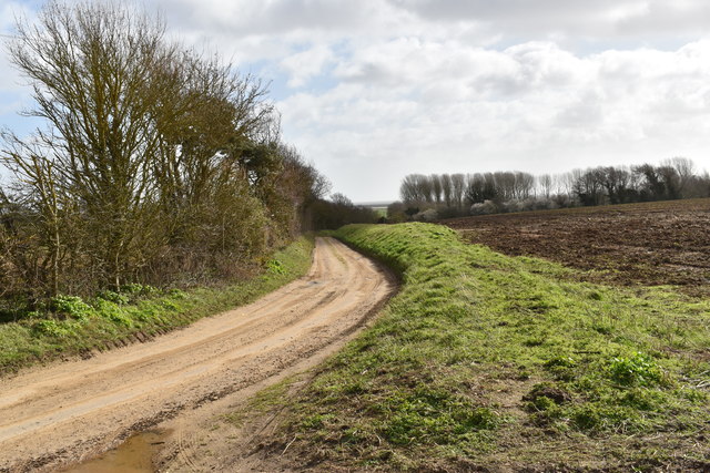
Boyton Wood Images
Images are sourced within 2km of 52.07237/1.4644466 or Grid Reference TM3747. Thanks to Geograph Open Source API. All images are credited.

Boyton Wood is located at Grid Ref: TM3747 (Lat: 52.07237, Lng: 1.4644466)
Administrative County: Suffolk
District: East Suffolk
Police Authority: Suffolk
What 3 Words
///pimples.took.leaky. Near Rendlesham, Suffolk
Nearby Locations
Related Wikis

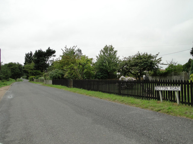
Boyton, Suffolk
Boyton is a village and civil parish in the East Suffolk district of Suffolk, England, about eight miles east of Woodbridge, and close to Orford Ness....

Capel St Andrew
Capel St Andrew is a village and a civil parish in the East Suffolk district, in the county of Suffolk, England. It is near the larger settlement of Orford...

Simpson's Saltings
Simpson's Saltings is a 25 hectare nature reserve on the Suffolk coast east of Hollesley. It is managed by the Suffolk Wildlife Trust. It is in the Suffolk...

Butley Priory
Butley Priory, sometimes called Butley Abbey, was a religious house of Canons regular (Augustinians, Black canons) in Butley, Suffolk, dedicated to The...

Rendlesham Forest incident
The Rendlesham Forest incident was a series of reported sightings of unexplained lights near Rendlesham Forest in Suffolk, England, in December 1980, which...

HM Prison Hollesley Bay
HM Prison Hollesley Bay, known locally as Hollesley Bay Colony (to which signposts still point) or simply The Colony, is a Category D men's prison and...

Rendlesham Forest
Rendlesham Forest is a 1,500-hectare (3,700-acre) mixed woodland in Suffolk owned by Forestry England with recreation facilities for walkers, cyclists...

Butley River
The Butley River or Butley Creek is a tributary of the River Ore in the English county of Suffolk. The river has its source in the Rendlesham Forest area...
Nearby Amenities
Located within 500m of 52.07237,1.4644466Have you been to Boyton Wood?
Leave your review of Boyton Wood below (or comments, questions and feedback).