Boyton

Settlement in Suffolk East Suffolk

England

Boyton

Roadsign near Hayhall Cottages
Roadsign near Hayhall Cottages Credit: Adrian S Pye

Boyton is a small village located in the county of Suffolk, England. Situated on the eastern coast of the country, it is part of the East Suffolk district. With a population of around 400 residents, Boyton is a tranquil and close-knit community.

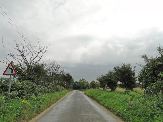
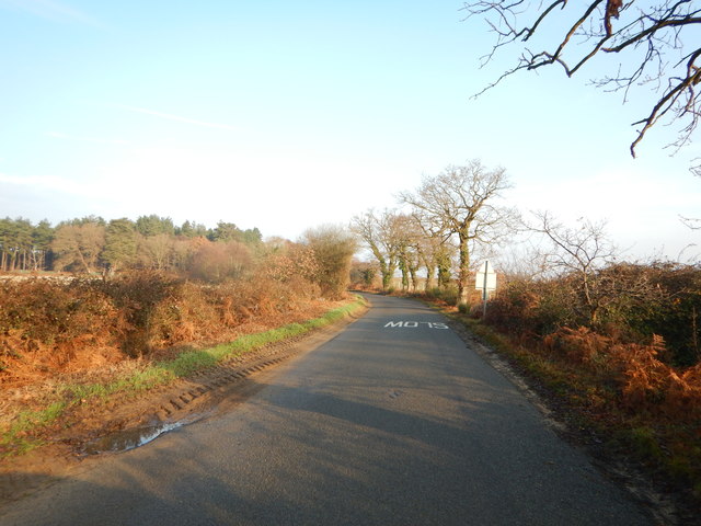
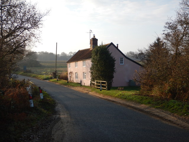
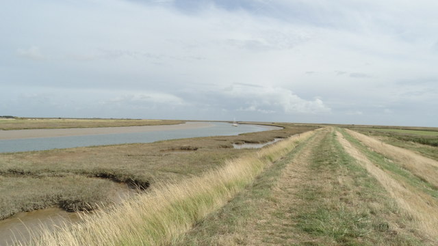
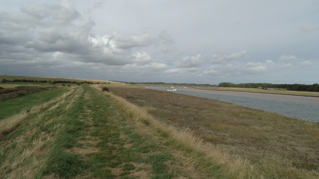
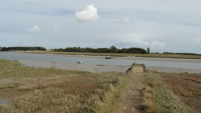
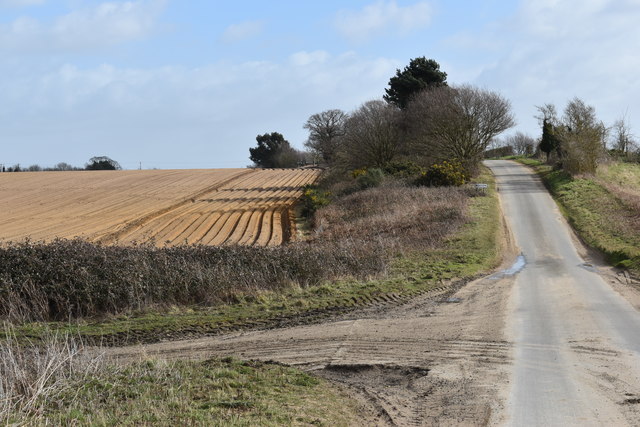
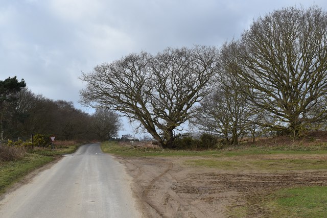
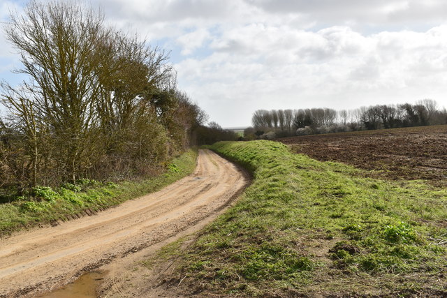
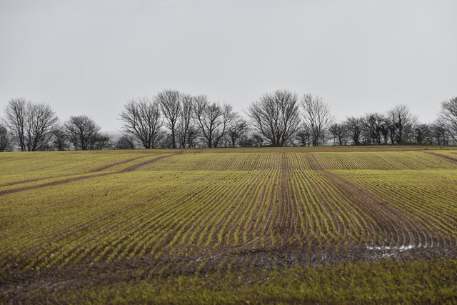
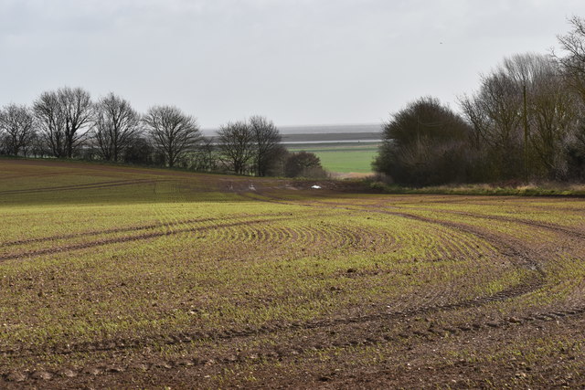
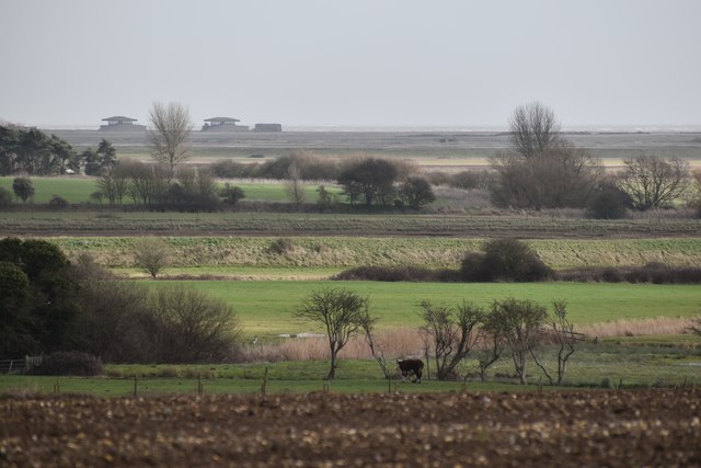
The village is surrounded by picturesque countryside, characterized by rolling hills, farmlands, and woodland areas. It is situated near the River Ore, which offers scenic views and recreational opportunities for locals and visitors alike. The nearby RSPB Boyton Marshes nature reserve is a popular attraction, providing a haven for birdwatching enthusiasts.

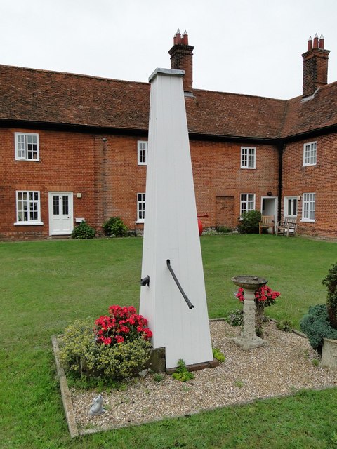
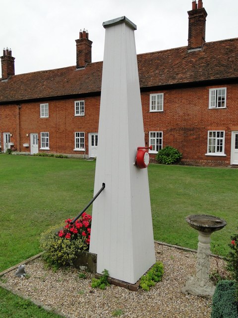
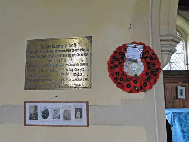
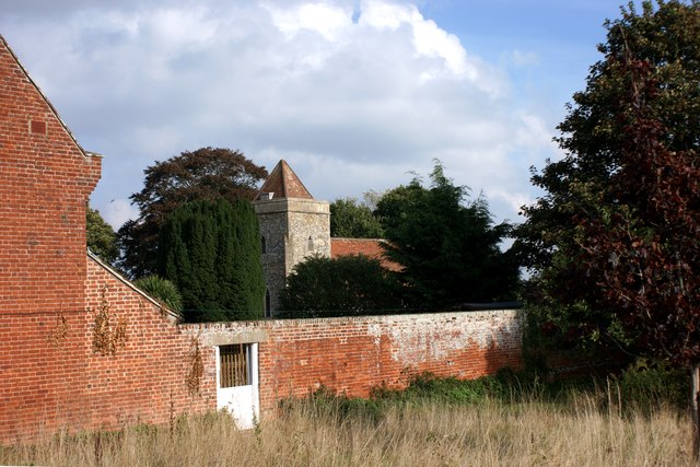
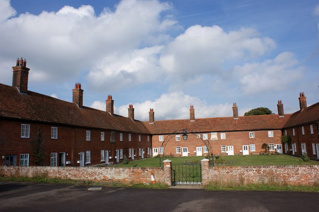
Boyton boasts a rich history, with evidence of human habitation dating back to ancient times. The village is home to the Grade II listed St. Andrew's Church, a medieval church that stands as a testament to its historical significance.

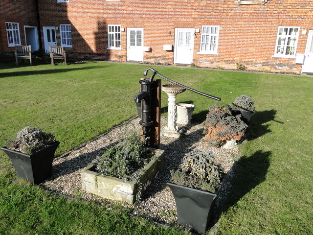
Despite its small size, Boyton offers several amenities to its residents. These include a community hall, a local pub, and a primary school. The village also benefits from good transportation links, with nearby train stations and major roads connecting it to larger towns and cities in the region.

The community of Boyton is known for its strong sense of community spirit. Various events and activities are organized throughout the year, fostering a sense of belonging among its residents. The village also enjoys a peaceful and idyllic setting, making it an attractive place for those seeking a tranquil countryside lifestyle.

If you have any feedback on the listing, please let us know in the comments section below.

Boyton Images

Images are sourced within 2km of 52.071466/1.468274 or Grid Reference TM3747. Thanks to Geograph Open Source API. All images are credited.

Roadsign near Hayhall Cottages
Boxed in village pump at Boyton Almshouses
Boxed-in village pump at Boyton Almshouses with firebell
Boyton War Memorial The brass plated memorial bears four names from WW1 and one from WW2. However Arthur C.  GROSS who died in 1918 is buried in the churchyard although his name is remembered on the Wickham Market War Memorial.
Boyton War Memorial
The brass plated memorial bears four names from WW1 and one from WW2. However Arthur C. GROSS who died in 1918 is buried in the churchyard although his name is remembered on the Wickham Market War Memorial.
The water pump at the Mary Warner Almshouses, Boyton Until recently the pump was enclosed. viz <a title="https://www.geograph.org.uk/photo/4637494" href="https://www.geograph.org.uk/photo/4637494">Link</a> <a title="https://www.geograph.org.uk/photo/4637497" href="https://www.geograph.org.uk/photo/4637497">Link</a>
The water pump at the Mary Warner Almshouses, Boyton
Until recently the pump was enclosed. viz Link Link
Minor Road towards Hollesley Close to The Tang.
Minor Road towards Hollesley
Close to The Tang.
Isolated Building - Wash Cottage
Boyton church from the south west Viewed over the wall of the Mary Warner Almshouses adjacent to the churchyard.
Boyton church from the south west
Viewed over the wall of the Mary Warner Almshouses adjacent to the churchyard.
The Mary Warner Almshouses, Boyton
On the Suffolk Coast Path - Butley River below Boyton Dock
On the Suffolk Coast Path approaching Butley Ferry on Butley River
On the Suffolk Coast Path - western jetty at Butley Ferry on Butley River
The lane towards Boyton Looking east from the crossroads just above Valley Farm.
The lane towards Boyton
Looking east from the crossroads just above Valley Farm.
Winter trees near Valley Farm Looking west towards the crossroads above Valley Farm.
Winter trees near Valley Farm
Looking west towards the crossroads above Valley Farm.
The lane to Boyton Hall Farm Looking south-east as the lane starts to descend towards Boyton Marshes.
The lane to Boyton Hall Farm
Looking south-east as the lane starts to descend towards Boyton Marshes.
Emerging winter cereal crop near Boyton Hall Farm Looking south-east from the Mill Lane.
Emerging winter cereal crop near Boyton Hall Farm
Looking south-east from the Mill Lane.
Winter cereal crop near Boyton Hall Farm Looking south-east from Mill Lane, with Boyton Marshes visible in the distance.
Winter cereal crop near Boyton Hall Farm
Looking south-east from Mill Lane, with Boyton Marshes visible in the distance.
Pasture on the floodplain of Butley River Looking west from the lane above Banters Barn Farm, with concrete structures on Orford Ness visible in the background.
Pasture on the floodplain of Butley River
Looking west from the lane above Banters Barn Farm, with concrete structures on Orford Ness visible in the background.
Show me another place!

Boyton is located at Grid Ref: TM3747 (Lat: 52.071466, Lng: 1.468274)

Administrative County: Suffolk

District: East Suffolk

Police Authority: Suffolk

What 3 Words

///blur.unfounded.compounds. Near Rendlesham, Suffolk

Related Wikis

Boyton, Suffolk

Boyton is a village and civil parish in the East Suffolk district of Suffolk, England, about eight miles east of Woodbridge, and close to Orford Ness....

Capel St Andrew

Capel St Andrew is a village and a civil parish in the East Suffolk district, in the county of Suffolk, England. It is near the larger settlement of Orford...

Simpson's Saltings

Simpson's Saltings is a 25 hectare nature reserve on the Suffolk coast east of Hollesley. It is managed by the Suffolk Wildlife Trust. It is in the Suffolk...

Butley Priory

Butley Priory, sometimes called Butley Abbey, was a religious house of Canons regular (Augustinians, Black canons) in Butley, Suffolk, dedicated to The...

Rendlesham Forest incident

The Rendlesham Forest incident was a series of reported sightings of unexplained lights near Rendlesham Forest in Suffolk, England, in December 1980, which...

Butley River

The Butley River or Butley Creek is a tributary of the River Ore in the English county of Suffolk. The river has its source in the Rendlesham Forest area...

HM Prison Hollesley Bay

HM Prison Hollesley Bay, known locally as Hollesley Bay Colony (to which signposts still point) or simply The Colony, is a Category D men's prison and...

HM Prison Warren Hill

HM Prison Warren Hill is a male prison located near the village of Hollesley in Suffolk, England. The prison is operated by His Majesty's Prison Service...

Nearby Amenities

Located within 500m of 52.071466,1.468274
Boyton
Place: hamlet
Wikidata: Q2019701
Wikipedia: en:Boyton, Suffolk
Lat/Long: 52.0712926/1.4675698
Bus Stop
Old Bell
Naptan AtcoCode: 390060506
Naptan Bearing: SW
Naptan BusStopType: CUS
Naptan CommonName: Old Bell
Naptan Indicator: o/s
Naptan Landmark: Old Bell
Naptan NaptanCode: sufgpwam
Naptan Street: Dock Farm Road
Naptan Verified: no
Source: naptan_import
Lat/Long: 52.0710662/1.4669083
Power: pole
Lat/Long: 52.0700762/1.4722436
Power: pole
Lat/Long: 52.0681751/1.4686729
Power: pole
Lat/Long: 52.0689945/1.4703144
Power: pole
Lat/Long: 52.0674392/1.4668865
Power: pole
Lat/Long: 52.0678123/1.4679139
Power: pole
Lat/Long: 52.0694908/1.4710896
Power: pole
Lat/Long: 52.0686062/1.4695554
Community Centre
Boyton Village Hall
Lat/Long: 52.0719597/1.468231
Place Of Worship
Boyton Mission
Religion: christian
Lat/Long: 52.0726144/1.4702145
Post Box
Collection Times: Mo-Fr 15:30; Sa 07:15
Post Box Type: lamp
Ref: IP12 6271
Royal Cypher: EIIR
Royal Cypher Wikidata: Q33102113
Lat/Long: 52.072552/1.470464
Boyton Wood
Place: locality
Lat/Long: 52.0723053/1.4644544
Parking
Access: private
Lat/Long: 52.0711058/1.4675398
Parking
Access: private
Lat/Long: 52.071072/1.4673226
Parking
Access: private
Lat/Long: 52.0709789/1.4669377
Parking
Access: private
Lat/Long: 52.0708428/1.4669766
Parking
Access: private
Lat/Long: 52.0703911/1.4653189
Parking
Access: private
Lat/Long: 52.0708906/1.4691089
Parking
Access: private
Lat/Long: 52.0707307/1.4693007
Parking
Access: private
Lat/Long: 52.0706005/1.4698854
Parking
Access: private
Lat/Long: 52.0737535/1.4729579
Parking
Access: private
Lat/Long: 52.0732054/1.4722712
Parking
Access: private
Lat/Long: 52.0734972/1.4726709
Parking
Access: private
Lat/Long: 52.071396/1.4671147
Parking
Access: private
Lat/Long: 52.0713197/1.4668988
Parking
Access: private
Lat/Long: 52.0721061/1.4682097
Parking
Access: private
Lat/Long: 52.0715979/1.4681379
Parking
Access: private
Lat/Long: 52.0731213/1.4713298
Parking
Access: private
Lat/Long: 52.0728419/1.4710253
Parking
Access: private
Lat/Long: 52.072813/1.4707947
Parking
Access: private
Lat/Long: 52.0724099/1.4696923
Parking
Access: private
Lat/Long: 52.0724355/1.4699471
Parking
Access: private
Lat/Long: 52.0721601/1.4694288
Power: pole
Lat/Long: 52.0703037/1.4727339
Power: pole
Lat/Long: 52.0707241/1.4735493
Power: pole
Lat/Long: 52.071626/1.4750004
Power: pole
Lat/Long: 52.0711495/1.4743566
Entrance: yes
Lat/Long: 52.0719457/1.4682561
The data included in this document is from www.openstreetmap.org. The data is made available under ODbL.

Have you been to Boyton?

Leave your review of Boyton below (or comments, questions and feedback).