Capel Wood

Wood, Forest in Suffolk East Suffolk

England

Capel Wood

Boyton Road
Boyton Road Credit: Adrian S Pye

Capel Wood is a pristine woodland located in Suffolk, England. Spread over an area of approximately 100 acres, this enchanting forest is a haven for nature lovers and outdoor enthusiasts. The wood is situated near the village of Capel St. Mary, just a few miles south of Ipswich.

The ancient woodland boasts a diverse range of flora and fauna, offering visitors a truly immersive natural experience. Tall, majestic oak trees dominate the landscape, interspersed with beech, birch, and ash trees. The forest floor is carpeted with a variety of wildflowers, including bluebells, primroses, and wood anemones, creating a stunning visual spectacle during springtime.

Capel Wood is home to a rich variety of wildlife, providing a habitat for numerous species. Birdwatchers can spot various woodland birds, such as woodpeckers, owls, and warblers, while the lucky observer may even catch a glimpse of a red squirrel or a roe deer. The wood also supports a diverse range of insects, including butterflies and beetles, which thrive in the lush undergrowth.

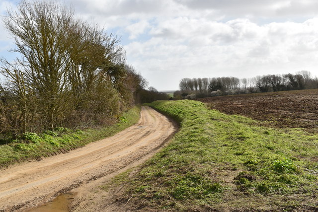
For outdoor enthusiasts, Capel Wood offers a network of well-maintained footpaths and trails, allowing visitors to explore the forest at their own pace. The wood is a popular destination for walkers, joggers, and dog owners, who can enjoy the tranquility and natural beauty of the surroundings.

Capel Wood, Suffolk, is a true gem of nature, providing a peaceful and immersive woodland experience for all who venture into its depths.

If you have any feedback on the listing, please let us know in the comments section below.
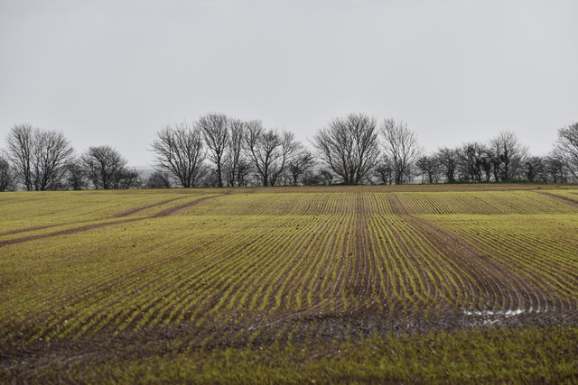
Capel Wood Images

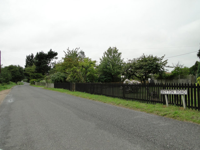
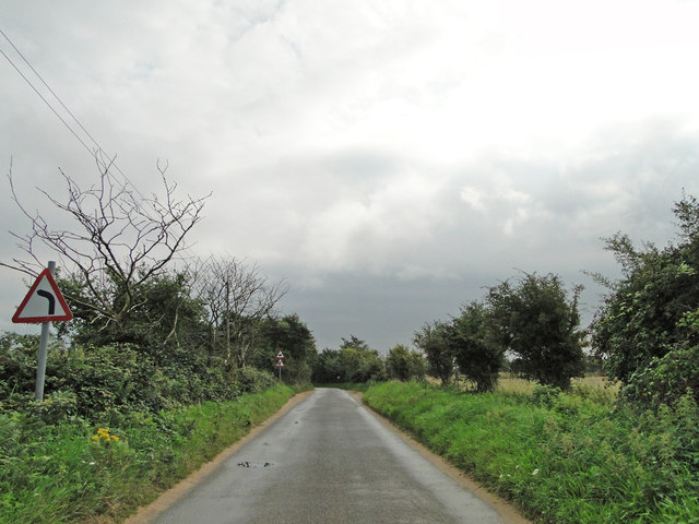
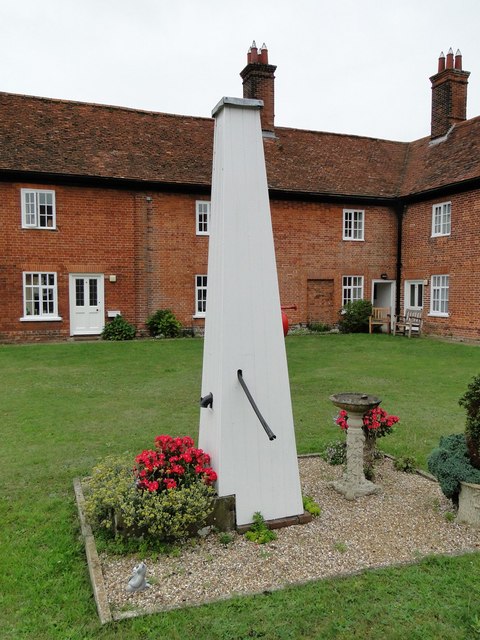
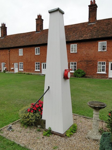
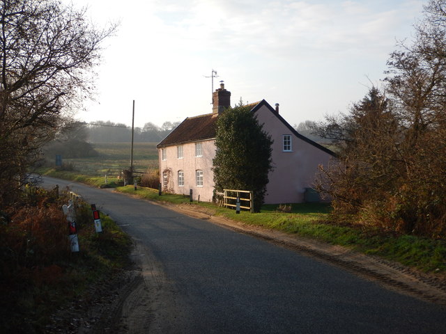
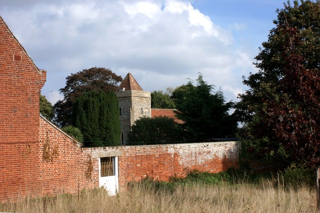
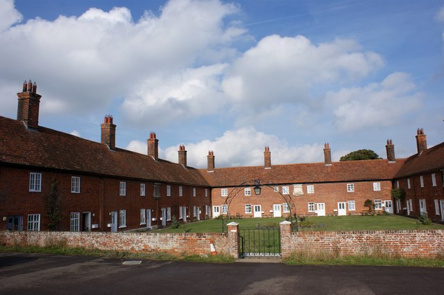
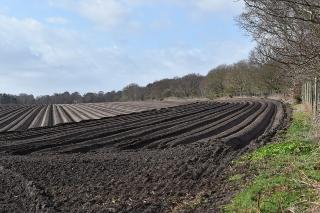
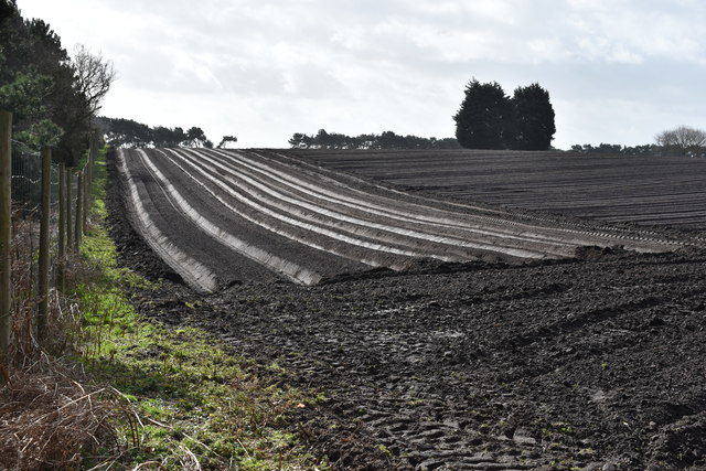
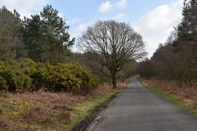
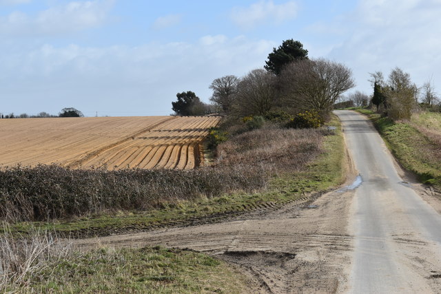
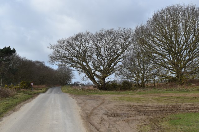
Images are sourced within 2km of 52.075656/1.4582056 or Grid Reference TM3747. Thanks to Geograph Open Source API. All images are credited.

Boyton Road
Boyton Road
Roadsign near Hayhall Cottages
Boxed in village pump at Boyton Almshouses
Boxed-in village pump at Boyton Almshouses with firebell
Boyton War Memorial The brass plated memorial bears four names from WW1 and one from WW2. However Arthur C.  GROSS who died in 1918 is buried in the churchyard although his name is remembered on the Wickham Market War Memorial.
Boyton War Memorial
The brass plated memorial bears four names from WW1 and one from WW2. However Arthur C. GROSS who died in 1918 is buried in the churchyard although his name is remembered on the Wickham Market War Memorial.
Red Crag Formation A series of Pliocene to Pleistocene deposits representing a tidal dune system with herringbone cross stratification and lenticular bedding. There are also several rhythmite beds depicting storm surges.
Red Crag Formation
A series of Pliocene to Pleistocene deposits representing a tidal dune system with herringbone cross stratification and lenticular bedding. There are also several rhythmite beds depicting storm surges.
The water pump at the Mary Warner Almshouses, Boyton Until recently the pump was enclosed. viz <a title="https://www.geograph.org.uk/photo/4637494" href="https://www.geograph.org.uk/photo/4637494">Link</a> <a title="https://www.geograph.org.uk/photo/4637497" href="https://www.geograph.org.uk/photo/4637497">Link</a>
The water pump at the Mary Warner Almshouses, Boyton
Until recently the pump was enclosed. viz Link Link
Minor Road towards Hollesley Close to The Tang.
Minor Road towards Hollesley
Close to The Tang.
Isolated Building - Wash Cottage
Boyton church from the south west Viewed over the wall of the Mary Warner Almshouses adjacent to the churchyard.
Boyton church from the south west
Viewed over the wall of the Mary Warner Almshouses adjacent to the churchyard.
The Mary Warner Almshouses, Boyton
Cultivated fields on Hollesley Heath Looking south-west from the edge of Rendlesham Forest.  The soil has been ridged up ready for carrots to be sown.
Cultivated fields on Hollesley Heath
Looking south-west from the edge of Rendlesham Forest. The soil has been ridged up ready for carrots to be sown.
Carrot field on Hollesley Heath Looking south from the road along the edge of Rendlesham Forest.
Carrot field on Hollesley Heath
Looking south from the road along the edge of Rendlesham Forest.
The road towards Boyton Looking east from Hollesley Heath.  The forest either side of the road is part of Rendlesham Forest and was planted in the 1920s on what was once Boyton Heath.
The road towards Boyton
Looking east from Hollesley Heath. The forest either side of the road is part of Rendlesham Forest and was planted in the 1920s on what was once Boyton Heath.
The lane towards Boyton Looking east from the crossroads just above Valley Farm.
The lane towards Boyton
Looking east from the crossroads just above Valley Farm.
Winter trees near Valley Farm Looking west towards the crossroads above Valley Farm.
Winter trees near Valley Farm
Looking west towards the crossroads above Valley Farm.
The lane to Boyton Hall Farm Looking south-east as the lane starts to descend towards Boyton Marshes.
The lane to Boyton Hall Farm
Looking south-east as the lane starts to descend towards Boyton Marshes.
Emerging winter cereal crop near Boyton Hall Farm Looking south-east from the Mill Lane.
Emerging winter cereal crop near Boyton Hall Farm
Looking south-east from the Mill Lane.
Show me another place!

Capel Wood is located at Grid Ref: TM3747 (Lat: 52.075656, Lng: 1.4582056)

Administrative County: Suffolk

District: East Suffolk

Police Authority: Suffolk

What 3 Words

///anyway.attends.riverbed. Near Rendlesham, Suffolk

Related Wikis

Boyton, Suffolk

Boyton is a village and civil parish in the East Suffolk district of Suffolk, England, about eight miles east of Woodbridge, and close to Orford Ness....

Capel St Andrew

Capel St Andrew is a village and a civil parish in the East Suffolk district, in the county of Suffolk, England. It is near the larger settlement of Orford...

Rendlesham Forest incident

The Rendlesham Forest incident was a series of reported sightings of unexplained lights near Rendlesham Forest in Suffolk, England, in December 1980, which...

Butley Priory

Butley Priory, sometimes called Butley Abbey, was a religious house of Canons regular (Augustinians, Black canons) in Butley, Suffolk, dedicated to The...

Nearby Amenities

Located within 500m of 52.075656,1.4582056
Ely Hill
Nat Gaz Id: E0025135
Place: hamlet
Lat/Long: 52.0757545/1.4518885
Laurel Farm
Place: farm
Lat/Long: 52.0769226/1.4616915
Building: yes
Lat/Long: 52.0770319/1.4607558
Building: yes
Lat/Long: 52.077144/1.4604071
Building: yes
Lat/Long: 52.0770781/1.4615282
Building: yes
Lat/Long: 52.0776902/1.4581364
The data included in this document is from www.openstreetmap.org. The data is made available under ODbL.

Have you been to Capel Wood?

Leave your review of Capel Wood below (or comments, questions and feedback).