Boyten's Plantation
Wood, Forest in Norfolk North Norfolk
England
Boyten's Plantation

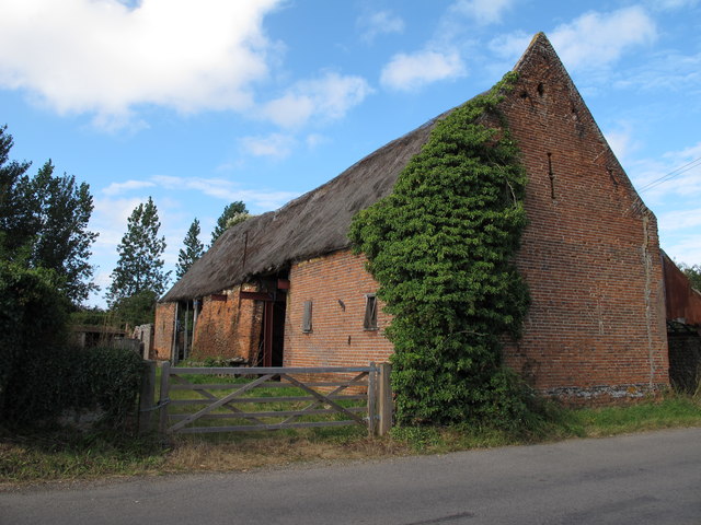
Boyten's Plantation is a picturesque woodland located in Norfolk, England. Covering a vast area, this plantation is renowned for its rich biodiversity and breathtaking natural beauty. The plantation is primarily composed of dense forests, filled with a variety of indigenous tree species including oak, beech, and birch.
The woodland is known for its tranquil ambiance and is a popular destination for nature enthusiasts and hikers. It offers visitors a chance to immerse themselves in the serenity of nature, with its peaceful walking trails and abundance of wildlife. Birdwatchers are particularly drawn to Boyten's Plantation due to its diverse avian population, including great tits, woodpeckers, and tawny owls.
The management of Boyten's Plantation has implemented sustainable practices to ensure the preservation of its natural resources. This includes controlled logging and the careful management of the undergrowth to encourage the growth of new plants and shrubs. The plantation also serves as a habitat for various animals, such as deer, foxes, and rabbits, which further contribute to its ecological significance.
In addition to its natural attractions, Boyten's Plantation offers a range of recreational facilities for visitors. These include picnic areas, designated camping spots, and well-maintained paths for walking and cycling. The plantation is easily accessible, with ample parking facilities and informative signposts guiding visitors through the woodland.
Overall, Boyten's Plantation is a haven for nature lovers, providing a sanctuary to escape the hustle and bustle of urban life. Its beauty, ecological importance, and recreational opportunities make it a cherished destination for locals and tourists alike.
If you have any feedback on the listing, please let us know in the comments section below.
Boyten's Plantation Images
Images are sourced within 2km of 52.787911/1.5216973 or Grid Reference TG3726. Thanks to Geograph Open Source API. All images are credited.


Boyten's Plantation is located at Grid Ref: TG3726 (Lat: 52.787911, Lng: 1.5216973)
Administrative County: Norfolk
District: North Norfolk
Police Authority: Norfolk
What 3 Words
///launched.narrating.sponsors. Near Stalham, Norfolk
Nearby Locations
Related Wikis
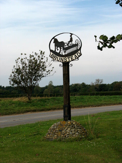
Brumstead
Brumstead (or Brunstead) is a village and a civil parish in the English county of Norfolk. The village is 15.3 miles (24.6 km) north-east of Norwich,...
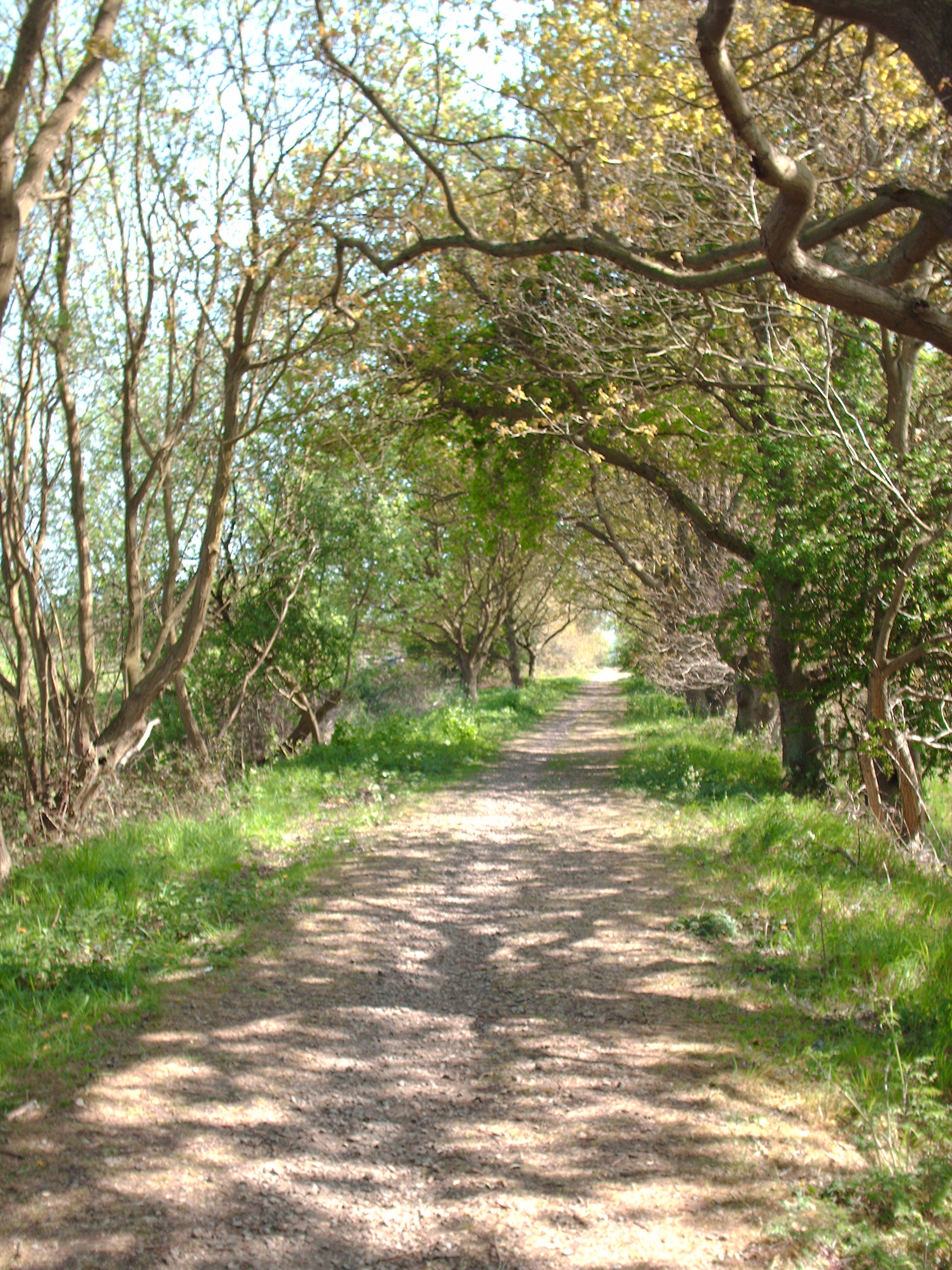
Weavers' Way
The Weavers' Way is a 61-mile (98 km) long-distance footpath in Norfolk, England. Much of the Weavers’ Way footpath follows the old trackbed of the Aylsham...

Stalham High School
Stalham High School is a mixed secondary school located in Stalham in the English county of Norfolk. == Description == It is one of the smallest high schools...

Ingham, Norfolk
Ingham is a small village and civil parish in the English county of Norfolk. It lies close to the village of Stalham, and is about 2 miles (3.2 km) from...

Holy Trinity Church, Ingham
Holy Trinity Church in Ingham, Norfolk, England has been designated as a Grade I listed building by Historic England. The tower dates from the 15th century...
Stalham railway station
Stalham railway station was a station in North Norfolk serving the settlement of Stalham. It was on the line between Melton Constable and Great Yarmouth...
Lessingham
Lessingham is a village and a civil parish in the English county of Norfolk. The village is 16.3 south-east of Cromer, 17.6 miles north-east of Norwich...
St Mary's Church, East Ruston
St Mary's Church is a redundant Anglican church in the village of East Ruston, Norfolk, England. It is recorded in the National Heritage List for England...
Have you been to Boyten's Plantation?
Leave your review of Boyten's Plantation below (or comments, questions and feedback).