Abbey Wood

Wood, Forest in Suffolk East Suffolk

England

Abbey Wood

Peasenhall
Peasenhall Credit: P Gaskell

Abbey Wood is a small village located in the county of Suffolk, England. Situated in the eastern part of the county, Abbey Wood is known for its picturesque landscape and abundant forested areas. The village is surrounded by woodlands, making it an ideal destination for nature enthusiasts and hikers.

The name "Abbey Wood" is derived from the presence of an ancient abbey that once stood in the area. Although the abbey itself no longer exists, remnants of its foundation can still be found, creating a sense of history and charm in the village.

The village is home to a close-knit community, with a population of approximately 500 residents. It boasts a range of amenities, including a local pub, a primary school, and a church, providing a sense of community and convenience for its residents.

The forested areas surrounding Abbey Wood offer a wealth of outdoor activities. Visitors can enjoy walking trails that wind through the woodlands, providing opportunities to explore the local flora and fauna. The forest is also home to a variety of wildlife, including deer, rabbits, and a wide array of bird species, making it a popular spot for birdwatching.

Abbey Wood's location in Suffolk also means that it is within easy reach of other attractions in the county. The nearby town of Ipswich offers shopping and cultural experiences, while the Suffolk coast and its charming seaside towns are just a short drive away.

Overall, Abbey Wood, Suffolk, is a charming village known for its beautiful woodlands, sense of community, and access to outdoor activities, making it an appealing destination for both residents and visitors alike.

If you have any feedback on the listing, please let us know in the comments section below.
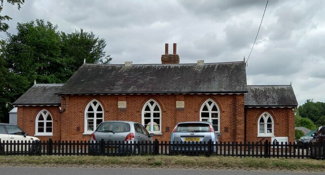
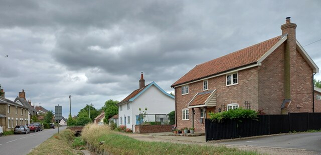
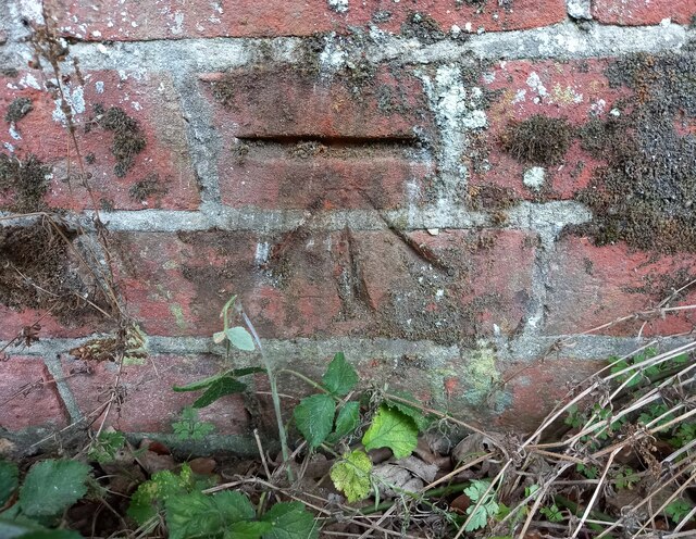
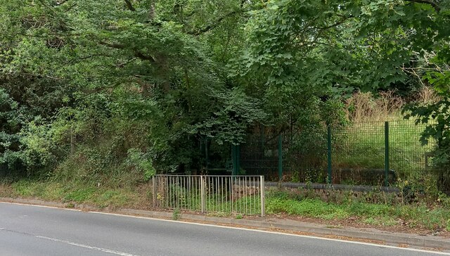
Abbey Wood Images

Images are sourced within 2km of 52.277391/1.4665716 or Grid Reference TM3670. Thanks to Geograph Open Source API. All images are credited.

Peasenhall
Peasenhall
Peasenhall bridge over River Yox According to the OS benchmark database there is a benchmark cut into the eastern parapet and over the centre of the stream. Nothing was found; the bridge is a relatively new build and the mark may have been destroyed.
Peasenhall bridge over River Yox
According to the OS benchmark database there is a benchmark cut into the eastern parapet and over the centre of the stream. Nothing was found; the bridge is a relatively new build and the mark may have been destroyed.
Sibton Nursery School According to the OS benchmark database there is a benchmark cut into the east facing wall of the school. There was lots of children activity at the school and therefore I didn't make a search. It is unknown if the mark survives.
Sibton Nursery School
According to the OS benchmark database there is a benchmark cut into the east facing wall of the school. There was lots of children activity at the school and therefore I didn't make a search. It is unknown if the mark survives.
Peasenhall, Pine View According to the OS benchmark database the rendered cottage painted white has a benchmark cut into the front of the property. The render has hidden any cutmark on the building.
Peasenhall, Pine View
According to the OS benchmark database the rendered cottage painted white has a benchmark cut into the front of the property. The render has hidden any cutmark on the building.
Peasenhall, St Michael's church The benchmark is cut into a buttress on the north-east face of the church.
Peasenhall, St Michael's church
The benchmark is cut into a buttress on the north-east face of the church.
Peasenhall, St Michael's church There is a benchmark cut into a buttress on the north-east face of the church.
Peasenhall, St Michael's church
There is a benchmark cut into a buttress on the north-east face of the church.
Peasenhall, old entrance to school The benchmark is cut into the brick wall on the right of the old school entrance. A safer entrance has been created to the left.
Peasenhall, old entrance to school
The benchmark is cut into the brick wall on the right of the old school entrance. A safer entrance has been created to the left.
Peasenhall, old school entrance There is a benchmark cut into the brick wall on the right of the old school entrance. A safer entrance has been created to the left.
Peasenhall, old school entrance
There is a benchmark cut into the brick wall on the right of the old school entrance. A safer entrance has been created to the left.
Peasenhall, 11 Oak View The benchmark is cut into the north-east face of the house.
Peasenhall, 11 Oak View
The benchmark is cut into the north-east face of the house.
Peasenhall, 11 Oak View There is a benchmark cut into the north-east face of the house.
Peasenhall, 11 Oak View
There is a benchmark cut into the north-east face of the house.
Peasenhall, electricity sub station The rivet benchmark is cut into the low roadside wall at the left of the entrance to the sub station.
Peasenhall, electricity sub station
The rivet benchmark is cut into the low roadside wall at the left of the entrance to the sub station.
Peasenhall, electricity sub station There is a rivet benchmark cut into the low roadside wall to the left of the entrance to the sub station.
Peasenhall, electricity sub station
There is a rivet benchmark cut into the low roadside wall to the left of the entrance to the sub station.
Serpentine wall at Abbotts Lodge Seen from the road the crinkle-crankle wall is very evident behind the foliage. Although the house is grade II listed, the wall is not.
Serpentine wall at Abbotts Lodge
Seen from the road the crinkle-crankle wall is very evident behind the foliage. Although the house is grade II listed, the wall is not.
Church of St. Peter, Sibton <span class="nowrap"><a title="https://historicengland.org.uk/listing/the-list/list-entry/1283976?section=official-list-entry" rel="nofollow ugc noopener" href="https://historicengland.org.uk/listing/the-list/list-entry/1283976?section=official-list-entry">Link</a><img style="margin-left:2px;" alt="External link" title="External link - shift click to open in new window" src="https://s1.geograph.org.uk/img/external.png" width="10" height="10"/></span>
Church of St. Peter, Sibton
Church of St. Michael and All Angels, Peasenhall <span class="nowrap"><a title="https://historicengland.org.uk/listing/the-list/list-entry/1183300?section=official-list-entry" rel="nofollow ugc noopener" href="https://historicengland.org.uk/listing/the-list/list-entry/1183300?section=official-list-entry">Link</a><img style="margin-left:2px;" alt="External link" title="External link - shift click to open in new window" src="https://s1.geograph.org.uk/img/external.png" width="10" height="10"/></span>
Church of St. Michael and All Angels, Peasenhall
Borehole off Hubbard's Hill <span class="nowrap"><a title="https://en.wikipedia.org/wiki/Peasenhall" rel="nofollow ugc noopener" href="https://en.wikipedia.org/wiki/Peasenhall">Link</a><img style="margin-left:2px;" alt="External link" title="External link - shift click to open in new window" src="https://s1.geograph.org.uk/img/external.png" width="10" height="10"/></span>
Borehole off Hubbard's Hill
Borehole off Hubbard's Hill (Close up)
Borehole off Hubbard's Hill
(Close up)
North Grange Farm, Sibton Off the C209 Halesworth Road
North Grange Farm, Sibton
Off the C209 Halesworth Road
Show me another place!

Abbey Wood is located at Grid Ref: TM3670 (Lat: 52.277391, Lng: 1.4665716)

Administrative County: Suffolk

District: East Suffolk

Police Authority: Suffolk

What 3 Words

///train.lamplight.skunks. Near Cookley, Suffolk

Related Wikis

Sibton Abbey

Sibton Abbey, an early Cistercian abbey located near Yoxford, Suffolk, was founded about 1150 by William de Chesney, High Sheriff of Norfolk and Suffolk...
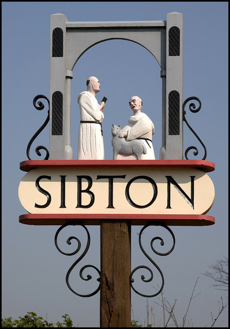
Sibton

Sibton is a village and civil parish on the A1120 road, in the East Suffolk district, in the English county of Suffolk. It is near the towns of Saxmundham...

Sibton Park

Sibton Park is a Grade II* listed country house in Sibton, Suffolk, England. It was built in 1827 by Decimus Burton and is now part of the 5,000 acre Wilderness...

Wilderness Reserve

Wilderness Reserve is a private estate of 8,000 acres (3,200 ha) in Suffolk's Yox Valley assembled by Jon Hunt since 1995 incorporating estates of Sibton...

The Ancient House, Peasenhall

The Ancient House is a grade II* listed house in Peasenhall, Suffolk, England. The house is timber-framed and is not ancient, dating from the mid-sixteenth...

Peasenhall

Peasenhall is a village and civil parish in the East Suffolk district, in the English county of Suffolk. The population of the civil parish at the 2021...

Dew's Ponds

Dew's Ponds is a 6.7-hectare (17-acre) biological Site of Special Scientific Interest (SSSI) south of Halesworth in Suffolk. It is a Special Area of Conservation...

Cockfield Hall

Cockfield Hall in Yoxford in Suffolk, England is a Grade I listed private house standing in 76 acres (31 ha) of historic parkland, partly dating from the...

Related Videos

Walking with my dog, Peasenhall, Suffolk.

Peasenhall is a delightful Suffolk village with a beautiful church and a unique village hall. On this short walk Marlin and I explore ...

Escape to Wilderness Reserve, Suffolk

Our video shows off the beautiful *Wilderness Reserve, Suffolk* with its beautiful rural landscape and breathtaking hideaways to ...

Beautiful English countryside WEDDING VLOG (Wilderness Reserve, Suffolk)

Beautiful English countryside WEDDING VLOG (Wilderness Reserve, Suffolk) This week we have an assortment of recent ...

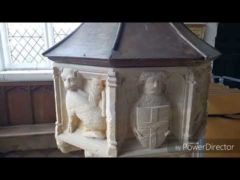
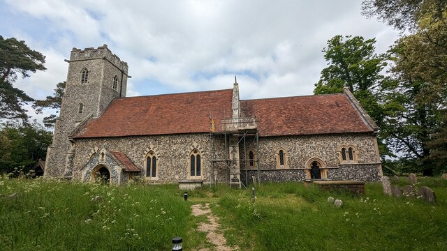
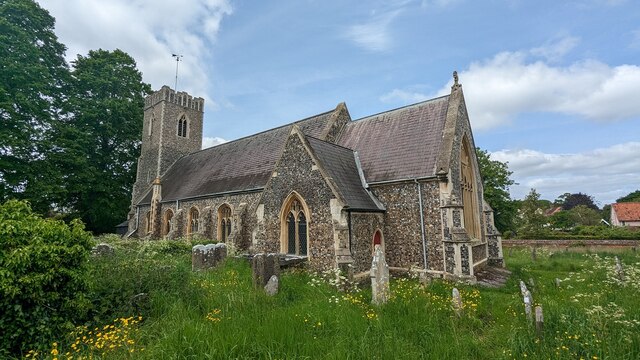
St Peter's Church, Sibton

This church is such a gem tucked away in rural Suffolk. With the ruins of a cistercian Abbey it's nearest neighbour, unfortunately ...

Nearby Amenities

Located within 500m of 52.277391,1.4665716
Bus Stop
St Peter's Church
Bus: yes
Naptan AtcoCode: 390060018
Naptan Bearing: W
Naptan BusStopType: CUS
Naptan CommonName: St Peter's Church
Naptan Indicator: adj
Naptan Landmark: St Peter's Church
Naptan NaptanCode: sufgmjat
Naptan Street: Yoxford Road
Naptan Verified: no
Public Transport: platform
Source: naptan_import
Lat/Long: 52.2731219/1.467919
Bus Stop
St Peter's Church
Bus: yes
Naptan AtcoCode: 390060019
Naptan Bearing: E
Naptan BusStopType: CUS
Naptan CommonName: St Peter's Church
Naptan Indicator: opp
Naptan Landmark: St Peter's Church
Naptan NaptanCode: sufgmjaw
Naptan Street: Yoxford Road
Naptan Verified: no
Public Transport: platform
Source: naptan_import
Lat/Long: 52.2731565/1.4679657
Power: pole
Lat/Long: 52.2800594/1.4611709
Post Box
Collection Times: Mo-Sa 10:00
Post Box Type: lamp
Ref: IP17 4630
Royal Cypher: EIIR
Royal Cypher Wikidata: Q33102113
Lat/Long: 52.2730403/1.4677048
The data included in this document is from www.openstreetmap.org. The data is made available under ODbL.

Have you been to Abbey Wood?

Leave your review of Abbey Wood below (or comments, questions and feedback).