Pam's Covert

Wood, Forest in Suffolk East Suffolk

England

Pam's Covert

Sibton Green village sign Suffolk has 400 villages and towns with village or town signs, give or take one or two. 
The tradition of village signs is believed to have started in Norfolk early in the 20th century when Edward VII suggested that village signs would aid motorists and give a feature of interest on the Sandringham Estate.
Many of the signs  were made by Harry Carter, an art and woodwork master at Hamond’s Grammar School, in Swaffham.
Many have now been replaced with fibreglass or modern plastics. The story behind the sign is given as accurately as possible.
Sibton Green village sign Credit: Bob Mitchell

Pam's Covert is a beautiful and serene woodland area located in Suffolk, England. It is situated in the heart of Suffolk's countryside, surrounded by picturesque landscapes and rolling hills. Spanning over a vast expanse of land, Pam's Covert is a paradise for nature enthusiasts, hikers, and those seeking tranquility away from the hustle and bustle of city life.

This enchanting forest is predominantly made up of various species of trees, including oak, beech, and pine. The dense foliage creates a captivating green canopy that shelters a diverse range of flora and fauna. Visitors can expect to encounter a multitude of wildlife, from squirrels and rabbits to a variety of bird species.

Pam's Covert offers a network of well-maintained walking trails that wind through the woodland, allowing visitors to explore the natural beauty at their own pace. The trails vary in difficulty, catering to both leisurely strolls and more challenging hikes. Along the way, there are numerous benches and picnic areas where visitors can rest and take in the stunning surroundings.

The forest also boasts a small lake, providing a tranquil spot for fishing or simply enjoying the peaceful atmosphere. The lake is home to various fish species, making it a popular destination for anglers.

Pam's Covert is not only a haven for nature lovers but also offers educational opportunities. The forest hosts guided walks and workshops, providing visitors with insights into the local ecosystem and conservation efforts.

Overall, Pam's Covert in Suffolk is a hidden gem, offering a peaceful retreat for those seeking solace in nature's embrace.

If you have any feedback on the listing, please let us know in the comments section below.

Pam's Covert Images

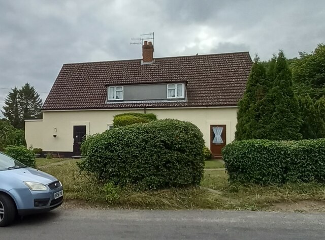
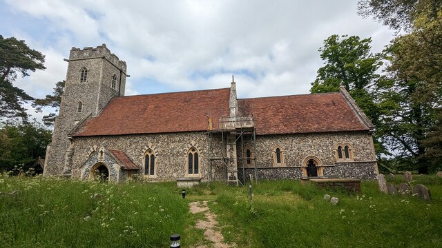
Images are sourced within 2km of 52.284059/1.4649367 or Grid Reference TM3670. Thanks to Geograph Open Source API. All images are credited.

Sibton Green village sign Suffolk has 400 villages and towns with village or town signs, give or take one or two. 
The tradition of village signs is believed to have started in Norfolk early in the 20th century when Edward VII suggested that village signs would aid motorists and give a feature of interest on the Sandringham Estate.
Many of the signs  were made by Harry Carter, an art and woodwork master at Hamond’s Grammar School, in Swaffham.
Many have now been replaced with fibreglass or modern plastics. The story behind the sign is given as accurately as possible.
Sibton Green village sign
Suffolk has 400 villages and towns with village or town signs, give or take one or two. The tradition of village signs is believed to have started in Norfolk early in the 20th century when Edward VII suggested that village signs would aid motorists and give a feature of interest on the Sandringham Estate. Many of the signs were made by Harry Carter, an art and woodwork master at Hamond’s Grammar School, in Swaffham. Many have now been replaced with fibreglass or modern plastics. The story behind the sign is given as accurately as possible.
Peasenhall
Peasenhall
Peasenhall bridge over River Yox According to the OS benchmark database there is a benchmark cut into the eastern parapet and over the centre of the stream. Nothing was found; the bridge is a relatively new build and the mark may have been destroyed.
Peasenhall bridge over River Yox
According to the OS benchmark database there is a benchmark cut into the eastern parapet and over the centre of the stream. Nothing was found; the bridge is a relatively new build and the mark may have been destroyed.
Sibton Nursery School According to the OS benchmark database there is a benchmark cut into the east facing wall of the school. There was lots of children activity at the school and therefore I didn't make a search. It is unknown if the mark survives.
Sibton Nursery School
According to the OS benchmark database there is a benchmark cut into the east facing wall of the school. There was lots of children activity at the school and therefore I didn't make a search. It is unknown if the mark survives.
Peasenhall, Pine View According to the OS benchmark database the rendered cottage painted white has a benchmark cut into the front of the property. The render has hidden any cutmark on the building.
Peasenhall, Pine View
According to the OS benchmark database the rendered cottage painted white has a benchmark cut into the front of the property. The render has hidden any cutmark on the building.
Peasenhall, St Michael's church The benchmark is cut into a buttress on the north-east face of the church.
Peasenhall, St Michael's church
The benchmark is cut into a buttress on the north-east face of the church.
Peasenhall, St Michael's church There is a benchmark cut into a buttress on the north-east face of the church.
Peasenhall, St Michael's church
There is a benchmark cut into a buttress on the north-east face of the church.
Peasenhall, 11 Oak View The benchmark is cut into the north-east face of the house.
Peasenhall, 11 Oak View
The benchmark is cut into the north-east face of the house.
Peasenhall, 11 Oak View There is a benchmark cut into the north-east face of the house.
Peasenhall, 11 Oak View
There is a benchmark cut into the north-east face of the house.
Peasenhall, electricity sub station The rivet benchmark is cut into the low roadside wall at the left of the entrance to the sub station.
Peasenhall, electricity sub station
The rivet benchmark is cut into the low roadside wall at the left of the entrance to the sub station.
Peasenhall, electricity sub station There is a rivet benchmark cut into the low roadside wall to the left of the entrance to the sub station.
Peasenhall, electricity sub station
There is a rivet benchmark cut into the low roadside wall to the left of the entrance to the sub station.
Serpentine wall at Abbotts Lodge Seen from the road the crinkle-crankle wall is very evident behind the foliage. Although the house is grade II listed, the wall is not.
Serpentine wall at Abbotts Lodge
Seen from the road the crinkle-crankle wall is very evident behind the foliage. Although the house is grade II listed, the wall is not.
Church of St. Peter, Sibton <span class="nowrap"><a title="https://historicengland.org.uk/listing/the-list/list-entry/1283976?section=official-list-entry" rel="nofollow ugc noopener" href="https://historicengland.org.uk/listing/the-list/list-entry/1283976?section=official-list-entry">Link</a><img style="margin-left:2px;" alt="External link" title="External link - shift click to open in new window" src="https://s1.geograph.org.uk/img/external.png" width="10" height="10"/></span>
Church of St. Peter, Sibton
Church of St. Michael and All Angels, Peasenhall <span class="nowrap"><a title="https://historicengland.org.uk/listing/the-list/list-entry/1183300?section=official-list-entry" rel="nofollow ugc noopener" href="https://historicengland.org.uk/listing/the-list/list-entry/1183300?section=official-list-entry">Link</a><img style="margin-left:2px;" alt="External link" title="External link - shift click to open in new window" src="https://s1.geograph.org.uk/img/external.png" width="10" height="10"/></span>
Church of St. Michael and All Angels, Peasenhall
Borehole off Hubbard's Hill <span class="nowrap"><a title="https://en.wikipedia.org/wiki/Peasenhall" rel="nofollow ugc noopener" href="https://en.wikipedia.org/wiki/Peasenhall">Link</a><img style="margin-left:2px;" alt="External link" title="External link - shift click to open in new window" src="https://s1.geograph.org.uk/img/external.png" width="10" height="10"/></span>
Borehole off Hubbard's Hill
Borehole off Hubbard's Hill (Close up)
Borehole off Hubbard's Hill
(Close up)
North Grange Farm, Sibton Off the C209 Halesworth Road
North Grange Farm, Sibton
Off the C209 Halesworth Road
North Grange Farm, Sibton Off the C209 Halesworth Road
North Grange Farm, Sibton
Off the C209 Halesworth Road
Show me another place!

Pam's Covert is located at Grid Ref: TM3670 (Lat: 52.284059, Lng: 1.4649367)

Administrative County: Suffolk

District: East Suffolk

Police Authority: Suffolk

What 3 Words

///shot.shorts.irrigate. Near Cookley, Suffolk

Related Wikis

Sibton Abbey

Sibton Abbey, an early Cistercian abbey located near Yoxford, Suffolk, was founded about 1150 by William de Chesney, High Sheriff of Norfolk and Suffolk...

Sibton Park

Sibton Park is a Grade II* listed country house in Sibton, Suffolk, England. It was built in 1827 by Decimus Burton and is now part of the 5,000 acre Wilderness...
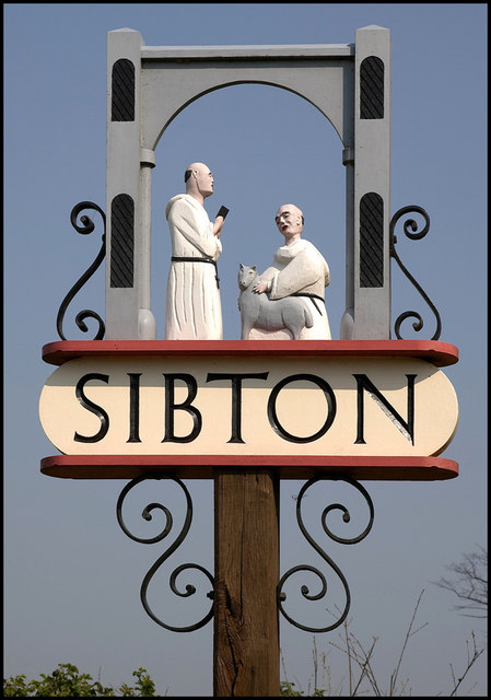
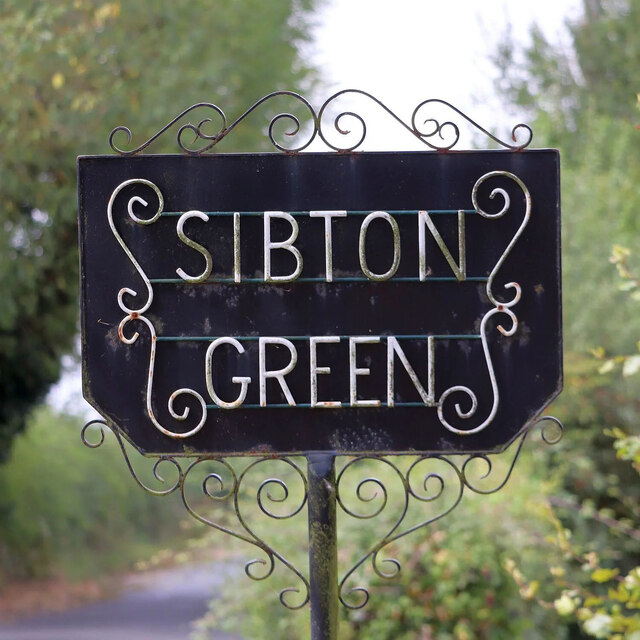
Sibton

Sibton is a village and civil parish on the A1120 road, in the East Suffolk district, in the English county of Suffolk. It is near the towns of Saxmundham...

Wilderness Reserve

Wilderness Reserve is a private estate of 8,000 acres (3,200 ha) in Suffolk's Yox Valley assembled by Jon Hunt since 1995 incorporating estates of Sibton...

Nearby Amenities

Located within 500m of 52.284059,1.4649367
Power: pole
Lat/Long: 52.2823993/1.462346
Power: pole
Lat/Long: 52.2868706/1.4641374
Power: pole
Lat/Long: 52.285978/1.4641484
Power: pole
Lat/Long: 52.2850756/1.4636519
Power: pole
Lat/Long: 52.2878009/1.4641589
Power: pole
Lat/Long: 52.2840862/1.4631584
Power: pole
Lat/Long: 52.2832017/1.4627268
Power: pole
Lat/Long: 52.2814361/1.4618659
The data included in this document is from www.openstreetmap.org. The data is made available under ODbL.

Have you been to Pam's Covert?

Leave your review of Pam's Covert below (or comments, questions and feedback).