The Spring
Wood, Forest in Suffolk East Suffolk
England
The Spring
The Spring, Suffolk, also known as Wood or Forest, is a picturesque area located in the county of Suffolk, England. Covering an expansive area of lush greenery and diverse flora and fauna, this natural haven offers a captivating experience for nature lovers and outdoor enthusiasts.
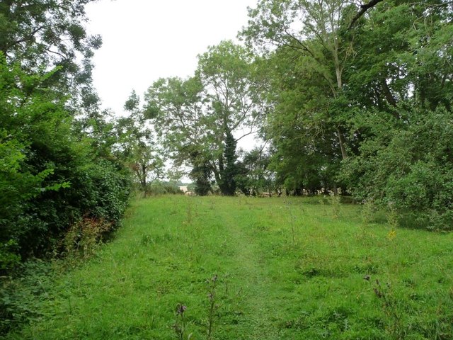
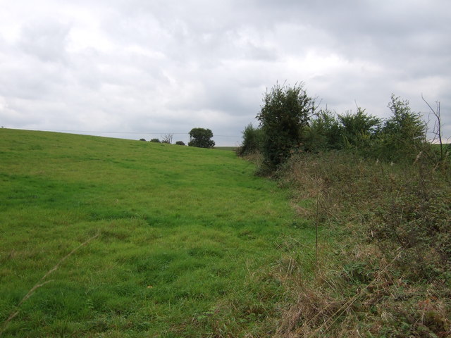
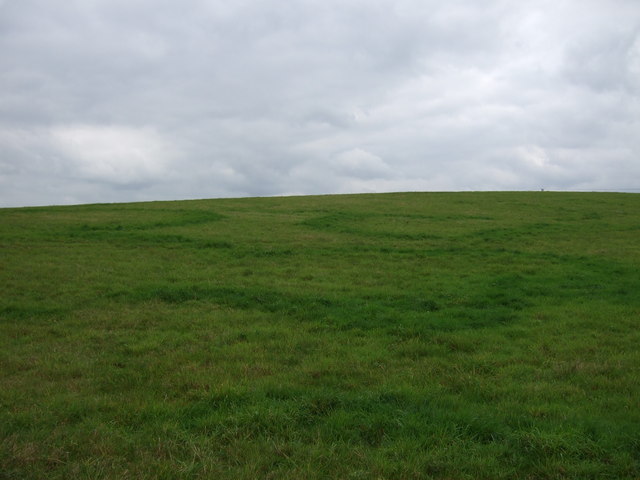
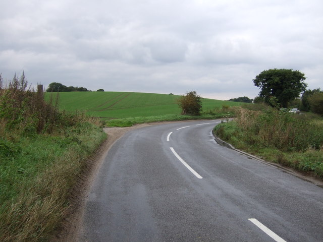
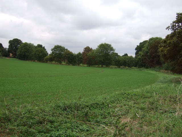
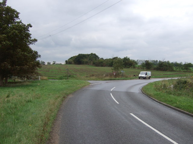
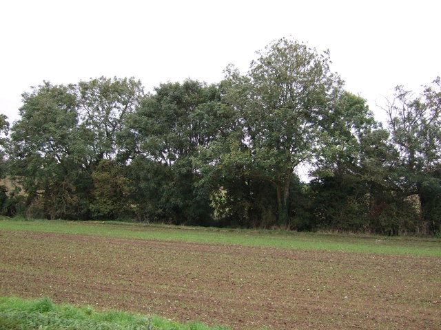
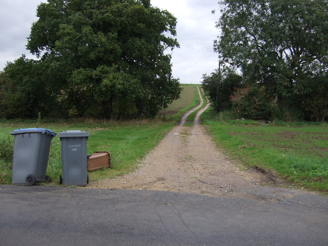
The Spring is characterized by its dense woodland, towering trees, and meandering pathways, creating a serene and tranquil atmosphere. The woodland is predominantly composed of broadleaf trees, such as oak, beech, and ash, which provide shelter and food for a wide variety of wildlife.
This area is home to a diverse range of animal species, including deer, foxes, squirrels, and numerous bird species. Visitors can witness the captivating sight of these animals in their natural habitat, making it a popular spot for wildlife enthusiasts and photographers.
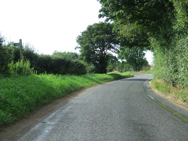
The Spring offers a multitude of recreational activities for visitors to enjoy. There are well-maintained walking trails that wind through the woodland, providing an opportunity for leisurely strolls and peaceful hikes. Additionally, there are designated picnic areas where visitors can relax and enjoy the scenic surroundings.
The Spring is also a hotspot for nature education and conservation. It hosts various educational programs and workshops to raise awareness about the importance of preserving the natural environment and its inhabitants. Visitors can learn about the local ecosystem, biodiversity, and sustainable practices.
Overall, The Spring, Suffolk (Wood, Forest) is a captivating natural landscape that offers a peaceful escape from the hustle and bustle of everyday life. With its picturesque woodland, diverse wildlife, and recreational activities, it is a must-visit destination for nature enthusiasts and those seeking a tranquil retreat.
If you have any feedback on the listing, please let us know in the comments section below.
The Spring Images
Images are sourced within 2km of 52.354886/1.4714635 or Grid Reference TM3678. Thanks to Geograph Open Source API. All images are credited.


![Churchyard, St Andrew's, Wissett [1] The older section of the graveyard, on the south side of the church.](https://s3.geograph.org.uk/geophotos/04/61/58/4615891_7852259b.jpg)

![Churchyard, St Andrew's, Wissett [2] The newer section of the graveyard, on the north side of the church.](https://s0.geograph.org.uk/geophotos/04/61/59/4615900_29eeafb3.jpg)


The Spring is located at Grid Ref: TM3678 (Lat: 52.354886, Lng: 1.4714635)
Administrative County: Suffolk
District: East Suffolk
Police Authority: Suffolk
What 3 Words
///snows.importing.huddled. Near Halesworth, Suffolk
Nearby Locations
Related Wikis
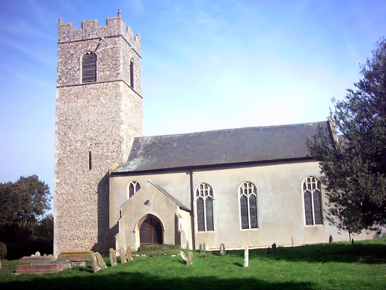
Wissett
Wissett is a village and civil parish in the English county of Suffolk. It is 2 miles (3.2 km) north-east of the market town of Halesworth in the East...
Chediston
Chediston is a village and a civil parish on the B1123 road, in the East Suffolk district, in the English county of Suffolk. It is located 2 miles west...

Spexhall
Spexhall is a village and civil parish in the north-east of the English county of Suffolk. The village, which is dispersed in nature, is around 1.5 miles...

The Cut (theatre)
The Cut Arts Centre is a theatre in the Suffolk town of Halesworth. It is a centre for arts in the community and offers music, theatre, dance, comedy,...
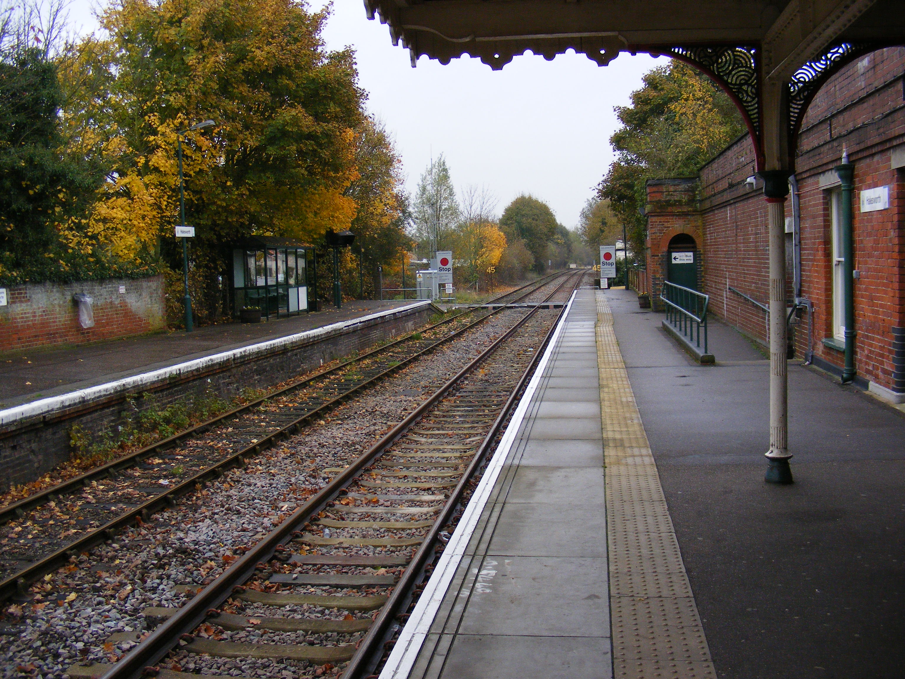
Halesworth railway station
Halesworth railway station is on the East Suffolk Line in the east of England, serving the town of Halesworth, Suffolk. It is also the nearest station...
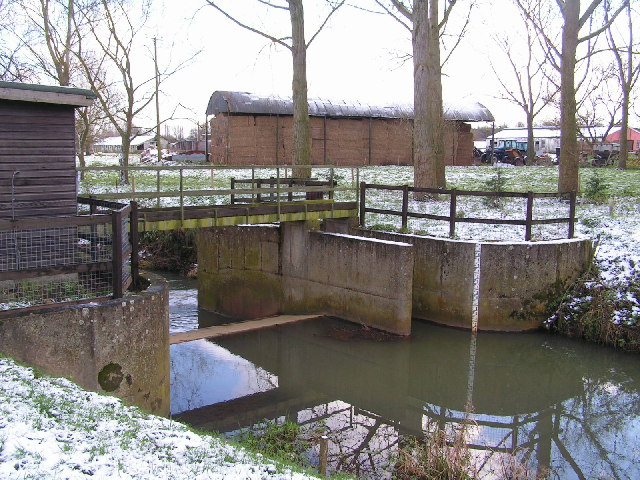
Blyth Navigation
The Blyth Navigation was a canal in Suffolk, England, running 7 miles (11 km) from Halesworth to the North Sea at Southwold. It opened in 1761, and was...
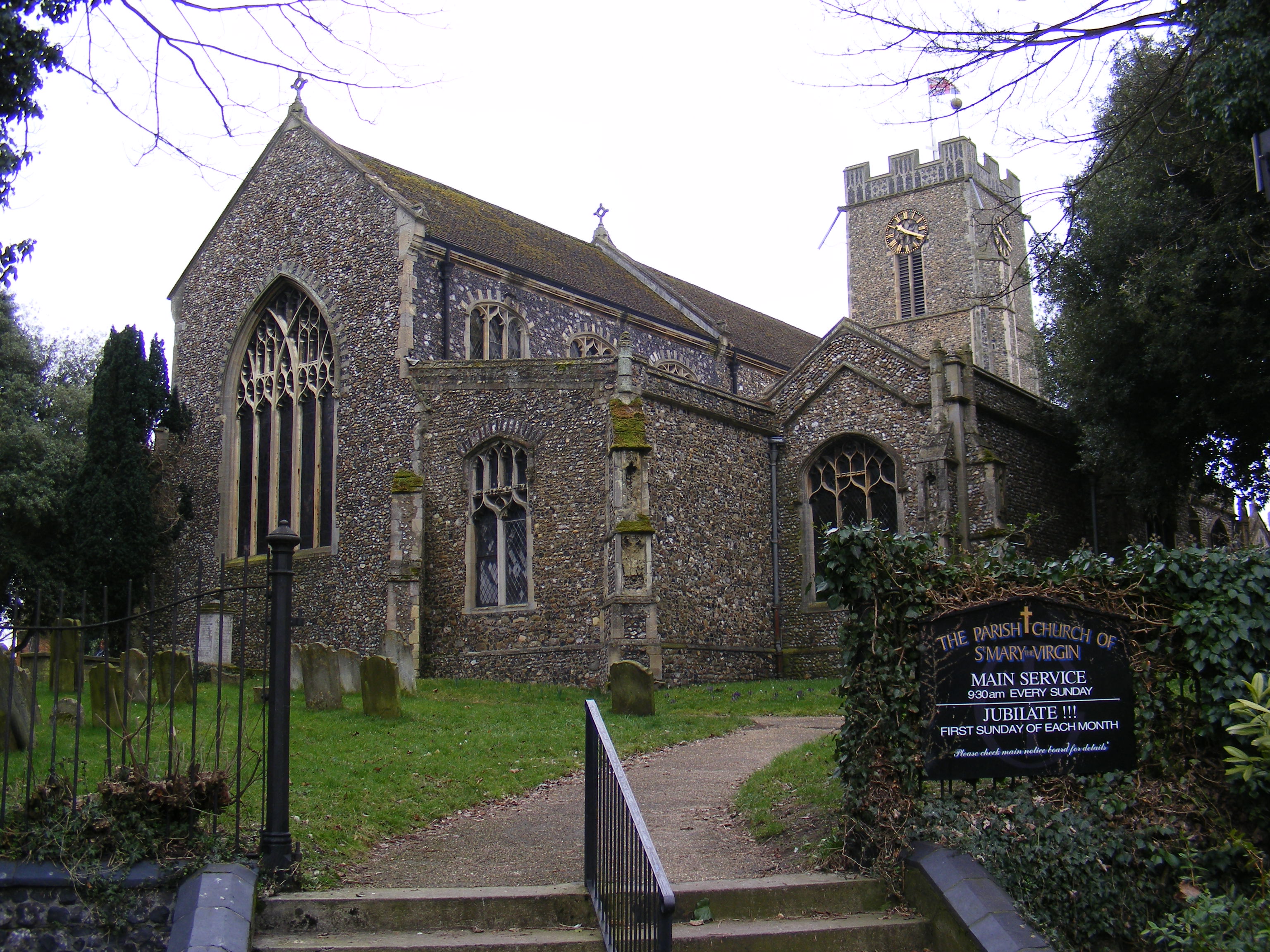
Halesworth
Halesworth is a market town, civil parish and electoral ward in north-eastern Suffolk, England. The population stood at 4,726 in the 2011 Census. It lies...

Linstead Parva
Linstead Parva is a small village and civil parish in the East Suffolk district of Suffolk in eastern England. It has a small but notable 13th-century...
Nearby Amenities
Located within 500m of 52.354886,1.4714635Have you been to The Spring?
Leave your review of The Spring below (or comments, questions and feedback).