Abbey Carr
Wood, Forest in Norfolk South Norfolk
England
Abbey Carr
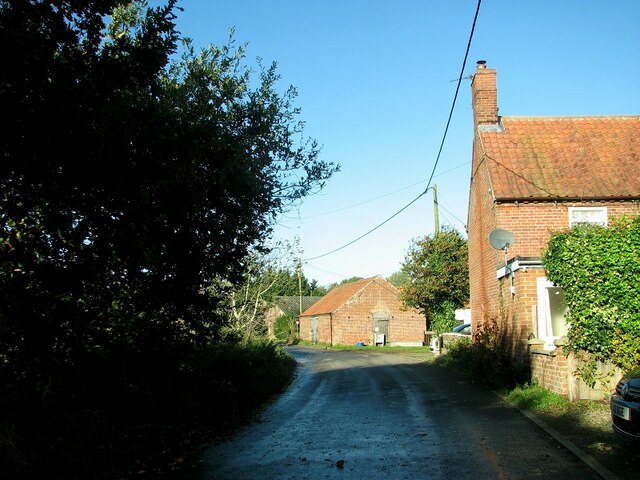
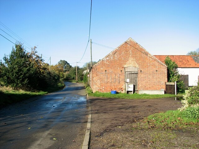
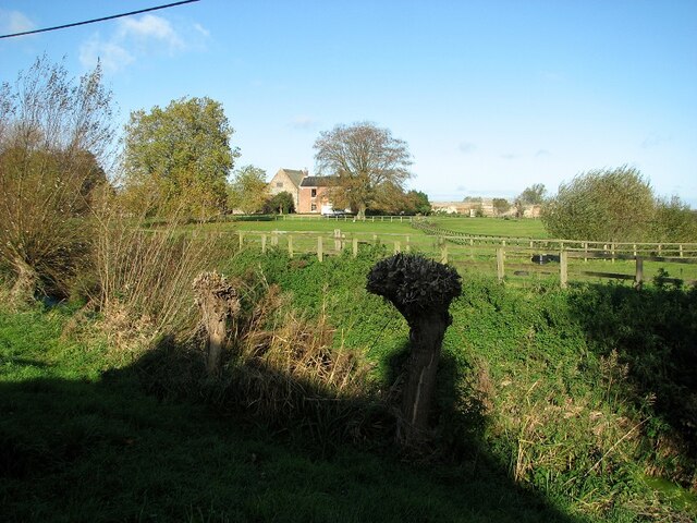
Abbey Carr, Norfolk, also known as Wood or Forest Abbey Carr, is a picturesque village located in the county of Norfolk, England. Situated in the eastern part of the country, it lies approximately 10 miles southeast of the city of Norwich. The village is nestled amidst the beautiful Norfolk countryside, surrounded by rolling green fields and dense woodlands.
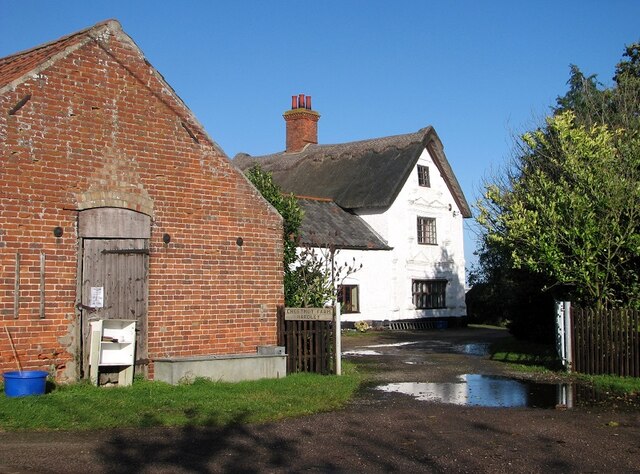
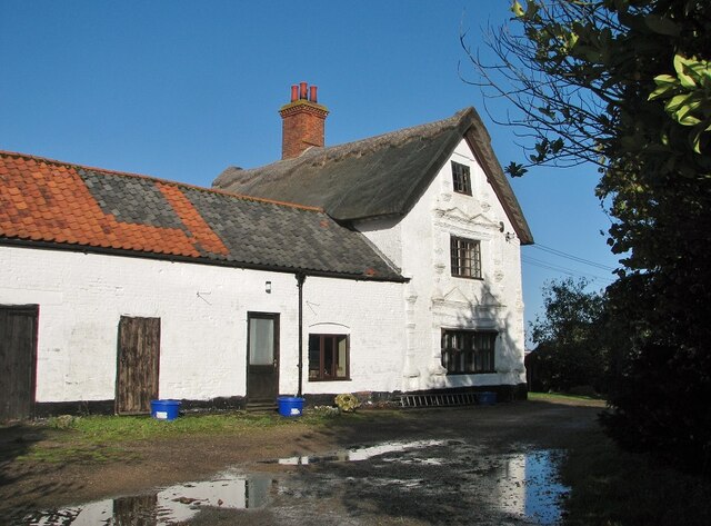
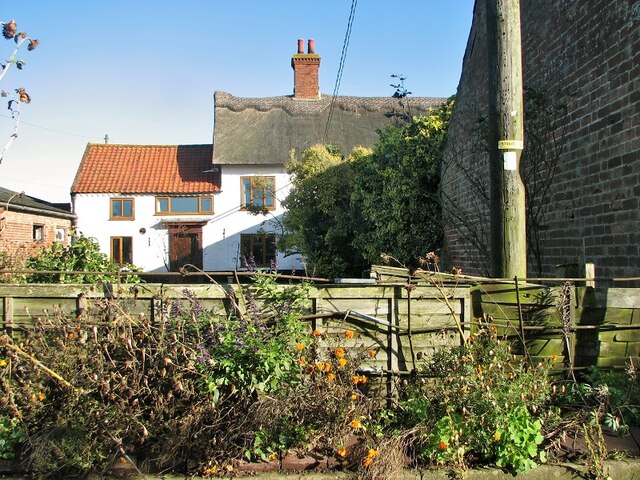
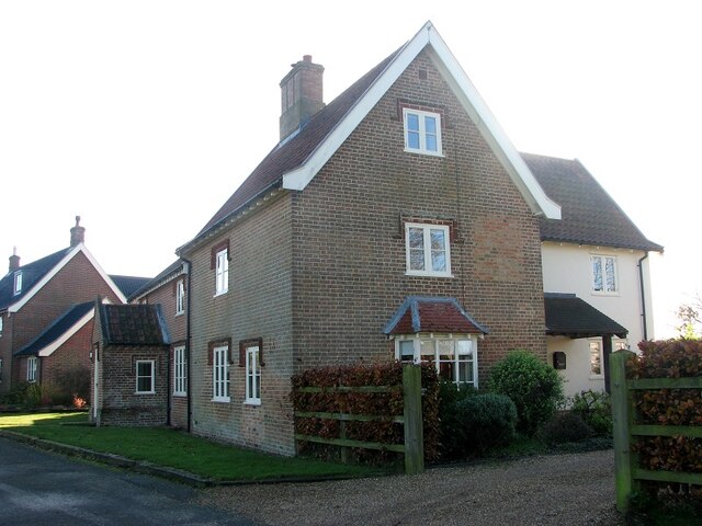
Abbey Carr is known for its natural beauty and tranquility, making it a popular destination for nature lovers and those seeking a peaceful retreat. The village is characterized by its charming thatched-roof cottages, well-maintained gardens, and a sense of community spirit.
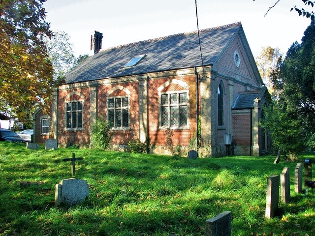
The village gets its name from the nearby Abbey, which was established in the 12th century and played a significant role in the region's history. The ruins of the Abbey still stand today, attracting visitors who are interested in exploring the area's rich heritage.
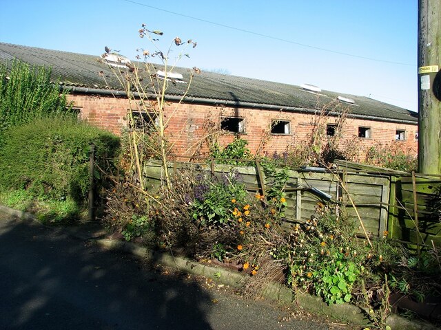
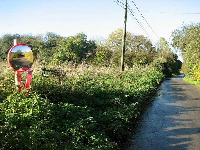
One of the main attractions in Abbey Carr is the vast forest that surrounds the village. The woodland is home to a diverse range of flora and fauna, making it a haven for wildlife enthusiasts and hikers. The forest offers numerous walking trails, allowing visitors to immerse themselves in the natural beauty of the area.
In terms of amenities, Abbey Carr boasts a village hall, a local pub, and a small convenience store, catering to the needs of its residents and visitors. The village also hosts various community events throughout the year, fostering a strong sense of community and providing opportunities for socializing.
Overall, Abbey Carr, Norfolk (Wood, Forest) offers a charming and peaceful escape from the hustle and bustle of city life, with its natural beauty, historical significance, and strong community spirit.
If you have any feedback on the listing, please let us know in the comments section below.
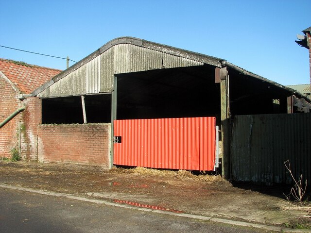
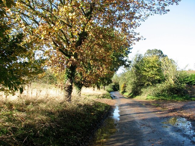
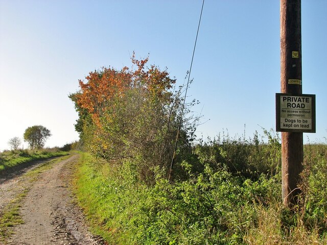
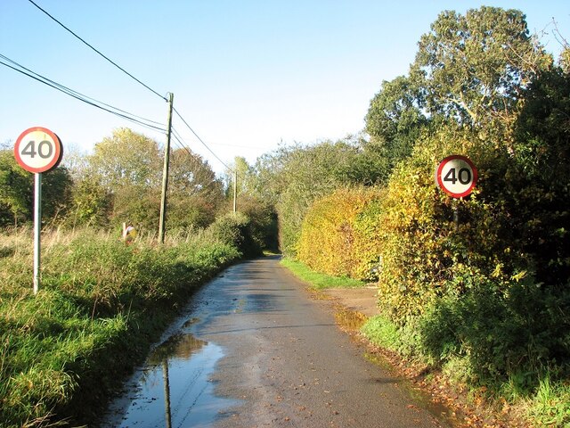
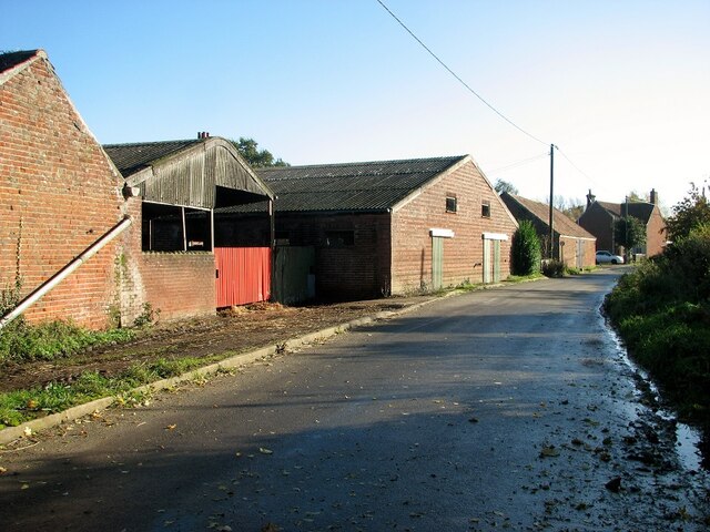
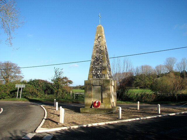
Abbey Carr Images
Images are sourced within 2km of 52.572867/1.4899418 or Grid Reference TG3602. Thanks to Geograph Open Source API. All images are credited.
Abbey Carr is located at Grid Ref: TG3602 (Lat: 52.572867, Lng: 1.4899418)
Administrative County: Norfolk
District: South Norfolk
Police Authority: Norfolk
What 3 Words
///massaging.ruins.happier. Near Loddon, Norfolk
Nearby Locations
Related Wikis

Langley Abbey
Langley Abbey was an abbey of Premonstratensian Canons in Langley Green, now in the civil parish of Langley with Hardley, Norfolk, England. The monastery...

Wherryman's Way
Wherryman's Way is a long-distance footpath in the English county of Norfolk. == Route == Wherryman's Way is 35 miles (56 km) long, running between Norwich...

Poplar Farm Meadows, Langley
Poplar Farm Meadows, Langley is a 7.5-hectare (19-acre) biological Site of Special Scientific Interest east of Loddon in Norfolk. It is part of the Broadland...

Cantley Marshes
Cantley Marshes is a 272.1-hectare (672-acre) biological Site of Special Scientific Interest south-east of Norwich in Norfolk. It is managed by the Royal...

Langley with Hardley
Langley with Hardley is a parish in the county of Norfolk, England, about a mile east of Loddon. It covers an area of 15.09 km2 (5.83 sq mi) and had a...

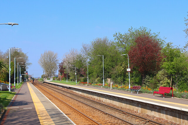
Cantley railway station
Cantley railway station is on the Wherry Lines in the East of England, serving the village of Cantley, Norfolk. It is 10 miles (16 km) down the line from...

Cantley, Norfolk
Cantley is a village and former civil parish, now in the parish of Cantley, Limpenhoe and Southwood, in the Broadland district, in the English county of...
Mid-Yare National Nature Reserve
Mid-Yare NNR is a national nature reserve in Norfolk, east of Norwich, established by English Nature and managed by the Royal Society for the Protection...
Nearby Amenities
Located within 500m of 52.572867,1.4899418Have you been to Abbey Carr?
Leave your review of Abbey Carr below (or comments, questions and feedback).