Langley Dike

Sea, Estuary, Creek in Norfolk South Norfolk

England

Langley Dike

Cantley Station Railway station at Cantley.
Cantley Station Credit: Wayland Smith

Langley Dike is a prominent water feature located in the county of Norfolk, England. It is situated within the broader Norfolk Broads, a network of navigable rivers and lakes renowned for their natural beauty and diverse wildlife. Langley Dike specifically lies within the village of Langley, near the town of Loddon.

As its name suggests, Langley Dike is a man-made waterway that serves a crucial purpose in the local area. It acts as a drainage channel, helping to control water levels and prevent flooding in the surrounding low-lying marshes and farmland. The dike is part of a wider network of ditches and dykes that crisscross the Norfolk Broads, collectively known as the Broads Authority.

The waters of Langley Dike are predominantly brackish, being influenced by both freshwater and tidal seawater. This unique mix creates a rich and diverse ecosystem, supporting a variety of plant and animal species. Visitors to the area can expect to encounter an abundance of wildlife, including waterfowl, fish, and wetland plants.

Langley Dike is also popular among outdoor enthusiasts, offering opportunities for boating, fishing, and birdwatching. The dike is easily accessible from nearby public footpaths and is a favored spot for leisurely walks and bike rides.

Overall, Langley Dike is an essential waterway that plays a vital role in the management of water levels in Norfolk. Its picturesque surroundings and diverse wildlife make it a popular destination for nature lovers and outdoor enthusiasts alike.

If you have any feedback on the listing, please let us know in the comments section below.
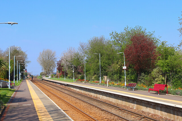
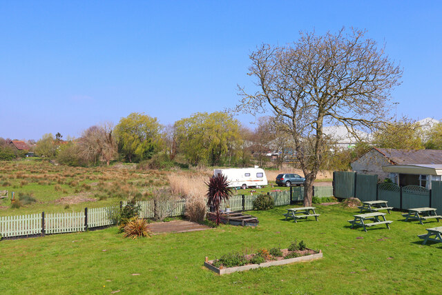
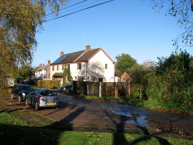
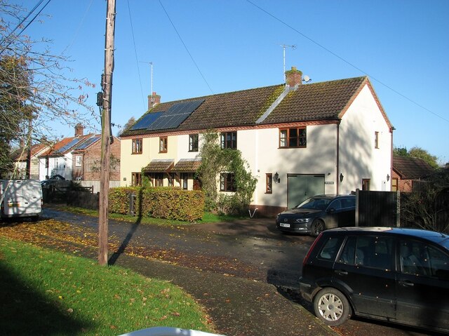
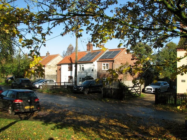
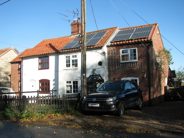
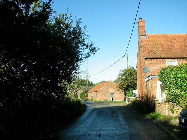
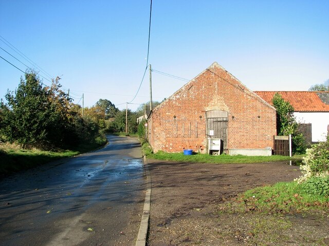
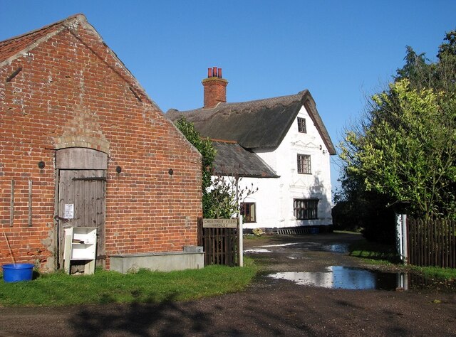
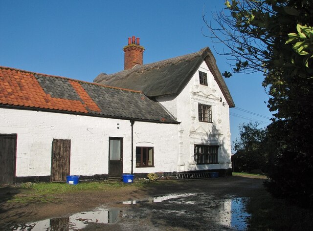
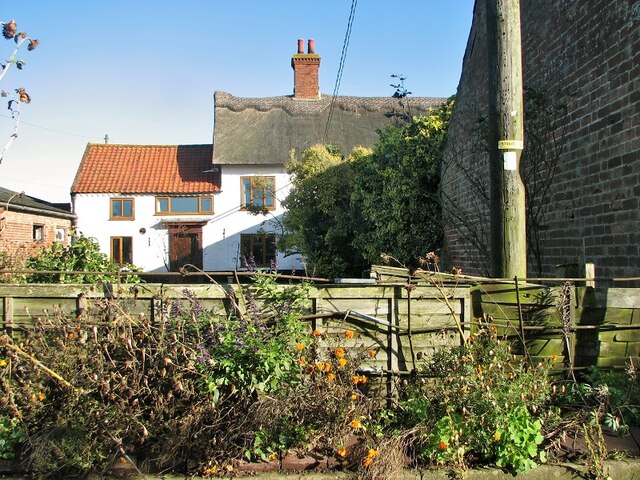
Langley Dike Images

Images are sourced within 2km of 52.571877/1.4914722 or Grid Reference TG3602. Thanks to Geograph Open Source API. All images are credited.

Cantley Station Railway station at Cantley.
Cantley Station
Railway station at Cantley.
Sugar Factory British Sugar factory at Cantley. This site can process 1.5m tonnes of sugar beet annually.
Sugar Factory
British Sugar factory at Cantley. This site can process 1.5m tonnes of sugar beet annually.
Beer Garden Reedcutter beer garden, Cantley.
Beer Garden
Reedcutter beer garden, Cantley.
Hardley Road, The Old Forge The building's name indicates that it once used to be the hamlet's forge.
Hardley Road, The Old Forge
The building's name indicates that it once used to be the hamlet's forge.
The Old Forge in Hardley Road Converted into two private dwellings.
The Old Forge in Hardley Road
Converted into two private dwellings.
Cottages in Hardley Road
35 Hardley Road
35 Hardley Road
Hardley Road past Chestnut Farm
Outbuildings by Chestnut Farm Note the honesty stall.
Outbuildings by Chestnut Farm
Note the honesty stall.
Entrance to Chestnut Farm
Chestnut Farm, the farm house This farmhouse dates from the 17th century and later.  It is of colourwashed brick and has 
 thatched and pantiled roofs, two storeys and an attic.   The windows have six lights with ovolo moulded mullions and transoms and iron casements in raised an moulded brick surround, with banded pilasters with knopped finials and twin bases.   The building is Grade II listed.
Chestnut Farm, the farm house
This farmhouse dates from the 17th century and later. It is of colourwashed brick and has thatched and pantiled roofs, two storeys and an attic. The windows have six lights with ovolo moulded mullions and transoms and iron casements in raised an moulded brick surround, with banded pilasters with knopped finials and twin bases. The building is Grade II listed.
Chestnut Farm, the farm house This, farmhouse dates from the 17th century and later.  It is of colourwashed brick and has 
 thatched and pantiled roofs, two storeys and an attic.   The windows have six lights with ovolo moulded mullions and transoms and iron casements in raised an moulded brick surround, with banded pilasters with knopped finials and twin bases.   The building is Grade II listed.  Depicted here is the north side of the building which is later than C17.
Chestnut Farm, the farm house
This, farmhouse dates from the 17th century and later. It is of colourwashed brick and has thatched and pantiled roofs, two storeys and an attic. The windows have six lights with ovolo moulded mullions and transoms and iron casements in raised an moulded brick surround, with banded pilasters with knopped finials and twin bases. The building is Grade II listed. Depicted here is the north side of the building which is later than C17.
Outbuilding at Chestnut Farm
Cattle shed on Chestnut Farm
View north-west along Hardley Road
Private Road - no access without permission The track leads into fields west of Hardley Road.
Private Road - no access without permission
The track leads into fields west of Hardley Road.
Speed restriction signs beside Hardley Road
View north along Hardley Road According to the street sign hidden under vegetation on the verge the road depicted here is Langley Street.
View north along Hardley Road
According to the street sign hidden under vegetation on the verge the road depicted here is Langley Street.
Show me another place!

Langley Dike is located at Grid Ref: TG3602 (Lat: 52.571877, Lng: 1.4914722)

Administrative County: Norfolk

District: South Norfolk

Police Authority: Norfolk

What 3 Words

///cucumber.quilting.hopes. Near Loddon, Norfolk

Nearby Locations

Langley Dike Abbey Carr

Related Wikis

Langley Abbey

Langley Abbey was an abbey of Premonstratensian Canons in Langley Green, now in the civil parish of Langley with Hardley, Norfolk, England. The monastery...

Wherryman's Way

Wherryman's Way is a long-distance footpath in the English county of Norfolk. == Route == Wherryman's Way is 35 miles (56 km) long, running between Norwich...

Poplar Farm Meadows, Langley

Poplar Farm Meadows, Langley is a 7.5-hectare (19-acre) biological Site of Special Scientific Interest east of Loddon in Norfolk. It is part of the Broadland...

Cantley Marshes

Cantley Marshes is a 272.1-hectare (672-acre) biological Site of Special Scientific Interest south-east of Norwich in Norfolk. It is managed by the Royal...

Nearby Amenities

Located within 500m of 52.571877,1.4914722
Source: Landsat photo - shifted
Lat/Long: 52.5762841/1.4920183
Source: Landsat photo - shifted
Lat/Long: 52.5752254/1.4925835
Source: Landsat photo - shifted
Lat/Long: 52.5745827/1.4932961
Source: Landsat photo - shifted
Lat/Long: 52.5738215/1.4941544
Source: Landsat photo - shifted
Lat/Long: 52.5732548/1.494737
Source: Landsat photo - shifted
Lat/Long: 52.572383/1.4955514
Source: Landsat photo - shifted
Lat/Long: 52.5719942/1.4959964
Source: Landsat photo - shifted
Lat/Long: 52.5716635/1.4964285
Historic: memorial
Inscription: ERECTED by their sorrowing comrades in arms and grateful parishoners in proud and loving memory of the brave men who went out from Langley and died fighting for their King, Country and Kin. 1914 - 1918
Memorial: war_memorial
Note: Inscribed are names and rank of twelve men.
Lat/Long: 52.5703143/1.4858538
Post Box
Lat/Long: 52.5701944/1.4861842
Barrier: kissing_gate
Foot: yes
Lat/Long: 52.5744721/1.4947222
Bus Stop
War Memorial, adj
Naptan AtcoCode: 2900L022
Naptan Bearing: NW
Naptan CommonName: War Memorial
Naptan Indicator: adj
Naptan Landmark: War Memorial
Naptan Locality: Langley Street
Naptan NaptanCode: nfodatpj
Naptan Street: Langley Street
Naptan Verified: no
Source: naptan_import
Lat/Long: 52.570218/1.4860374
War Memorial, opp
Naptan AtcoCode: 2900L024
Naptan Bearing: SE
Naptan BusStopType: CUS
Naptan CommonName: War Memorial
Naptan Indicator: opp
Naptan Landmark: War Memorial
Naptan Locality: Langley Street
Naptan NaptanCode: nfodatpt
Naptan Street: Langley Street
Naptan Verified: no
Source: naptan_import
Lat/Long: 52.5703642/1.4859604
Give Way
Lat/Long: 52.5703919/1.485803
Give Way
Lat/Long: 52.5702495/1.4857876
Give Way
Lat/Long: 52.5702829/1.4859929
Barrier: kissing_gate
Bicycle: no
Foot: yes
Lat/Long: 52.5709364/1.4896265
Bench
Backrest: no
Material: wood
Seats: 2
Lat/Long: 52.5707461/1.4887346
The data included in this document is from www.openstreetmap.org. The data is made available under ODbL.

Have you been to Langley Dike?

Leave your review of Langley Dike below (or comments, questions and feedback).