Blackstock Wood

Wood, Forest in Suffolk East Suffolk

England

Blackstock Wood

Cartshed, past the best
Cartshed, past the best Credit: Adrian S Pye

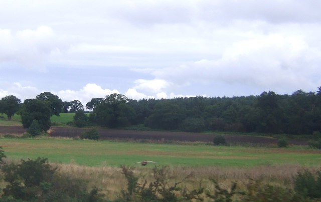
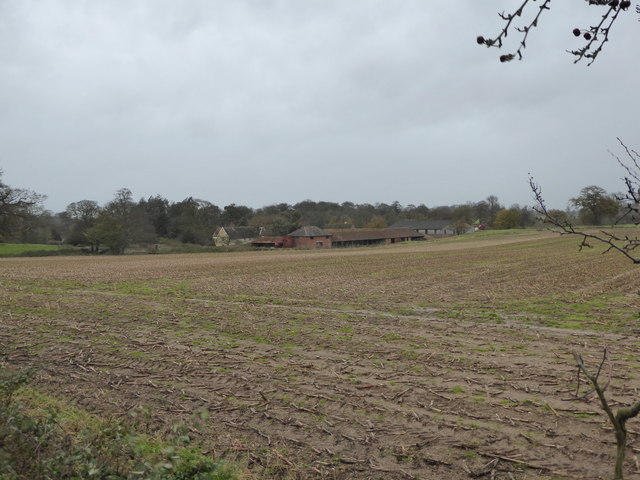
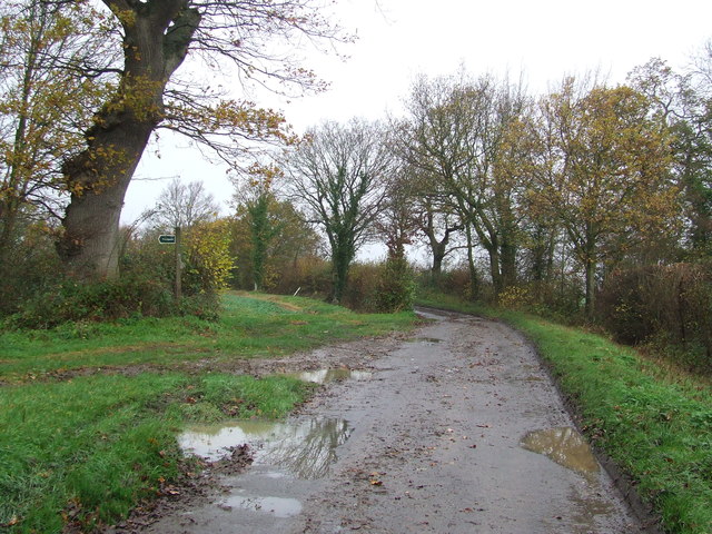
Blackstock Wood is a captivating forest located in the county of Suffolk, England. Covering an area of approximately 200 acres, this enchanting woodland is a haven for nature enthusiasts and outdoor adventurers alike. The wood is situated near the village of Blackstock and is surrounded by picturesque countryside, making it a popular destination for locals and tourists seeking tranquility and natural beauty.

Blackstock Wood boasts a diverse range of tree species, including oak, beech, ash, and birch, creating a rich and vibrant ecosystem. The forest floor is adorned with a carpet of bluebells in the spring, offering a breathtaking sight and a sweet floral fragrance that fills the air. The wood is also home to a variety of wildlife, such as deer, foxes, badgers, and a plethora of bird species, making it a perfect spot for birdwatching and wildlife observation.

In addition to its natural wonders, Blackstock Wood offers a network of well-maintained trails and footpaths, allowing visitors to explore the forest at their own pace. These paths wind through ancient woodland, secluded glades, and open meadows, providing ample opportunities for leisurely walks, picnics, and nature photography.

Blackstock Wood is cherished by the local community, who value its beauty and biodiversity. The wood is managed by a dedicated team of conservationists who work tirelessly to preserve its natural heritage and ensure its accessibility to the public. As a result, Blackstock Wood continues to captivate visitors with its serene atmosphere, breathtaking scenery, and abundant wildlife, offering a sanctuary for those seeking solace in the heart of Suffolk's countryside.

If you have any feedback on the listing, please let us know in the comments section below.

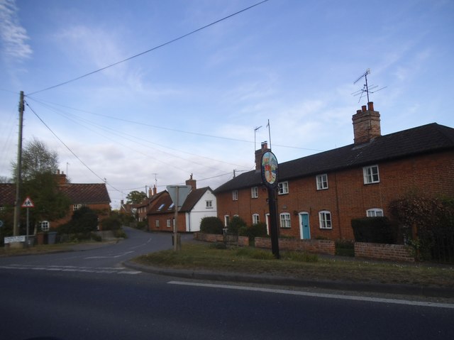
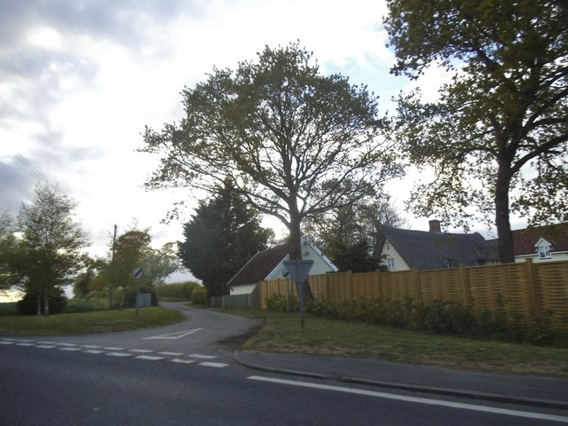
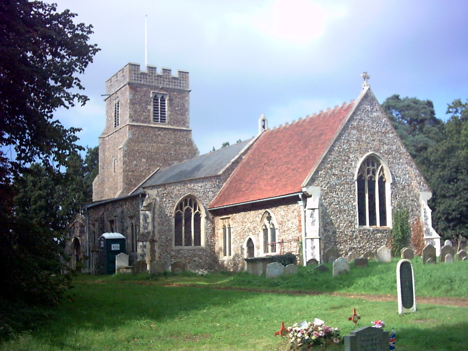
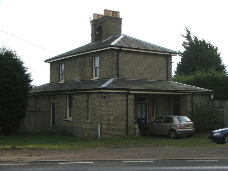
Blackstock Wood Images

Images are sourced within 2km of 52.161314/1.414011 or Grid Reference TM3356. Thanks to Geograph Open Source API. All images are credited.

Cartshed, past the best
Field Cottage Set in farmland near Jolly's Farm.
Field Cottage
Set in farmland near Jolly's Farm.
Farmland towards Allonsfield
Field, Campsea Ashe Looking towards the church.
Field, Campsea Ashe
Looking towards the church.
Farmland near Blaxhall Hall
The Blaxhall Stone A nearby information sign <a href="https://www.geograph.org.uk/photo/4297025">TM3556 : Information Sign</a> reads "Said to have been ploughed up in the 19th century when no bigger than two fists, thrown down by the ploughman where it now stands, it has been growing ever since". According to <span class="nowrap"><a title="http://www.megalithia.com/sites/tm351565.html" rel="nofollow ugc noopener" href="http://www.megalithia.com/sites/tm351565.html">Link</a><img style="margin-left:2px;" alt="External link" title="External link - shift click to open in new window" src="https://s1.geograph.org.uk/img/external.png" width="10" height="10"/></span> this glacial erratic weighs five tons and comes from a parent mass in Spilsby, Lincolnshire.
The Blaxhall Stone
A nearby information sign TM3556 : Information Sign reads "Said to have been ploughed up in the 19th century when no bigger than two fists, thrown down by the ploughman where it now stands, it has been growing ever since". According to LinkExternal link this glacial erratic weighs five tons and comes from a parent mass in Spilsby, Lincolnshire.
Blackstock Barn, Stone Farm, Blaxhall
View across the fields to Blaxhall Hall
Keepers Lane Footpath off Keepers Lane near to Little Glemham, Suffolk.
Keepers Lane
Footpath off Keepers Lane near to Little Glemham, Suffolk.
Marlesford Ford This ford is found on Ford Road in Marlesford.
Marlesford Ford
This ford is found on Ford Road in Marlesford.
Interior of St John the Baptist's Church The 14th-century nave and chancel were rebuilt in 1792 and further restored in 1869.  The chancel arch and ceiling date from the 19th-century restoration.  The communion table of 1936 was designed by the noted Suffolk ecclesiologist Henry Munro Cautley.  The east window showing Christ in majesty <a href="https://www.geograph.org.uk/photo/2012442">TM3255 : Campsea Ashe, St John the Baptist: stained glass window (3)</a> is the work of Powell & Sons in 1912 as a memorial to William and Alice Lowther.  <span class="nowrap"><a title="http://www.suffolkchurches.co.uk/campsea.html" rel="nofollow ugc noopener" href="http://www.suffolkchurches.co.uk/campsea.html">Link</a><img style="margin-left:2px;" alt="External link" title="External link - shift click to open in new window" src="https://s1.geograph.org.uk/img/external.png" width="10" height="10"/></span>
Interior of St John the Baptist's Church
The 14th-century nave and chancel were rebuilt in 1792 and further restored in 1869. The chancel arch and ceiling date from the 19th-century restoration. The communion table of 1936 was designed by the noted Suffolk ecclesiologist Henry Munro Cautley. The east window showing Christ in majesty TM3255 : Campsea Ashe, St John the Baptist: stained glass window (3) is the work of Powell & Sons in 1912 as a memorial to William and Alice Lowther. LinkExternal link
Faith and Hope - two theological virtues Pre-Raphaelite stained glass of 1882 in St John the Baptist's Church, designed by Sir Henry Holiday for Powell Brothers as a memorial to John George Sheppard.  Faith is represented by the Cross, and Hope by an anchor.  In the vine-leaf panels above, doves symbolising the Holy Spirit are seen ascending at the left and descending on the right.  For a general view of the window see <a href="https://www.geograph.org.uk/photo/2012477">TM3255 : Campsea Ashe, St John the Baptist: stained glass window (5)</a>.
Faith and Hope - two theological virtues
Pre-Raphaelite stained glass of 1882 in St John the Baptist's Church, designed by Sir Henry Holiday for Powell Brothers as a memorial to John George Sheppard. Faith is represented by the Cross, and Hope by an anchor. In the vine-leaf panels above, doves symbolising the Holy Spirit are seen ascending at the left and descending on the right. For a general view of the window see TM3255 : Campsea Ashe, St John the Baptist: stained glass window (5).
Pelican in her Piety Stained glass of 1880 in St John the Baptist's Church; detail of a memorial window to Egidia, 5th Baroness Rendlesham.  The companion left-hand panel shows the Agnus Dei.  For the whole window see <a href="https://www.geograph.org.uk/photo/2012430">TM3255 : Campsea Ashe, St John the Baptist: stained glass window (1)</a>.
Pelican in her Piety
Stained glass of 1880 in St John the Baptist's Church; detail of a memorial window to Egidia, 5th Baroness Rendlesham. The companion left-hand panel shows the Agnus Dei. For the whole window see TM3255 : Campsea Ashe, St John the Baptist: stained glass window (1).
Cut Mark Campsey Ashe Church Cut Mark Campsey Ashe St John the Baptist Church SE angle, SE face.
Cut Mark Campsey Ashe Church
Cut Mark Campsey Ashe St John the Baptist Church SE angle, SE face.
Marlesford Mill
Marlesford Mill
The old railway station at Marlesford Thanks to Adrian Pye for identifying the building. <a title="https://www.geograph.org.uk/photo/4409748" href="https://www.geograph.org.uk/photo/4409748">Link</a>
The old railway station at Marlesford
Thanks to Adrian Pye for identifying the building. Link
Little Glemham village
Keepers Lane at the junction of the A12 The house was sold towards the end of 2016 with the fence added since.
Keepers Lane at the junction of the A12
The house was sold towards the end of 2016 with the fence added since.
Show me another place!

Blackstock Wood is located at Grid Ref: TM3356 (Lat: 52.161314, Lng: 1.414011)

Administrative County: Suffolk

District: East Suffolk

Police Authority: Suffolk

What 3 Words

///fewer.shine.pencil. Near Wickham Market, Suffolk

Related Wikis

Plomesgate Rural District

Plomesgate Rural District was a rural district within the administrative county of East Suffolk between 1894 and 1934. == History == The district had...

Campsea Ashe

Campsea Ashe (sometimes spelt Campsey Ash) is a village in Suffolk, England located approximately 5 miles (8 km) north east of Woodbridge and 6 miles...

Marlesford

Marlesford is a village and civil parish in the East Suffolk district of Suffolk, England. The population of the civil parish at the 2011 Census was 233...

Marlesford railway station

Marlesford railway station was a station located in Marlesford, Suffolk. It closed in 1952.The station was served by trains that operated between Framlingham...

Little Glemham

Little Glemham is a small village on the A12 road, in the East Suffolk district, in the county of Suffolk, England. The population of the parish at the...

Wickham Market railway station

Wickham Market railway station is on the East Suffolk Line in the east of England, located in Campsea Ashe, Suffolk, approximately 2 miles (3.2 km) east...

Glemham Hall

Glemham Hall is an Elizabethan stately home, set in around 300 acres (120 ha) of park land on the outskirts of the village of Little Glemham in Suffolk...

Deben Mill

Deben Mill is a water mill on the River Deben located on the boundary between the civil parishes of Wickham Market and Hacheston, in Suffolk, England....

Nearby Amenities

Located within 500m of 52.161314,1.414011
Blackstock Crossing
Crossing Activation: user
Crossing Light: no
Motor Vehicle: destination
Railway: level_crossing
Lat/Long: 52.1596707/1.4117598
Wickham Market Junction
Historic Railway: junction
Railway: site
Lat/Long: 52.1599823/1.4124212
Power: tower
Lat/Long: 52.1585253/1.4133123
Power: tower
Lat/Long: 52.1594615/1.4180705
Power: tower
Lat/Long: 52.1589235/1.4131004
Power: tower
Lat/Long: 52.1598351/1.417695
Power: pole
Lat/Long: 52.1610502/1.4161983
Power: pole
Lat/Long: 52.1628709/1.4151401
Railway: level_crossing
Lat/Long: 52.1613594/1.4156718
Power: pole
Lat/Long: 52.1615932/1.4158737
Power: pole
Lat/Long: 52.1600843/1.4167535
Power: pole
Lat/Long: 52.159571/1.4172255
Power: pole
Lat/Long: 52.1601814/1.4168527
Power: pole
Lat/Long: 52.158615/1.4178103
Power: pole
Lat/Long: 52.1612526/1.4162063
Power: pole
Lat/Long: 52.1587812/1.4175501
Power: pole
Lat/Long: 52.161636/1.4159649
Phone
Emergency: phone
Lat/Long: 52.1596945/1.4117424
Phone
Emergency: phone
Lat/Long: 52.1596394/1.4118464
The data included in this document is from www.openstreetmap.org. The data is made available under ODbL.

Have you been to Blackstock Wood?

Leave your review of Blackstock Wood below (or comments, questions and feedback).