Pedham Grove

Wood, Forest in Norfolk Broadland

England

Pedham Grove

Hemblington village sign The sign was unveiled on the 25th September 2021. The new sign depicts the Anglo-Saxon All Saints Church and a boot, representing shoemaker Jeremiah Cutton after whom Cutton's Corner, (adjacent to the sign's location) is named. 
As well as the church, the sign illustrates the agricultural nature of the village by a tractor under the trees which themselves represent the various woodlands of the area, with geese in the foreground.
Hemblington village sign Credit: Adrian S Pye

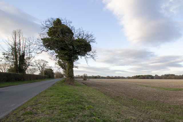
Pedham Grove, located in Norfolk, is a picturesque wood or forest area that boasts an enchanting natural beauty. Spanning approximately several acres, this woodland sanctuary offers a tranquil retreat for nature enthusiasts and those seeking solace amidst the lush greenery.

The grove is characterized by a diverse range of tree species, including oak, beech, ash, and birch, which create a rich tapestry of colors throughout the changing seasons. The dense foliage provides a haven for various wildlife, from squirrels and rabbits to an array of bird species, making it a popular spot for birdwatchers and wildlife photographers.

Visitors to Pedham Grove can meander along the well-maintained trails that wind through the woodland, offering an opportunity to immerse oneself in the peaceful ambiance while enjoying a leisurely stroll. The paths are lined with wildflowers and occasional clearings, providing enchanting vistas and perfect spots for picnics or simply soaking in the serenity of the surroundings.

For those seeking a more active experience, Pedham Grove also offers designated areas for outdoor activities such as cycling and horse riding. The well-marked trails cater to all skill levels, ensuring everyone can enjoy the beauty of the grove at their own pace.

Pedham Grove, with its natural charm and diverse ecosystem, is a true gem in Norfolk. Whether one seeks solitude in nature, a place to engage in outdoor activities, or simply a respite from the hustle and bustle of everyday life, this woodland sanctuary offers an unforgettable experience for all who venture within its verdant embrace.

If you have any feedback on the listing, please let us know in the comments section below.
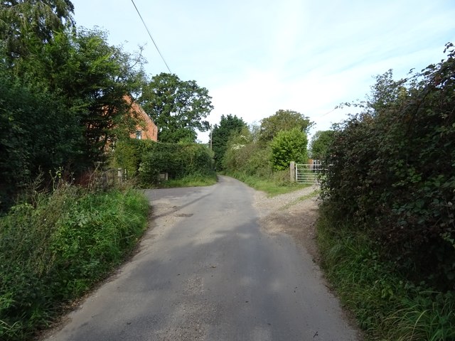
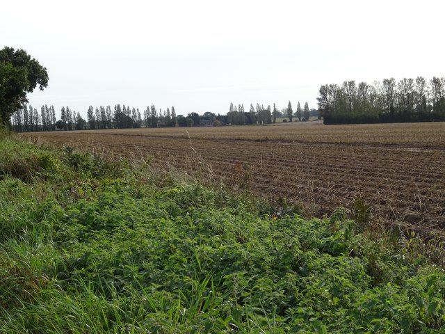
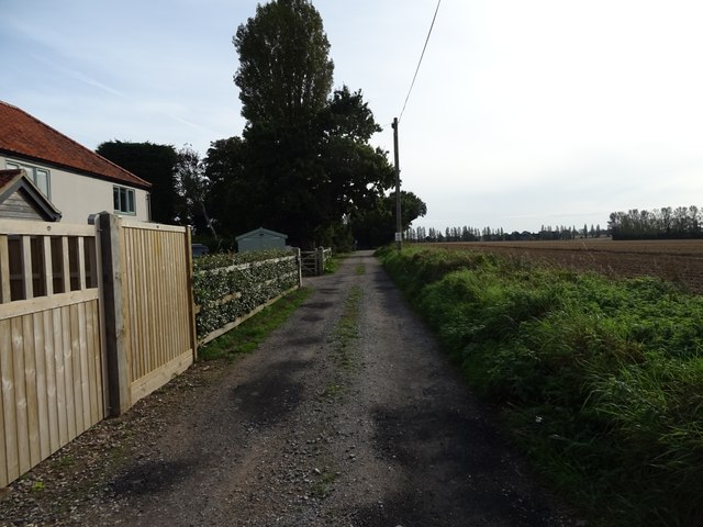
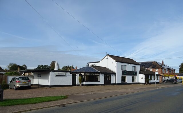
Pedham Grove Images

Images are sourced within 2km of 52.654947/1.4522154 or Grid Reference TG3311. Thanks to Geograph Open Source API. All images are credited.

Hemblington village sign The sign was unveiled on the 25th September 2021. The new sign depicts the Anglo-Saxon All Saints Church and a boot, representing shoemaker Jeremiah Cutton after whom Cutton's Corner, (adjacent to the sign's location) is named. 
As well as the church, the sign illustrates the agricultural nature of the village by a tractor under the trees which themselves represent the various woodlands of the area, with geese in the foreground.
Hemblington village sign
The sign was unveiled on the 25th September 2021. The new sign depicts the Anglo-Saxon All Saints Church and a boot, representing shoemaker Jeremiah Cutton after whom Cutton's Corner, (adjacent to the sign's location) is named. As well as the church, the sign illustrates the agricultural nature of the village by a tractor under the trees which themselves represent the various woodlands of the area, with geese in the foreground.
Hemblington village sign on Hemblington Hall Road The sign was unveiled on the 25th September 2021. The new sign depicts the Anglo-Saxon All Saints Church and a boot, representing shoemaker Jeremiah Cutton after whom Cutton's Corner, (adjacent to the sign's location) is named.
As well as the church, the sign illustrates the agricultural nature of the village by a tractor under the trees which themselves represent the various woodlands of the area, with geese in the foreground. <a title="https://www.geograph.org.uk/photo/6980330" href="https://www.geograph.org.uk/photo/6980330">Link</a>
Hemblington village sign on Hemblington Hall Road
The sign was unveiled on the 25th September 2021. The new sign depicts the Anglo-Saxon All Saints Church and a boot, representing shoemaker Jeremiah Cutton after whom Cutton's Corner, (adjacent to the sign's location) is named. As well as the church, the sign illustrates the agricultural nature of the village by a tractor under the trees which themselves represent the various woodlands of the area, with geese in the foreground. Link
Hemblington village sign The sign was unveiled on the 25th September 2021. The new sign depicts the Anglo-Saxon All Saints Church and a boot, representing shoemaker Jeremiah Cutton after whom Cutton's Corner, (adjacent to the sign's location) is named.
As well as the church, the sign illustrates the agricultural nature of the village by a tractor under the trees which themselves represent the various woodlands of the area, with geese in the foreground.
Hemblington village sign
The sign was unveiled on the 25th September 2021. The new sign depicts the Anglo-Saxon All Saints Church and a boot, representing shoemaker Jeremiah Cutton after whom Cutton's Corner, (adjacent to the sign's location) is named. As well as the church, the sign illustrates the agricultural nature of the village by a tractor under the trees which themselves represent the various woodlands of the area, with geese in the foreground.
Hall Road Hall Road approaching Holly Lane
Hall Road
Hall Road approaching Holly Lane
Woodbastwick Road Fields by Woodbastwick Road
Woodbastwick Road
Fields by Woodbastwick Road
Heath Farm Farm buildings at Heath Farm
Heath Farm
Farm buildings at Heath Farm
Scott's Corner
Scott's Corner
A47 towards Norwich
A47 towards Norwich
Plantation Road Heading north from Blofield.
Plantation Road
Heading north from Blofield.
Field entrance off Holly Lane
Holly Lane
Holly Lane
Ploughed field, Blofield Heath
Orchard Close, Blofield Heath
Indian Restaurant, Blofield Heath
Woodbastwick Road, Blofield Heath
Heathlands Social Club & Community Centre,  Blofield Heath
Heathlands Social Club & Community Centre, Blofield Heath
Stubble fields east of Woodbastwick Road
Heading north on Woodbastwick Road
Show me another place!

Pedham Grove is located at Grid Ref: TG3311 (Lat: 52.654947, Lng: 1.4522154)

Administrative County: Norfolk

District: Broadland

Police Authority: Norfolk

What 3 Words

///nuzzled.clumped.intent. Near Brundall, Norfolk

Related Wikis

Blofield Heath

Blofield Heath is a hamlet in the civil parish of Blofield, in the Broadland district, in the county of Norfolk, England. It is about 7 miles from Norwich...

South Walsham Fen

South Walsham Fen is a 1.4-hectare (3.5-acre) Local Nature Reserve west of South Walsham in Norfolk. It is owned and managed by Norfolk County Council...
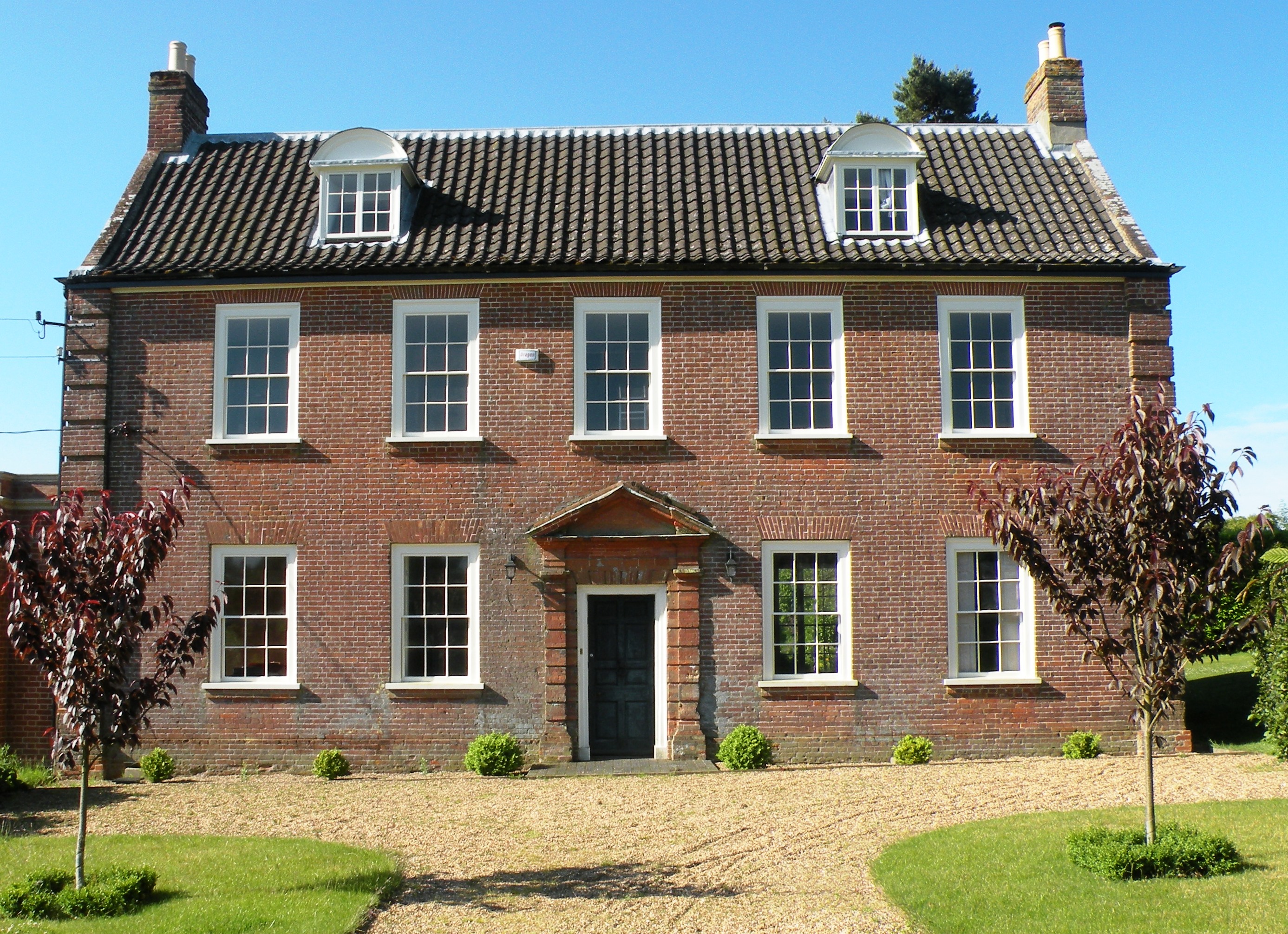
Hemblington Hall

Hemblington Hall is a large farmhouse in Norfolk county, England, built around 1700 with a Georgian facade. This grade II listed building was the home...
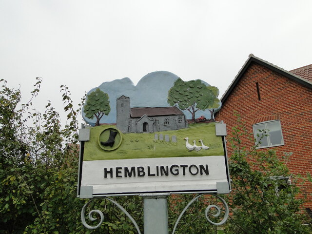
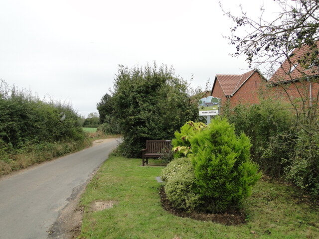
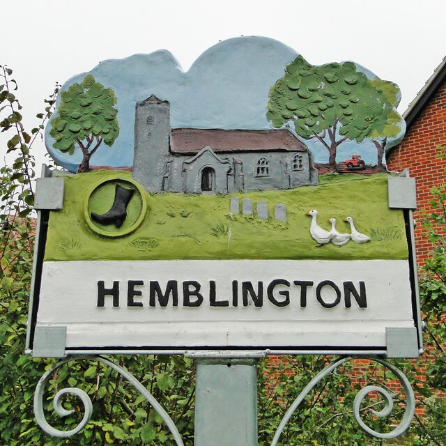
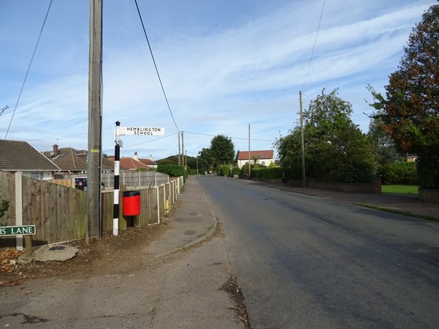
Hemblington

Hemblington is a civil parish in the English county of Norfolk, about 8 miles (13 km) east of Norwich. It covers an area of 3.03 km2 (1.17 sq mi) and had...

Norwich United F.C.

Norwich United Football Club is a football club based in Blofield, Norfolk, England. Affiliated to the Norfolk County FA, they play at Plantation Park...

Blofield

Blofield is a village and civil parish in the Broadland district of Norfolk, England. The parish includes Blofield and the hamlets of Blofield Heath and...

Great and Little Plumstead

Great and Little Plumstead is a civil parish in the English county of Norfolk consisting of the villages of Great Plumstead, Little Plumstead and Thorpe...

South Walsham

South Walsham is a village and civil parish in the English county of Norfolk. It covers an area of 11.43 km2 (4.41 sq mi) and had a population of 738 in...

Nearby Amenities

Located within 500m of 52.654947,1.4522154
Bus Stop
Harker Way, adj
Naptan AtcoCode: 2900B3414
Naptan Bearing: E
Naptan CommonName: Harker Way
Naptan Indicator: adj
Naptan Landmark: Harker Way
Naptan Locality: Blofield Heath
Naptan NaptanCode: nfoagajg
Naptan ShortCommonName: Harker Way
Naptan Street: Mill Road
Naptan Verified: no
Source: naptan_import
Lat/Long: 52.6512805/1.450872
Harker Way, opp
Naptan AtcoCode: 2900B3415
Naptan Bearing: W
Naptan BusStopType: CUS
Naptan CommonName: Harker Way
Naptan Indicator: opp
Naptan Landmark: Harker Way
Naptan Locality: Blofield Heath
Naptan NaptanCode: nfoagajm
Naptan ShortCommonName: Harker Way
Naptan Street: Mill Road
Naptan Verified: no
Source: naptan_import
Lat/Long: 52.6511947/1.4507322
Mill Field Close, opp
Naptan AtcoCode: 2900B3419
Naptan Bearing: E
Naptan BusStopType: CUS
Naptan CommonName: Mill Field Close
Naptan Indicator: opp
Naptan Landmark: opp No 52
Naptan Locality: Blofield Heath
Naptan NaptanCode: nfoagama
Naptan PlusbusZoneRef: NRCH
Naptan Street: Mill Road
Naptan Verified: no
Source: naptan_import
Lat/Long: 52.6513999/1.4477018
Bus Stop
Bonds Road, adj
Naptan AtcoCode: 2900H172
Naptan Bearing: N
Naptan CommonName: Bonds Road
Naptan Indicator: adj
Naptan Locality: Pedham
Naptan NaptanCode: nfoawdma
Naptan Street: Pedham Road
Naptan Verified: no
Source: naptan_import
Lat/Long: 52.6573541/1.4523013
Bus Stop
Bonds Road, opp
Naptan AtcoCode: 2900H174
Naptan Bearing: SW
Naptan CommonName: Bonds Road
Naptan Indicator: opp
Naptan Locality: Pedham
Naptan NaptanCode: nfoawdmg
Naptan Street: Pedham Road
Naptan Verified: no
Source: naptan_import
Lat/Long: 52.6568795/1.4519494
Pedham
Is In: Norfolk
Place: hamlet
Wikidata: Q5711232
Wikipedia: en:Hemblington
Lat/Long: 52.6571624/1.4530913
Passing Place
Lat/Long: 52.6514961/1.4547359
Hemblington Parish Council
Board Type: notice
Information: board
Tourism: information
Lat/Long: 52.6514079/1.4514296
Bench
Backrest: yes
Colour: grey
Inscription: Donated by Norwich Gospel Hall Congregation / www.plymouthbrethrenchristianchurch.org
Material: wood
Lat/Long: 52.6513638/1.4514245
Bench
Backrest: yes
Colour: gray
Inscription: Donated by Norwich Gospel Hall Trust / www.plymouthbrethrenchristianchurch.org
Material: wood
Seats: 3
Lat/Long: 52.6513667/1.4543449
Grit Bin
Lat/Long: 52.6513947/1.4514806
Waste Basket
Waste: dog_excrement
Lat/Long: 52.6514288/1.4514602
Post Box
Collection Times: Mo-Fr 16:00; Sa 07:00
Operator: Royal Mail
Post Box Type: wall
Ref: NR13 1338
Royal Cypher: GR
Royal Cypher Wikidata: Q33102273
Lat/Long: 52.6516019/1.4514602
Post Box
Collection Times: Mo-Fr 09:00; Sa 07:00
Operator: Royal Mail
Post Box Mounting: pier
Post Box Type: lamp
Ref: NR13 1339D
Royal Cypher: EIIR
Royal Cypher Wikidata: Q33102113
Lat/Long: 52.6573058/1.4522575
Defibrillator
Access: yes
Booth: K6
Covered: booth
Defibrillator Location: Inside old red telephone box.
Disused Amenity: telephone
Ele: 1.5
Emergency: defibrillator
Indoor: yes
Man Made: telephone_box
Opening Hours: 24/7
Ref GB The Circuit: F11DCCC2-604A-4C22-9ACE-AD78013E99B4
Lat/Long: 52.65731/1.4522482
Bench
Backrest: yes
Colour: brown
Material: wood
Seats: 4
Lat/Long: 52.6574392/1.4523197
Grit Bin
Lat/Long: 52.6575599/1.4524218
Bench
Backrest: yes
Colour: brown
Material: wood
Lat/Long: 52.6579024/1.4517854
Waste Basket
Waste: dog_excrement
Lat/Long: 52.6579591/1.4515425
Power: pole
Lat/Long: 52.6549341/1.4509076
Line Management: transition
Power: pole
Lat/Long: 52.6554081/1.4513501
Power: pole
Lat/Long: 52.6556861/1.4520059
Power: pole
Lat/Long: 52.6558529/1.4520474
Power: pole
Lat/Long: 52.6563222/1.4527153
Power: pole
Lat/Long: 52.6565809/1.4527529
Power: pole
Lat/Long: 52.6569844/1.4534154
Power: pole
Lat/Long: 52.6571422/1.4532866
Power: pole
Lat/Long: 52.6574513/1.4541798
Power: pole
Lat/Long: 52.6575197/1.4560359
Power: pole
Lat/Long: 52.657576/1.4578692
Power: pole
Lat/Long: 52.6576385/1.456221
Power: pole
Lat/Long: 52.657723/1.4543408
Power: pole
Transformer: distribution
Lat/Long: 52.6566235/1.446528
Power: pole
Lat/Long: 52.6570165/1.4513237
Power: pole
Lat/Long: 52.6562108/1.4503052
Power: pole
Lat/Long: 52.65595/1.44768
Power: pole
Lat/Long: 52.6552304/1.4489399
Power: pole
Lat/Long: 52.6552093/1.449082
Power: pole
Lat/Long: 52.6525734/1.4463408
Power: pole
Lat/Long: 52.6525148/1.4469175
Power: pole
Lat/Long: 52.6523488/1.4486341
Power: pole
Lat/Long: 52.6537343/1.4488447
Power: pole
Lat/Long: 52.6547915/1.4504077
Power: pole
Lat/Long: 52.6547911/1.4500181
Power: pole
Lat/Long: 52.6547846/1.4489372
Power: pole
Lat/Long: 52.6547846/1.4475585
Power: pole
Lat/Long: 52.6547814/1.4461101
Pedham Green
Alt Name: Hemblington
Man Made: village_sign
Material: metal
Lat/Long: 52.6574958/1.452384
Give Way
Direction: backward
Lat/Long: 52.6575548/1.4525341
Power: pole
Lat/Long: 52.6549508/1.4506862
Line Management: transition
Power: pole
Lat/Long: 52.6553738/1.451409
Power: pole
Lat/Long: 52.651869/1.4571315
Hemblington
Man Made: village_sign
Material: metal
Start Date: 2021-09-26
Lat/Long: 52.6513528/1.4543239
Give Way
Lat/Long: 52.651329/1.4541721
Generator Method: photovoltaic
Generator Output Electricity: yes
Generator Source: solar
Generator Type: solar_photovoltaic_panel
Location: roof
Power: generator
Lat/Long: 52.6511042/1.4484841
Generator Method: photovoltaic
Generator Output Electricity: yes
Generator Source: solar
Generator Type: solar_photovoltaic_panel
Location: roof
Power: generator
Lat/Long: 52.6510717/1.4497769
Generator Method: photovoltaic
Generator Output Electricity: yes
Generator Source: solar
Generator Type: solar_photovoltaic_panel
Location: roof
Power: generator
Lat/Long: 52.6510326/1.4509973
Generator Method: photovoltaic
Generator Output Electricity: yes
Generator Source: solar
Generator Type: solar_photovoltaic_panel
Location: roof
Power: generator
Lat/Long: 52.6514866/1.4511207
Generator Method: photovoltaic
Generator Output Electricity: yes
Generator Source: solar
Generator Type: solar_photovoltaic_panel
Location: roof
Power: generator
Lat/Long: 52.6510635/1.4538163
Generator Method: photovoltaic
Generator Output Electricity: yes
Generator Source: solar
Generator Type: solar_photovoltaic_panel
Location: roof
Power: generator
Lat/Long: 52.6509871/1.4542615
Generator Method: photovoltaic
Generator Output Electricity: yes
Generator Source: solar
Generator Type: solar_photovoltaic_panel
Location: roof
Power: generator
Lat/Long: 52.6582812/1.4532262
The data included in this document is from www.openstreetmap.org. The data is made available under ODbL.

Have you been to Pedham Grove?

Leave your review of Pedham Grove below (or comments, questions and feedback).