Pokey Hole
Wood, Forest in Suffolk East Suffolk
England
Pokey Hole

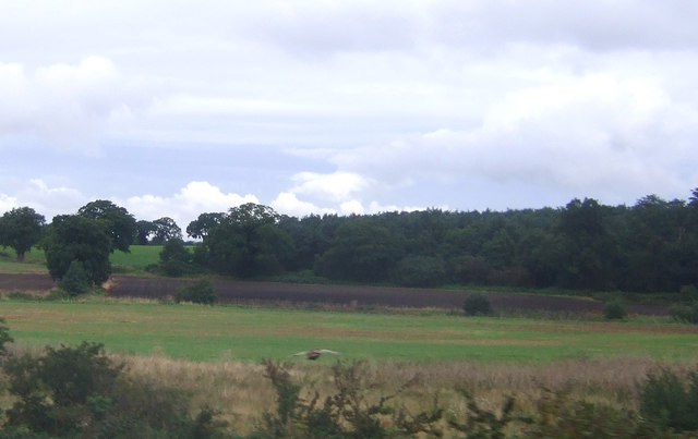
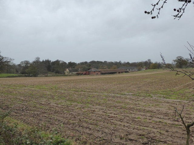
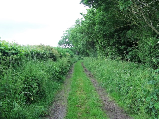
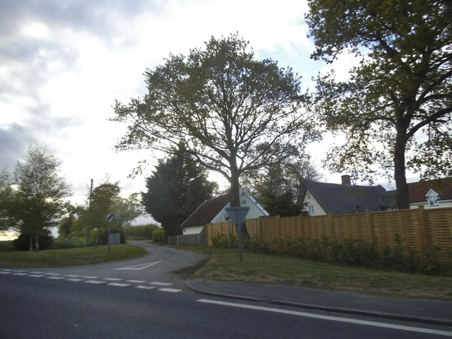
Pokey Hole is a charming woodland located in Suffolk, England. Nestled within the rolling countryside, this forested area offers a serene and picturesque environment for visitors to explore. Covering an expansive area, Pokey Hole is renowned for its dense and lush vegetation, making it a haven for nature enthusiasts and hikers alike.
The woodland boasts an impressive variety of tree species, including oak, beech, and birch, which create a beautiful canopy overhead. The forest floor is carpeted with an array of wildflowers, adding bursts of vibrant colors to the landscape throughout the seasons.
Pokey Hole is home to an abundant wildlife population, with sightings of deer, foxes, and rabbits being common occurrences. Birdwatchers will also delight in the diverse avian species that inhabit the area, such as woodpeckers, robins, and owls.
Visitors can explore the forest via a network of well-maintained trails and footpaths, some of which lead to hidden gems within Pokey Hole, such as serene ponds and babbling brooks. These natural features provide ample opportunities for peaceful picnics or moments of solitude amidst the tranquil surroundings.
Pokey Hole is a popular destination for outdoor activities, attracting both locals and tourists. It offers an escape from the hustle and bustle of city life, allowing visitors to immerse themselves in the beauty of nature. Whether it's a leisurely stroll, a vigorous hike, or a peaceful retreat, Pokey Hole offers something for everyone seeking solace in the idyllic Suffolk countryside.
If you have any feedback on the listing, please let us know in the comments section below.
Pokey Hole Images
Images are sourced within 2km of 52.155968/1.4138209 or Grid Reference TM3356. Thanks to Geograph Open Source API. All images are credited.


Pokey Hole is located at Grid Ref: TM3356 (Lat: 52.155968, Lng: 1.4138209)
Administrative County: Suffolk
District: East Suffolk
Police Authority: Suffolk
What 3 Words
///picture.pitch.tomato. Near Rendlesham, Suffolk
Nearby Locations
Related Wikis

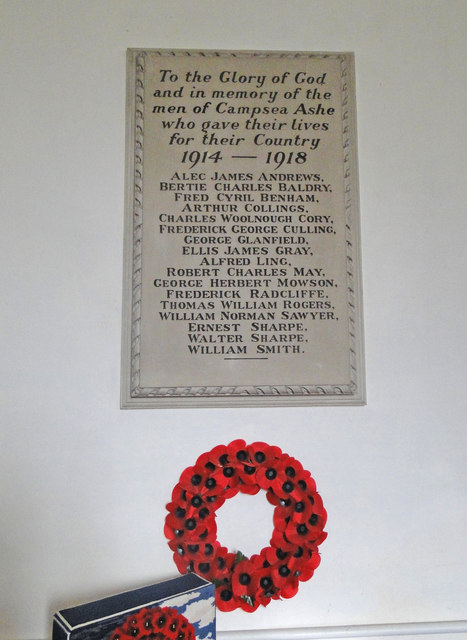
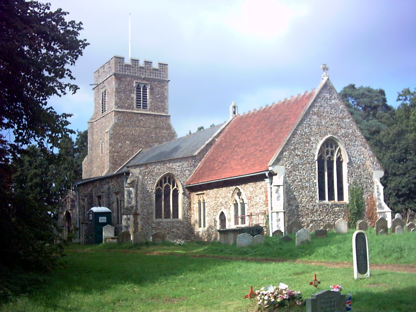
Campsea Ashe
Campsea Ashe (sometimes spelt Campsey Ash) is a village in Suffolk, England located approximately 5 miles (8 km) north east of Woodbridge and 6 miles...

Wickham Market railway station
Wickham Market railway station is on the East Suffolk Line in the east of England, located in Campsea Ashe, Suffolk, approximately 2 miles (3.2 km) east...
Marlesford
Marlesford is a village and civil parish in the East Suffolk district of Suffolk, England. The population of the civil parish at the 2011 Census was 233...

Plomesgate Rural District
Plomesgate Rural District was a rural district within the administrative county of East Suffolk between 1894 and 1934. == History == The district had...
Marlesford railway station
Marlesford railway station was a station located in Marlesford, Suffolk. It closed in 1952.The station was served by trains that operated between Framlingham...

Little Glemham
Little Glemham is a small village on the A12 road, in the East Suffolk district, in the county of Suffolk, England. The population of the parish at the...

Rendlesham Hall
Rendlesham Hall was a large manor house in the village of Rendlesham in Suffolk. == History == The hall was built in the pointed style in 1780 and two...

Campsey Priory
Campsey Priory, (Campesse, Kampessie, etc.), was a religious house of Augustinian canonesses at Campsea Ashe, Suffolk, about 1.5 miles (2.5 km) south east...
Nearby Amenities
Located within 500m of 52.155968,1.4138209Have you been to Pokey Hole?
Leave your review of Pokey Hole below (or comments, questions and feedback).