Alder Covert
Wood, Forest in Suffolk East Suffolk
England
Alder Covert
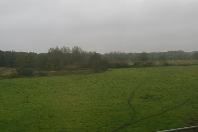
Alder Covert, Suffolk is a small woodland area located in the eastern region of England. It is situated in the county of Suffolk, known for its picturesque landscapes and rich natural beauty. Alder Covert, as the name suggests, is predominantly composed of alder trees, which give the area its distinct character.
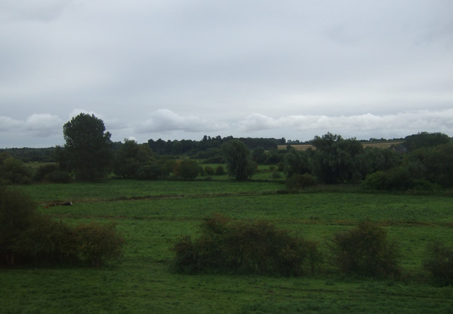
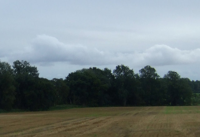
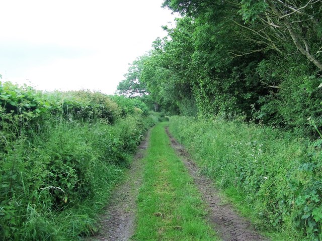
Covering an approximate area of 50 hectares, Alder Covert is a haven for nature enthusiasts and wildlife lovers. The woodland is known for its diverse ecosystem, supporting a wide range of flora and fauna. The alder trees, with their characteristic broad leaves and conical shape, provide a dense canopy, creating a shaded and cool environment underneath. This makes it an ideal habitat for various species of birds, mammals, and insects.
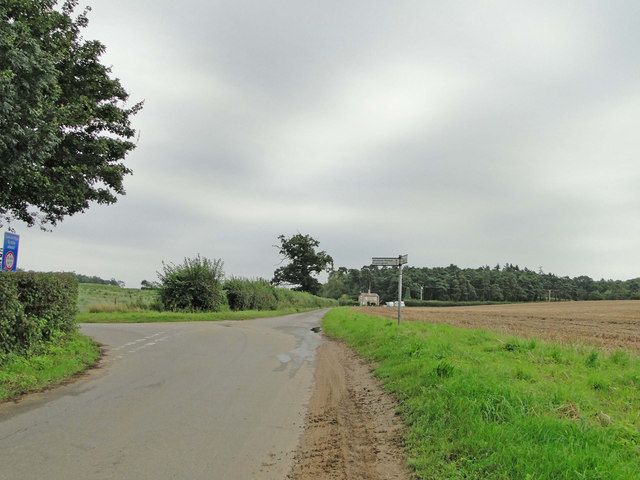
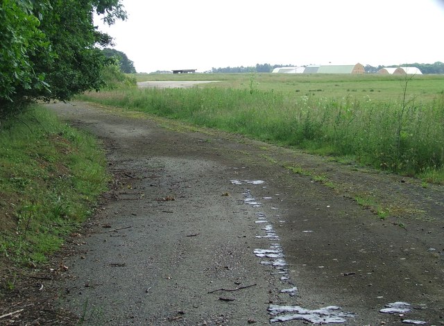
The woodland is crisscrossed by a network of footpaths, allowing visitors to explore and enjoy its natural wonders. These paths meander through the dense foliage, offering glimpses of the vibrant flora and occasional sightings of wildlife. The peaceful ambiance and tranquil atmosphere make Alder Covert a popular destination for walkers, joggers, and nature photographers.
Alder Covert is managed and maintained by the local authorities, ensuring the preservation of its natural heritage. The woodland is regularly monitored, and efforts are made to conserve its biodiversity and protect its fragile ecosystem. Visitors are encouraged to respect the environment and adhere to any guidelines or regulations put in place to safeguard the woodland.
In summary, Alder Covert, Suffolk is a charming woodland area characterized by its dense alder trees, diverse wildlife, and peaceful atmosphere. It offers a serene escape from the bustling urban life, providing a sanctuary for both nature and individuals seeking solace in the beauty of the natural world.
If you have any feedback on the listing, please let us know in the comments section below.
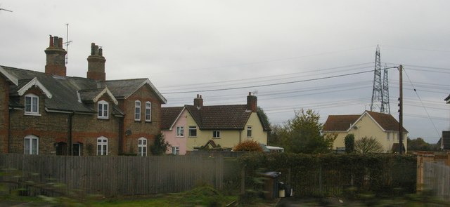
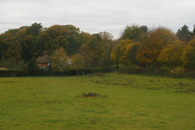
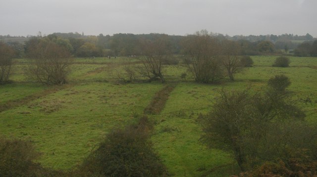
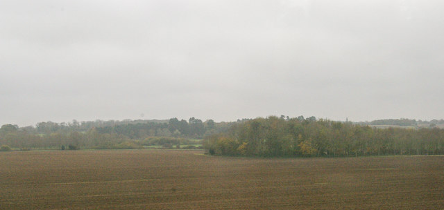
Alder Covert Images
Images are sourced within 2km of 52.134118/1.3974156 or Grid Reference TM3253. Thanks to Geograph Open Source API. All images are credited.

Alder Covert is located at Grid Ref: TM3253 (Lat: 52.134118, Lng: 1.3974156)
Administrative County: Suffolk
District: East Suffolk
Police Authority: Suffolk
What 3 Words
///drones.bulky.probe. Near Rendlesham, Suffolk
Nearby Locations
Related Wikis

Campsey Priory
Campsey Priory, (Campesse, Kampessie, etc.), was a religious house of Augustinian canonesses at Campsea Ashe, Suffolk, about 1.5 miles (2.5 km) south east...

Rendlesham Hall
Rendlesham Hall was a large manor house in the village of Rendlesham in Suffolk. == History == The hall was built in the pointed style in 1780 and two...

Rendlesham
Rendlesham is a village and civil parish near Woodbridge, Suffolk, United Kingdom. It was a royal centre of authority for the king of the East Angles....

Wickham Market railway station
Wickham Market railway station is on the East Suffolk Line in the east of England, located in Campsea Ashe, Suffolk, approximately 2 miles (3.2 km) east...

Campsea Ashe
Campsea Ashe (sometimes spelt Campsey Ash) is a village in Suffolk, England located approximately 5 miles (8 km) north east of Woodbridge and 6 miles...

RAF Bentwaters
Royal Air Force Bentwaters or more simply RAF Bentwaters, now known as Bentwaters Parks, is a former Royal Air Force station about 80 miles (130 km) northeast...
Wickham Market
Wickham Market is a large village and electoral ward in the River Deben valley, Suffolk, England, within the Suffolk Coastal heritage area. It is on the...

Wickham Market Hoard
The Wickham Market Hoard is a hoard of 840 Iron Age gold staters found in a field at Dallinghoo near Wickham Market, Suffolk, England in March 2008 by...
Related Videos

Birmingham National Trust Associan Suffolk Holiday
The holiday but viewed through the eyes of one person.

Our dogs First Holiday
Check our Percy's newest video: "Percy the Labrador tries out his new Embark Pets Reflective Harness" ...

Painting Boats ⛵ Art Vlog/ Walking at the beach 🏖️
Painting Boats ⛵ for the First Time! This is my first attempt at painting something I am notoriously bad at doing- boats… I blame ...

Deben Barn, Woodfarm Barns in Suffolk
More information - https://woodfarmbarns.com/dog-friendly-holiday-cottages-suffolk/deben-barn/ Deben Barn Cottage – dog ...
Have you been to Alder Covert?
Leave your review of Alder Covert below (or comments, questions and feedback).