School Covert

Wood, Forest in Suffolk East Suffolk

England

School Covert

Road junction to Campsea Ashe on Ash Road
Road junction to Campsea Ashe on Ash Road Credit: Adrian S Pye

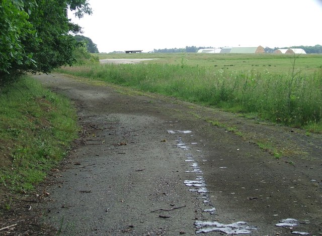
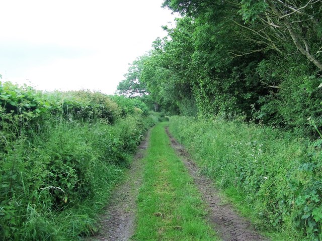
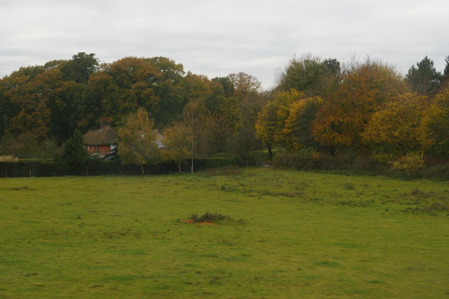
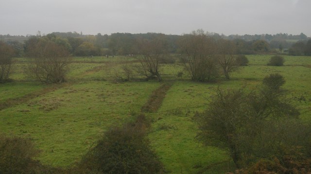
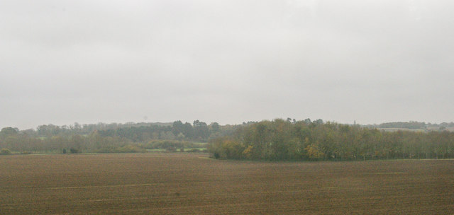
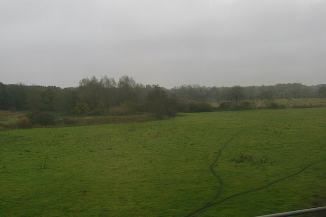
School Covert, Suffolk (Wood, Forest) is a picturesque woodland area located in Suffolk, England. Covering an approximate area of 200 acres, this natural beauty spot is a popular destination for nature lovers, hikers, and wildlife enthusiasts.

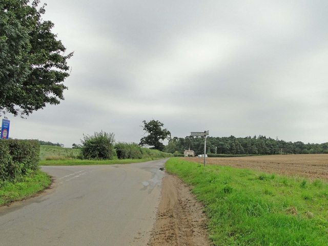
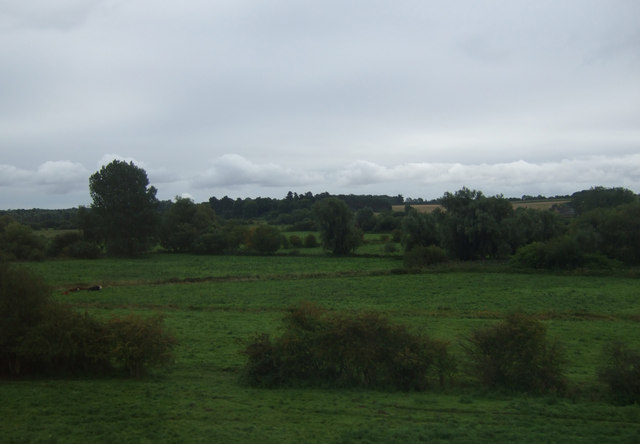
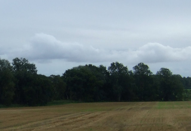
The woodland is known for its dense canopy of tall, mature trees, creating a serene and peaceful atmosphere. The dominant tree species found here include oak, beech, ash, and birch. These trees provide a habitat for a wide variety of flora and fauna that can be observed in their natural habitat.

School Covert boasts a network of well-maintained walking trails, allowing visitors to explore the beauty of the woodland at their own pace. The trails wind through the forest, offering breathtaking views of the surrounding landscape and glimpses of wildlife along the way. Birdwatchers can spot a range of avian species, including woodpeckers, owls, and various songbirds.

In addition to its natural beauty, School Covert also holds historical significance. The woodland was once part of an ancient royal hunting ground, and remnants of its past can still be seen in the form of old deer enclosures and earthworks.

Visitors to School Covert can enjoy a peaceful retreat from the hustle and bustle of modern life. Whether it's a leisurely stroll, birdwatching, or simply soaking in the tranquility of nature, School Covert offers a rejuvenating experience for all who visit.

If you have any feedback on the listing, please let us know in the comments section below.

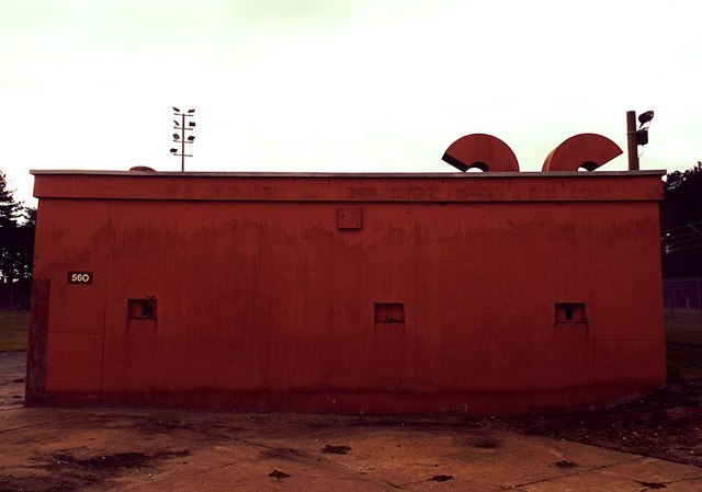
School Covert Images

Images are sourced within 2km of 52.126608/1.3998981 or Grid Reference TM3253. Thanks to Geograph Open Source API. All images are credited.

Road junction to Campsea Ashe on Ash Road
War Memorial & Roll of Honour in Rendlesham St. Gregory The Roll of Honour can be seen in greater detail here > <a title="https://www.geograph.org.uk/photo/4409370" href="https://www.geograph.org.uk/photo/4409370">Link</a>
War Memorial & Roll of Honour in Rendlesham St. Gregory
The Roll of Honour can be seen in greater detail here > Link
Grazing near Ashe Abbey
Fields near Low Farm
Stubble field and woodland near Ash Abbey
Inside St Gregory's Church The clear glass and the grey gloss paint on the pews give the interior a light airy feel.  The fantastic decorated tracery in the east window is Georgian work of 1783 and made of wood, but the communion rails are from the 17th century.
Inside St Gregory's Church
The clear glass and the grey gloss paint on the pews give the interior a light airy feel. The fantastic decorated tracery in the east window is Georgian work of 1783 and made of wood, but the communion rails are from the 17th century.
Lest we Forget A display for the centenary of the Great War in the priest's doorway at St Gregory's Church.
Lest we Forget
A display for the centenary of the Great War in the priest's doorway at St Gregory's Church.
Grinning lion One of eight (four around the stem and four on the bowl) surrounding the font in St Gregory's Church.
Grinning lion
One of eight (four around the stem and four on the bowl) surrounding the font in St Gregory's Church.
Part of the former USAF Bentwaters Looking through an old gate of USAF Bentwaters near to Rendlesham, Suffolk.
Part of the former USAF Bentwaters
Looking through an old gate of USAF Bentwaters near to Rendlesham, Suffolk.
Footpath Footpath looking east near to Campsea Ashe, Suffolk.
Footpath
Footpath looking east near to Campsea Ashe, Suffolk.
Walnut Tree Avenue Walnut Tree Avenue Rendlesham, Suffolk.
Walnut Tree Avenue
Walnut Tree Avenue Rendlesham, Suffolk.
Garden Square Looking along Garden Square Rendlesham, Suffolk.
Garden Square
Looking along Garden Square Rendlesham, Suffolk.
St.Gregory the Great, Rendlesham: late December 2016
RAF Bentwaters Building 560 Hardened Security Shelter RAF Bentwaters Building 560 Hardened Security Shelter
RAF Bentwaters Building 560 Hardened Security Shelter
Houses on Loudham Hall Road, from the railway
Deben valley water-meadows near Ufford, from the railway
Ploughed field and wood from the railway
Deben valley water-meadows from the railway
Show me another place!

School Covert is located at Grid Ref: TM3253 (Lat: 52.126608, Lng: 1.3998981)

Administrative County: Suffolk

District: East Suffolk

Police Authority: Suffolk

What 3 Words

///fastening.removers.speak. Near Rendlesham, Suffolk

Related Wikis

Rendlesham

Rendlesham is a village and civil parish near Woodbridge, Suffolk, United Kingdom. It was a royal centre of authority for the king of the East Angles....

Rendlesham Hall

Rendlesham Hall was a large manor house in the village of Rendlesham in Suffolk. == History == The hall was built in the pointed style in 1780 and two...

Campsey Priory

Campsey Priory, (Campesse, Kampessie, etc.), was a religious house of Augustinian canonesses at Campsea Ashe, Suffolk, about 1.5 miles (2.5 km) south east...

RAF Bentwaters

Royal Air Force Bentwaters or more simply RAF Bentwaters, now known as Bentwaters Parks, is a former Royal Air Force station about 80 miles (130 km) northeast...

Wickham Market railway station

Wickham Market railway station is on the East Suffolk Line in the east of England, located in Campsea Ashe, Suffolk, approximately 2 miles (3.2 km) east...

Deben Rural District

Deben Rural District was a rural district in the county of East Suffolk, England. It was created in 1934 by the merger of parts of the disbanded Bosmere...

Campsea Ashe

Campsea Ashe (sometimes spelt Campsey Ash) is a village in Suffolk, England located approximately 5 miles (8 km) north east of Woodbridge and 6 miles...

Eyke

Eyke is a village and a civil parish in the East Suffolk district, in the English county of Suffolk. It is located on the A1152 road near the town of Woodbridge...

Nearby Amenities

Located within 500m of 52.126608,1.3998981
Bus Stop
Red House
Naptan AtcoCode: 390060132
Naptan Bearing: E
Naptan CommonName: Red House
Naptan Indicator: adj
Naptan Landmark: Red House
Naptan NaptanCode: sufgmtja
Naptan Street: A1152
Naptan Verified: no
Source: naptan_import
Lat/Long: 52.1235257/1.4036301
Bus Stop
Red House
Naptan AtcoCode: 390060133
Naptan Bearing: W
Naptan BusStopType: CUS
Naptan CommonName: Red House
Naptan Indicator: opp
Naptan Landmark: Red House
Naptan NaptanCode: sufgmtjd
Naptan Street: A1152
Naptan Verified: no
Source: naptan_import
Lat/Long: 52.1237249/1.4035868
Post Box
Collection Times: Mo-Fr 16:45; Sa 09:00
Post Box Type: lamp
Ref: IP12 6209
Royal Cypher: EIIR
Royal Cypher Wikidata: Q33102113
Lat/Long: 52.1264161/1.3956113
Pub
The Tavern
Addr City: Rendlesham
Addr Housenumber: 9
Addr Postcode: IP12 2SZ
Addr Street: Rendlesham Mews
Lat/Long: 52.1239669/1.404859
The data included in this document is from www.openstreetmap.org. The data is made available under ODbL.

Have you been to School Covert?

Leave your review of School Covert below (or comments, questions and feedback).