Mary's Grove

Wood, Forest in Suffolk East Suffolk

England

Mary's Grove

Ramsholt, Suffolk A tiny hamlet of just a few houses. Compare with this shot taken 11 years previously <a href="https://www.geograph.org.uk/photo/72629">TM3141 : Ramsholt, Suffolk</a>, not much has changed. The largest building is the old school, which was in use until 1927: <a href="https://www.geograph.org.uk/photo/3018053">TM3141 : The Old School, Ramsholt</a>
Ramsholt, Suffolk Credit: Chris Holifield

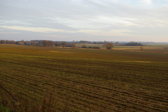
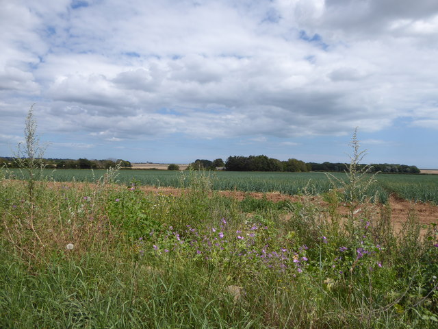
Mary's Grove is a picturesque woodland located in Suffolk, England. Situated in the heart of the county, this enchanting forest covers an area of approximately 50 acres, making it a haven for nature enthusiasts and outdoor adventurers alike. The grove is known for its dense canopy of towering trees, including oak, beech, and birch, which provide a sense of tranquility and seclusion.

As one explores Mary's Grove, they will be greeted by a diverse range of flora and fauna. The forest floor is carpeted with a myriad of wildflowers, including bluebells, primroses, and wood anemones, creating a vibrant and colorful display during the spring months. The air is filled with the sweet fragrance of the blossoms, adding to the sensory experience of the surroundings.

Wildlife thrives within the grove, offering visitors the opportunity to observe various species in their natural habitat. Squirrels playfully dart between the tree trunks, while birdsong fills the air, providing a melodious soundtrack to one's walk. If lucky, visitors may even catch a glimpse of a deer gracefully bounding through the undergrowth.

Mary's Grove is also a popular destination for outdoor activities. The well-maintained network of trails allows hikers and cyclists to explore the forest's hidden nooks and crannies, while birdwatchers can set up camp in one of the designated viewing areas. Additionally, the grove offers a peaceful setting for picnics and family outings, providing a serene escape from the bustle of everyday life.

Overall, Mary's Grove in Suffolk is a captivating woodland retreat, offering a harmonious blend of natural beauty, diverse wildlife, and recreational opportunities. Whether seeking solace in nature or embarking on an adventure, this idyllic forest provides a truly enchanting experience for all who visit.

If you have any feedback on the listing, please let us know in the comments section below.
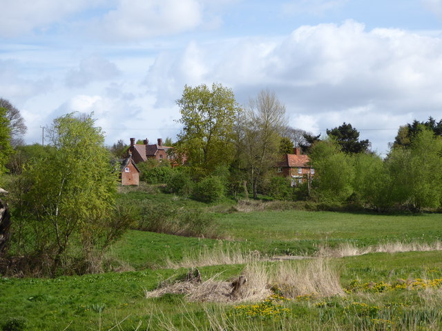
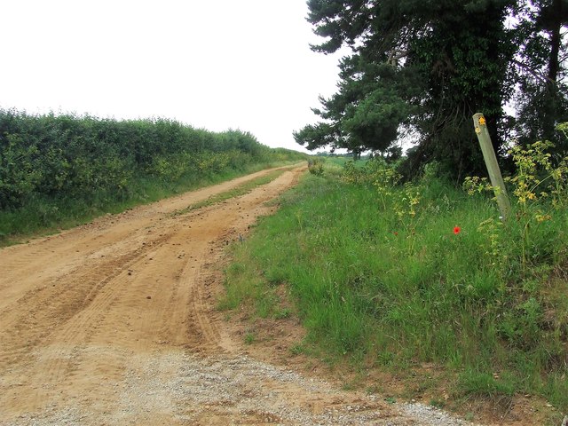
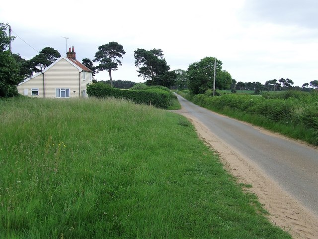
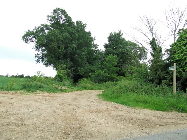
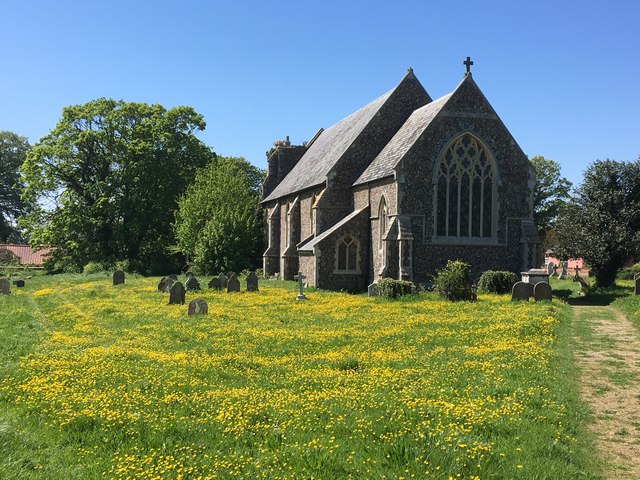
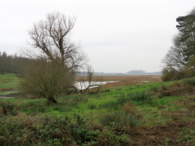
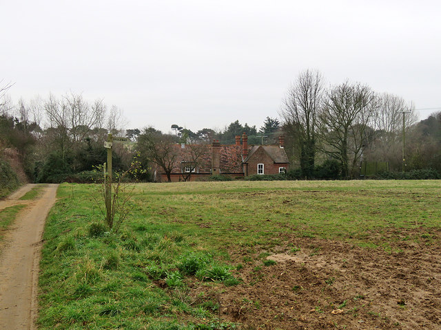
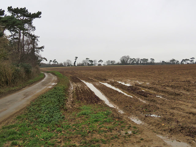
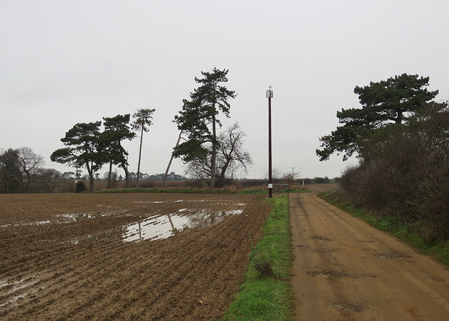
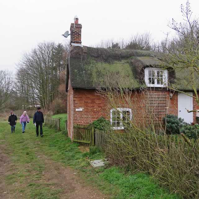
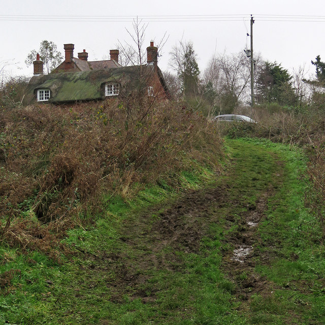
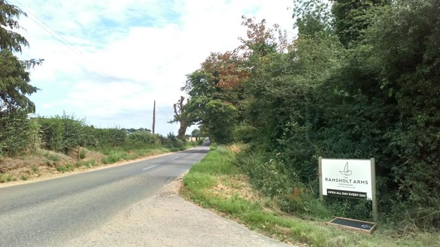
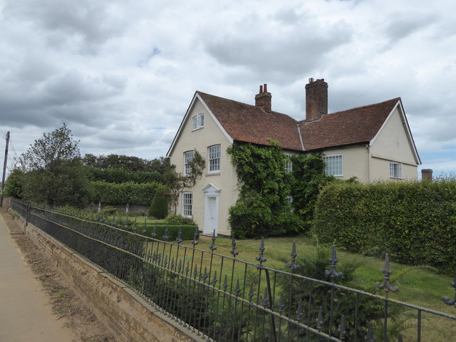
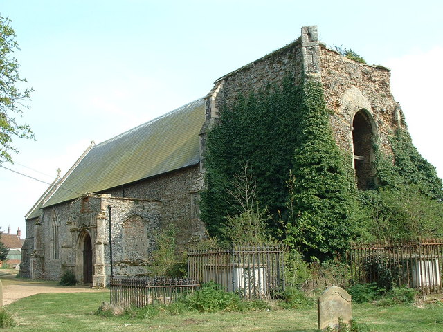
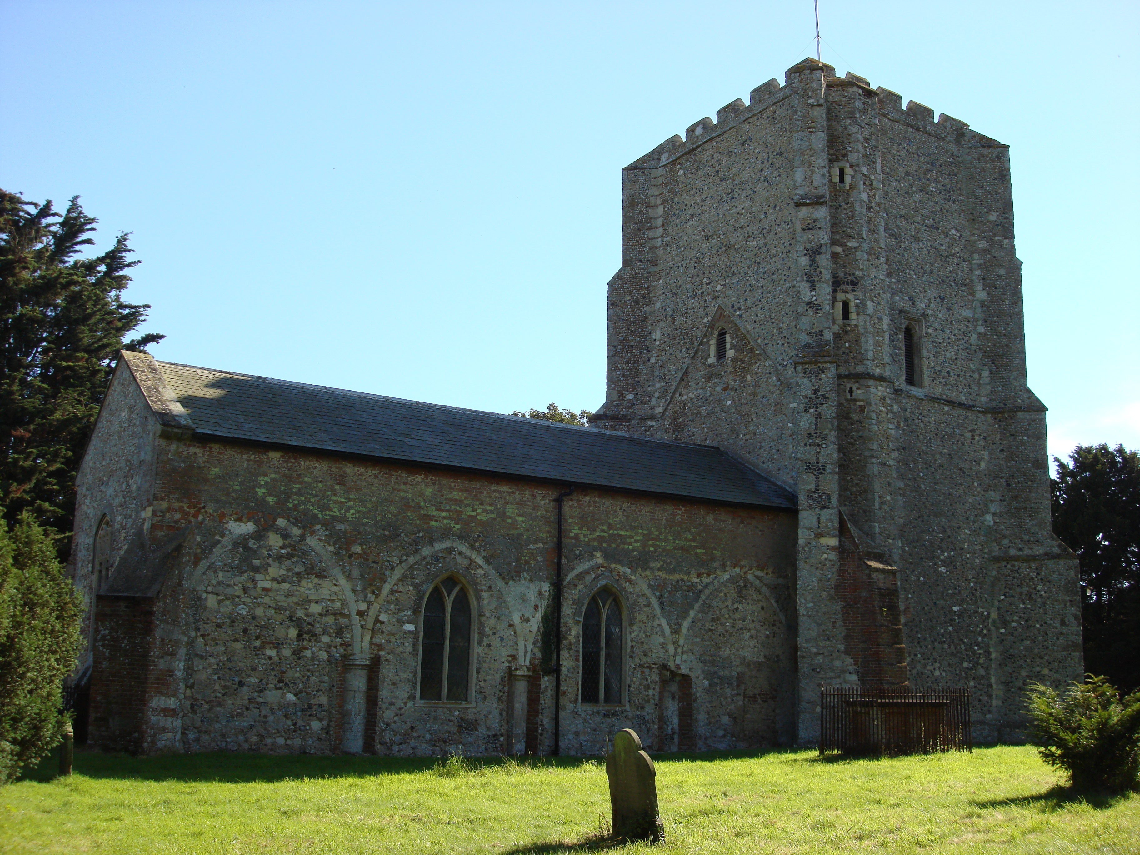
Mary's Grove Images

Images are sourced within 2km of 52.027503/1.3922381 or Grid Reference TM3241. Thanks to Geograph Open Source API. All images are credited.

Ramsholt, Suffolk A tiny hamlet of just a few houses. Compare with this shot taken 11 years previously <a href="https://www.geograph.org.uk/photo/72629">TM3141 : Ramsholt, Suffolk</a>, not much has changed. The largest building is the old school, which was in use until 1927: <a href="https://www.geograph.org.uk/photo/3018053">TM3141 : The Old School, Ramsholt</a>
Ramsholt, Suffolk
A tiny hamlet of just a few houses. Compare with this shot taken 11 years previously TM3141 : Ramsholt, Suffolk, not much has changed. The largest building is the old school, which was in use until 1927: TM3141 : The Old School, Ramsholt
Sandy Track And Footpath Sandy farm track and footpath near to Alderton, Suffolk.
Sandy Track And Footpath
Sandy farm track and footpath near to Alderton, Suffolk.
Minor Road And Heath Cottage Looking east along minor road with Heath Cottage near to Alderton, Suffolk.
Minor Road And Heath Cottage
Looking east along minor road with Heath Cottage near to Alderton, Suffolk.
Footpath And Sign Off B1083 Footpath and sign off the B1083 near to Alderton, Suffolk.
Footpath And Sign Off B1083
Footpath and sign off the B1083 near to Alderton, Suffolk.
St Andrew's Church, Alderton Looking east across the churchyard from the Swan Inn.
St Andrew's Church, Alderton
Looking east across the churchyard from the Swan Inn.
Ramsholt: towards the river A reedy inlet of the Deben, seen from the path from Dock Road to Valley Farm on the cloudy morning of Boxing Day.
Ramsholt: towards the river
A reedy inlet of the Deben, seen from the path from Dock Road to Valley Farm on the cloudy morning of Boxing Day.
Ramsholt: bridle ways and The Old School House The school's heyday was before the Great War - it closed in 1927. The village has dwindled further since then.
Ramsholt: bridle ways and The Old School House
The school's heyday was before the Great War - it closed in 1927. The village has dwindled further since then.
Ramsholt: the lane to the church Standing water on the cloudy morning of Boxing Day.
Ramsholt: the lane to the church
Standing water on the cloudy morning of Boxing Day.
Ramsholt: standing water on Boxing Day Near where the track from Dock Road reaches the lane to Ramsholt Church.
Ramsholt: standing water on Boxing Day
Near where the track from Dock Road reaches the lane to Ramsholt Church.
Ramsholt: a Boxing Day walk past Valley Cottage We were making our way to the church, which stands apart from what remains of this remote village on the Bawdsey peninsula.
Ramsholt: a Boxing Day walk past Valley Cottage
We were making our way to the church, which stands apart from what remains of this remote village on the Bawdsey peninsula.
Ramsholt: uphill to Valley Cottage and The Old School House The school's heyday was before the Great War - it closed in 1927. These are some of the few houses in what is now a tiny and remote hamlet on the Bawdsey peninsula.
Ramsholt: uphill to Valley Cottage and The Old School House
The school's heyday was before the Great War - it closed in 1927. These are some of the few houses in what is now a tiny and remote hamlet on the Bawdsey peninsula.
The B1083 Heading East to Alderton
View southeast from Ramsholt car-park
Roadside flowers and a field of onions
The Street Alderton
The Street Alderton
The Old Post Office, Alderton Both this property and the Swan Inn next door are currently (August 2020) up for sale.
The Old Post Office, Alderton
Both this property and the Swan Inn next door are currently (August 2020) up for sale.
Sign on the wall of the Old Post Office, Alderton
Stangrove Hall
Stangrove Hall
Show me another place!

Mary's Grove is located at Grid Ref: TM3241 (Lat: 52.027503, Lng: 1.3922381)

Administrative County: Suffolk

District: East Suffolk

Police Authority: Suffolk

What 3 Words

///dreams.scar.duet. Near Felixstowe, Suffolk

Nearby Locations

Mary's Grove Zoe's Wood

Related Wikis

Alderton, Suffolk

Alderton is a village and civil parish in the East Suffolk district of Suffolk, England, about six miles north of Felixstowe, 10 miles south-east of Woodbridge...

Ramsholt

Ramsholt is a small village and civil parish within the East Suffolk district, located in the county of Suffolk, England. It is situated on the northern...

Wilford Hundred

Wilford is a hundred of Suffolk, consisting of 31,500 acres (127 km2).Wilford Hundred extends about 12 miles (19 km) southward from Debach to Woodbridge...

Buckanay Farm Pit, Alderton

Buckanay Farm Pit, Alderton is a 0.7-hectare (1.7-acre) geological Site of Special Scientific Interest east of Alderton in Suffolk. It is a Geological...
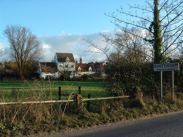
Shottisham

Shottisham is a village and civil parish in the East Suffolk district, in the county of Suffolk. It lies in the Wilford Hundred, about four and a half...

Bawdsey

Bawdsey is a village and civil parish in Suffolk, eastern England. Located on the other side of the river Deben from Felixstowe, it had an estimated population...

Rockhall Wood Pit, Sutton

Rockhall Wood Pit, Sutton is a 5.3-hectare (13-acre) geological Site of Special Scientific Interest west of Shottisham in Suffolk. It is a Geological Conservation...

Ramsholt Cliff

Ramsholt Cliff is a 2.1-hectare (5.2-acre) geological Site of Special Scientific Interest north-west of Ramsholt in Suffolk. It is a Geological Conservation...

Nearby Amenities

Located within 500m of 52.027503,1.3922381
Mary's Grove
Place: locality
Lat/Long: 52.0276826/1.3926987
Gravel Pit Wood
Place: locality
Lat/Long: 52.0288599/1.3988256
Alderton Walks
Place: locality
Lat/Long: 52.0299617/1.3916853
Parking
Access: private
Lat/Long: 52.0242472/1.3913557
The data included in this document is from www.openstreetmap.org. The data is made available under ODbL.

Have you been to Mary's Grove?

Leave your review of Mary's Grove below (or comments, questions and feedback).