Moat Plantation
Wood, Forest in Norfolk North Norfolk
England
Moat Plantation

Moat Plantation is a picturesque woodland area located in Norfolk, England. Spanning over a vast expanse, it is renowned for its dense forests and enchanting woodlands. The plantation is situated near the village of Wood and is named after the medieval moat that surrounds the area, adding to its charm and historical significance.
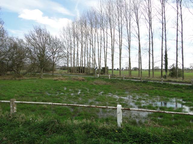
Covering an area of approximately 500 acres, Moat Plantation is a haven for nature lovers and outdoor enthusiasts. The woodlands are dominated by a variety of tree species, including oak, beech, and birch, forming a lush green canopy that provides shelter to numerous wildlife species. The diverse ecosystem of the plantation supports a wide range of flora and fauna, making it an ideal habitat for a multitude of bird species, small mammals, and insects.
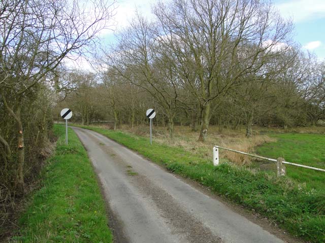
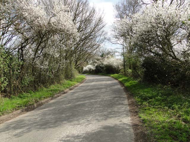
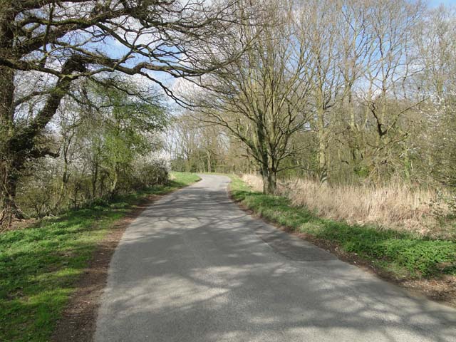
Visitors to Moat Plantation can explore its many walking trails and enjoy the tranquil surroundings. The plantation offers a peaceful retreat from the hustle and bustle of city life, providing an opportunity to reconnect with nature. The dense forest areas offer a cool respite during hot summer months and a stunning display of vibrant foliage during the autumn season.
In addition to its natural beauty, Moat Plantation also holds historical significance. The medieval moat that encircles the area serves as a reminder of its past, evoking images of a bygone era. The plantation is also home to several archaeological sites, including ancient burial mounds and remnants of old settlements, further adding to its historical allure.
Moat Plantation, Norfolk, is a captivating destination for nature enthusiasts, history buffs, and those seeking a peaceful escape amidst breathtaking woodlands. Its rich biodiversity, scenic beauty, and historical significance make it a must-visit location in the region.
If you have any feedback on the listing, please let us know in the comments section below.
Moat Plantation Images
Images are sourced within 2km of 52.810836/1.4529138 or Grid Reference TG3229. Thanks to Geograph Open Source API. All images are credited.


Moat Plantation is located at Grid Ref: TG3229 (Lat: 52.810836, Lng: 1.4529138)
Administrative County: Norfolk
District: North Norfolk
Police Authority: Norfolk
What 3 Words
///liberated.tipping.gadgets. Near Bacton, Norfolk
Nearby Locations
Related Wikis
Crostwight
Crostwight is a small village and former civil parish, now in the parish of Honing, in the North Norfolk district, in the north-east of the county of Norfolk...
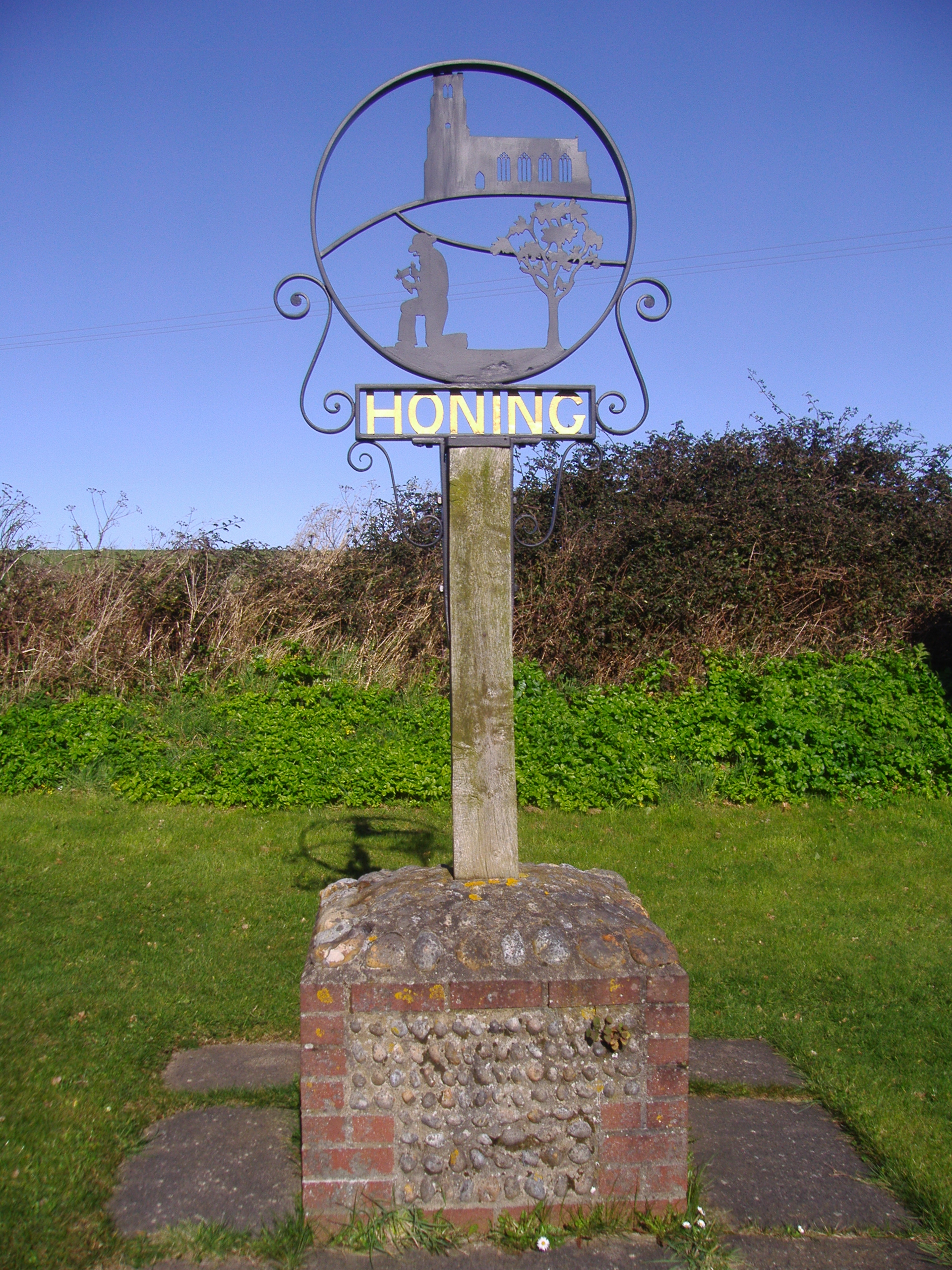
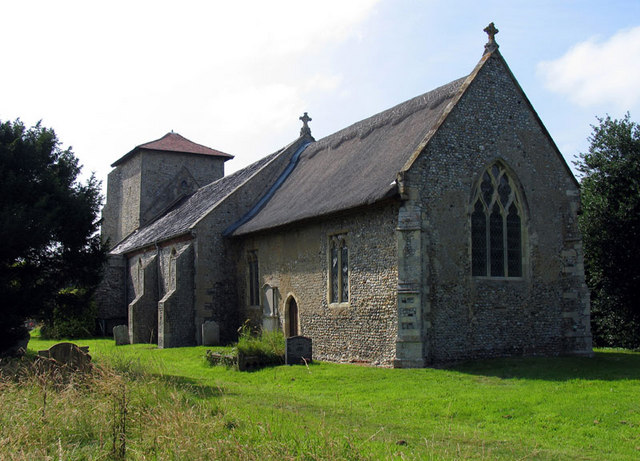
Honing, Norfolk
Honing is a village and a civil parish in the English county of Norfolk. The village is 15 miles (24 km) north-northeast of Norwich, 13 miles (21 km) south...
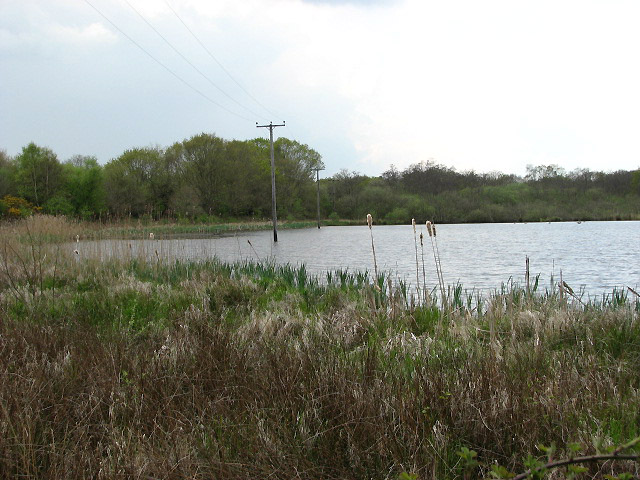
East Ruston Common
East Ruston Common is a 34.5-hectare (85-acre) biological Site of Special Scientific Interest south-east of North Walsham om Norfolk.This is an area of...
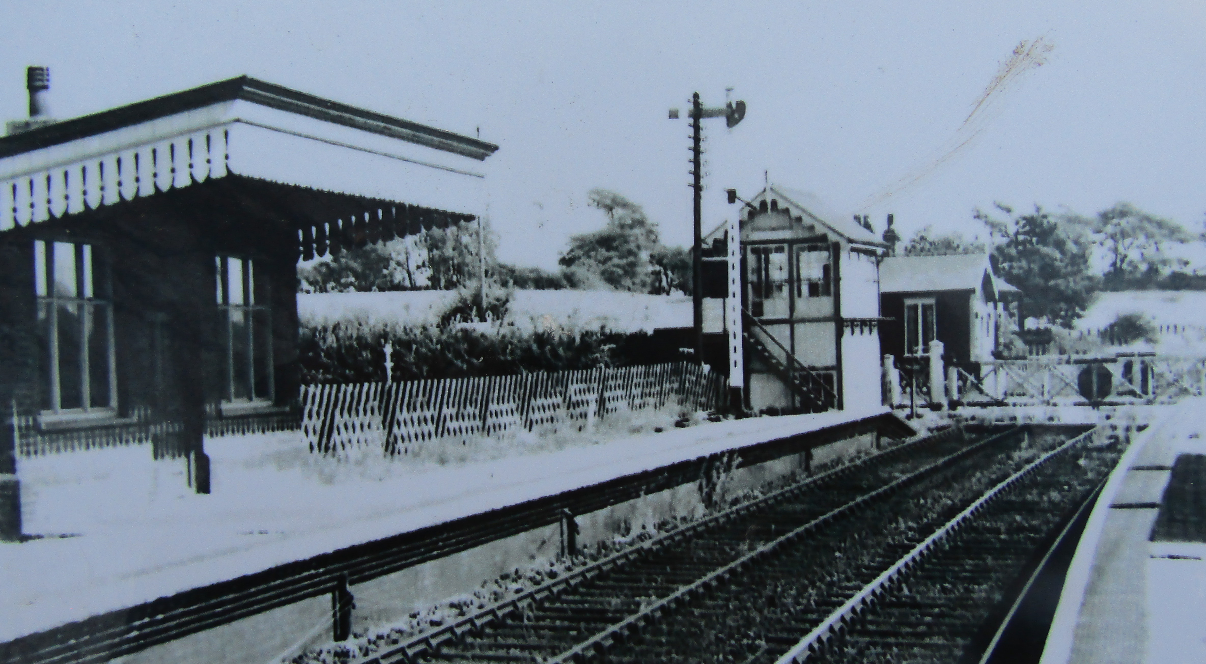
Honing railway station
Honing railway station was a station in Norfolk, England, serving the small village of Honing. It was on the Midland and Great Northern Joint Railway between...
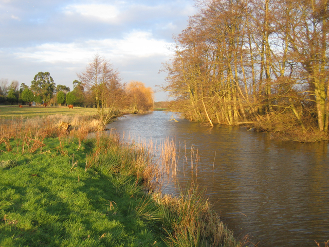
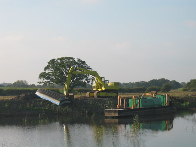
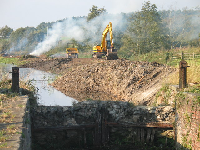
North Walsham & Dilham Canal
The North Walsham and Dilham Canal is a waterway in the English county of Norfolk. It was authorised by Parliament in 1812, but work on the construction...

East Ruston
East Ruston is a village and a civil parish in the English county of Norfolk. The village is located 4.1 miles (6.6 km) south-east of North Walsham and...

Edingthorpe
Edingthorpe Edingthorpe is a small village and former civil parish, now in the parish of Bacton, in the North Norfolk district, in the county of Norfolk...
Witton, North Norfolk
Witton is a village and civil parish in the English county of Norfolk. It is located 8 km (5.0 mi) east of the town of North Walsham and 30 km (19 mi)...
Nearby Amenities
Located within 500m of 52.810836,1.4529138Have you been to Moat Plantation?
Leave your review of Moat Plantation below (or comments, questions and feedback).