Burnt Walk Plantation
Wood, Forest in Suffolk East Suffolk
England
Burnt Walk Plantation
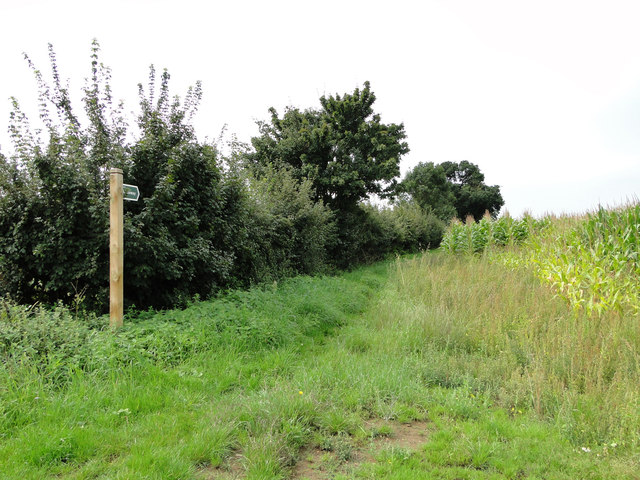
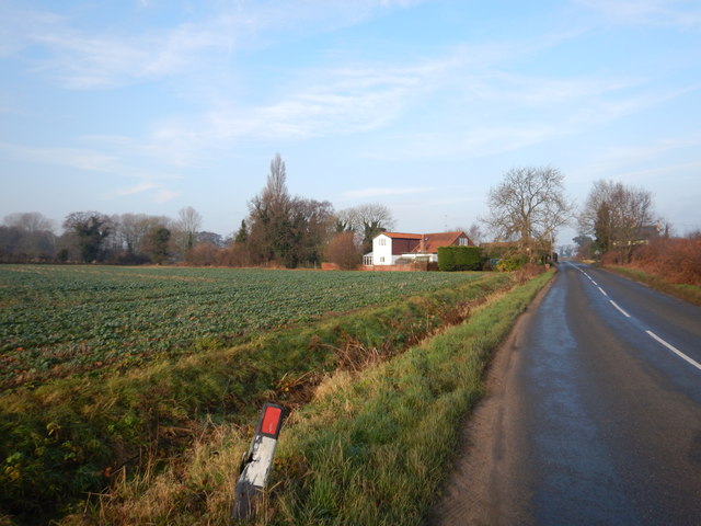
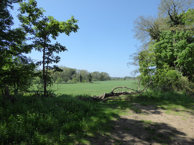
Burnt Walk Plantation is a picturesque forest located in Suffolk, England. Covering an area of approximately 200 acres, this woodland is a haven for nature enthusiasts and offers a peaceful retreat for visitors.
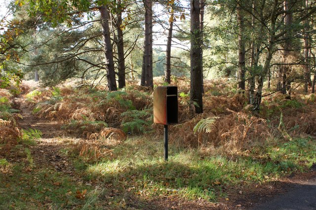
The plantation is characterized by a diverse range of tree species, including oak, birch, and beech trees. These majestic trees form a dense canopy, providing shelter and a habitat for a variety of wildlife. Visitors can spot animals such as deer, foxes, and numerous bird species that call the plantation their home.
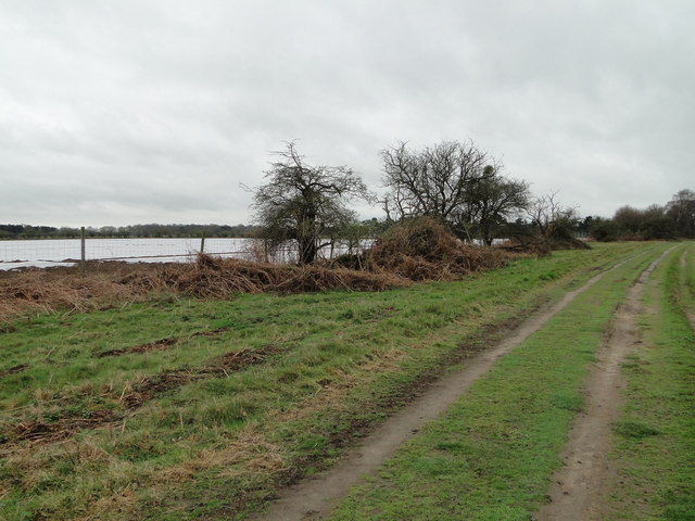
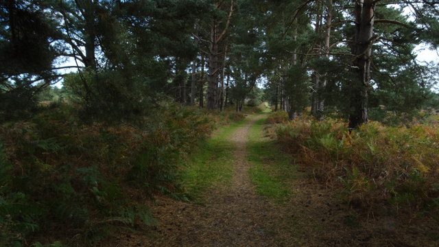
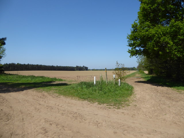
The forest is crisscrossed by a network of well-maintained trails, allowing visitors to explore the area on foot or by bicycle. These trails wind through the woodland, offering breathtaking views of the surrounding landscape. Along the way, visitors may come across small streams and ponds, adding to the tranquility of the forest.
Burnt Walk Plantation is also known for its historical significance. The name "Burnt Walk" refers to a historic event where a fire swept through the forest, leaving behind charred remnants of trees. Today, these burnt trees stand as a reminder of the plantation's past and add a unique element to its natural beauty.
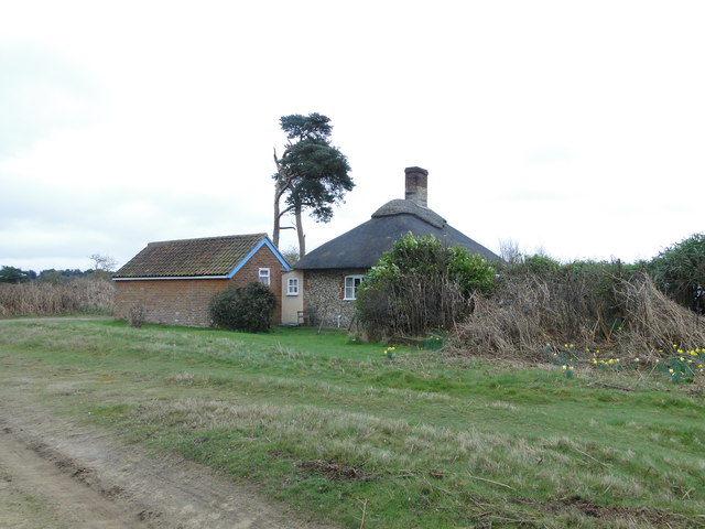
The plantation is open to the public year-round, with facilities including parking, picnic areas, and restroom facilities available for visitors. It is a popular destination for families, hikers, and nature lovers who seek solace in the serene surroundings. Whether it is to enjoy a leisurely stroll, observe wildlife, or simply unwind in nature, Burnt Walk Plantation offers a truly enchanting experience for all who visit.
If you have any feedback on the listing, please let us know in the comments section below.
Burnt Walk Plantation Images
Images are sourced within 2km of 52.066405/1.395013 or Grid Reference TM3246. Thanks to Geograph Open Source API. All images are credited.


Burnt Walk Plantation is located at Grid Ref: TM3246 (Lat: 52.066405, Lng: 1.395013)
Administrative County: Suffolk
District: East Suffolk
Police Authority: Suffolk
What 3 Words
///reputable.shortcuts.yard. Near Woodbridge, Suffolk
Related Wikis

Sutton and Hollesley Heaths
Sutton and Hollesley Heaths is a 483.3-hectare (1,194-acre) biological Site of Special Scientific Interest south-east of Woodbridge in Suffolk. Most of...

Crag Pit, Sutton
Crag Pit, Sutton is a 0.7-hectare (1.7-acre) biological Site of Special Scientific Interest north of Shottisham in Suffolk. It is in the Suffolk Coast...

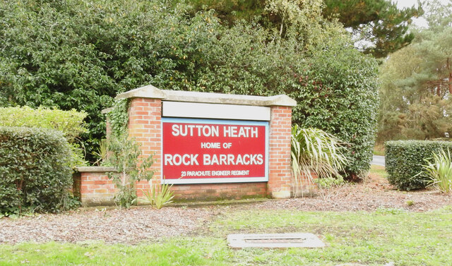
Sutton Heath
Sutton Heath is a civil parish on the former site of RAF Woodbridge, in the East Suffolk district, in the county of Suffolk, England. The parish was formed...
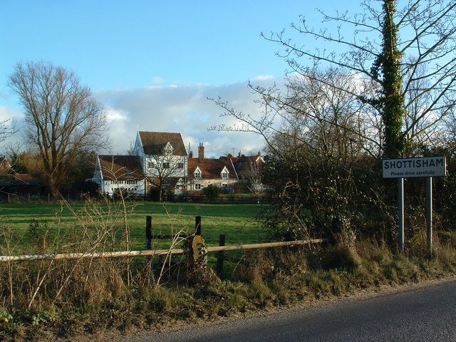
Shottisham
Shottisham is a village and civil parish in the East Suffolk district, in the county of Suffolk. It lies in the Wilford Hundred, about four and a half...
Wilford Hundred
Wilford is a hundred of Suffolk, consisting of 31,500 acres (127 km2).Wilford Hundred extends about 12 miles (19 km) southward from Debach to Woodbridge...
Sutton, Suffolk
Sutton is a village and a civil parish on the B1083 road, in the East Suffolk district, in the county of Suffolk, England. Sutton has a pub, a mobile post...
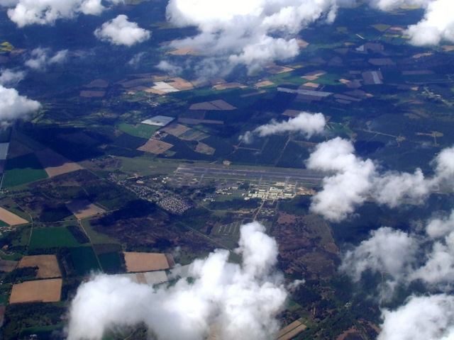
MoD Woodbridge
Ministry of Defence Woodbridge or MoD Woodbridge is a military installation located near the town of Woodbridge, in Suffolk, England. The site opened in...

RAF Woodbridge
Royal Air Force Woodbridge, or more simply RAF Woodbridge, is a former Royal Air Force station located east of Woodbridge in the county of Suffolk, England...
Nearby Amenities
Located within 500m of 52.066405,1.395013Have you been to Burnt Walk Plantation?
Leave your review of Burnt Walk Plantation below (or comments, questions and feedback).