Heron's Plantation
Wood, Forest in Norfolk Broadland
England
Heron's Plantation

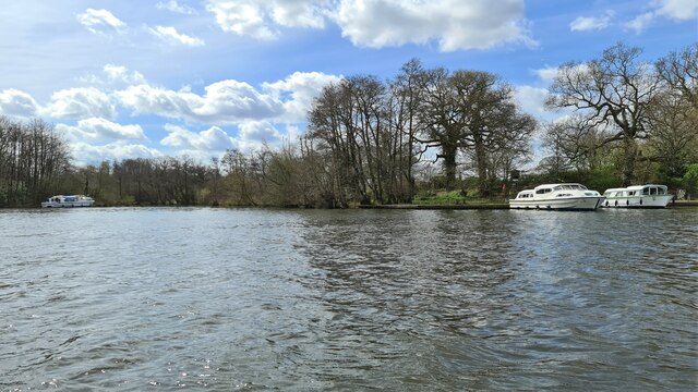
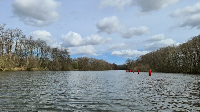
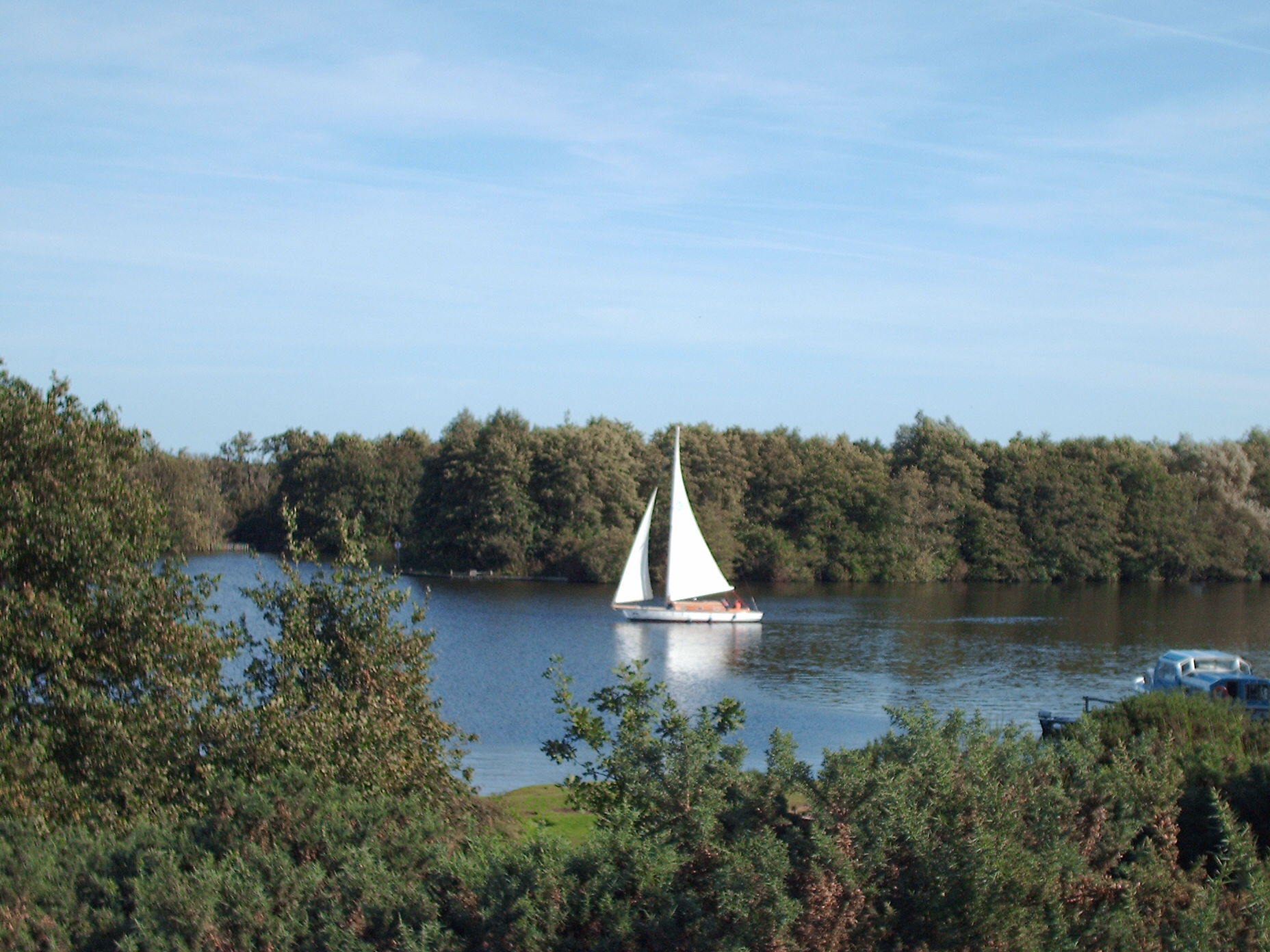
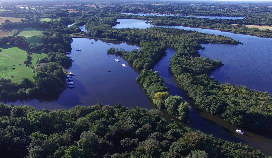
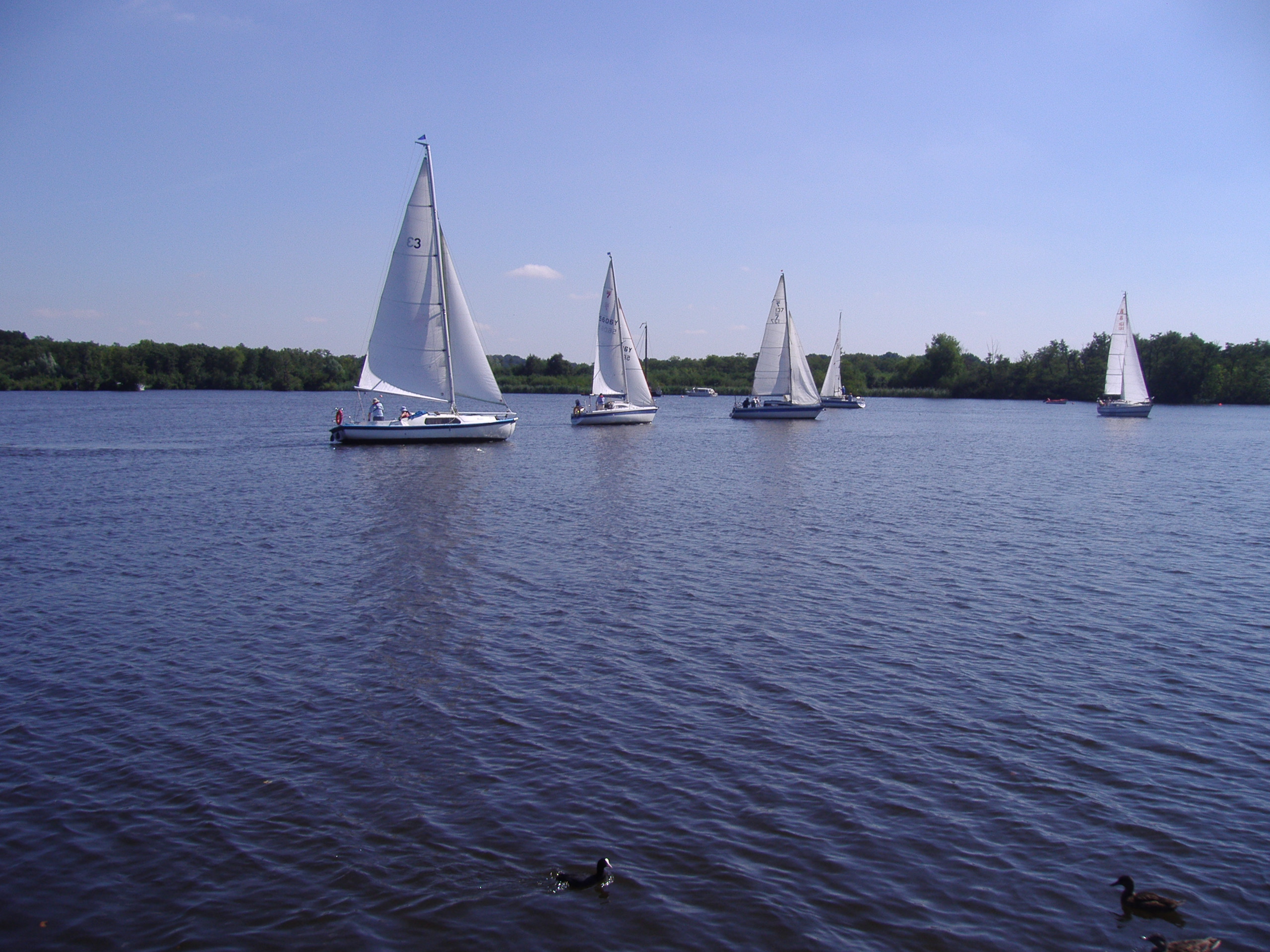
Heron's Plantation, located in Norfolk, England, is a picturesque wood and forest area that covers approximately 300 acres of land. This natural haven is nestled amidst the rolling countryside, offering a tranquil retreat for nature enthusiasts and adventurers alike.
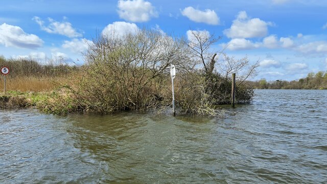
The plantation is named after the heron, a majestic bird species that often frequents the area's serene ponds and streams. The diverse ecosystem is home to a wide range of flora and fauna, creating a thriving habitat for numerous species. Towering trees, including oak, beech, and birch, dominate the landscape, casting a soothing shade over the forest floor.
Visitors to Heron's Plantation can explore a network of well-maintained footpaths and trails that wind through the woodland. These trails provide opportunities for hiking, jogging, or simply enjoying a leisurely stroll while immersing oneself in the beauty of nature. Along the way, one may encounter a variety of wildlife, such as deer, foxes, and a multitude of bird species.
The plantation also boasts several tranquil picnic spots, allowing visitors to relish the peaceful surroundings while enjoying a packed lunch or a cup of tea amidst the beauty of the forest. Additionally, a children's play area provides younger visitors with a chance to engage in outdoor activities and let their imaginations run wild.
Heron's Plantation is easily accessible, with ample parking facilities available for visitors. The plantation's commitment to environmental conservation is evident through its dedication to maintaining the natural beauty of the area, making it a cherished destination for those seeking solace in nature's embrace.
If you have any feedback on the listing, please let us know in the comments section below.
Heron's Plantation Images
Images are sourced within 2km of 52.685888/1.4400941 or Grid Reference TG3215. Thanks to Geograph Open Source API. All images are credited.


Heron's Plantation is located at Grid Ref: TG3215 (Lat: 52.685888, Lng: 1.4400941)
Administrative County: Norfolk
District: Broadland
Police Authority: Norfolk
What 3 Words
///promises.relatives.prepared. Near Horning, Norfolk
Nearby Locations
Related Wikis

Woodforde's Brewery
Woodforde's Brewery is a brewery located on Slad Lane in the village of Woodbastwick, in the county of Norfolk, England. The brewery produced its first...
Woodbastwick
Woodbastwick is a village and civil parish in the English county of Norfolk. It is located on the River Bure between Cockshoot Broad and Salhouse Broad...

Woodbastwick Hall
Woodbastwick Hall is a country house at Woodbastwick in Norfolk. == History == The house dates back to circa 1600. In 1807 the house and estates were acquired...
Salhouse Broad
Salhouse Broad, one of the Norfolk Broads, is situated on the River Bure in The Broads in Norfolk, England. The broad is situated just off the river and...
Hoveton Great Broad
Hoveton Great Broad lies within The Broads in Norfolk, England, between Wroxham Broad and Salhouse Broad. The broad is connected to the River Bure, but...

Bure Marshes National Nature Reserve
Bure Marshes National Nature Reserve (NNR) is maintained by English Nature in Norfolk, England, within The Broads National Park. It is mostly fen land...

Cockshoot Broad
Cockshoot Broad is a 5-hectare (12-acre) nature reserve north-east of Norwich in Norfolk. It is managed by the Norfolk Wildlife Trust. It is part of the...
Wroxham Broad
Wroxham Broad is an area of open water alongside the River Bure near the village of Wroxham in Norfolk, England within The Broads National Park. The Norfolk...
Nearby Amenities
Located within 500m of 52.685888,1.4400941Have you been to Heron's Plantation?
Leave your review of Heron's Plantation below (or comments, questions and feedback).