Broom Hill
Hill, Mountain in Norfolk Broadland
England
Broom Hill

Broom Hill is a prominent hill located in the county of Norfolk, England. It is situated near the village of Brundall, approximately 8 miles east of the city of Norwich. Despite its name, Broom Hill does not resemble the typical image of a hill or mountain, as it stands at an elevation of only 30 meters (98 feet) above sea level. However, it is considered a significant landmark in the surrounding area.
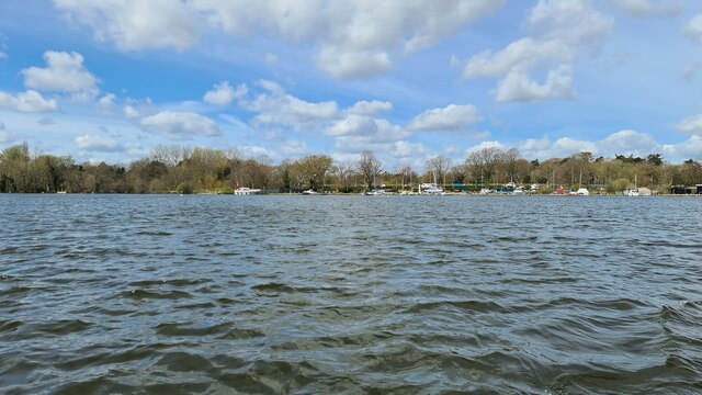
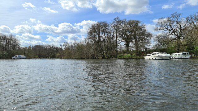
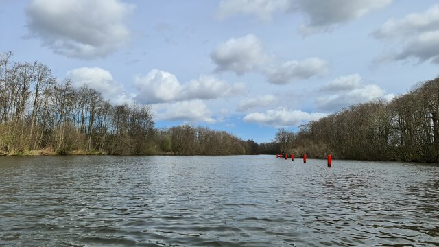
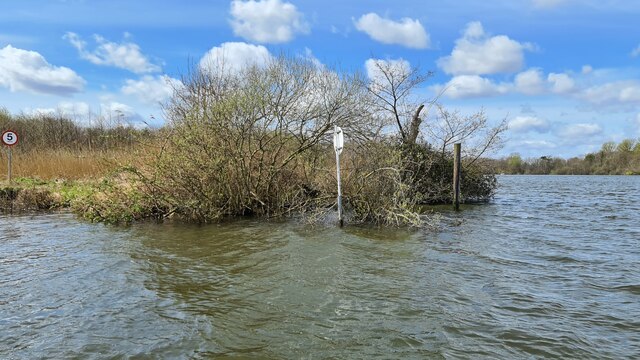
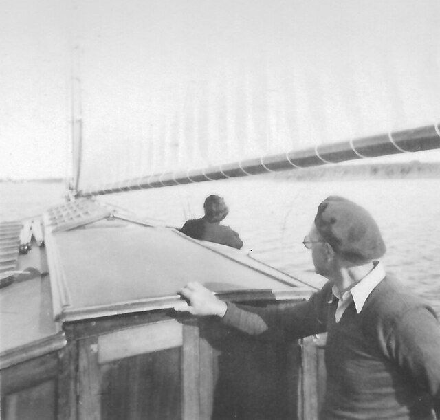
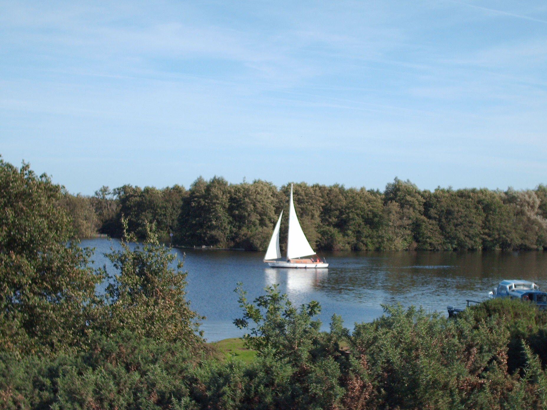
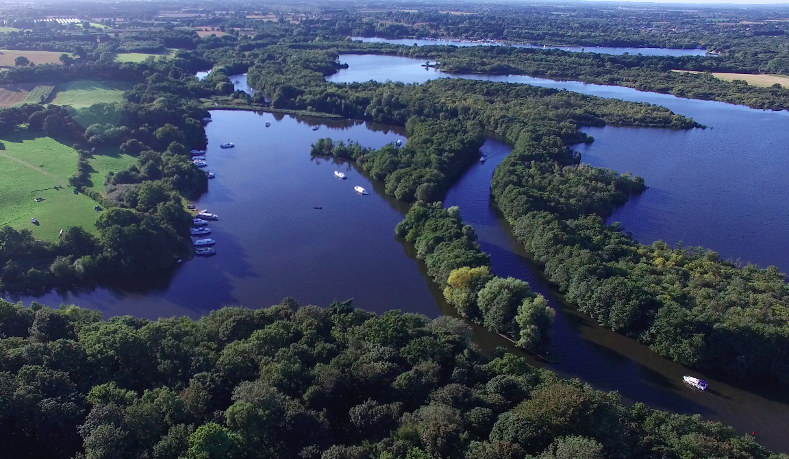
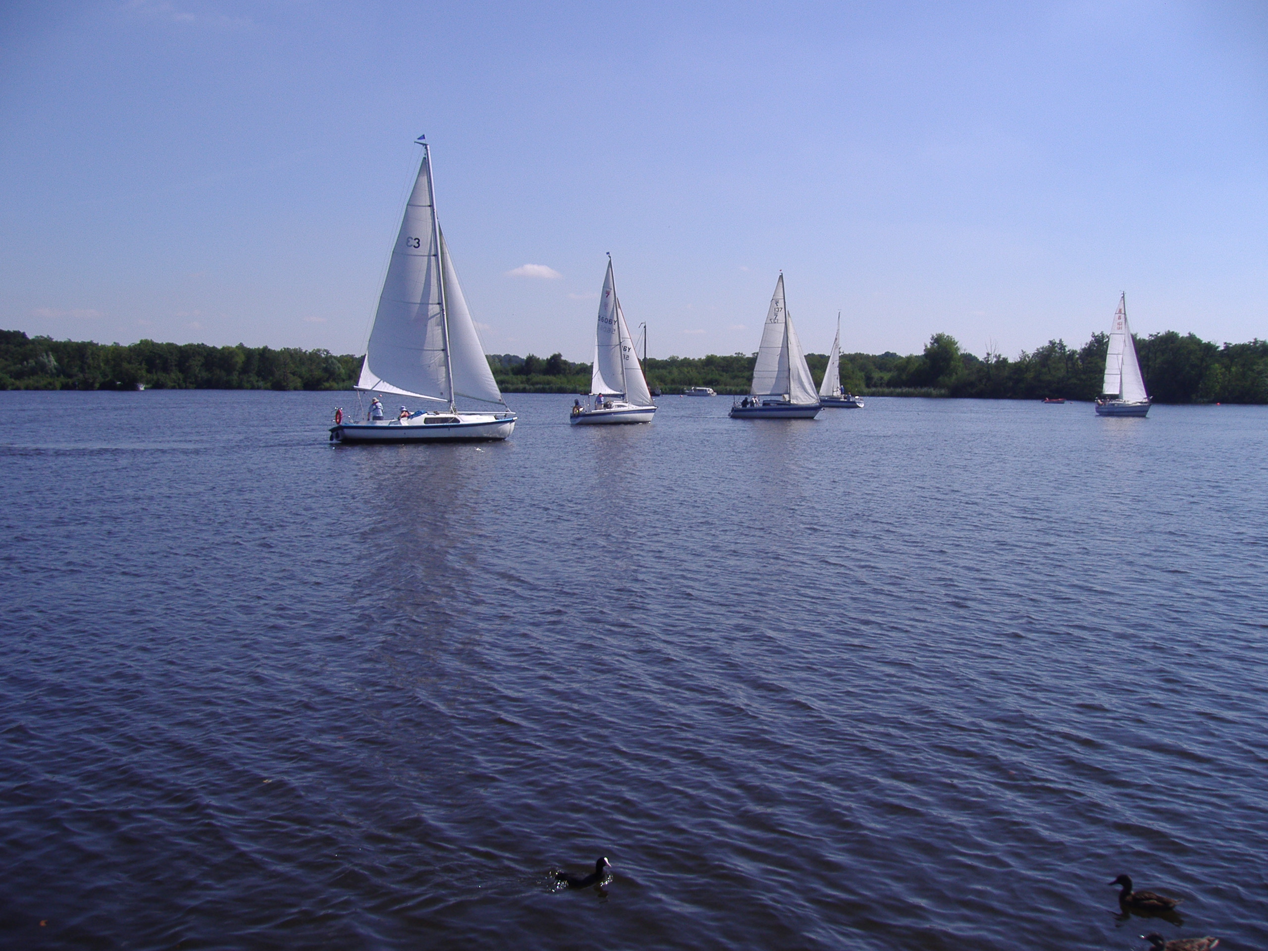
The hill is covered in a mix of vegetation, including grass, shrubs, and trees, creating a picturesque landscape. It offers stunning panoramic views of the surrounding countryside, including the nearby River Yare and the Norfolk Broads, a network of rivers, lakes, and marshes.
Due to its accessible location, Broom Hill attracts both locals and visitors who enjoy outdoor activities such as walking, hiking, and birdwatching. The hill forms part of the Broomhill Estate, which is privately owned but open to the public. There are designated footpaths and trails that allow visitors to explore the area and enjoy its natural beauty.
Aside from its recreational value, Broom Hill also holds historical significance. It is believed to have been a Viking burial site dating back to the 9th or 10th century, as several Viking artifacts have been found in the vicinity. This adds to the mystique and allure of the hill for history enthusiasts.
In summary, Broom Hill is a modest but picturesque hill in Norfolk, offering scenic views, recreational opportunities, and a touch of history for those who visit.
If you have any feedback on the listing, please let us know in the comments section below.
Broom Hill Images
Images are sourced within 2km of 52.686828/1.436231 or Grid Reference TG3215. Thanks to Geograph Open Source API. All images are credited.


Broom Hill is located at Grid Ref: TG3215 (Lat: 52.686828, Lng: 1.436231)
Administrative County: Norfolk
District: Broadland
Police Authority: Norfolk
What 3 Words
///tacky.drags.northward. Near Horning, Norfolk
Nearby Locations
Related Wikis
Salhouse Broad
Salhouse Broad, one of the Norfolk Broads, is situated on the River Bure in The Broads in Norfolk, England. The broad is situated just off the river and...

Woodforde's Brewery
Woodforde's Brewery is a brewery located on Slad Lane in the village of Woodbastwick, in the county of Norfolk, England. The brewery produced its first...

Woodbastwick Hall
Woodbastwick Hall is a country house at Woodbastwick in Norfolk. == History == The house dates back to circa 1600. In 1807 the house and estates were acquired...
Woodbastwick
Woodbastwick is a village and civil parish in the English county of Norfolk. It is located on the River Bure between Cockshoot Broad and Salhouse Broad...
Hoveton Great Broad
Hoveton Great Broad lies within The Broads in Norfolk, England, between Wroxham Broad and Salhouse Broad. The broad is connected to the River Bure, but...
Wroxham Broad
Wroxham Broad is an area of open water alongside the River Bure near the village of Wroxham in Norfolk, England within The Broads National Park. The Norfolk...

Bure Marshes National Nature Reserve
Bure Marshes National Nature Reserve (NNR) is maintained by English Nature in Norfolk, England, within The Broads National Park. It is mostly fen land...

Cockshoot Broad
Cockshoot Broad is a 5-hectare (12-acre) nature reserve north-east of Norwich in Norfolk. It is managed by the Norfolk Wildlife Trust. It is part of the...
Related Videos

Explore Horning Norfolk Broads in May 2023
Norfolkbroads #Horning #Boating #BoatingLife #Boatlife #norfolk Explore Horning Norfolk Broads in May 2023 The video was ...

Norfolk Broads Drive With Me #autumn #tourism #driving
Norfolk Broads: Drive with me October 2021 In today's video, I take you to Woodbastwick, where I plan to show you how to get to ...
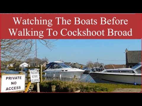
Watching The Boats Before Walking To Cockshoot Broad #norfolkbroads #boats #walking
Hi everyone Finally the road to Woodbastwick car park is no longer flooded. I can drive to the car park and watch the boats.
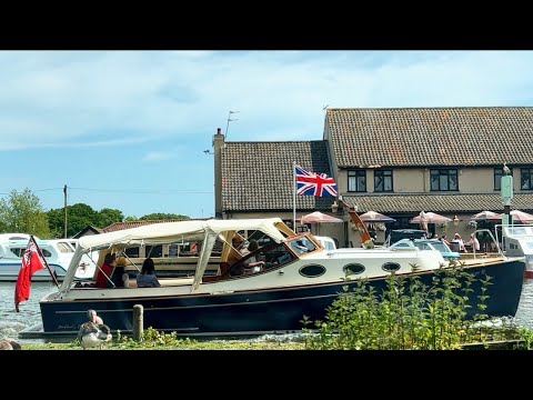
May 2023 Bank Holiday, watching several boats on the River Bure at Horning #river #boat #holiday
May 2023 Bank Holiday watching several boats on the River Bure at Horning #river #boat #holiday Hi everyone, It's the end of ...
Nearby Amenities
Located within 500m of 52.686828,1.436231Have you been to Broom Hill?
Leave your review of Broom Hill below (or comments, questions and feedback).