Horsey Wood
Wood, Forest in Norfolk Broadland
England
Horsey Wood
Horsey Wood is a charming forest located in the county of Norfolk, England. Nestled within the Norfolk Broads National Park, this woodland area is renowned for its serene beauty, diverse wildlife, and rich history.
Covering an area of approximately 250 acres, Horsey Wood is predominantly made up of deciduous trees, such as oak, beech, and birch. The forest floor is lush with ferns, mosses, and wildflowers, creating a picturesque setting throughout the year. Walking through the wood, visitors are greeted with a sense of tranquility as sunlight filters through the dense canopy above.
The woods are home to a variety of wildlife, making it a popular spot for nature enthusiasts. Birdwatchers can enjoy sightings of species like woodpeckers, owls, and warblers, while the forest floor is frequented by rabbits, deer, and squirrels. In addition, the nearby Horsey Mere is known for its resident colony of grey seals, attracting visitors who come to witness these fascinating creatures.
Horsey Wood also holds historical significance. It is believed to have been part of a hunting ground for the medieval nobility and has remnants of ancient ditches and banks. Additionally, the wood played a role during World War II when it was used as a training ground for soldiers.
Accessible through a network of footpaths, Horsey Wood offers visitors the chance to explore its natural wonders. Whether it's a leisurely stroll, a picnic among the trees, or simply immersing oneself in the peaceful ambiance, Horsey Wood is a delightful destination for nature lovers and history enthusiasts alike.
If you have any feedback on the listing, please let us know in the comments section below.
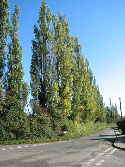
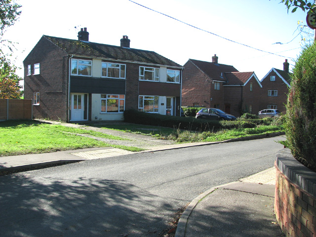
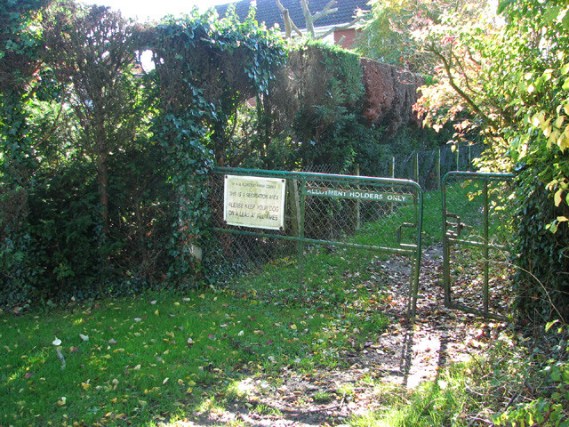
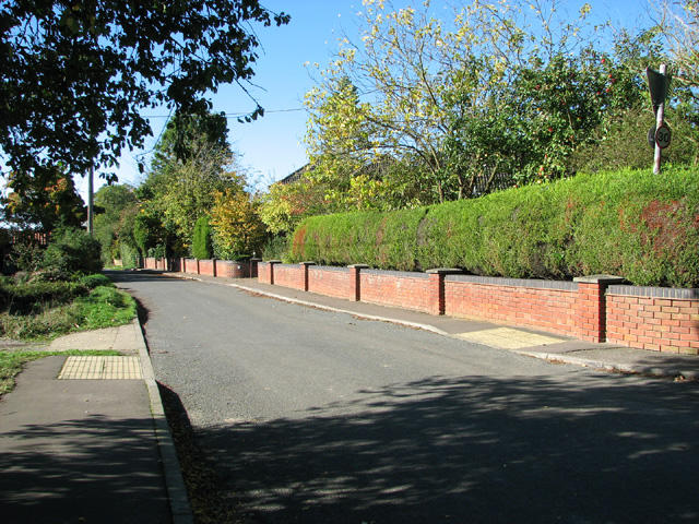
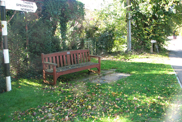
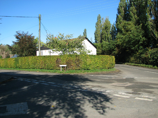
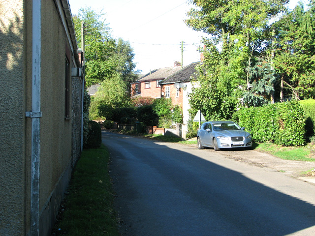
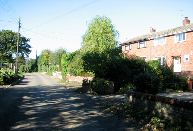
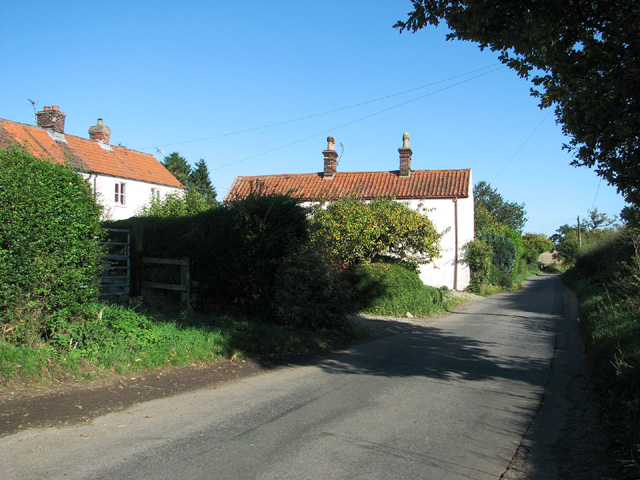
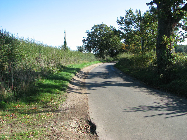
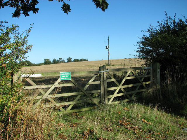
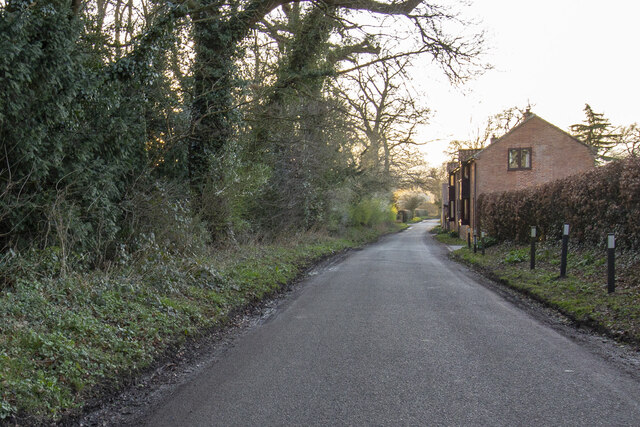
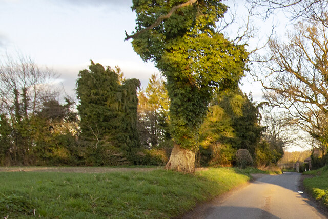
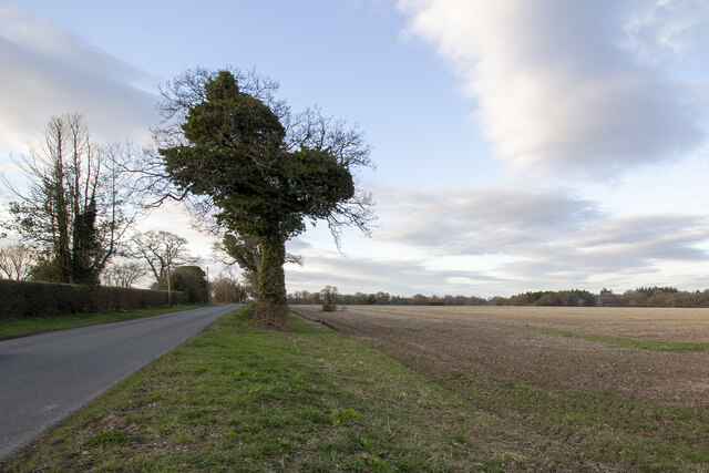
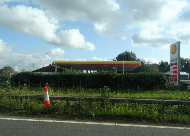
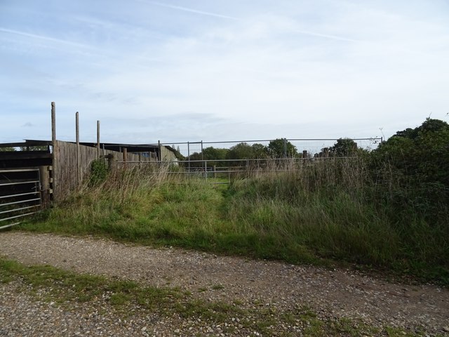
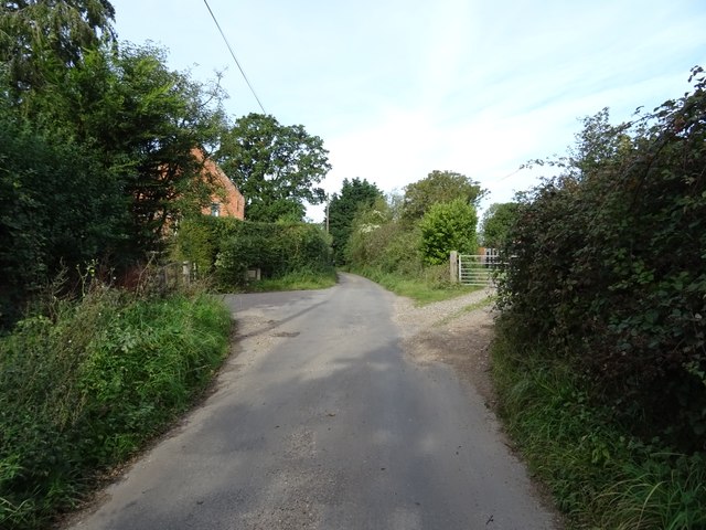
Horsey Wood Images
Images are sourced within 2km of 52.64841/1.4217995 or Grid Reference TG3111. Thanks to Geograph Open Source API. All images are credited.
Horsey Wood is located at Grid Ref: TG3111 (Lat: 52.64841, Lng: 1.4217995)
Administrative County: Norfolk
District: Broadland
Police Authority: Norfolk
What 3 Words
///quest.shortens.luring. Near Brundall, Norfolk
Nearby Locations
Related Wikis

Great and Little Plumstead
Great and Little Plumstead is a civil parish in the English county of Norfolk consisting of the villages of Great Plumstead, Little Plumstead and Thorpe...

Blofield Heath
Blofield Heath is a hamlet in the civil parish of Blofield, in the Broadland district, in the county of Norfolk, England. It is about 7 miles from Norwich...

Blofield
Blofield is a village and civil parish in the Broadland district of Norfolk, England. The parish includes Blofield and the hamlets of Blofield Heath and...
Norwich United F.C.
Norwich United Football Club is a football club based in Blofield, Norfolk, England. Affiliated to the Norfolk County FA, they play at Plantation Park...
Nearby Amenities
Located within 500m of 52.64841,1.4217995Have you been to Horsey Wood?
Leave your review of Horsey Wood below (or comments, questions and feedback).